Recently in All Terrain Vehicle (ATV) Category

Running the M1123 Humvee

| No Comments

Sourced this USMC M1123 Troop Carrier from a private seller in Virgin, Utah. At the time, it had ~3000 miles on it.

Decided that it needed a winch, so I sourced a Mile Marker 15,000 pound winch and got it installed. Most everything on this rig is 24v, so you can’t just put anything electrical on the rig. To get the winch in place, we had to cut away quite a bit of structural steel under the bumper. Off to R&R Welding to reinforce.

Soon after the winch, I decided it was time for a brush guard to move animals and trees out of the way. Once those were both installed, it was time to wheel this beast.

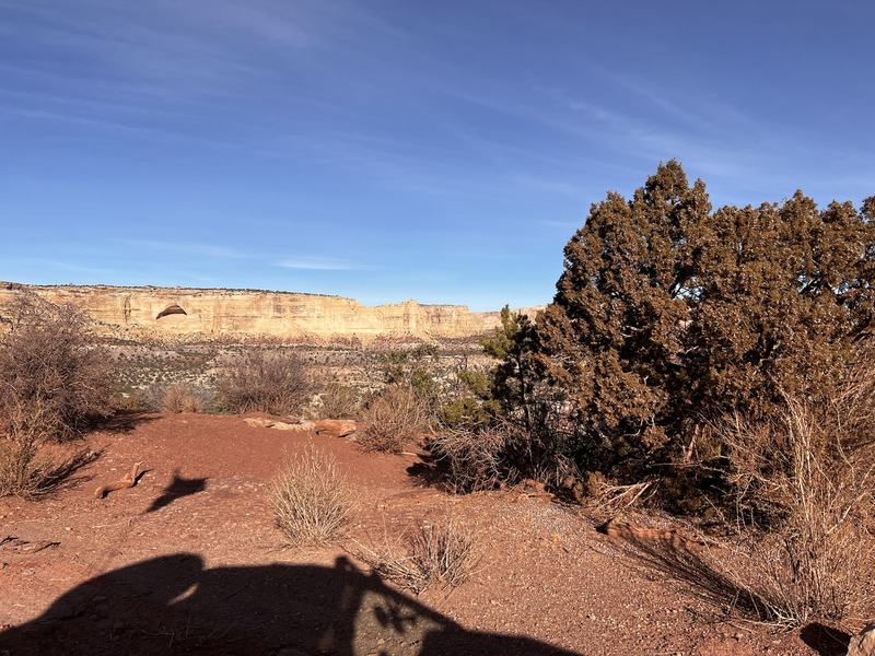
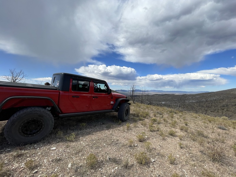
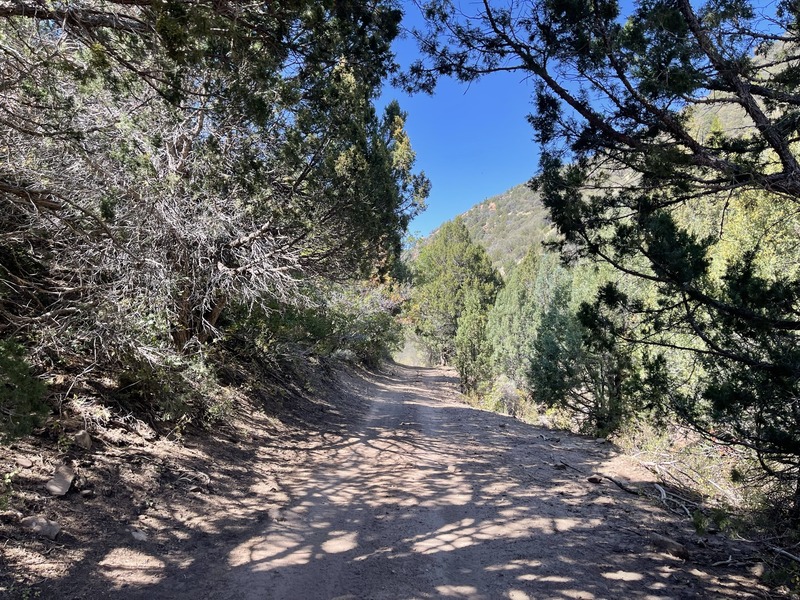
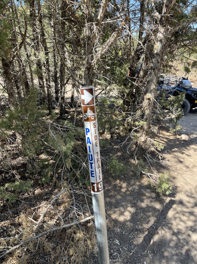
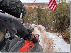
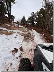
I aired down to 12PSI and off we went. We discovered quite quickly that this rig is pretty wide for your average non-50” trail.

All in all, once I figured out the BRAKE THROTTLE MODULATION trick (BTM), essentially riding the brake and throttle at the same time, we learned that this thing would walk through any terrain.

20240115_140923IMG_1980IMG_2188IMG_2189IMG_2190IMG_2191IMG_2192IMG_2193IMG_2194

2022 Christmas fun in the snow

| No Comments

Good times! Alexander King and I jumped in the CanAm X3 (2 seat ATV) and decided to attempt a full loop around Panguitch Lake. We started offroad at Brandi Morgan Dickinson house, followed the trail due south and came down to HWY143 via Hatch Mountain Rd. We plowed fresh snow for a good 5 miles.
We then circled all of Panguitch Lake before catching the Horse Valley Rd route back North and toward home. We hit snow and I was positive I was following TIRE tracks.. NOPE. The minute we slid off trail, we sank 2.5-3' into deep powder. We were following snow mobile tracks! 

No trees in front of me and the nearest trees to the rear were over 100' away. I used all the winch and recovery line I had with me (I had about 200' of length). We had only about 5 more feet to get out of the deep stuff before the winch cable snapped!

I then decided that this Search and Rescue guy needed his Jeep to rescue him. I found a spot that gave me ONE BAR of cell reception, called the Trish and gave her basic coordinates to where we were located. I knew her navigation and Jeep skills (in snow) weren't great, so thought it best that I start hiking 3+ miles back toward the lake in case she got stuck. Well, she got stuck and I could hear her hitting the horn. Noticed she didn't have lockers on, so kicked those on, got the Jeep out and proceeded to the CanAm. That snow is DEEP. Waist deep when you step out of the snow mobile tracks.
What a great day! Seriously.. Pics and vids
..IMG_3163IMG_3164IMG_3165IMG_3166IMG_3167IMG_3168IMG_3170IMG_3171IMG_3172IMG_3173IMG_3174IMG_3175IMG_3176

Garmin tracks for the area: Panguitch.gdb

Two weekends in a row, we attempted to run both South and North from our ranch near Panguitch. The South route was passable, but only after much winching the Wolverine (though my Polaris XP 1000 made short work of the snow).

IMG_1856IMG_1858IMG_1859IMG_1861IMG_1862IMG_1863IMG_1868

The following weekend, a few of us attempted to head North toward Circleville. We got about 1 mile to the top (around 9100’) before the snow was just too deep to complete the ride. We backtracked, ran up Horse Valley and attempted to come down from the top. Again, we likely got to within 1 mile of our prior backtrack. Much winching was done by the Highlifter ATV’s..

1234567

Great days!

Hog Canyon–Jan 2022

| No Comments
Yesterday, a few of us trailered south toward Kanab, staged at Hog Canyon, then spent a few hours winching our machines up the 04 trail. Red Diamond rated, rutted up, steep up-hill and melting snow made it quite a challenge. Two of us made it up, the others turned around.. Great day, followed by a quick trek to the Barracks where we conquered sand mountain!

Garmin tracks included in this post..
IMG_1597IMG_1598
Above photos are from the morning sunrise at the KLR (my small ranch near Panguitch)
IMG_1599IMG_1600IMG_1601IMG_1602IMG_1603IMG_1607
IMG_1606IMG_1608IMG_1609IMG_1610IMG_1611IMG_1612

IMG_1614IMG_1615IMG_1616IMG_1617IMG_1618IMG_1619


At first glance, and laying on the ground, I thought this was thong underwear (because there were a ton of alcohol bottles nearby too), but NOPE - COVID mask way up here on the trail. COME ON, PEOPLE!!


IMG_1620

Garmin tracks below..


Hog-PeekaBoo.gdb


On Saturday, 5 December, I made the super dark drive starting at 0500 to reach Green River for a 9am link-up with the At Your Leisure (AYL) TV crew and a few other participants. The end objective was to run into the White Sands Wash sand dunes area and film a clip for an upcoming show.

We gathered at the Conoco at the East side of Green River and started our ride. I believe all told, there were about 10 machines in our group. We stopped nearly every mile to capture film footage to include overhead drone. After ~2 hours or so, we arrived at the mesa overlooking the sand dunes and Chad and Ria filmed their introductions.

From there, I departed solo in my CanAm Maverick X3 Turbo R to the East and North, crossing atop I-70 to hit the Book Cliffs before it was time to check-into the Quality Inn.

Finished the Book Cliffs run and banked south and West along the old interstate 70 road (broken pavement, etc) and proceeded to check into the Quality Inn while I waited for my friend Mike to arrive from his Cowboy shoot near Price.

Used the BBQ grill at the hotel to grill up a great steak sourced from Dry Lakes Beef out of Parowan with a nice Ceasar salad.

The next morning, we walked across to Tamarisk for a fine breakfast, jumped in our individual trucks and trailered to Exit 131 at the Wickiup where Mike unloaded his Polaris RS1 and I unloaded my CanAm X3.

From that location, 0830'ish, we banked North and ran around the Wickup before catching Coal Wash to Fix-it Pass to Devil's Racetrack. Devil's Racetrack to Coal Wash to Eva Conover to Eagle Canyon over toward Swaseys Cabin and back to the trucks.

A few photos.

IMG_1354.JPEGIMG_1370.JPEGIMG_1377.JPEGIMG_1388.JPEGIMG_1395.JPEG


Starting from the south end of Cedar City, we proceeded to drive into Modena. From there, we hit the trails and ran North and West into the old ghost town of Stateline. Despite a recent fire having destroyed nearly all trees and vegetation, there will still quite a few wild Mustangs roaming the landscape.

A few photos and GPSr tracks.

IMG_1078.JPEG

IMG_1079.JPEG

IMG_1080.JPEG

IMG_1084.JPEG

On Saturday, 25 Sept, 4 of us met up just off I-70 at the Clear Creek road exit. Our goal was to run North to find the newly marked PST336 trail.

We unloaded and started running the Pahvant range starting at the PST15. We ran nearly to Adelaide campground when we figured we must have missed the trail, so we backtracked, but not before myself and one other got a great bee-sting direct to the neck.

We backtracked a good ~5 or so miles before we sign the sign for "Charlesworth Valley" with a not so obvious PST336 marker, so we turned West and went down the trail.

Oddly enough, the trail starts as a 50" restricted, but the PST336 only lasted maybe .25 miles before it became the PST19 (also a new trail), that lasted maybe 5 miles before it too was renamed the PST20 (also a new trail), taking us all the way into Kanosh.

We had heard others refer to this trail as a "Challenge Course". Other than being narrow and ledgy, it was a nice winding, tree-lined trail into Kanosh.

GPSr tracks of the ride:

A few photos:
PST20 after .25 miles of the PST336

IMG_1034.JPEG


PST19 after leaving ~5 miles of the PST20:

IMG_1037.JPEG

Ranch to Powell Point

| No Comments
Both my brothers drove down (one from Seattle area, the other from Vacaville, CA). We decided to take both Jeeps to the top of Powell Point.

After 3 weeks of hard rain, the upper sections of the trail were fairly washed out, but passable. Huge and deep puddles along the top, but we plowed through.

We got to the top only to find thunder and lightning starting up (fairly normal for this area). Got in a few pics and headed back down..
236751446_10227152464821145_4121750691634960722_n.jpg


235702901_10227152464021125_5332144777574489649_n.jpg

5 Days in Mesquite (Nov 2020)

| No Comments

While we originally had plans to travel to Australia for 3 weeks, the raging fires and Pandemic quickly put an end to those aspirations.

So, where else to go to celebrate 30 years of marriage? Mesquite, of course!


We reserved a newly built AirBnB house on the outskirts of town (because it had a private hot tub and was huge), packed up our gear into the 2020 Jeep Gladiator and off we went.

The plan was to offroad, gamble, eat well and just generally relax - Mission success on all points.


Up until the last day, the weather was fantastic.. averaging 88-90F, more than sufficient to take the roof off the Jeep and make our runs in the open air (that would later to prove a mistake!)

After a great dinner at the Eureka steakhouse, we relaxed the remainder of the evening. In the morning, the plan was to run South/East toward the North rim of the Grand Canyon, then to the North edge of Lake Meade. Game on!

The routes:

The Trek South / East from Mesquite:

20201105_102545_01.jpg

Coming off the final "Elbow Canyon" switchbacks.

20201106_120837_01.jpg

Calm before the storm:

43754.jpeg

  GPSr tracks for the Mesquite Area:


Mesquite Area Riding.gdb

Hurricane area to Beaver Dam.gdb

On 3 November, Mike and I staged at Little Moab. Our singular goal was to run Rattlensnake Canyon, a narrow 50" trail that drops down over the top of the mountain to the North end of the Tintic range. Having untouched snow on the ground made the ride even better. A geocache has been placed near the center of the trail and can be found at:

https://www.geocaching.com/geocache/GC8FMJH_rattlesnake-by-bruteforce

A couple photos and GPSr tracks for this area:

snake1snake2


GPSr Garmin tracks found here:

Eureka-Rattlesnake-Loop.gdb


 Where is James King?


Language Translation


Other Links:


 Main
 Public Trail Maps
 Archives
 CMS
 About/Contact
 Twitter @BruteForce
 Facebook
 LinkedIn
 Geocaching
 View DGP stats


My Audio & Video:


 Flickr
 YouTube
 Pandora


Elsewhere:


 ATV Utah
 Our ATV Obsession
 Bogley Outdoor Community
 ATV Escape
 Trish's Cake Shop
 Dennis Udink's Site
 Army Ranger
 Alex's World
 Grizzly Guy
 Adventure World TV
 WeatherCam: UofU
 Delta Bravo Sierra Comics  
 PowerPoint Ranger Comics
 Reversaroller ATV Winch

March 2024

Sun Mon Tue Wed Thu Fri Sat
          1 2
3 4 5 6 7 8 9
10 11 12 13 14 15 16
17 18 19 20 21 22 23
24 25 26 27 28 29 30
31            

Recent Photos

About this Archive

This page is an archive of recent entries in the All Terrain Vehicle (ATV) category.

Camping is the next category.

Find recent content on the main index or look in the archives to find all content.