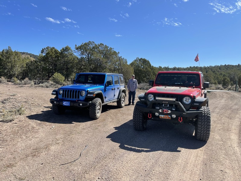
Decided that it needed a winch, so I sourced a Mile Marker 15,000 pound winch and got it installed. Most everything on this rig is 24v, so you can’t just put anything electrical on the rig. To get the winch in place, we had to cut away quite a bit of structural steel under the bumper. Off to R&R Welding to reinforce.
Soon after the winch, I decided it was time for a brush guard to move animals and trees out of the way. Once those were both installed, it was time to wheel this beast.
I aired down to 12PSI and off we went. We discovered quite quickly that this rig is pretty wide for your average non-50” trail.
All in all, once I figured out the BRAKE THROTTLE MODULATION trick (BTM), essentially riding the brake and throttle at the same time, we learned that this thing would walk through any terrain.
]]>We’d run a good section of the southern most Brian Head burn scar (M18, M23, etc) before crossing SR20 at Buckskin area.
As we’ve had no rain for months, trail conditions were unreal dusty, but especially the last turn on the Color Country before we connected to the Paiute.
]]>The following weekend, a few of us attempted to head North toward Circleville. We got about 1 mile to the top (around 9100’) before the snow was just too deep to complete the ride. We backtracked, ran up Horse Valley and attempted to come down from the top. Again, we likely got to within 1 mile of our prior backtrack. Much winching was done by the Highlifter ATV’s..
Great days!
]]>At first glance, and laying on the ground, I thought this was thong underwear (because there were a ton of alcohol bottles nearby too), but NOPE - COVID mask way up here on the trail. COME ON, PEOPLE!!
Garmin tracks below..
While we originally had plans to travel to Australia for 3 weeks, the raging fires and Pandemic quickly put an end to those aspirations.
So, where else to go to celebrate 30 years of marriage? Mesquite, of course!
We reserved a newly built AirBnB house on the outskirts of town (because it had a private hot tub and was huge), packed up our gear into the 2020 Jeep Gladiator and off we went.
The plan was to offroad, gamble, eat well and just generally relax - Mission success on all points.
Up until the last day, the weather was fantastic.. averaging 88-90F, more than sufficient to take the roof off the Jeep and make our runs in the open air (that would later to prove a mistake!)
After a great dinner at the Eureka steakhouse, we relaxed the remainder of the evening. In the morning, the plan was to run South/East toward the North rim of the Grand Canyon, then to the North edge of Lake Meade. Game on!
The routes:
The Trek South / East from Mesquite:
Coming off the final "Elbow Canyon" switchbacks.
Calm before the storm:
GPSr tracks for the Mesquite Area:
We hit dirt and cruised to the Transcontinental Railroad Grade. Our first stop was the ghost town of Kelton. The stretch of road between locomotive Springs and Kelton is chewed up and slow going. I am super thankful it was still frozen when we got there! By the looks of the ruts, there were many less fortunate than we were. Along the way we spotted a bald eagle chilling on a fence post. It was Amazing!
Arriving in Kelton, we circled the vehicles at the Cemetery to stretch our legs and air down tires. We paused for a bit to admire other rigs in the group, get to know one another, and take some pictures. With temps on the rise, we made the call to stay as high as possible. We set sights on Element 11, Utah's local version of Burning Man, and set out on the road slightly less traveled.
]]>https://www.geocaching.com/geocache/GC8FMJH_rattlesnake-by-bruteforce
A couple photos and GPSr tracks for this area:
GPSr Garmin tracks found here:
]]>
Our plan was to awaken Saturday morning, hit the Cafe' at 8am for a great breakfast, then ride up/over Rocky Ford en route to Antimony. What we had failed to realize was that this was the last weekend for the Elk Hunt. Hunters were easily every 100 feet along the trail down into Antimony.
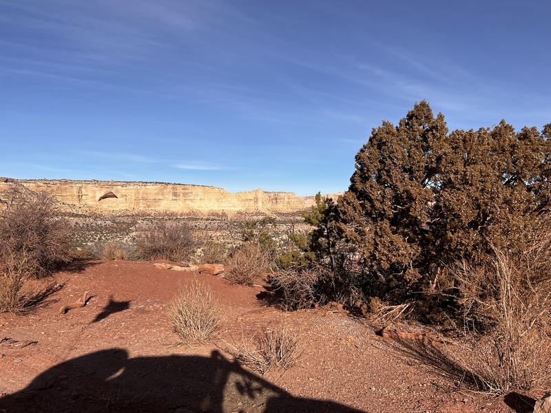
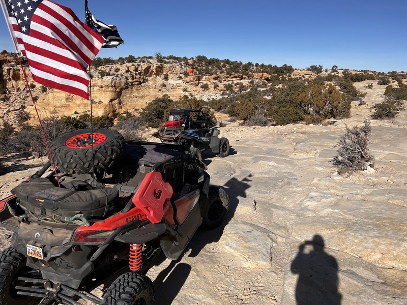
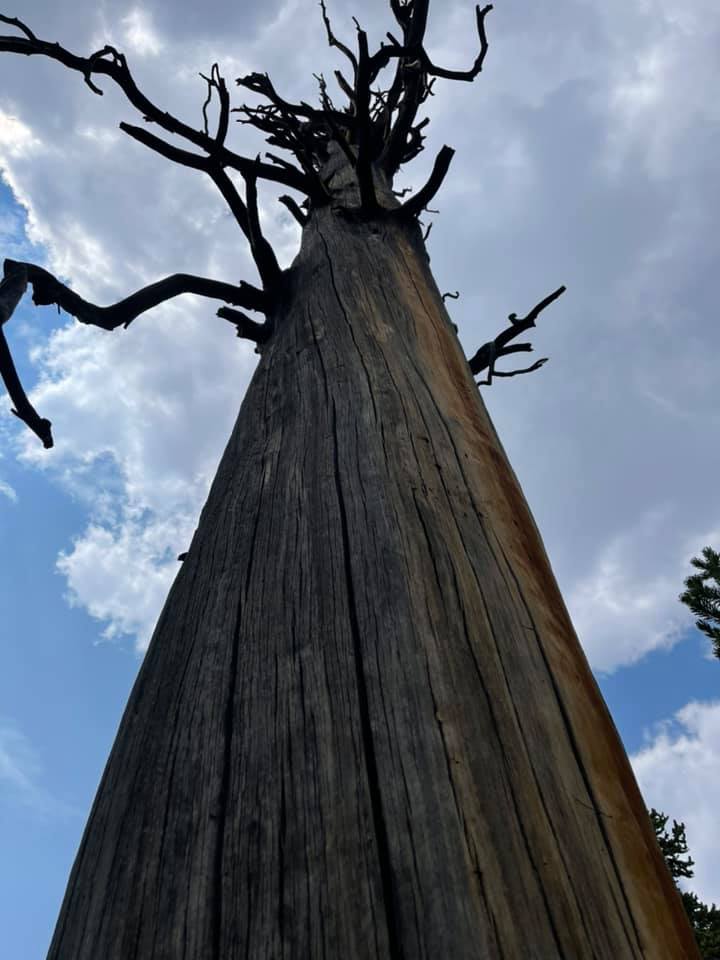
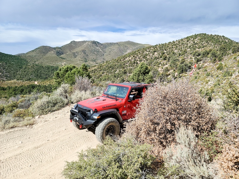
Well, up Rocky Ford we went. That trail has not aged well and had several sections off-camber and ready to fall into the waterfall below.
Though it seemed as if a trailcat went half-way up, it was totally clear that hardly a machine had crossed atop the waterfall and gone further ahead. Once we passed the waterfall, we came upon two trees down across the trail. The first, we could move easily enough, but the second was too large to cut with a hand-saw and too heavy to pull aside with the winch. Up/over it we went.
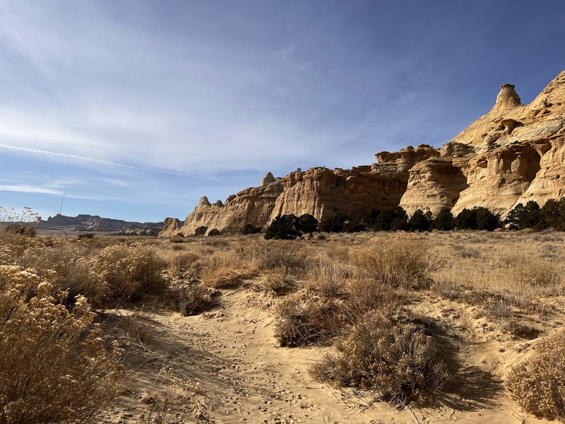
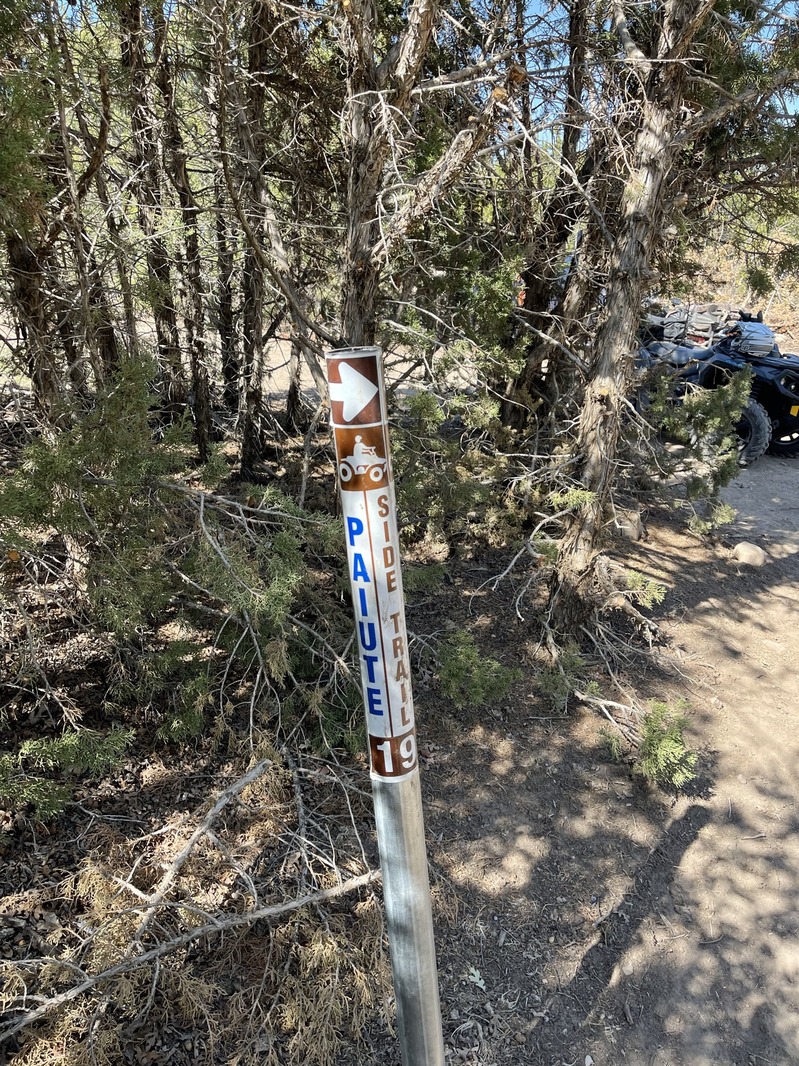
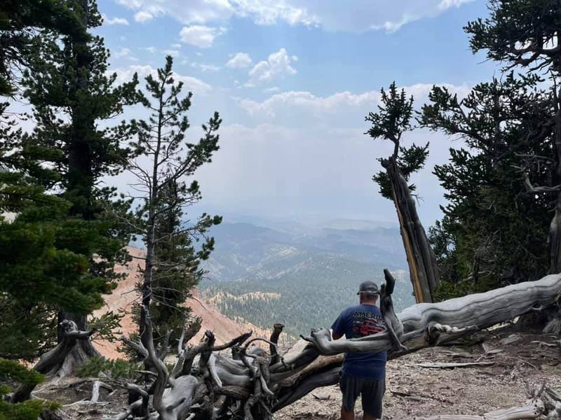
Down into Antimony we went. We enjoyed great burgers/fries at the Merc, then departed back up the mountain via the PST73 switchbacks, following the Paiute 01 all the way toward Barney Lake.
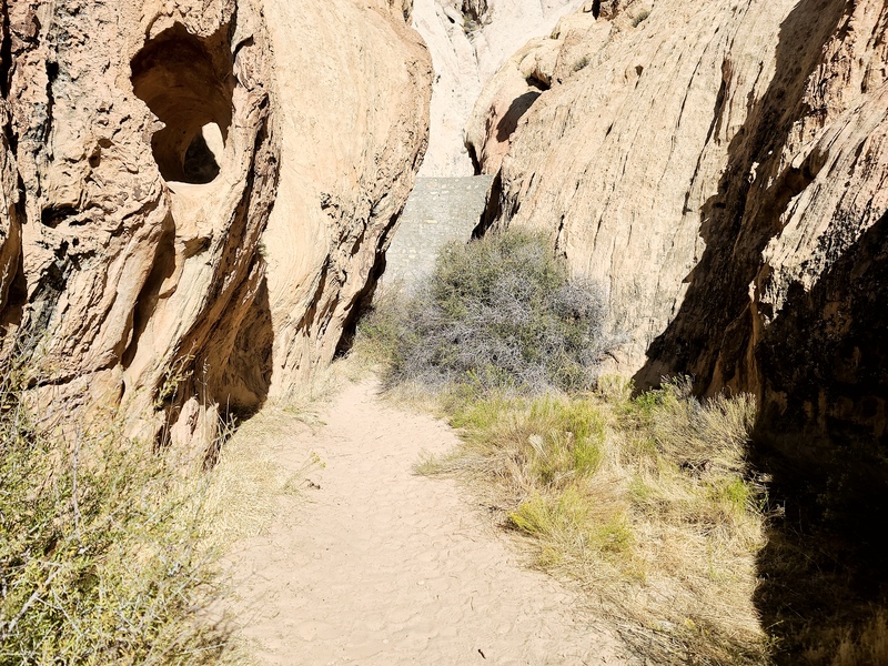
After stopping to rest a bit, we went up the mountain and were surprised to find that the USFS had rerouted a mile or so of the trail at the top. We saw evidence of a hastily blocked former trail:
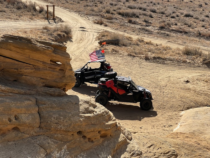
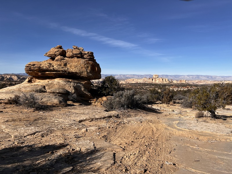
The ride down was uneventful, but it was a great sun-filled day, despite some cool temps.
A few videos from the climb up/down Barney Lake:
Part 1:
Part 2:
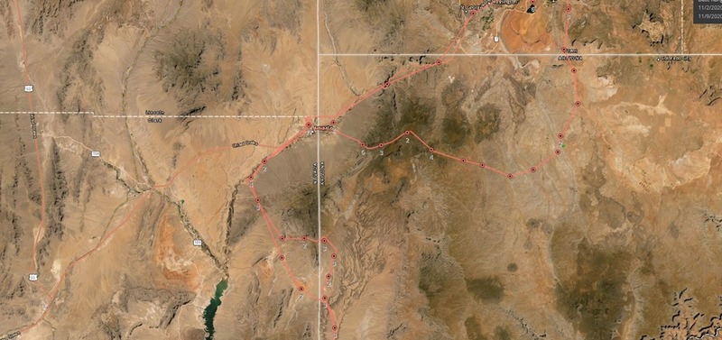
Our full route; about 126 miles total:
Garmin GPSr Tracks of the route: