June 2010 Archives

Via: http://www.cumminsforum.com/forum/6-7l-tech-articles/177185-6-7l-fuel-filter-change-how.html

First fuel change for this diesel. Filter was very tight but after a couple of tries with the socket drive it came loose.


-------------------------------------------------

-------------------------------------------------

-------------------------------------------------

-------------------------------------------------

-------------------------------------------------

I'm curious why the Mexican President feels as though he can bring a lawsuit regarding the Arizona law?

--


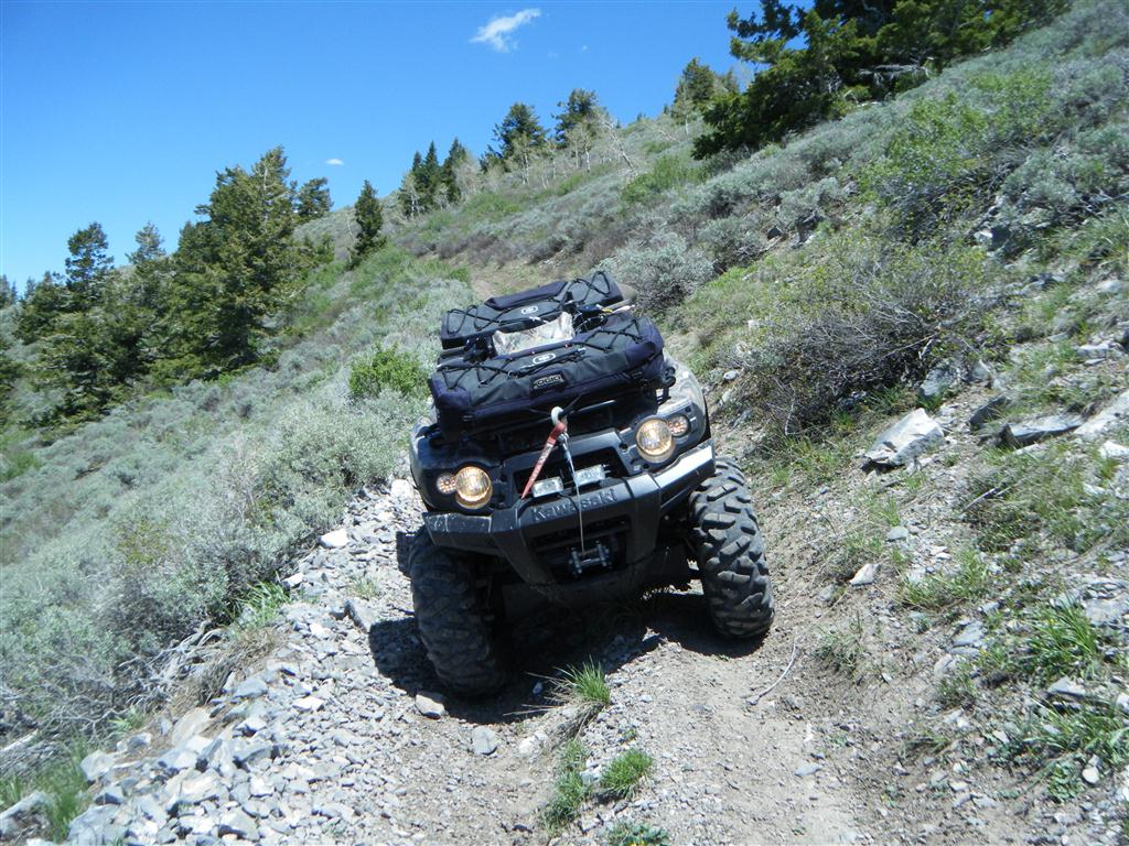
Took the quad out again Saturday to do some more riding in the Mercur/Ophir/Stockton area. My goal was to explore every side trail I could find.  
 
Even though I've been to this location at least a dozen times, I was surprised today when I found some trails that lead to new and interesting places.
 
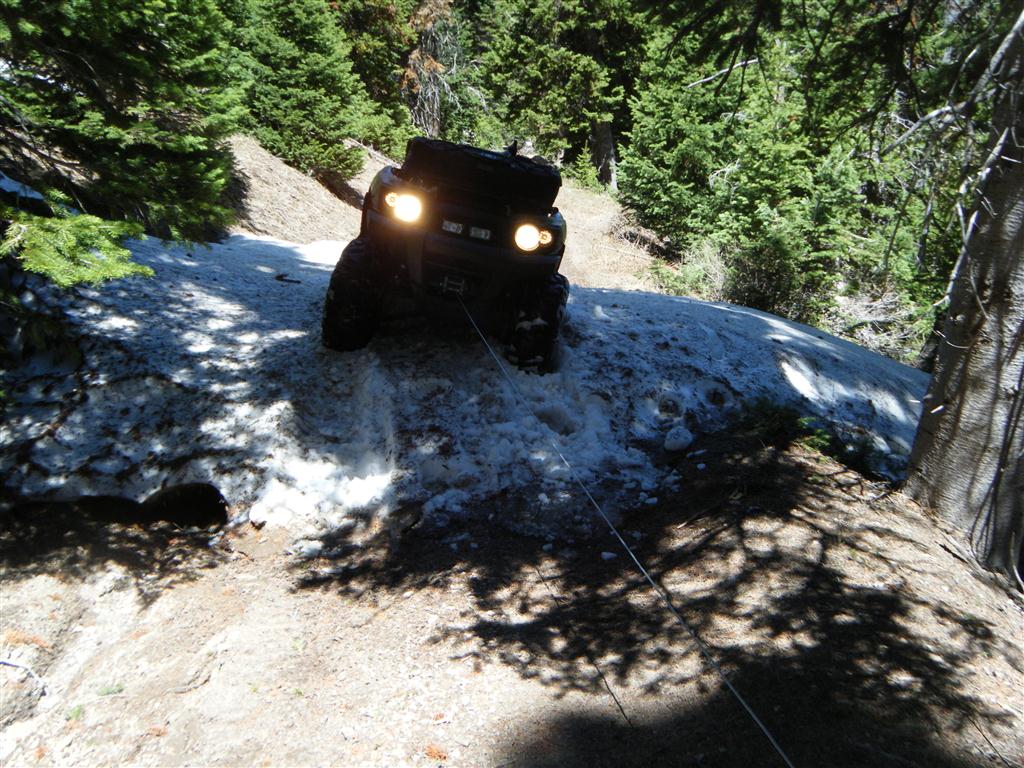
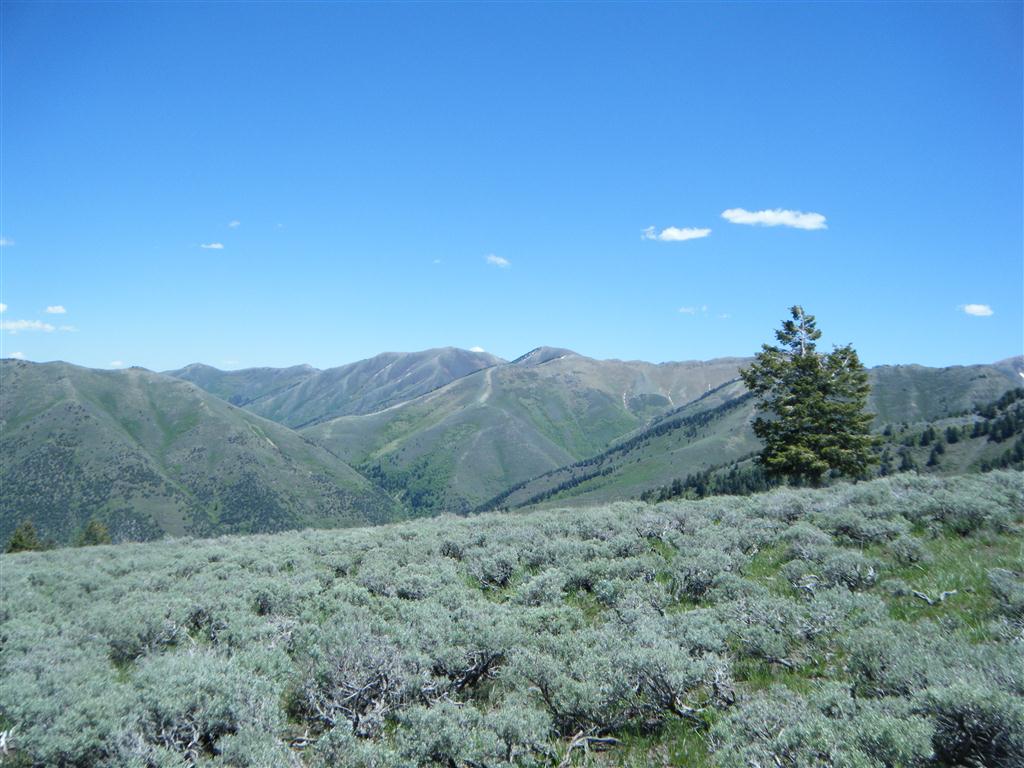
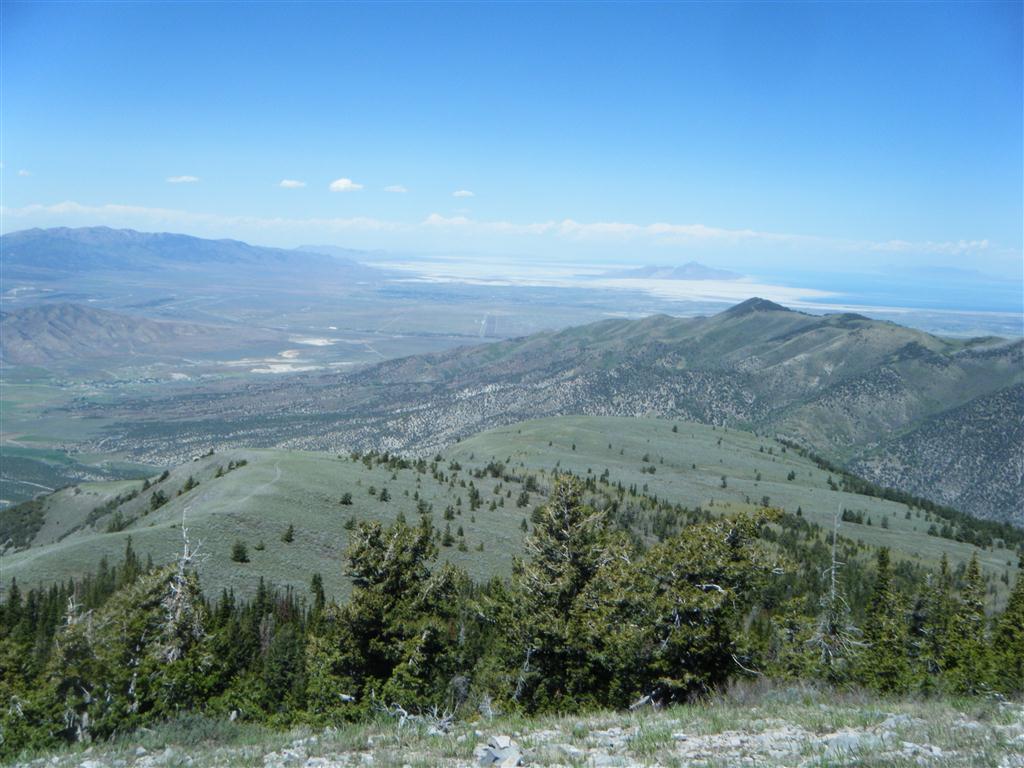
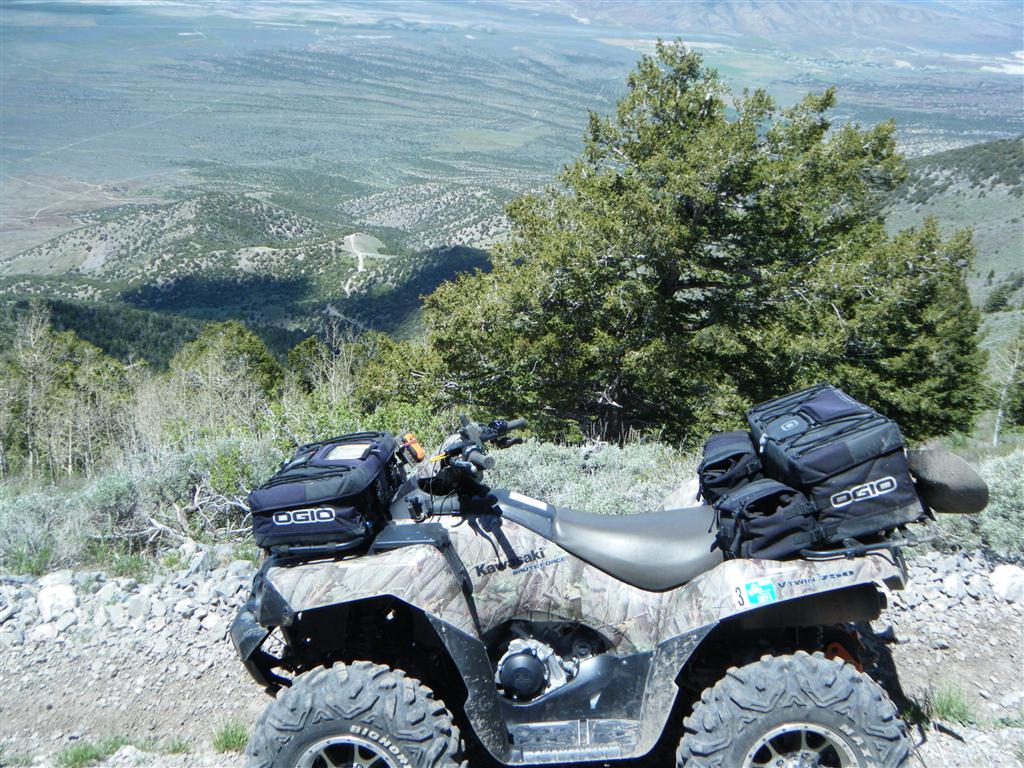
The first new side trail was Above and just North of Jacob City. The trail climbed and climbed until it reached the peak of the mountain over Jacob City (north of). From there, a trail pressed North and would have dumped me into Soldier Canyon. Unfortunately, I had to turn around as a huge herd of bulls (horns and all) were blocking the trail, and I was in no mood to be gored by angry bulls (they were at 9800' elevation and seemed wild).
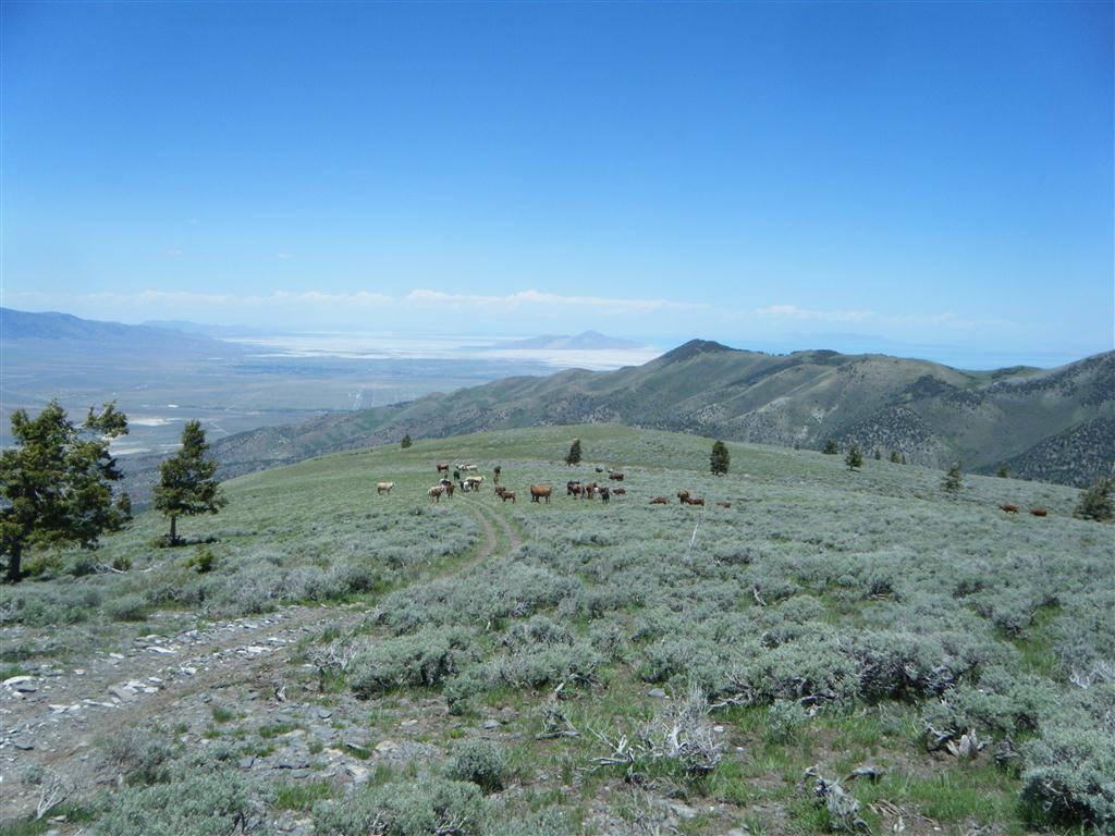


The next was N/E of Jacob City and in the neighborhood of N 40 24.034 W 112 14.720 . From this location, it would appear that I could drop all the way down to the far end of Ophir Canyon. Again, I had to turn around as a large herd of cows was blocking the trail and they refused to move.
 
While almost to Soldier Canyon, I ran into several members of the Northern Utah ATV Club (Gary & Co.). Thanks for stopping by, guys!
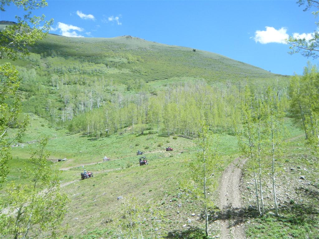


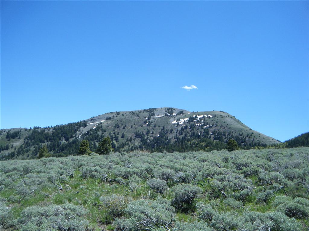
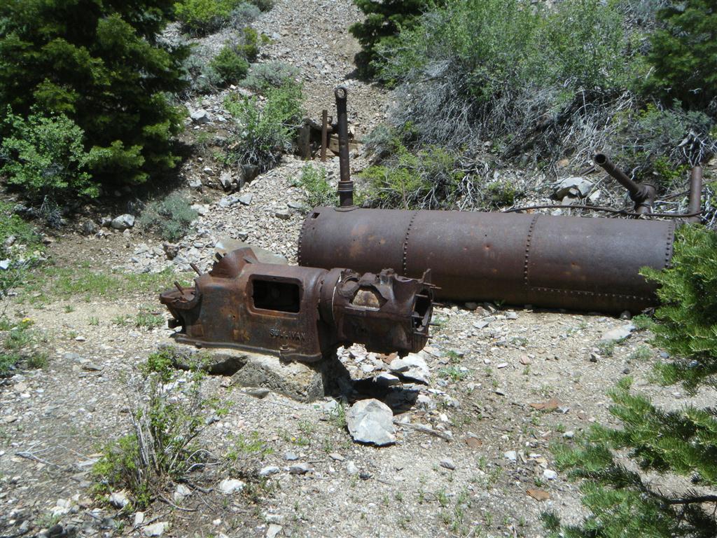
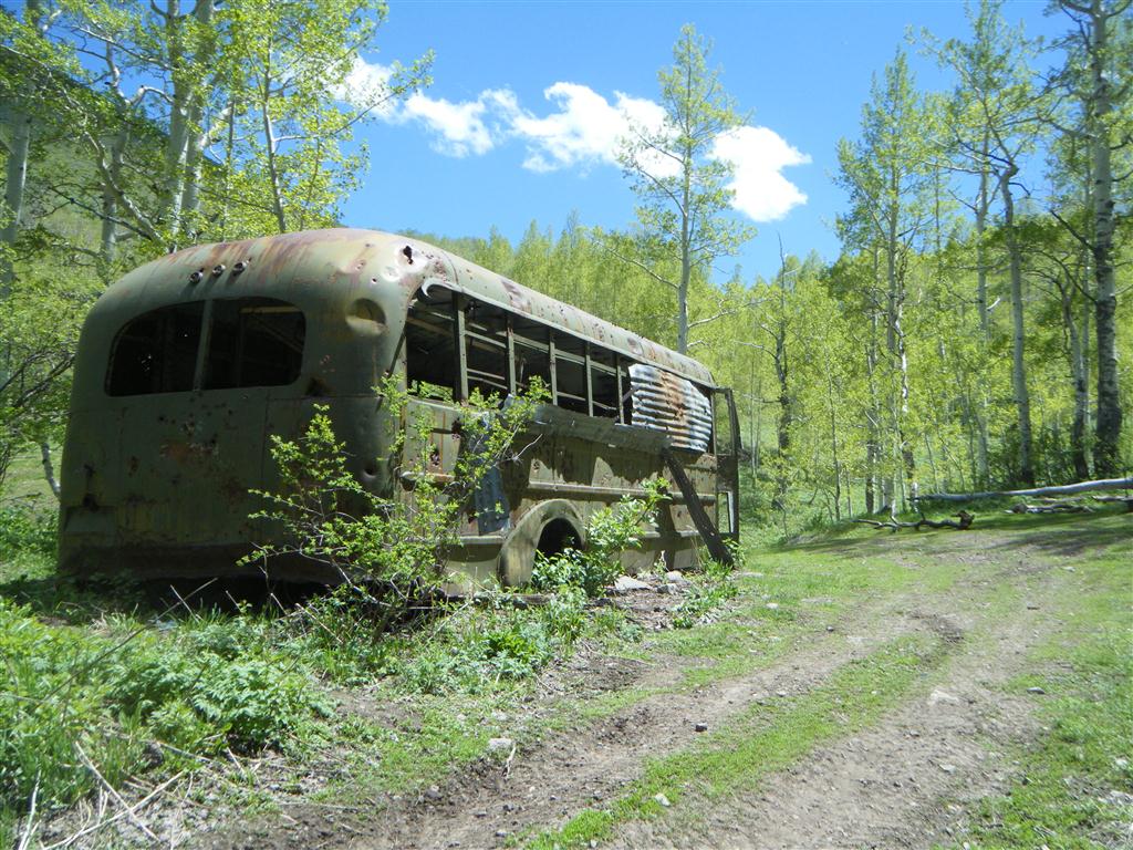
A few photos from my high elevation riding today:
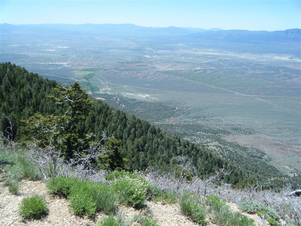


There are several ways to get up there. One is along Ophir Canyon (paved road) at about: N 40 23 102 W 112 14.070. Another, which makes for a great loop is around: N 40° 20.355 W 112° 17.335 and then you could also come in from Stockton around: N 40 25.300 W 112 19.255.
 
All staging locations are very easy. It's not until you deviate from the marked trails that some of the riding gets a bit more aggressive.  
 
In fact, from the Stockton location, you could drive a regular truck most of the way up before the trail narrows to just ATV width. 


Tent, food and at least an extra 5gal. fuel required. We will cross two mountain ranges, hit elevations in excess of 12,000', encounter all manner of wildlife and have an awesome time. Who's coming along? You will need an ATV of 50" or less width.


Fillmore to Marysvale (or further).


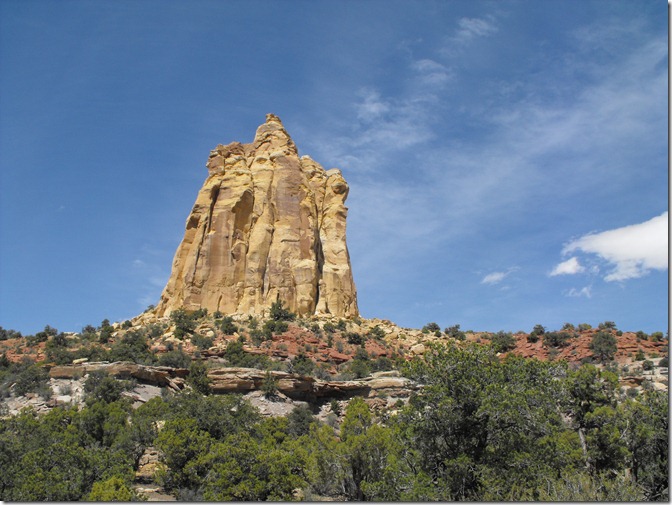
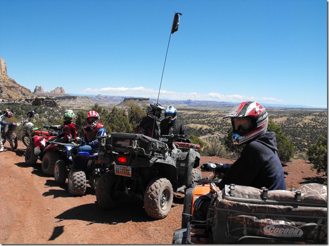
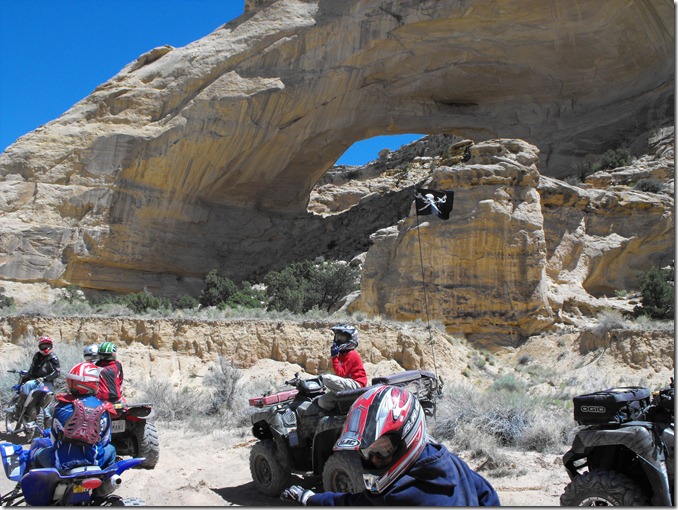
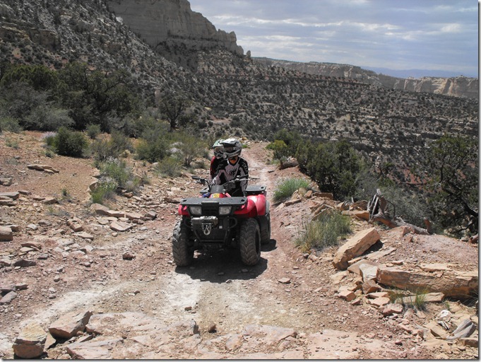
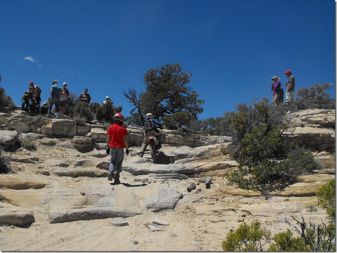
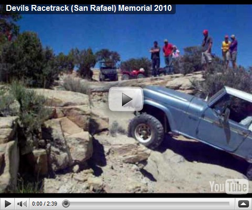
Over Memorial weekend, we made the 5 hour journey South-East (30 miles from the Colorado border), just off I-70 at exit 131. Our goal was to enjoy a new section of the San Rafael Swell (the Swell) and camp along the North side, instead of our usual location near Temple Mountain and Goblin Valley. The North side is chock full of great off roading adventures, to include :The Devils Racetrack, Buckhorn wash/draw, Head of Sinbad and many others. The most enjoyable and challenging area of riding was easily the Devil's Racetrack. Although I knew about this location, we didn't plan on riding it until we stumbled upon the trailhead. With us were my 15 year old son (Alex), my 12 year old son (Nick), my nephews (Zach, Skyler), my neice (Megan) and my brother-in-law and his friend Jeff. I decided to ride up for the first 3 miles or so to determine if the kids could make it. There were a few rugged stair climbs and slick rock sections, but after that, it seemed to level out. I turned around and indicated that we could probably get the entire group up. What a mistake that was... A few photos from the trip:

Camp


DSCF0210

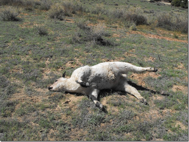
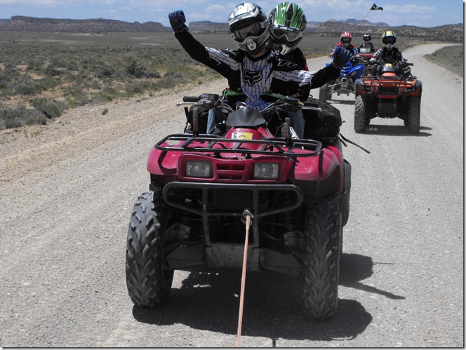
This guy was stinking up the area and completely blocking the trail. I had to winch him off the trail.

Underneath him were frogs, apparently eating away at the underside of this sheep. Carnivorous frogs?

DSCF0213

Our first planned ride and Zach’s machine blows out the CVT belt less than 2 miles from camp!

DSCF0215

The “Head of Sinbad”

DSCF0216

Rest break along Coal Wash:

DSCF0239

One of the many natural arches we encountered:

DSCF0240

Zach and GF climbing the rock pile.

DSCF0226

Spectators at the top of the Devils Racetrack.

DSCF0247

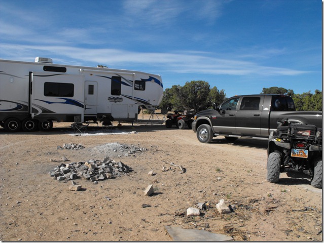
Too large a 5th wheel trailer?

| No Comments

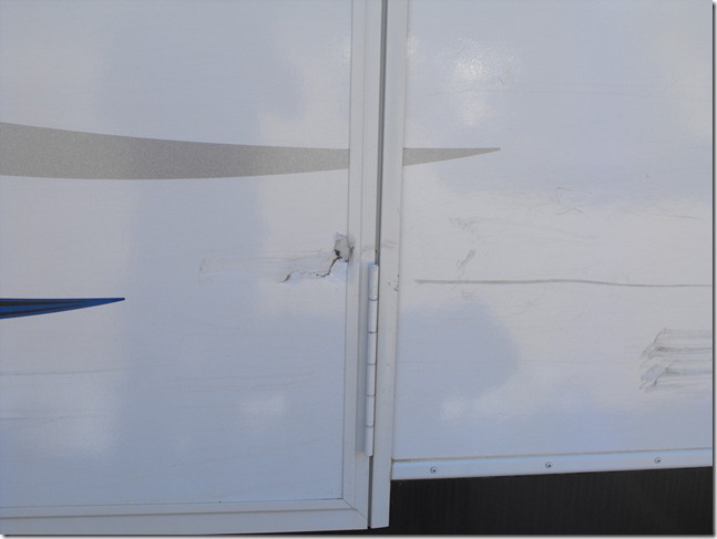
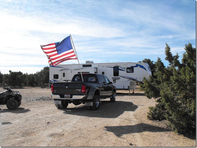
After having taken our new rig out three times since May, I’m now thinking we may have bit off more than we can chew. On my first real outing, I went out alone to hold a campsite for two days while friends and family arrived. Since I was alone, I had to navigate the RW395 by myself. Unfortunately, a tree jumped out and grabbed the entire right side of the rig, punching a small hole in our front door. After getting back home and backing this beast into our driveway (RV spot), I pulled forward just a little and somehow the rig grabbed our gate and got wedged. The only solution was to cut that entire side of the gate down.

Camp (Wickiup area, San Rafael Swell)

DSCF0209

Ouch!

DSCF0207


 Where is James King?


Language Translation


Other Links:


 Main
 Public Trail Maps
 Archives
 CMS
 About/Contact
 Twitter @BruteForce
 Facebook
 LinkedIn
 Geocaching
 View DGP stats


My Audio & Video:


 Flickr
 YouTube
 Pandora


Elsewhere:


 ATV Utah
 Our ATV Obsession
 Bogley Outdoor Community
 ATV Escape
 Trish's Cake Shop
 Dennis Udink's Site
 Army Ranger
 Alex's World
 Grizzly Guy
 Adventure World TV
 WeatherCam: UofU
 Delta Bravo Sierra Comics  
 PowerPoint Ranger Comics
 Reversaroller ATV Winch

March 2022

Sun Mon Tue Wed Thu Fri Sat
    1 2 3 4 5
6 7 8 9 10 11 12
13 14 15 16 17 18 19
20 21 22 23 24 25 26
27 28 29 30 31    

Recent Photos

About this Archive

This page is an archive of entries from June 2010 listed from newest to oldest.

May 2010 is the previous archive.

July 2010 is the next archive.

Find recent content on the main index or look in the archives to find all content.