Recently in Five Mile Pass Category

On 12 April, I decided to stage at the traihead (North side) of Israel Canyon. From there, I rode straight to the top of Lake Mountain, scouting all the trails in/around the top to determine if I could find a route down toward Five Mile Pass.

I found a canyon trail/road that dropped me down toward Soldier Canyon and proceeded due South, just using basic orienteering to determine the correct route south toward Eureka (where I'd stop for fuel & lunch).

GPSr tracks for the route and the 5Mile Pass area are found here:  

A view from the top of Lake Mountain:

SAM_0439.JPG
SAM_0440.JPG
From the valley floor, I found a route that kept me on a ridge line paralleling the main US73/Redwood Road South. Eventually, I made my way into Little Moab, dropping right into the area where all the offroaders were rock crawling.

From Little Moab, I proceeded East until I found my route South along the east side of the Tintic Mountains, finally dropping into Eureka from the East side.

Lunch at the 3 Prospectors was great, as usual - followed by fuel at the gas station adjacent to the cafe.

From there, I continued South, up and over the mountain and toward Silver City. Surprisingly, the trail was mostly dry - with small pockets of snow off to the side where there's plenty of shade.

My Spot tracks:

LakeMountain.jpg
The return route also kept me to the East of the Tintic Mountains. I was determined to climb back up Lake Mountain from the South - that may have been a mistake. The south end of Lake Mountain is steep and strewn with rocks. At one point, I hit a rock so hard on the underside, I was positive I had damaged the machine.

YouTube video of the ride back up the South side of Lake Mountain.


Enhanced by Zemanta

5Mile-Skyline-Ophir-Stockton.jpgOn Saturday, my friend Russ and I decided to pre-ride a route I was contemplating taking my team on. Somewhere along the route, we decided to go way off plan and hit every rugged section we could find.

We staged at the far NE corner of 5Mile pass, then proceeded north to the Skyline drive, then dropped down into Sunshine Canyon before heading toward the MercOphir (yes, I named it that) trail to the top and South of Ophir Canyon. From there, we dropped into Ophir Canyon and rode East to see if the fence was still intact. Sadly, the fence is still there, so we had to run the pavement back toward Hwy73 before heading toward Jacob City. From the top of Jacob City, we continued North down into Soldier Canyon, via the bus and then into Stockton for fuel/drinks.

A few photos from the South side and top of MercOphir, overlooking the Mercur mine:

20130601_113202.jpg


20130601_113610.jpg20130601_113252.jpg
Running 95 miles in the 5Mile Pass area was quite an undertaking, but it was a blast - especially the last few wicked climbs. As Russ stated so plainly: I'll have to clean out my shorts later"..

After returning to 5Mile Pass, we rode across Hwy73 to hit the challenging sections on the South side. The stair steps, the Boulderdash (yes, I named this too) and a few other good climbs.

20130601_153729.jpg


20130601_153836.jpg

3+ Weeks on the trails

| No Comments

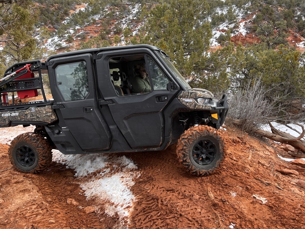
For the entire 2nd half of September and first half of October, I was fortunate enough to get in some camping, fishing, hiking and ATV'ing.


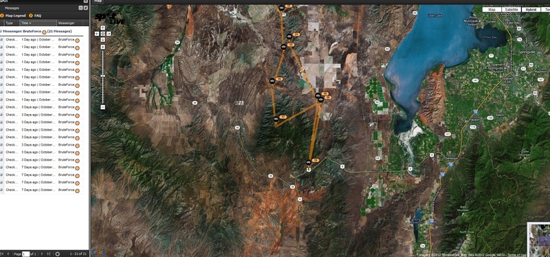
GPSr tracks found here:

5Mile-to-Eureka-via-BlackRock.gdb

Koosharem-to-Richfield.gdb

Kanosh-to-Marysvale.gdb

05 Oct 2012-Jacob City-Soldier Creek Ride.gdb

PaiuteTrail_BarneyLakeTrackLog.gpx


Koosharem-Marysvale-Riding


I spent the first 7 days between Koosharem, Utah and Marysvale, Utah. My goal was to ride as many "new-to-me" trails as possible while in those areas, with an emphasis on filming and riding the much-touted Barney Lake trail.


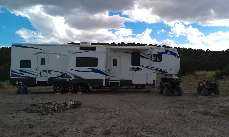
The first four days were spent at the Koosharem RV park; a small park that can host approximately 10 RV's. I was quite surprised that I was able to get my massive rolling Marriot into their park.


Day 1, I found myself wanting to go fishing at Otter Creek reservoir. Sadly, the lake was at 50% of its normal water capacity, and I was able to drive my truck across a sand bar that placed me about where the middle of the lake used to be.


DSCF8068DSCF8069DSCF8070DSCF8071DSCF8072


With the water as low as it was, I was unsuccessful, but I did still manage to net about a dozen crayfish and boiled them up for dinner that evening (along with a great steak!).


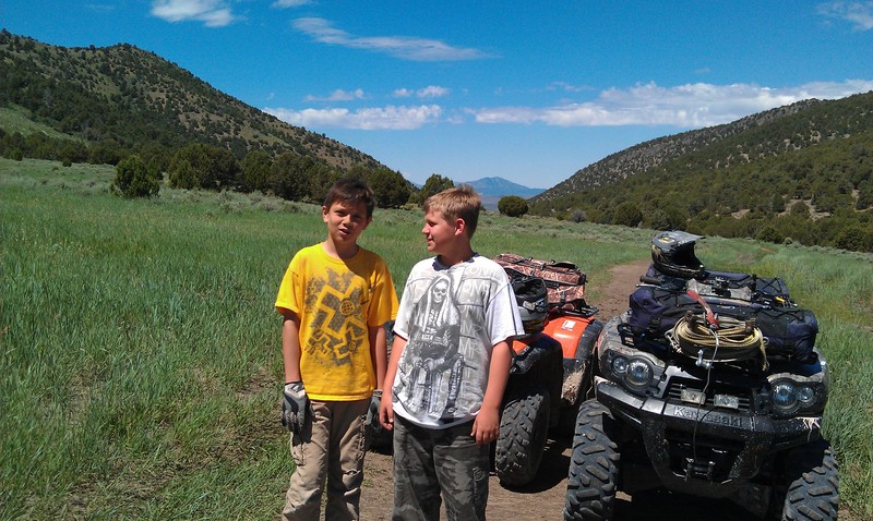
Day 2, and my friend Gary Elias (and wife) arrived to join me. After getting his camp setup, we thought we'd make the ~80 mile round trip to Otter Creek and back. Unfortunately, Gary's diabetes were acting up and we changed course, instead heading toward Monroe.


DSCN0341DSCN0342DSCN0343DSCN0344DSCN0345DSCN0346DSCN0347DSCN0348DSCN0349DSCN0350DSCN0351DSCN0352DSCN0353DSCN0354DSCN0355


While leaving Monroe and heading back toward the trails, we saw a couple towing the most interesting camper (with their ATV) that I've ever seen.


DSCN0356DSCN0357


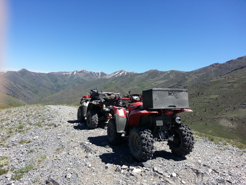
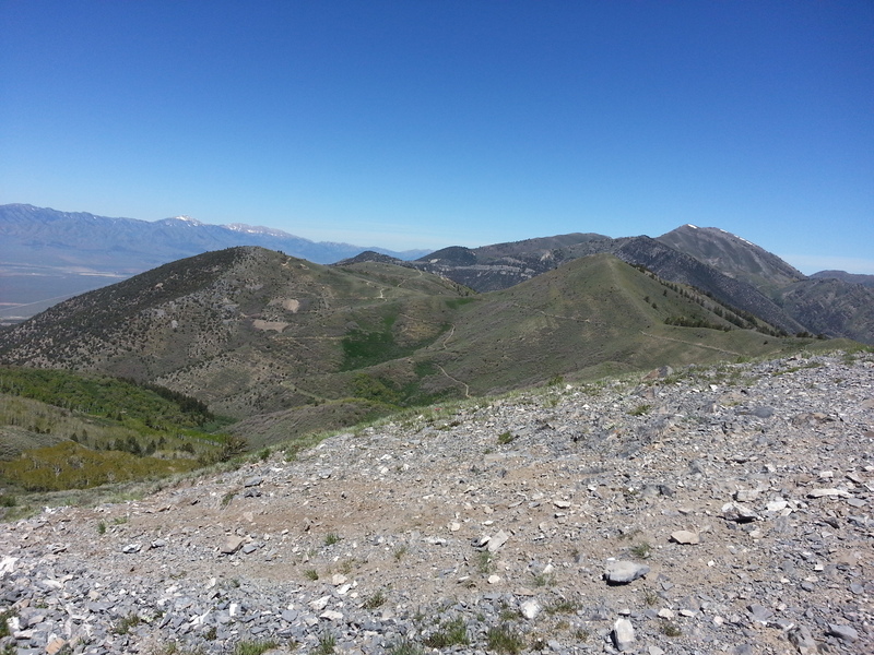
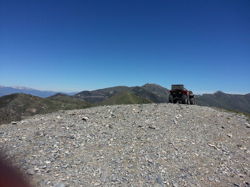
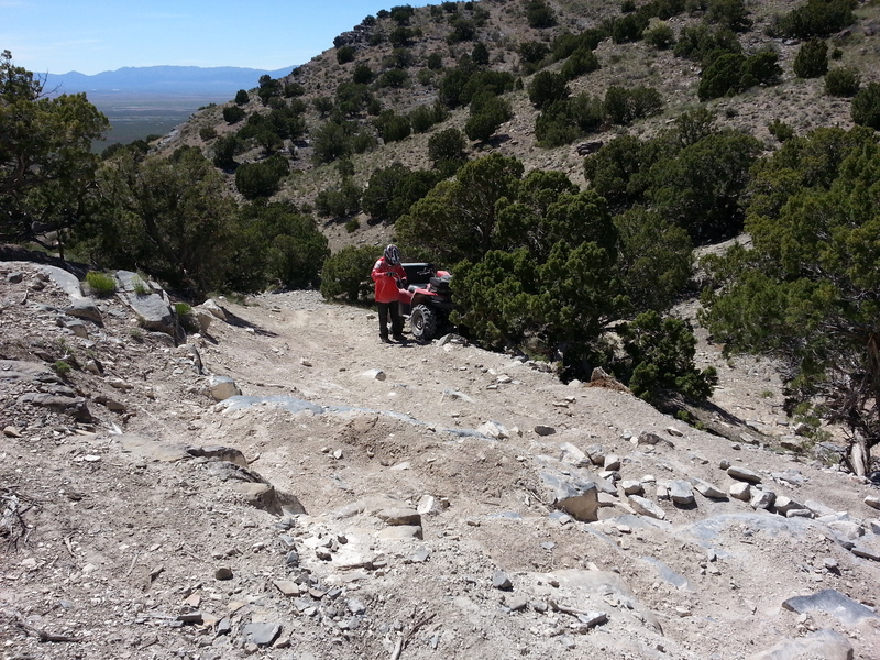
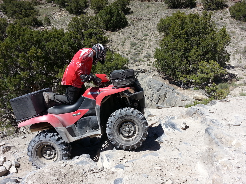
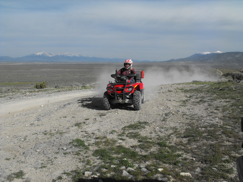
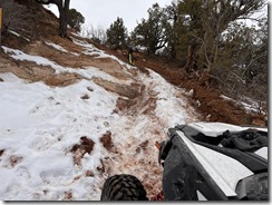
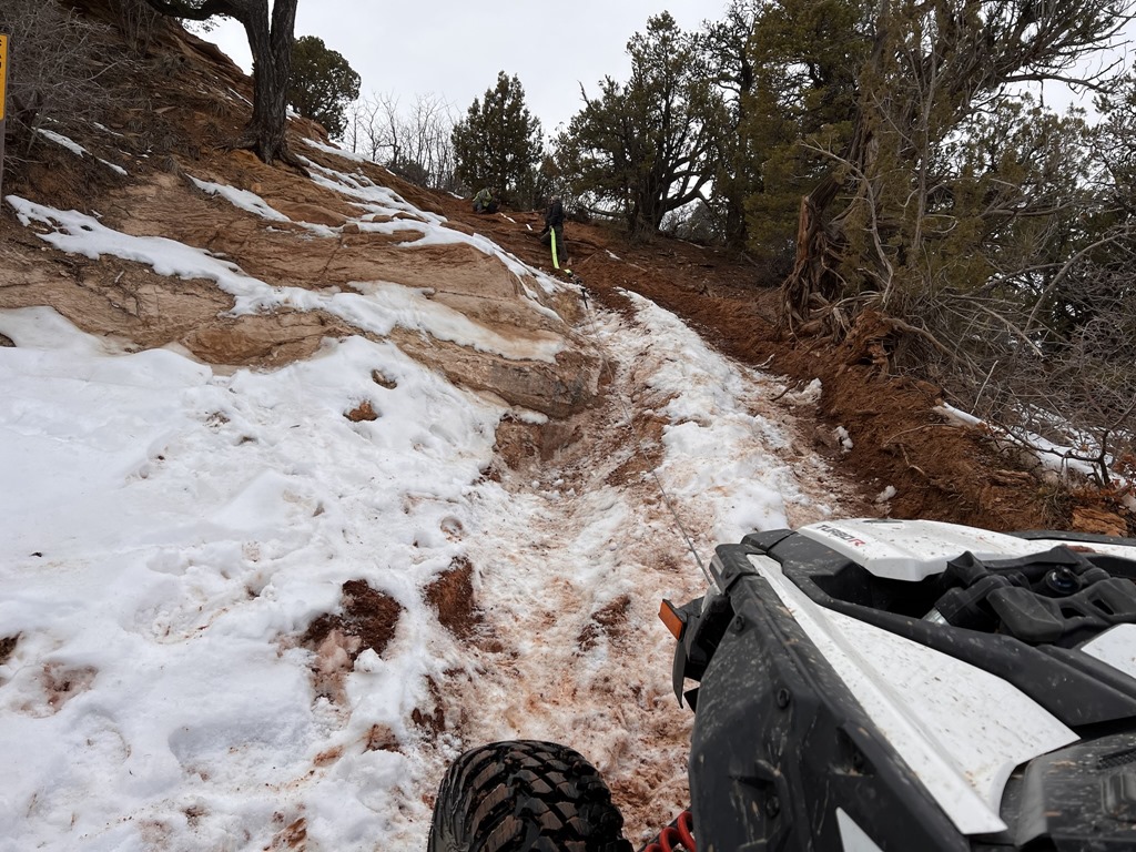
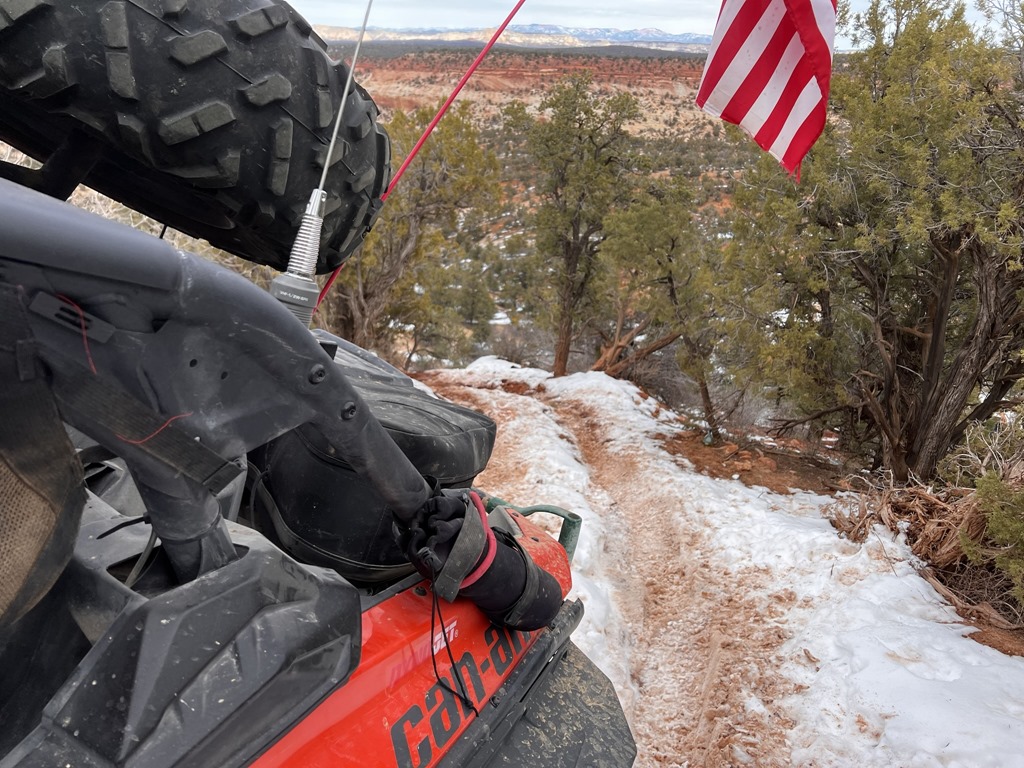
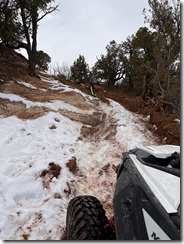
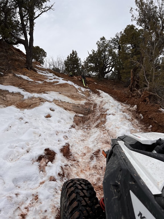
Day 3, we decided that we'd make a run at the Barney Lake trail. This trail was known for being brutally steep, rock covered and for advanced riders; it really didn't seem to be any of those (to me), but did have a few decent technical sections.


Barney Lake trail


DSCN0365DSCN0366DSCN0367DSCN0368DSCN0369DSCN0370DSCN0371DSCN0372DSCN0373DSCN0374DSCN0375DSCN0376DSCN0377DSCN0378DSCN0379DSCN0380DSCN0381DSCN0382DSCN0383

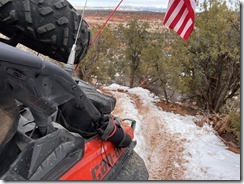
My favorite trail though had to be the PST65 coming off Monroe Mountain and into the town of Monroe. This trail had tight switchbacks, some interesting terrain and a descent of over 7000' in elevation.


PST65


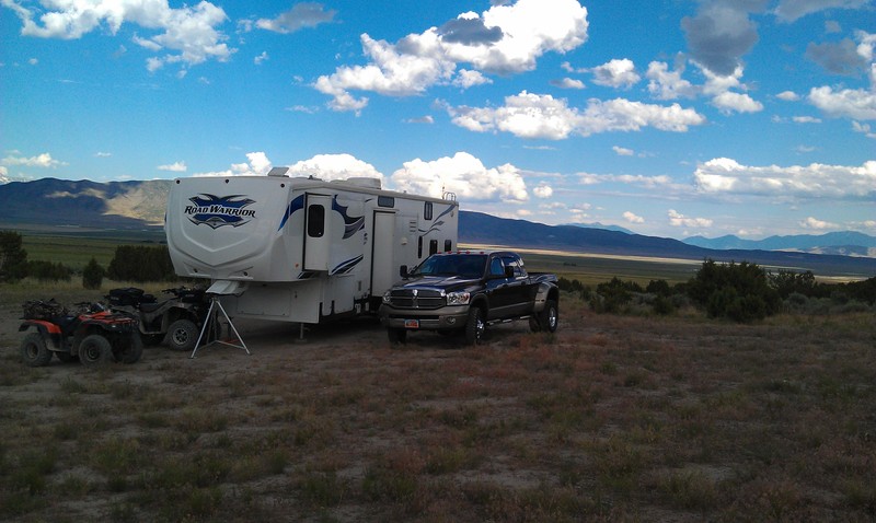
On Day 4, I said my goodbyes to Gary and his wife and departed for Marysvale. I had already phoned ahead and reserved a spot at Lizzie -n- Charlies RV park (easily my favorite RV park in central Utah).


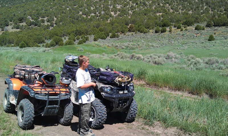
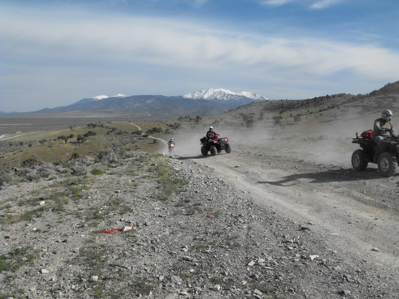
From this location, I rode the Deer Creek 74 trail, the 606, Barney Lake (yet again) and the PST 65 (yet again).


PST606


After ~7 days, it was time to return home. Fortunately, for me, another friend contacted me and asked if I wanted to join him in riding from Kanosh to Marysvale (as a day trip). This ride is easily my annual favorite, so I gladly accepted and we departed for the Adelaide campground.


Kanosh-to-Marysvale


The PST97 "Al Gay" trail and Paiute 01 were our primary destination trails, and neither disappointed.


PST97


Sam Stowe


What a great time on the Paiute in September!


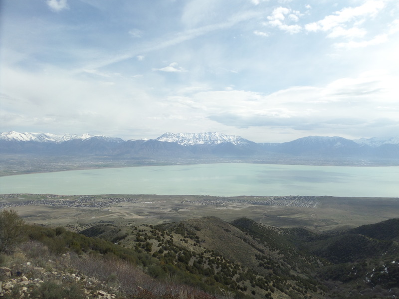
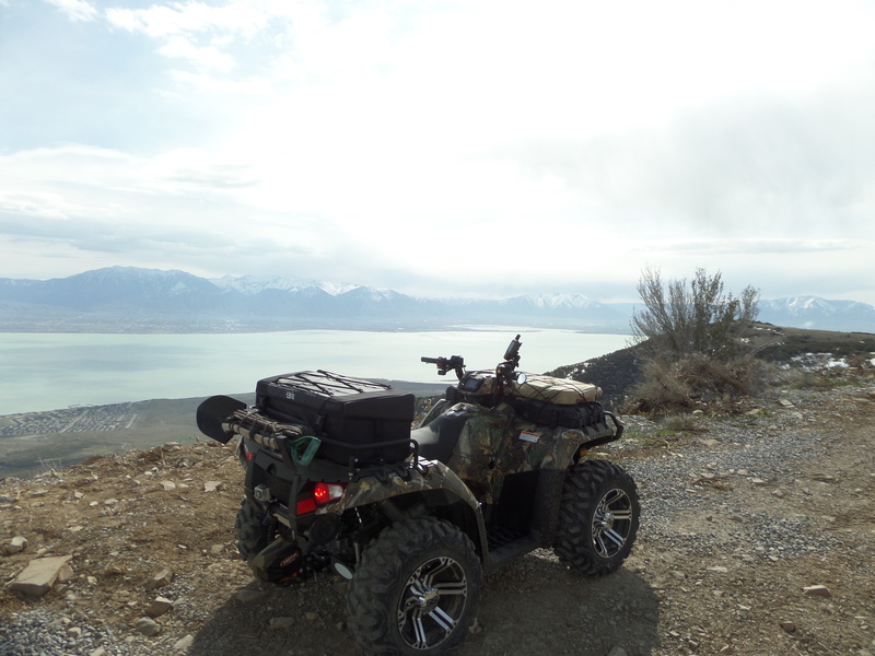
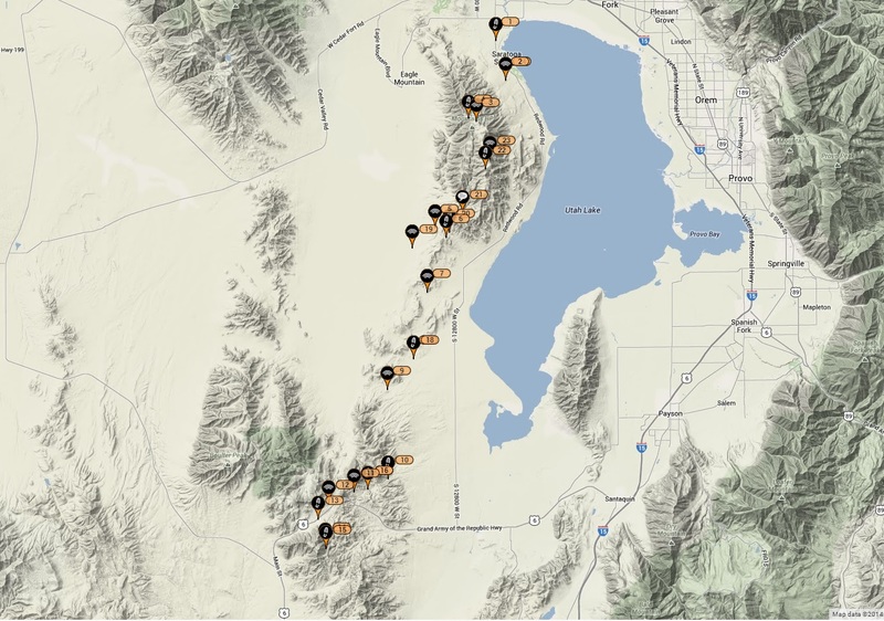
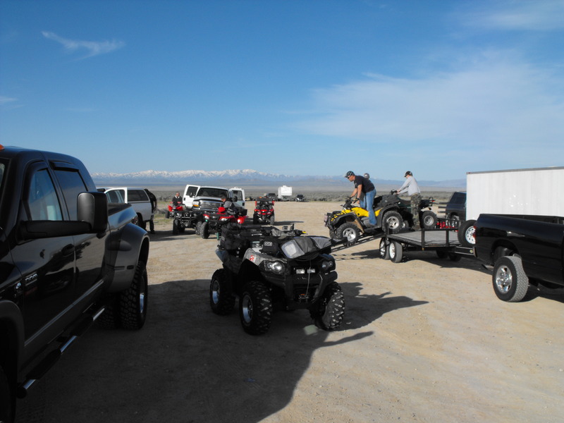
So, I'm back home, interviewing for new jobs and trying to find additional trails to ride. Again, the phone rings and my brother-in-law is wondering if I'd take him and his wife riding from Five Mile Pass to Eureka. Sure, I reply - so we head off to the Five Mile Pass area and enjoy a day of riding. Sadly, somewhere en route to / from Eureka, I managed to lose the keys to my truck. Fortunately, I have an awesome wife and she agreed to drive the 45 minutes to drop off my spare (and only remaining) set of keys.


The Snake Charmer trail @ Five Mile Pass


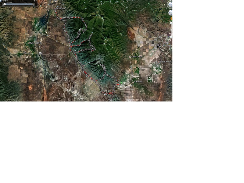
A week or so passes and I again get invited to ride the Jacob City Loop (Ophir, Utah area) with a new friend. We stage on Mercur Canyon road and depart for my secret trail on the south side of Ophir Canyon.


Jacob City Loop


Now, its almost mid-October and again I meet up with another new friend and we ride Little Moab to Eureka. We ride through (from East to West) Black Rock Canyon, then through Chilius Pass and into Eureka for lunch at the HWY6 Deli.


DSCN0417DSCN0418DSCN0419DSCN0420


The best section of trail riding in this area is the Dry Lake, Mill Canyon trail. This trail is easily the most technical ride in the entire area.


Mill Canyon


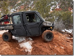
So, its now the 12th of October and I'm prepping for 10 days in the San Rafael Swell, White Sands and Moab. That trip report will be posted later.

Enhanced by Zemanta

Yet another 5Mile to Eureka run..

| No Comments

5Mile-to-Eureka-via-BlackRock.jpg

Yesterday (7 Oct 2012), I was asked to ride with my brother-in-law and his wife, and lead them on a run from 5Mile Pass to Eureka, Utah.

We agreed to meet at 10am at the far South/West staging area. Morning temperatures were easily 38F with a light breeze. To say it was brisk would be an understatement.

Our route was fairly easy since my sister-in-law isn't an experienced rider. Normally, I'd hit some of the tough climbs just south of 5Mile. For this route, we simply paralleled the mountains until with hit Black Rock Canyon, cut through the canyon, rode a bit of Allen Ranch road, then hit Chilius Pass where we came into Eureka from the West side of town.

Garmin track for yesterday's run can be found here:  5Mile-to-Eureka-via-BlackRock.gdb

A video of the ride through Black Rock Canyon:


Chilius Pass (Tintic Mountains)

| No Comments

Having just returned from a short weekend at Daniels Summit, I came back home and immediately prepped for a quick ride in the Tintic Mountains. We staged in the Little Moab area and made our first attempt at Eureka via Chilius Pass.


We got to within .25 miles of the trail top (just before the antenna cluster) before getting stuck in deep snow. Several times, I attempted to tow my son on his Honda Rancher while winching to a tree. No joy.

DSCN0058DSCN0059


After not having much success, we decided to just take Homansville Road into Eureka. Sadly, the Miner Burger place was closed (due to being sold to yet another new owner). We fueled up at the Sinclair then decided to attack Chilius Pass from the opposite direction. SUCCESS!

DSCN0060DSCN0061

Enhanced by Zemanta
Originally, I was intending to volunteer for USFS trail work in the Marysvale/Richfield area over the 9th of July weekend. Instead, a good friend of mine was in need of companionship, so I offered to meet him at 5 Mile Pass for a ride to Eureka (and back).

My youngest (Nick) and his friend (Kevin) thought it would be fun to make a camping trip out of it. That evening (Friday), we loaded the 5th wheel and prepped to head out first thing Saturday morning. I have NEVER camped at 5 Mile Pass in July. Normally, its just too hot and uncomfortable. This weekend, it was supposed to stay in the low-to-mid 80's.

After a few stops for necessities (Starbucks, Walmart, etc) we departed for 5 Mile Pass. We decided to stage on the extreme North/East corner. It took some work, but we got the trailer leveled and situated in less than 45 minutes.

IMAG0140.jpg


Thumbnail image for IMAG0142.jpgBill arrived and we took off to Eureka. Unfortunately, 30 minutes into the ride, Bill had a
change of mind and went back home. The boys and I continued our ~50 mile trek to Eureka.

Although temperatures were "supposed" to be mild, it was HOT out in the west desert. The hiking/cliff climbing at 3pm didn't help much with chafing, sweating or general discomfort, but we endured and made it to the top of our favorite cliff-climb.

IMAG0137.jpg


IMAG0139.jpgBurgers in Eureka are phenomenal. If you ever have the chance to drive through, do stop at the East side of town and try a Miner-Burger.

We arrived back at camp just in time for the storm to hit. Within one hour, the sky went from cloudless to some awesome formations.

IMAG0143.jpg


Enhanced by Zemanta

5 Mile to Eureka

| No Comments

In early May 2011, I led a group of ~17 ATV's approximately 85 miles round trip from 5 Mile Pass to Eureka and back. My friend Bill recorded much of the ride and posted it online:


5 Mile Pass to Eureka 1 from Bill Zumwalt on Vimeo.

5 Mile Pass to Eureka 2 from Bill Zumwalt on Vimeo.

5Mile Pass to Eureka

| No Comments
I've been asked many times to provide a Garmin track for my route from 5Mile Pass to Eureka. Two weeks ago, I took a group of 17 ATV & Motorcyclists on this route and decided to capture a track route. Unfortunately, I powered the GPSr off before saving the entire loop, but got a partial.

A few photos from the event.

DSCF2122.JPG

DSCF2123.JPG

DSCF2129.JPG


What a great day it was. Even though we lost half our group on the West side of the Tintics (just after leaving Black Rock Canyon).

Partial GPSr tracks from the ride:5Mile-to-Eureka.gdb
Enhanced by Zemanta


Tintic Mountains: 15 Sept 2010

| No Comments
I took this Wednesday off to see the changing leaves and hit Mill Canyon before its inaccessible due to snow. The leaves are bright red and the trail was just as rugged as ever. It was clear that very few ATV's have been up the canyon lately. Some video work I did while riding:

Eureka to 5Mile at 55mph! from James King on Vimeo.

Mill Canyon from James King on Vimeo.


 Where is James King?


Language Translation


Other Links:


 Main
 Public Trail Maps
 Archives
 CMS
 About/Contact
 Twitter @BruteForce
 Facebook
 LinkedIn
 Geocaching
 View DGP stats


My Audio & Video:


 Flickr
 YouTube
 Pandora


Elsewhere:


 ATV Utah
 Our ATV Obsession
 Bogley Outdoor Community
 ATV Escape
 Trish's Cake Shop
 Dennis Udink's Site
 Army Ranger
 Alex's World
 Grizzly Guy
 Adventure World TV
 WeatherCam: UofU
 Delta Bravo Sierra Comics  
 PowerPoint Ranger Comics
 Reversaroller ATV Winch

March 2022

Sun Mon Tue Wed Thu Fri Sat
    1 2 3 4 5
6 7 8 9 10 11 12
13 14 15 16 17 18 19
20 21 22 23 24 25 26
27 28 29 30 31    

Recent Photos

About this Archive

This page is an archive of recent entries in the Five Mile Pass category.

Events is the previous category.

Maintenance is the next category.

Find recent content on the main index or look in the archives to find all content.