Recently in Trip Reports Category

2022 Christmas fun in the snow

| No Comments

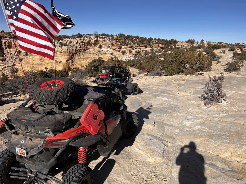
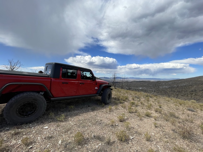
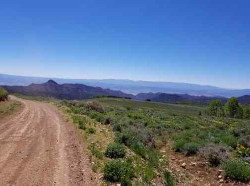
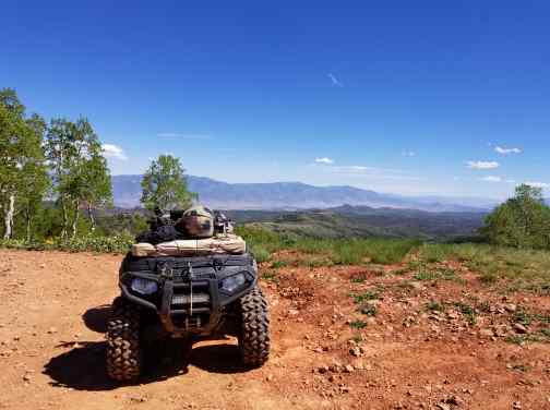
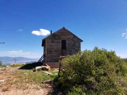
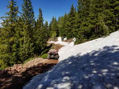
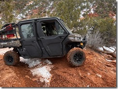
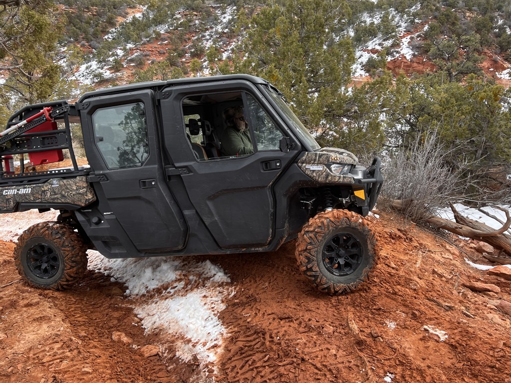
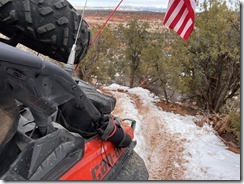
Good times! Alexander King and I jumped in the CanAm X3 (2 seat ATV) and decided to attempt a full loop around Panguitch Lake. We started offroad at Brandi Morgan Dickinson house, followed the trail due south and came down to HWY143 via Hatch Mountain Rd. We plowed fresh snow for a good 5 miles.
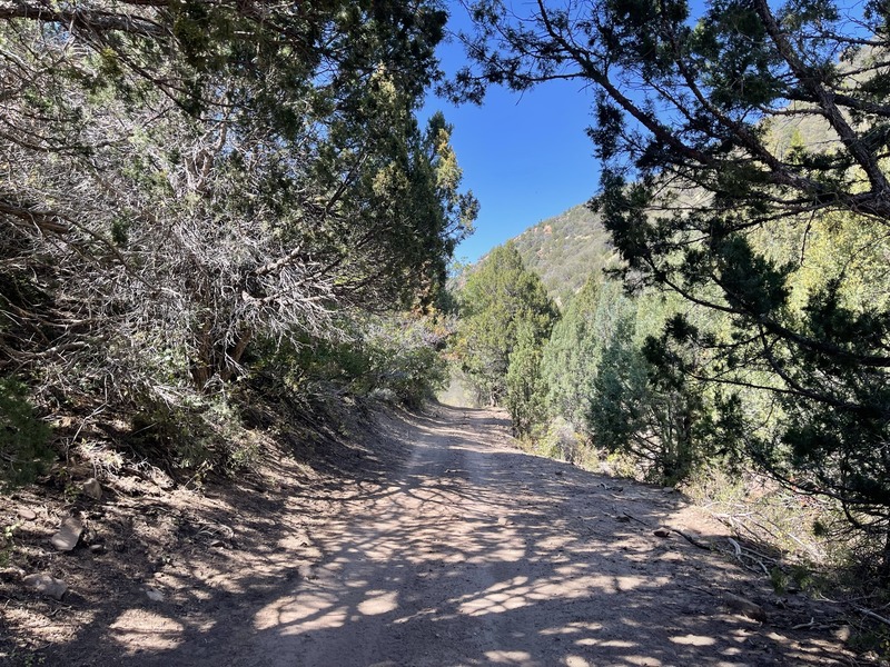
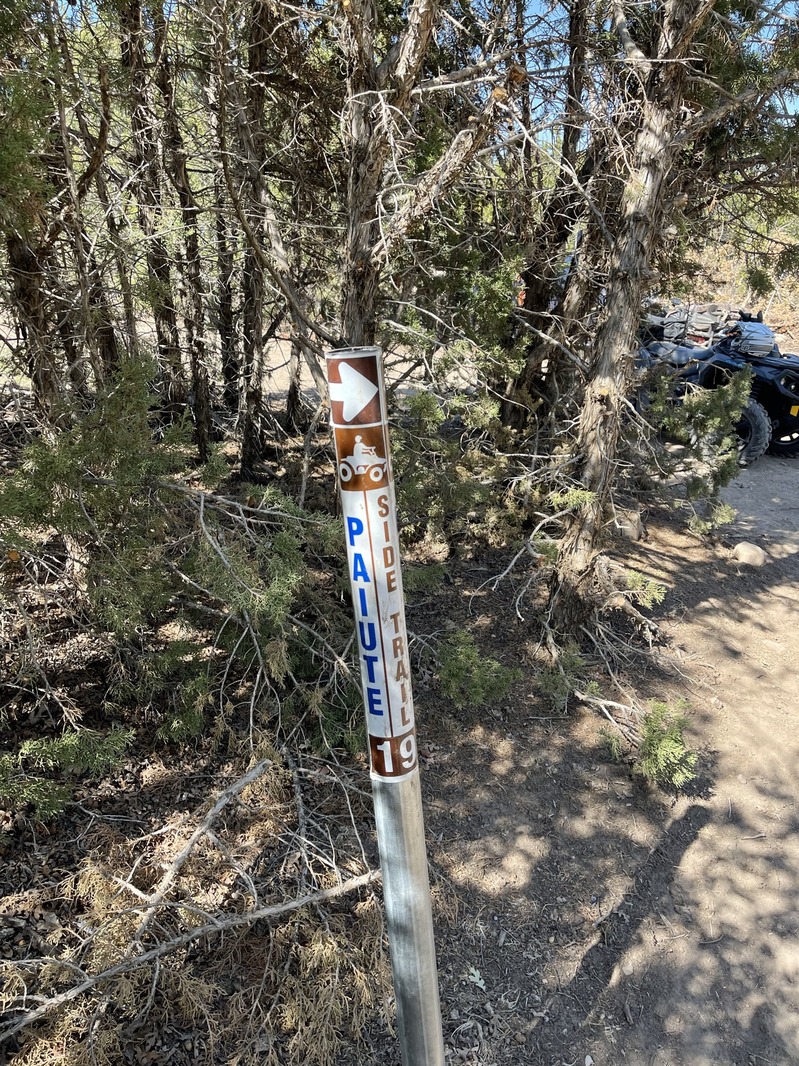
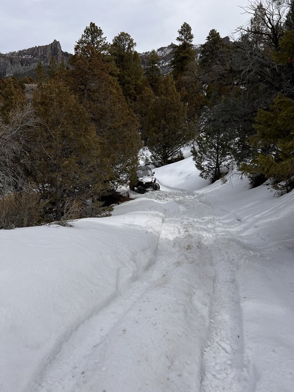
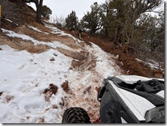
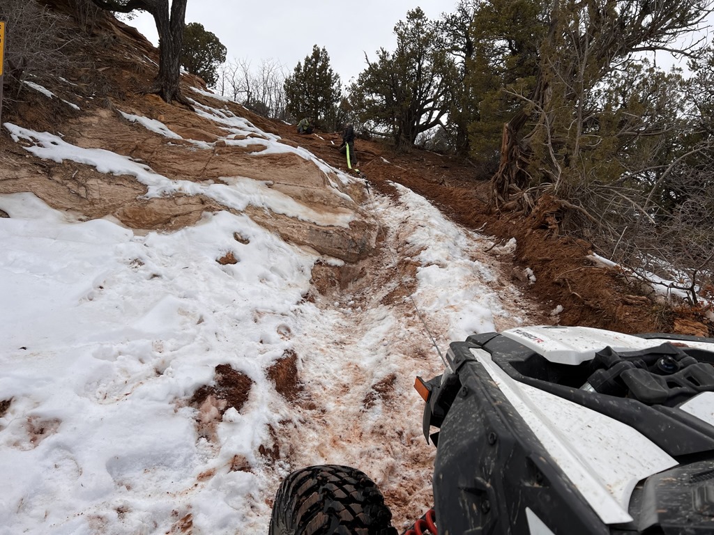
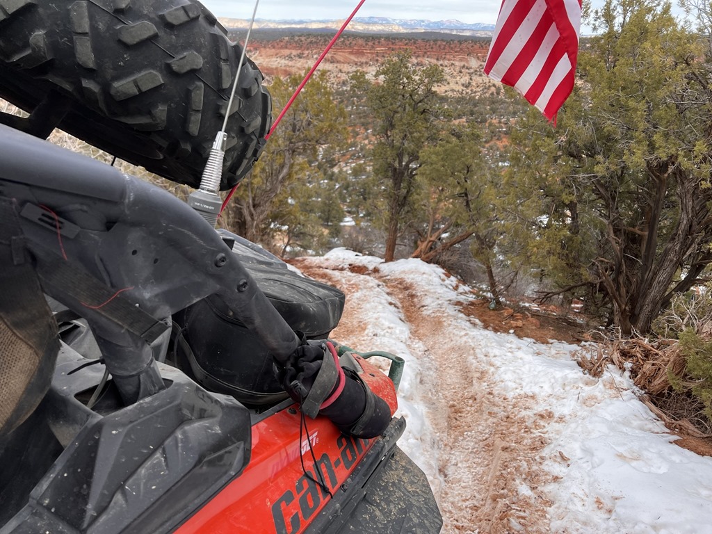
We then circled all of Panguitch Lake before catching the Horse Valley Rd route back North and toward home. We hit snow and I was positive I was following TIRE tracks.. NOPE. The minute we slid off trail, we sank 2.5-3' into deep powder. We were following snow mobile tracks! 

No trees in front of me and the nearest trees to the rear were over 100' away. I used all the winch and recovery line I had with me (I had about 200' of length). We had only about 5 more feet to get out of the deep stuff before the winch cable snapped!

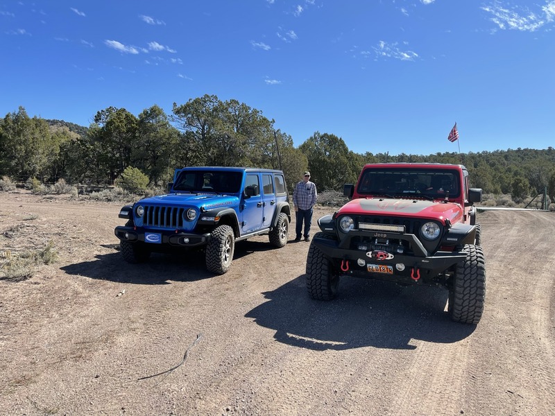
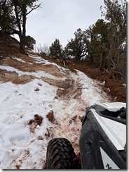
I then decided that this Search and Rescue guy needed his Jeep to rescue him. I found a spot that gave me ONE BAR of cell reception, called the Trish and gave her basic coordinates to where we were located. I knew her navigation and Jeep skills (in snow) weren't great, so thought it best that I start hiking 3+ miles back toward the lake in case she got stuck. Well, she got stuck and I could hear her hitting the horn. Noticed she didn't have lockers on, so kicked those on, got the Jeep out and proceeded to the CanAm. That snow is DEEP. Waist deep when you step out of the snow mobile tracks.
What a great day! Seriously.. Pics and vids
..IMG_3163IMG_3164IMG_3165IMG_3166IMG_3167IMG_3168IMG_3170IMG_3171IMG_3172IMG_3173IMG_3174IMG_3175IMG_3176

Garmin tracks for the area: Panguitch.gdb
On Saturday, 5 December, I made the super dark drive starting at 0500 to reach Green River for a 9am link-up with the At Your Leisure (AYL) TV crew and a few other participants. The end objective was to run into the White Sands Wash sand dunes area and film a clip for an upcoming show.

We gathered at the Conoco at the East side of Green River and started our ride. I believe all told, there were about 10 machines in our group. We stopped nearly every mile to capture film footage to include overhead drone. After ~2 hours or so, we arrived at the mesa overlooking the sand dunes and Chad and Ria filmed their introductions.

From there, I departed solo in my CanAm Maverick X3 Turbo R to the East and North, crossing atop I-70 to hit the Book Cliffs before it was time to check-into the Quality Inn.

Finished the Book Cliffs run and banked south and West along the old interstate 70 road (broken pavement, etc) and proceeded to check into the Quality Inn while I waited for my friend Mike to arrive from his Cowboy shoot near Price.

Used the BBQ grill at the hotel to grill up a great steak sourced from Dry Lakes Beef out of Parowan with a nice Ceasar salad.

The next morning, we walked across to Tamarisk for a fine breakfast, jumped in our individual trucks and trailered to Exit 131 at the Wickiup where Mike unloaded his Polaris RS1 and I unloaded my CanAm X3.

From that location, 0830'ish, we banked North and ran around the Wickup before catching Coal Wash to Fix-it Pass to Devil's Racetrack. Devil's Racetrack to Coal Wash to Eva Conover to Eagle Canyon over toward Swaseys Cabin and back to the trucks.

A few photos.

IMG_1354.JPEGIMG_1370.JPEGIMG_1377.JPEGIMG_1388.JPEGIMG_1395.JPEG


Starting from the south end of Cedar City, we proceeded to drive into Modena. From there, we hit the trails and ran North and West into the old ghost town of Stateline. Despite a recent fire having destroyed nearly all trees and vegetation, there will still quite a few wild Mustangs roaming the landscape.

A few photos and GPSr tracks.

IMG_1078.JPEG

IMG_1079.JPEG

IMG_1080.JPEG

IMG_1084.JPEG

On Saturday, 25 Sept, 4 of us met up just off I-70 at the Clear Creek road exit. Our goal was to run North to find the newly marked PST336 trail.

We unloaded and started running the Pahvant range starting at the PST15. We ran nearly to Adelaide campground when we figured we must have missed the trail, so we backtracked, but not before myself and one other got a great bee-sting direct to the neck.

We backtracked a good ~5 or so miles before we sign the sign for "Charlesworth Valley" with a not so obvious PST336 marker, so we turned West and went down the trail.

Oddly enough, the trail starts as a 50" restricted, but the PST336 only lasted maybe .25 miles before it became the PST19 (also a new trail), that lasted maybe 5 miles before it too was renamed the PST20 (also a new trail), taking us all the way into Kanosh.

We had heard others refer to this trail as a "Challenge Course". Other than being narrow and ledgy, it was a nice winding, tree-lined trail into Kanosh.

GPSr tracks of the ride:

A few photos:
PST20 after .25 miles of the PST336

IMG_1034.JPEG


PST19 after leaving ~5 miles of the PST20:

IMG_1037.JPEG

FYTO 2019

| No Comments

With the inversion settling into the valley and temps hovering just above freezing, I jumped in my Land Cruiser, that I had packed Thursday night, and made my way to the Loves in Brigham City where I would meet 19 other vehicles to kick off the 11th annual Freeze Your Tail Off. FYTO is one of my favorite trips each year!
Temps in the 30's may seem cold at first, but if you have ever been on a FYTO event, or driven into the NW desert in Utah, you know you want temps in the 20's to avoid the snotty, sticky, slick as $#i+ mud in the area. Since I haven't figured out how to control the weather, the game plan was to find higher ground and avoid mud like the plague.
As I pulled into Loves, I saw a few familiar faces topping off tanks and assembling in the parking lot. I topped off the tank, grabbed some burritos from the C-Store, and started handing out waivers and sticker packets. Once everyone arrived, we held a quick drivers' meetings and hit the road toward Golden Spike National Monument.

We hit dirt and cruised to the Transcontinental Railroad Grade. Our first stop was the ghost town of Kelton. The stretch of road between locomotive Springs and Kelton is chewed up and slow going. I am super thankful it was still frozen when we got there! By the looks of the ruts, there were many less fortunate than we were. Along the way we spotted a bald eagle chilling on a fence post. It was Amazing!

2.jpeg

Arriving in Kelton, we circled the vehicles at the Cemetery to stretch our legs and air down tires. We paused for a bit to admire other rigs in the group, get to know one another, and take some pictures. With temps on the rise, we made the call to stay as high as possible. We set sights on Element 11, Utah's local version of Burning Man, and set out on the road slightly less traveled.

3.JPG

4.JPG

5.jpeg

6.jpg

7.jpg

Take 1 Utah DNR Trail Host Video

| No Comments

TRAIL HOST WEBSITE LOGO.png


Untitled.jpg


Utah DNR Trail Video


Video taken in ~12F atop the Barracks trail near Kanab Utah.

Trail Map found here: Kanab_Area_OHV.pdf


GPSr tracks found here: Fillmore-to-Salina-Richfield.gdb


On 10 June, my friend Aaron and I took off at 0630 AM en route to the Fillmore KOA. Our objective was to run the PST03 (Chalk Creek), up and over the mountain, dropping down into Aurora, then proceeding into Salina for lunch.

https://youtu.be/aexLGjA01tk


At elevation, temps were easily 55-60F, while in the low land of Salina, temps were low 90's. What a contrast in temperatures.


While up top, we decided to check out a little side trail named: Bear Hallow. What a nice run through wild flowers to a cattle pond at the base.


20170610_16292220170610_16302820170610_16334520170610_16560820170610_17112920170610_18281820170610_18282720170610_201419

In about August 2014, I started planning a fall event in the San Rafael Swell. The plan was to stage at the end of the pavement near Temple Mountain. I posted an invite link on Facebook and invited many to participate.

As the week neared, the weather was looking to be perfect. Mid-70's and full sunshine were forecast for the entire weekend. It was going to be great.

I took that Thurs & Friday off and was on the road by early afternoon on Thursday. Traffic was mild and the trek south/east was uneventful, except for what I noticed on my speedometer. I truck has just clocked 111111 miles. It was an odd sight.


GPS Tracks for the weekend here: TempleMountain-Area.gdb


An interesting history of the mining in the area found here: SanRafaelOralHistoryReport4-16-2012.pdf


10628163_10205202163237324_6090748609831972228_n


Upon arriving at the Temple Mountain area, I found my staging/camping location was already fairly full, but I did manage to carve out an area large enough for my rig and friends.


SAM_0474SAM_0475


That Friday, I decided to pre-ride many sections that I thought could be technical. Behind the Reef and Little Wild Horse trails had a few technical rocky sections and I determined that we'd avoid the rock craw on Little Wild Horse.


532902_10205220183287814_4058197549168026773_n10404071_10205220182887804_6847239150510959205_n


100 miles ridden on Friday and only two sections that were somewhat technical. I mapped everything out with the GPS, plotted on the BLM / County map and prepared for Saturday's ride.


Saturday, the sky was clear and morning temps in the high 50's. Everyone donned their gear, with one heavy jacket in sight and off we went.

One of the many exciting discoveries had to be an accessible mine near Tomisch Butte. The mine seemed to cover the entire length and width of the mountain. We entered near the chute and would come out on another section of the mountain. Probably not advisable for us to have wandered through given it was a uranium mine..

A few videos:

3 Months of ATV Follies

| No Comments
Caution: Some language and gestural profanity involved in this movie.

This is a compilation of at least 3 rides that took place from Aug-November 2013, where the best goof-ups and oopsies occurred. 


ATV Follies III 2013 from Midnight Rider on Vimeo.

Enhanced by Zemanta

Tracks found here: Trails by Bountiful.gdb


Over the previous weekend, and after getting my Polaris Sportsman 850 XP (Limited) back from service (7 times in for the same check engine condition), I decided to ride above Bountiful yet again. This time, my goal was to stress the Polaris by riding all the extreme and/or 2track trails I could find.


From the "B" staging area, I proceed due East and up the mountain along what I believe to be the USFS 605 trail. Plenty of off-camber, ruts and rocks to get the machine and human warmed up.


After exiting the 605, I turned hard right and started the old Tuttle Loop/606 trail upward until I connected to the main county road. I followed the county road until the downhill section toward the first beaver/glacier pond, then proceeded toward Farmington Flats campground and followed the 2track trail toward the 250 and 249 trails, upward to the FAA radomes, then down to the ponds North and East of the radomes.


Reverse back to the 606 and down the mountain.


A few videos:


 Where is James King?


Language Translation


Other Links:


 Main
 Public Trail Maps
 Archives
 CMS
 About/Contact
 Twitter @BruteForce
 Facebook
 LinkedIn
 Geocaching
 View DGP stats


My Audio & Video:


 Flickr
 YouTube
 Pandora


Elsewhere:


 ATV Utah
 Our ATV Obsession
 Bogley Outdoor Community
 ATV Escape
 Trish's Cake Shop
 Dennis Udink's Site
 Army Ranger
 Alex's World
 Grizzly Guy
 Adventure World TV
 WeatherCam: UofU
 Delta Bravo Sierra Comics  
 PowerPoint Ranger Comics
 Reversaroller ATV Winch

December 2022

Sun Mon Tue Wed Thu Fri Sat
        1 2 3
4 5 6 7 8 9 10
11 12 13 14 15 16 17
18 19 20 21 22 23 24
25 26 27 28 29 30 31

Recent Photos

About this Archive

This page is an archive of recent entries in the Trip Reports category.

San Rafael Swell is the previous category.

Find recent content on the main index or look in the archives to find all content.