May 2009 Archives

Last week, starting Wed. afternoon, we loaded our 31' Jayco Greyhawk RV and set forth to the Seattle, WA. area.

On board was my family (wife & two sons) and my sister-in-law and her daughter. For good measure, the wife also brought the family cat -- "Rascal".

We took the standard route North/West via Boise, up through a bit of Oregon and into Washington State. Spent the night in the Boise, ID Walmart parking lot. Pretty noisy there.

Upon arrival, we got to see our new nephew, my sister's first child (Issac). All babies look the same to me. Not being PC, I said something like "nice kid" and "good job sis". Sheesh!

Went fishing in the Puget Sound with my Bro-in-Law (Rich, a Seattle FD fireman) and caught flounder (sole), rock fish (garbage) and some kind of ocean sucker fish (looked like a manta ray with big lips). Didn't have a filet knife, so the fish we kept went to waste. (sigh).

On the way home, we decided to make our route through Yellowstone, but mid-way there (and after hitting a few geocaches), I checked with the park service and they indicated heavy congestion, so I plotted a new course via the Garmin Nuvi.. about 100 miles of routing through farmland, WA and we were back on course.

A few photos from this trip:
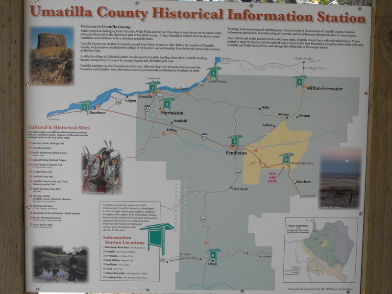
Deadman (1).JPGDeadmans Pass

Deadman (4).JPG

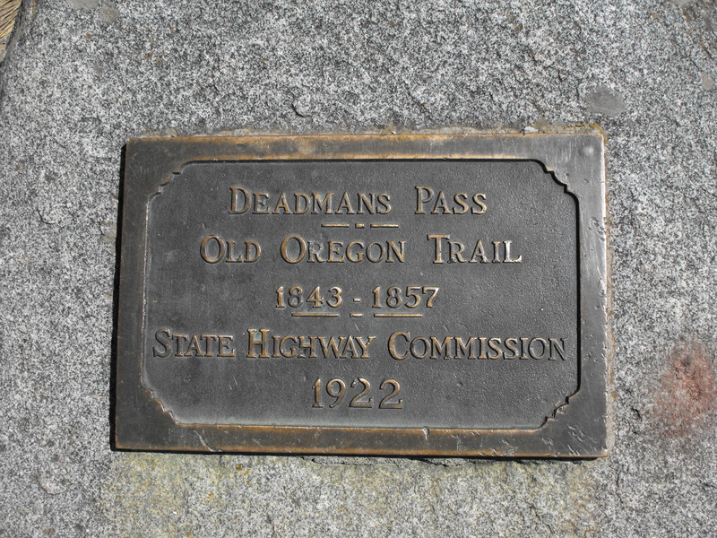
Placard at Deadmans Pass
Deadman.jpg

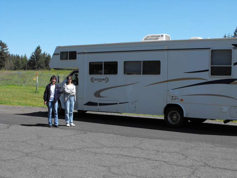
Trish and Janet in front of the RV at Deadmans Pass
DSCF0004.JPG

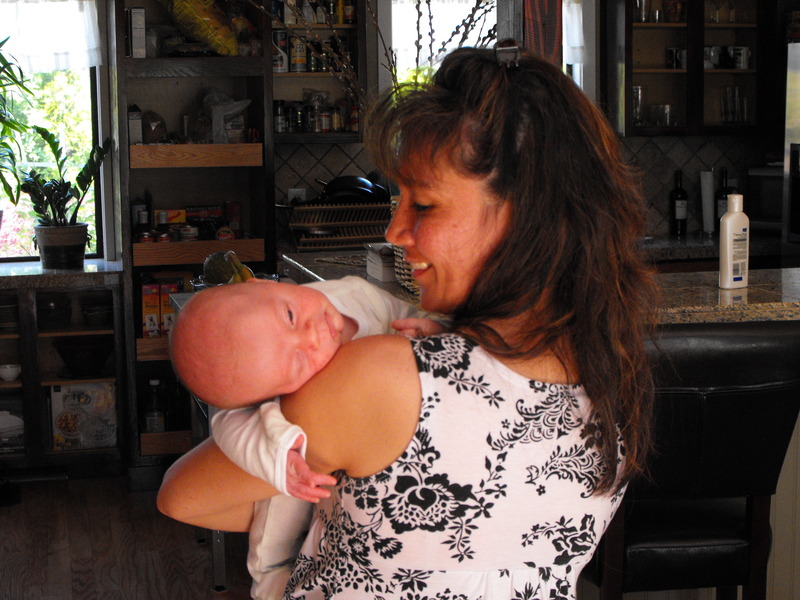
Trish and baby Isaac
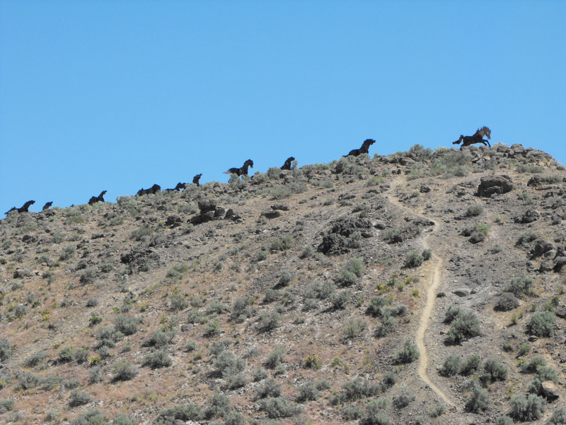
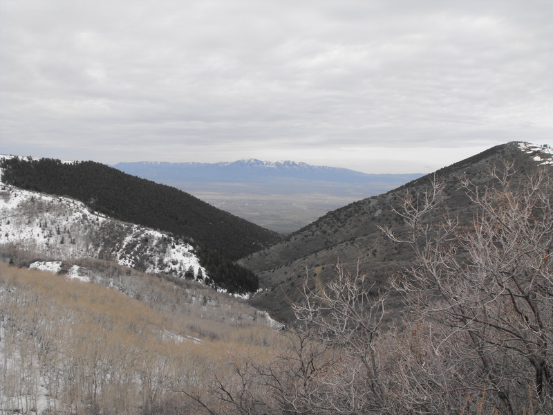
DSCF0015.JPG

Wild Horse Monument

DSCF0017.JPG

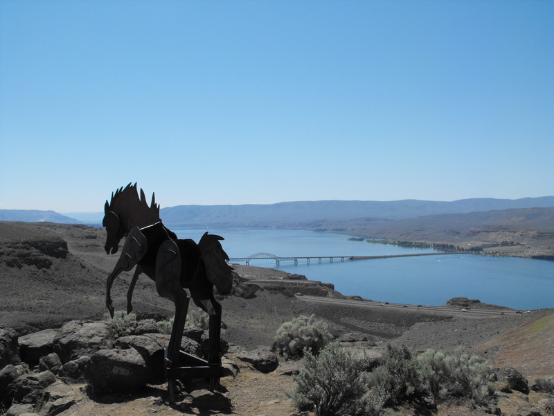
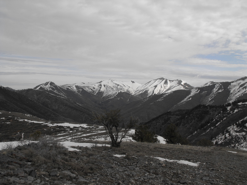
A view from Wildhorse monument (and geocache location)

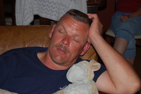
And finally, this handsome snapshot of me asleep after coming back from Pacific Ocean fishing (dead-tired):

DSC_0056.JPG


One hell of a long drive (just over 2000 miles round trip) to do in a long weekend.

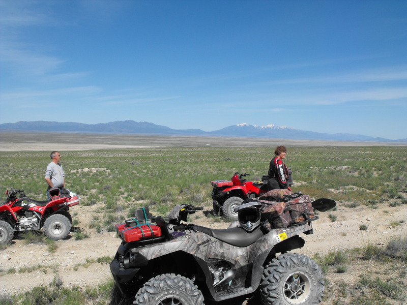
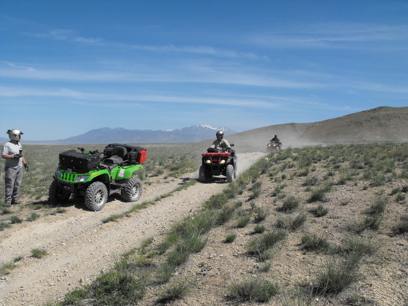
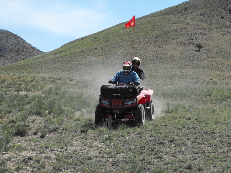
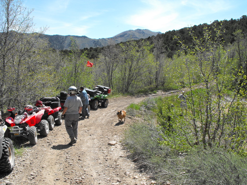
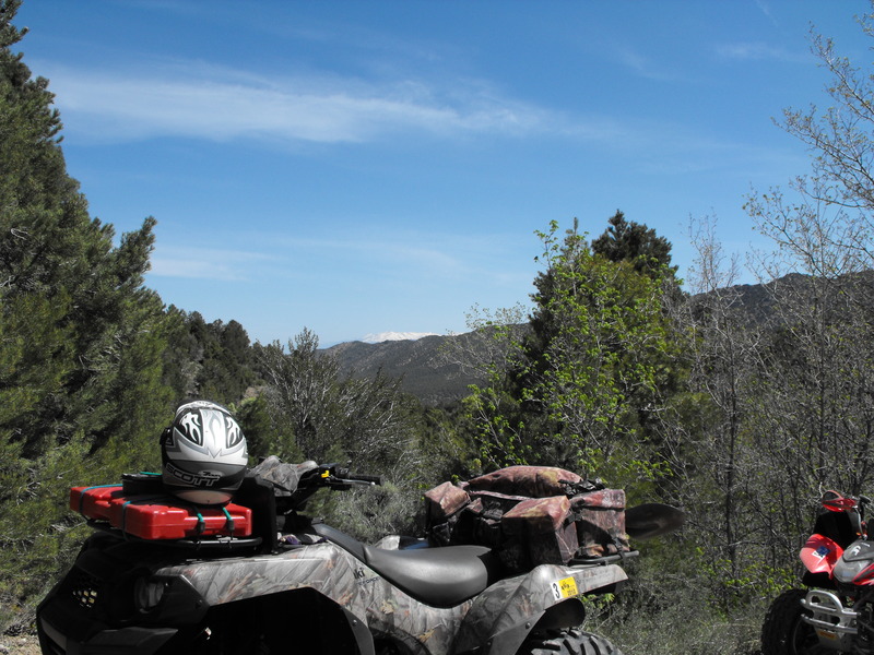
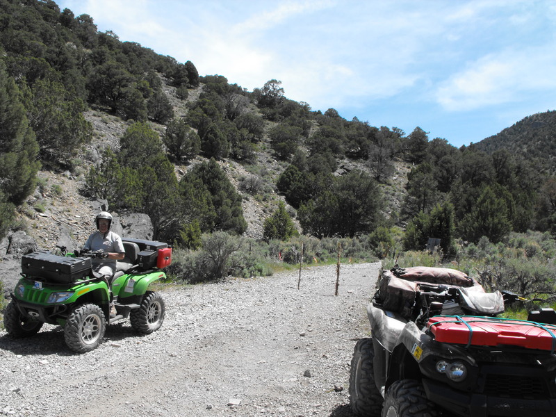
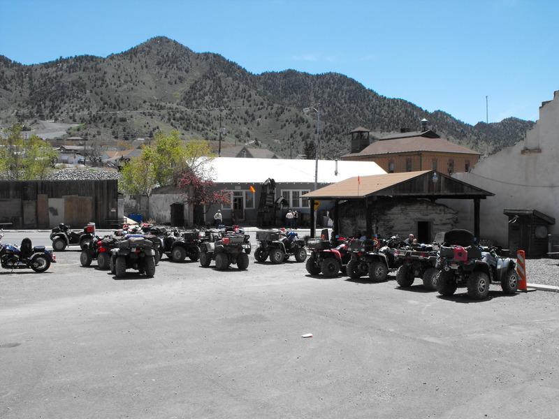
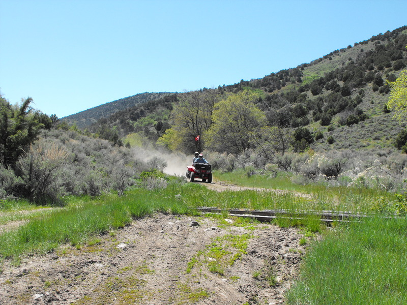
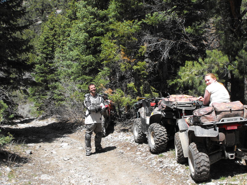
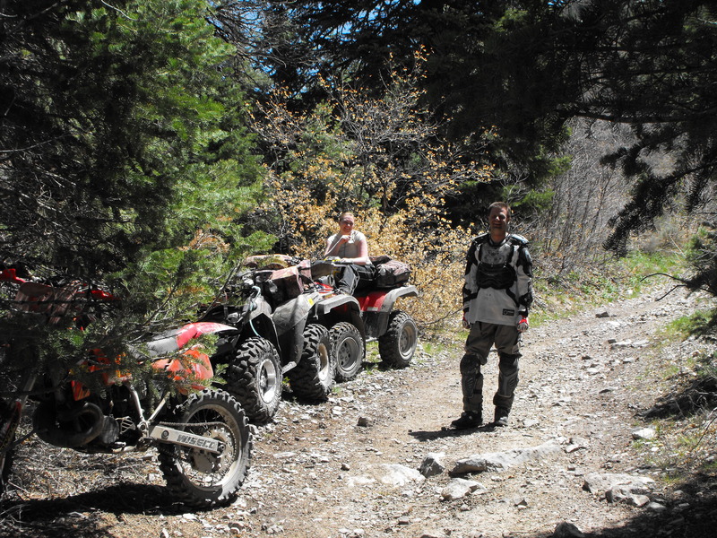
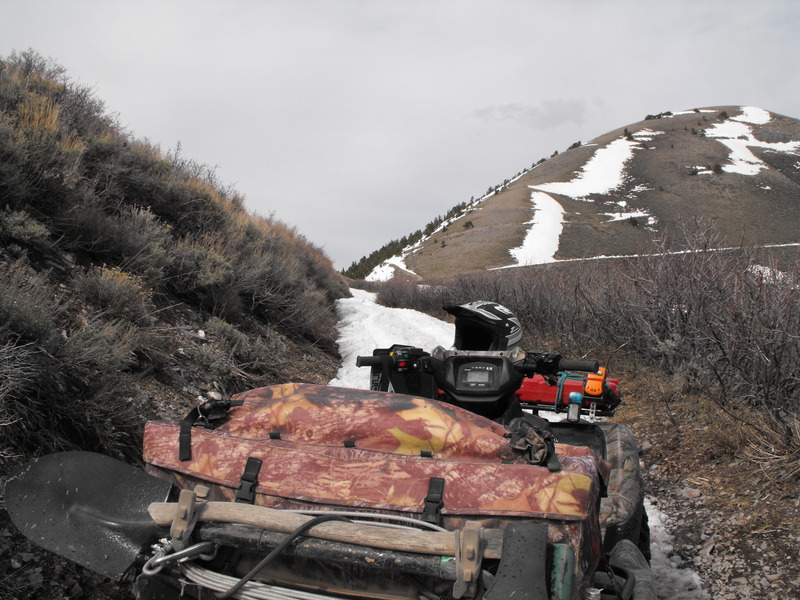
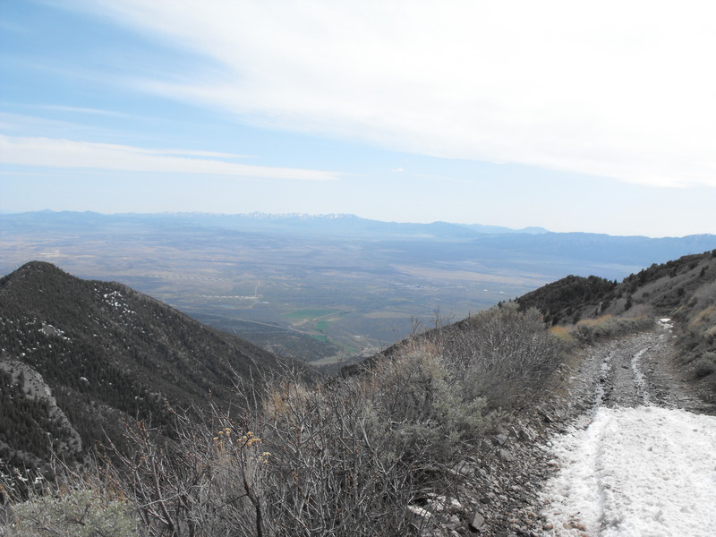
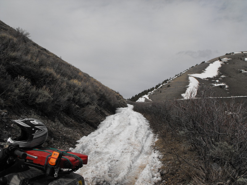
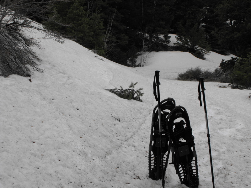
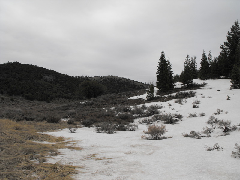
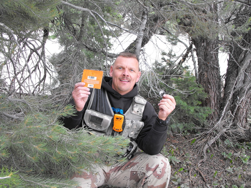
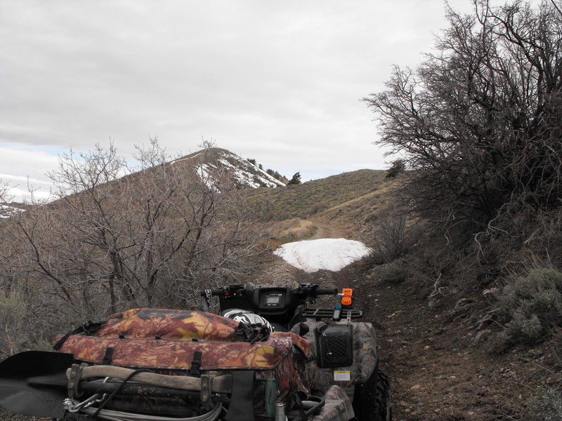
Immediately after returning, I loaded up my truck, ATV and ATV Tent/Trailer and head out to Fillmore for riding, camping and geocaching. That story coming up.


Vacation

| No Comments
So, I've been on vacation for over a week now. The first half was spent driving the family (in our 31' motorhome) to Seattle.

While there, we got to enjoy seeing my sister and brother. My sister had her first baby and was now 3 weeks into being a parent.

I also got to enjoy a bit of ocean and Puget Sound fishing.

Today, I drive out to Fillmore with my ATV and ATV Tent/Trailer to do a bit of riding and camping from Fillmore to Marysvale.

Photos and additional updates after my return or during if I can get an Internet signal.
Since I'm now on vacation until June 1st, I thought I'd again try to get up Ophir and Jacob City.

I started off at the back side of Ophir City (down in the bottom of Ophir Canyon).

First, I attempted to ride to the top of Jacob City (LEFT <north>) from the valley below. At less than .25miles from the top, the snow drifts were far too deep to pass.

I then went back to the valley and attempted to go to the top of Ophir (RIGHT <south>) from the valley below. It's completely open and passable. Unfortunately, while up top, a thunderstorm blew in and caught me up top.

What a great day of exploring and riding!
Note: Not good! This is my primary means of off road (ATV) navigation and geocaching.
---

Mismanagement and underinvestment by the U.S. Air Force could possibly lead to the failure and blackout of the Global Positioning System (GPS), a federal watchdog agency says.

The risk of failure starts in 2010, according to the Government Accountability Office (GAO) report quoted by PC World.

The failure would impact not only military operations, but also the millions of people and businesses who rely on the satellite-based navigation systems built into cars, boats and cell phones.

"If the Air Force does not meet its schedule goals for development of GPS IIIA satellites, there will be an increased likelihood that in 2010, as old satellites begin to fail, the overall GPS constellation will fall below the number of satellites required to provide the level of GPS service that the U.S. government commits to," the GAO report states.

The report says the Air Force has struggled to build successful GPS satellites within cost and on schedule.

• Click here to read more on this story from PC World.


Note: Does this guy need to have his mouth duct-taped shut?

---
Vice President Joe Biden, well-known for his verbal gaffes, may have finally outdone himself, divulging potentially classified information meant to save the life of a sitting vice president.

According to a report, while recently attending the Gridiron Club dinner in Washington, an annual event where powerful politicians and media elite get a chance to cozy up to one another, Biden told his dinnermates about the existence of a secret bunker under the old U.S. Naval Observatory, which is now the home of the vice president.

The bunker is believed to be the secure, undisclosed location former Vice President Dick Cheney remained under protection in secret after the 9/11 attacks.

Eleanor Clift, Newsweek magazine's Washington contributing editor, said Biden revealed the location while filling in for President Obama at the dinner, who, along with Grover Cleveland, is the only president to skip the gathering.

According to Clift's report on the Newsweek blog, Biden "said a young naval officer giving him a tour of the residence showed him the hideaway, which is behind a massive steel door secured by an elaborate lock with a narrow connecting hallway lined with shelves filled with communications equipment." 

Clift continued: "The officer explained that when Cheney was in lock down, this was where his most trusted aides were stationed, an image that Biden conveyed in a way that suggested we shouldn't be surprised that the policies that emerged were off the wall."

In December 2002, neighbors complained of loud construction work being done at the Naval Observatory, which has been used as a residence by vice presidents since 1974.

The upset neighbors were sent a letter by the observatory's superintendent, calling the work "sensitive in nature" and "classified" and that it was urgent it be completed "on a highly accelerated schedule."

Residents said they believed workers were digging deep into the ground, which would support Biden's report of a secret bunker, but officials never confirmed the purpose of the work performed.

The revelation is the latest from Biden, who has a long history of political blunders.

Most recently, he said in a televised interview that if a family member asked him about traveling he'd advise staying away from public transportation or confined spaces to avoid swine flu -- a remark described as "borderline fearmongering" by an airline spokesman.


Staging was set for 0900-0930 on Saturday 16 May. Upon arrival, there were already several trucks unloading ATV's of all types. As it turned out, Chris Brimhall (aka Ghost Rider) had brought down most (if not all) of the Northern Utah ATV Club to ride the same route.

Just before 0930, m74me (Dennis) and Britt & Bill arrived. Just as we were leaving, another couple Edward and Rossalind asked to join our group.

At exactly 0930, we pushed out and began our (what would end up being 90 miles) ride.

The first obstacle was a mountain climb with significant rocks and obstacles on the way up. We broke out the winches, muscled the machines up and pressed on. No damage, no injuries. So far, so good.

Our first break came about 15 miles into it. We stopped near "Great Place for a Crappy Cache" and explained to Edward and Rossalind (who have never geocached) that there was a public toilet behind a tree. They couldn''t believe what they saw. A full sized toilet, right there in the open desert!

Britt & Bill looking to the South as 24+ ATV's from the Northern Utah Club came through:
DSCF0007.JPG


DSCF0009.JPGEdward and Rossalind coming back from the geocache "toilet":
DSCF0011.JPG
At this point, we banked East toward Black Rock Canyon and began winding our way up. Upon reaching a cattle watering hole, Dennis (m74me) determined that he had torn a 3/4" gas in the sidewall of a rear tire. It was to plug (for him), and time to place a geocache at this location (by me).

The group at a break near the watering hole:
DSCF0014.JPG
DSCF0016.JPG

Shortly after leaving the watering hole and about half-way through Black Rock Canyon, Edward hit a rut, and both he and Rossalind flew off the machine. Fortunately, neither seemed to be seriously injured, but they were obviously shaken up. Afterward, Edward drove much more modestly.

East cattle gate to Black Rock Canyon. Dennis aka m74me taking a break:
DSCF0017.JPG

From this point, we proceeded south along the Tintic mountains and decided to head into Eureka for food & fuel. Upon arrival, we found a full group of motorcyclists (at least 20+) and all 24 ATV's from the Northern Utah ATV club already there. The gas station attended seemed a bit overwhelmed.

The "group" near Rockwell's Cabin:
DSCF0019.JPG

After fueling up, having a snack, we decided to head back out via Chiulus pass. We were now a bit over 50 miles into our trip and the weather was perfect even though a bit warm.

We navigated through the Rock Garden and came down the pass into the canyon adjacent to Black Rock Canyon.

Edward and Rossalind coming out of the canyon:
DSCF0022.JPG


En route back to Five Mile Pass, we managed to leave Dennis behind. After getting the group safely back to the vehicles, Bill and I decided to go looking for Dennis. Fortunately, he had found his own way back.

Final mileage: 90 miles, end of ride: 1730. What a great day!

Britt, Bill, Dennis, Edward & Rossalind: If you're reading this and you have photos, please do share them.

DSCF0021.JPG

By USAIC Public Affairs Office

Story Highlights

  • 24 teams complete Best Ranger Competition at Fort Benning
  • 87 points separate top two Best Ranger teams
2009 Best Rangers

Photo credit Lori Egan (Fort Benning, Ga., The Bayonet)


Sgt. 1st Class Blake Simms, left, and Sgt. 1st Class Chad Stackpole, both from the 4th Ranger Training Battalion, hold the Colt 45 pistols they received for winning the 26th annual Lt. Gen. David E. Grange Jr. Best Ranger Competition. It is the first time in the competition's history that one team has finished first in the road march and the night orienteering as well as winning the overall competition.

FORT BENNING, Ga. (May 11, 2009) - A team from Fort Benning's 4th Ranger Training Battalion, Ranger Training Brigade, has won the 26th annual David E. Grange Jr. Best Ranger Competition.

Sgt. 1st Class Blake A. Simms and Sgt. 1st Class Chad E.W. Stackpole won the three-day event by a margin of 87 points.

In second place were Master Sgt. Walter J. Zajkowski and Master Sgt. Daniel E. Jenkins, U.S. Army Special Operations Command, Fort Bragg, N.C. They were followed in third place by Sgt. Michael A. Malchow and Sgt. Jesse A. Collins, 75th Ranger Regiment.

The Best Ranger Competition began Friday morning, with 49 teams starting the first event. Only 24 teams completed this year's competition, which concluded with a nine-mile canoe event followed by a four-mile buddy run to the finish line at Fort Benning's Freedom Hall.

The Best Ranger Competition was established in 1982 and has been compared to Ironman and Eco-Challenge competitions.

Standings for the 24 teams who completed the 2009 Best Ranger Competition are:

1st - Team 21 with 2,483 points - Sgt. 1st Class Blake A. Simms and Sgt. Chad E.W. Stackpole, 4th Ranger Training Battalion, Ranger Training Brigade, Fort Benning, Ga.

2nd - Team 22 with 2,396 points - Master Sgt. Walter J. Zajkowski and Master Sgt. Daniel E. Jenkins, U.S. Army Special Operations Command, Fort Bragg, N.C.

3rd - Team 7 with 2,165 points - Sgt. Michael A. Malchow and Sgt. Jesse A. Collins, 75th Ranger Regiment.

4th - Team 8 with 2,151 points - Staff Sgt. Brandon K. Farmer and Staff Sgt. Luke R. McDowell, 75th Ranger Regiment.

5th - Team 31 with 2,138 points - Staff Sgt. Michael C. Mutchie and Staff Sgt. Miguel A. Antia, 4th Ranger Training Battalion, Ranger Training Brigade, Fort Benning, Ga.

6th - Team 46 with 2,094 points - Capt. Samuel E. Linn and 1st Sgt. Robert F. Carter, 5th Brigade, 2nd Infantry Division.

7th - Team 23 with 2,050 points - Sgt. Maj. Jesse D. Boettcher and Master Sgt. Eric J. Turk, U.S. Army Special Operations Command, Fort Bragg, N.C.

8th - Team 29 with 1,976 points - Sgt. Jeremy K. Billing and Cpl. Troy V. Jenkins, 75th Ranger Regiment.

9th - Team 43 with 1,970 points - 1st Lt. Thomas M. Halverson and Michael J. Luth, 4th Brigade, 4th Infantry Division.

10th - Team 27 with 1,920 points - Staff Sgt. Benjamin C. Hunter and Staff Sgt. Ian B. Hunter, 75th Ranger Regiment.

11th - Team 16 with 1,904 points - Staff Sgt. Raylan J. Heck and Staff Sgt. Adam J. Angisanio, 6th Ranger Training Battalion, Ranger Training Brigade, Camp Rudder, Fla.

12th - Team 33 with 1,864 points - 1st Lt. Chris S. Migliaro and Sgt. 1st Class Jordan A. Martell, 4th Brigade, 4th Infantry Division.

13th - Team 24 with 1,863 points - Maj. Jose D. Salinas and Maj. Edward A. Sedlock, 199th Infantry Regiment, Fort Benning, Ga.

14th - Team 17 with 1,852 points - Sgt. Edward F. Killmeier and Spc. Michael E. Pierce, 75th Ranger Regiment.

15th - Team 20 with 1,779 points - Maj. Pete S. Kranenburg and Sgt. 1st Class John S. Przytulski, 1st Special Warfare Training Group.

16th - Team 26 with 1,735 points - Capt. Ronald L. Garberson and Capt. Anthony B. Aguilar, U.S. Army Special Operations Command, Fort Bragg, N.C.

17th - Team 49 with 1,638 points - Sgt. 1st Class Mark E. Breyak and Sgt. 1st Class Steve W. Fields, Special Warfare Center Noncommissioned Officer Academy.

18th - Team 5 with 1,592 points - Sgt. 1st Class Derek G. Wise and Sgt. David M. Paul, 25th Infantry Division.

19th - Team 14 with 1,554 points - Capt. Stephen P. Magennis and Capt. Todd M. Tompkins, Maneuver Captains Career Course, 199th Infantry Regiment.

20th - Team 45 with 1,534 points - Capt. Lloyd B. Wohlschlegel and 1st Lt. Raymond A. Kuderka, 25th Infantry Division.

21st - Team 38 with 1,516 points - 1st Lts. Anthony J. Kivlehan and Alex B. Armstrong, 4th Brigade, 4th Infantry Division.

22nd - Team 35 with 1,492 points - Capt. David M. Cochrane and Staff Sgt. Anthony L. Fuentes, 6th Ranger Training Battalion, Ranger Training Brigade, Camp Rudder, Fla.

23rd - Team 28 with 1,310 points - Capt. Robert B. Killian and 1st Lt. Grant R. Barge, 10th Mountain Division.

24th - Team 34 with 1,297 points - 1st Lt. Lauren A. Gore and 1st Lt. Benjamin R. Juvinall, 4th Brigade, 1st Infantry Division.

Paria River Petition

| No Comments
Note: I've never ridden or been to this location, but the BLM is now going to actively enforce motorized restrictions in this area. If you'd like to sign the petition against closure & enforcement, you can be heard here.

Paria_Rally.jpg

Note: Having lived on Ft. Lewis for almost four years, I consider this great news. Ft. Lewis was easily the best base I've lived at (save for a few locations in Germany). I'm glad to see the DOD is going to renovate those old buildings.

--

FORT LEWIS, Wash. -- Fort Lewis' urban planners plan to transform the post from a concrete jungle of sprawling buildings to a leafy collection of smaller communities.

The post's long-term master plan, unveiled Tuesday, organizes the Army post into 13 neighborhoods. In the works are widening of sidewalks, on-street parking, street cafes and restaurants.

Some of the post's historic buildings, many dating back to World War II, will be renovated.

Garrison commander Col. Cynthia Murphy hopes the changes will transform the post's community of 30,000 soldiers and their families into more than the sum of its parts.

"I think it's really important to have that sense of community, especially during time of war," she said. "When you have that sense of community, you know your neighbors and care about your neighbors. You don't have that isolated feeling you have when you just drive from place to place."

A major goal of the design is to reduce commuting. Planners hope to group barracks, dining facilities, motor pools, administrative buildings and training areas close enough to encourage soldiers to walk to work.

"It's the new, old trend," said Tom Tolman of the Fort Lewis public works department's planning division. "It's returning to the principles we used when we built Fort Lewis -- the ability to walk and drive and bike. Now it's all about driving everywhere."

Planners are touting the post's ecofriendly design: Not only the reduction of car commuting, but the addition of more trees and adoption of sustainable construction standards could reduce carbon dioxide emissions by 18 million pounds per year, Tolman said.

The plan has no firm timeline for completion, but Murphy talked often about seeing major changes by 2017, the 100th anniversary of the post's founding under its original name, Camp Lewis.

The Pentagon is prepared to put up big bucks to make it happen. Fort Lewis will receive about $3 billion over the next five years for construction.

Not everyone has been a fan of Fort Lewis' plans.

Lakewood City Councilman Walter Neary said in January that he worries the on-post upgrades, including the Army & Air Force Exchange Service's plans to build a mid- to high-end retail and casual-dining shopping center, will hurt his city's economy.

Murphy disagrees. Many families shop on post, and often soldiers and employees don't leave post during their lunch break or after dinner because the roads are congested, she said.

"I don't think what we're doing for our soldiers and families is any different than what other communities are trying to do for their families," she said.

Urban planners, soldiers, family members and others began meeting two years ago to overhaul the previous master plan, which dated to 1995. Since then, the post has added more than 10,000 soldiers and a host of new equipment, including hundreds of eight-wheeled Stryker vehicles.

"The equipment and the facilities do not match," Murphy said. "We needed to update the post."

About 30 percent of Fort Lewis' soldiers live on post, either in barracks or in family housing. The post is expected to grow to about 32,000 soldiers over the next few years, and the master plan assumes the same percentage will live on post in the future.

One piece missing from the plan is neighboring McChord Air Force Base, which will merge with Fort Lewis by 2010. Similar planning meetings will begin when the two installations become Joint Base Lewis-McChord, Tolman said.


Note: I followed this story because I've been considering outsourcing (cloud computing) several core applications and services. When a provider like Google has a massive outage like this, it requires that I further scrutinize hosted service providers.

---

Updated at 12:25 p.m. PDT with word that Google has confirmed an error on its end caused the outage, and at 3:30 p.m. PDT with Google's comment on McAfee's description of the events.

Widespread outages involving several Google services--including search, Google Docs, and Gmail--were caused by an upgrade gone awry inside of Google, according to engineers.

Dmitri Alperovitch, vice president of threat research for McAfee, said that Google this morning attempted to make changes to key Internet routing numbers--known as autonomous system numbers--as part of its ongoing transition from an older networking standard to a newer one called IPv6. An unknown "bug" inside Google's network involving some sort of hardware failure or glitch prevented Internet service providers from finding Google's new ASNs on the Internet--effectively sealing it off from many customers, he said.

Not all Internet users were affected, but some that use larger providers--such as AT&T or Verizon--appeared to be disproportionately hurt because large ISPs "peer" with Google, or interconnect their networks with Google's networks in order to improve speed and reduce bandwith costs, Alperovitch said. Not all customers at those providers were affected, and smaller ISPs that didn't interconnect their networks were able to route around the problem. But just like when a bad car accident shuts down a key highway, the ripple effects were felt elsewhere.

The outage began at 8:13 a.m. PDT, according to McAfee's data, and was fixed by 9:14 a.m. PDT. The issue was discussed inside forums dedicated for ISPs and their engineers, such as the North American Network Operators Group. McAfee's customers reported the issue to the security company, which monitors network traffic for some customers.

Google is a major fan of IPv6 and makes many of its services available through the new network technology. However, IPv6 has been slow to arrive overall, in part because it's a very difficult transition from the current IPv4 network.

Google spokesman Eitan Bencuya wouldn't confirm what caused the problem but said the company plans to detail what happened in a company blog to be published "shortly."

Update at 12:25 p.m. PDT: Google has confirmed that "an error in one of our systems caused us to direct some of our Web traffic through Asia, which created a traffic jam." The company did not elaborate on what caused the error in a blog post, but claimed just 14 percent of users were affected.

"We've been working hard to make our services ultrafast and 'always on,' so it's especially embarrassing when a glitch like this one happens. We're very sorry that it happened, and you can be sure that we'll be working even harder to make sure that a similar problem won't happen again," Google wrote.

Updated 3:30 p.m. PDT: Google has denied that work on the transition to IPv6 is to blame for this morning's outage, but will not specify what was to blame. "This issue is unrelated to any work we are doing in transitioning toward supporting IPv6," a spokesman said. McAfee said it obtained its information from Google on a private mailing list for networking professionals of which Google is a member, but declined to provide a copy of the thread in question.


Start: N 40 14 10.79  W 112 09 43.12 (south side staging area)
Rock Crawling: N 40° 12.203 W 112° 09.607
Ridge line: N 40° 11.134 W 112° 08.738
Hill Climb:  N 40° 09.718 W 112° 09.490
12 Mile Pass:  N 40° 05.591 W 112° 09.896
Black Rock Canyon: N 40 02 44.66 W 112 09 14.17
Meadow Ride: N 40° 01.899 W 112° 11.519
Mill Canyon (if there's interest): N 40° 01.518 W 112° 13.984
High Point: N 40° 00.207 W 112° 11.815
Eureka Sinclair: N 39° 57.272 W 112° 07.197
Chiulus Pass: N 39° 57.363 W 112° 07.778
Rock Crawl: N 39° 58.224 W 112° 07.718
Allen Ranch Road: N 40° 02.137 W 112° 04.290

..then back toward Five Mile Pass.

Who's coming for the ride?
Note: I find it comical that so many people complain about Google Streetview. I've seen images of my neighbors gossiping between houses, drug dealers in Compton, CA selling on the street, etc.

--

For Google Street View, Japanese version, it's not a wrap. It seems to be more of a wrap on the knuckles.

Google has received so many complaints about the height of its ambition, I am sorry, I mean the height of its cameras, that it will re-shoot all of its Japanese footage again. With cameras of a more modest scope.

According to some critics, Google's eagle eyes were more those of vultures, capturing the meat of rather too many private moments over too many private fences.

This is one of the offensively lofty Street View cars in Japan. You can just make out the red tip of the Ladybug 2 camera.


In Japan, people are not fond of having even their clean laundry aired in public. And the protests became too great for Google to ignore.

So the company has agreed to bow to these complaints and lower its gaze by 16 inches.

Which will cost a little money, as it has already filmed in 12 Japanese cities, including Tokyo and Osaka.

This news comes as Google is also facing a few hurdles in Greece.

Authorities there have halted all Street View filming until Google satisfies them that its intentions are good and that its cameras will not show number plates, restaurant waiters smashing plates or anyone secretly watching the DVD of "Mamma Mia."


Saturday ATV Ride!

| No Comments
So, I've decided on a long ATV ride for this saturday. If anybody wants to come along, feel free to join.

I'm going to stage on the South side of Five Mile Pass, ride through some of the side canyons, head through 12 Mile Pass, toward Allen Ranch Road, up into the East side of Black Rock Canyon, through the canyon, out the West side of the Tintics, into Eureka for fuel, then up Homansville, North back toward Five Mile Pass.

PM me if you want to join and I'll provide basic GPSr coordinates.

Specifics:

  • ~75 miles round trip (bring extra fuel)
  • Some rough sections (winching may occur). I will gladly assist those without winches.
  • Long stretches where decent speed may be available
  • Geocaching opportunities
  • Steep climbing in Mill Canyon (if we decide to go up)
  • Great views for enjoying lunch and/or breaks
  • Potential for small snow drifts, but these should be passable

By Matthew Cox - Staff writer
Posted : Tuesday May 12, 2009 6:16:28 EDT

About 600 members of the 75th Ranger Regiment will soon take the Special Operations Combat Assault Rifle into battle.

The 600 SCARs are the first of 1,800 that U.S. Special Operations Command began fielding in early April, SOCom spokeswoman Air Force Maj. Denise Boyd told Army Times.

SOCom chose the SCAR system -- which consists of the 5.56mm MK16 and the 7.62mm MK17 -- to replace weapons including the 5.56mm M4A1 carbine, made by Colt Defense LLC.

The command selected FN Herstal to develop SCAR in 2004 after holding a competition to find a reliable, modular weapon system for its elite forces.

The SCAR has a short-stroke, gas-piston operating system. The upper receiver is aluminum and houses a free-floating barrel for improved accuracy. The lower receiver is polymer to help reduce weight. Both versions can be equipped with different barrel lengths to suit missions ranging from close-quarter fights to long-range shooting.

Operators can chose a 10-inch, 14-inch or 18-inch barrel for the MK16 and a 13-inch, 16-inch or 20-inch barrel for the heavier MK17. Each of these can be changed out by the shooter in minutes, FN officials say. The MK16 uses a 30-round magazine; the MK17 uses a 20-rounder. Eighty percent of the parts are common to both the light and heavy versions to reduce long-term maintenance costs, FN officials say.

The SCAR also includes the MK13 40mm grenade launcher, designed to fit on both the MK16 and MK17 or fire in the stand-alone mode.

Like the M4A1, both versions of the SCAR can fire on full automatic. The conventional Army's M4 carbine uses a three-round burst instead of full auto.

In addition to the M4A1, the SCAR system is intended to replace:

• The MK18 close quarter battle rifle, similar to the M4A1 but equipped with a 10.5-inch barrel.

• The MK11 special purpose rifle, chambered in 7.62mm.

• The MK12 special purpose rifle, chambered in 5.56mm.

• The M14 rifle, chambered in 7.62mm.

SOCom and FN officials do not talk about the cost of SCAR, but the Nov. 5, 2004, initial award for the contract was $634,390. Special operations units from all services will receive the SCAR, but it's unclear when that will happen, Boyd said; commanders are determining how many they will need.

"The intent is to field to operational elements at the beginning of their training cycle and to run the weapons through an entire work-up and deployment in order to determine weapon mix, barrel mix, total number of weapons required," Boyd said.

After riding 50+ miles through the Eureka/Tintic mountain areas yesterday, we loaded back up and rode up to the top of Jacob City. While we were able to reach the top, the entire ridge line is still covered in 2+' of snow.

I attempted to plow through anyway, but the snow was soft and my machine would only dig in.

So, for now, I'm postponing this ride until all the snow has cleared (for safety and to prevent rutting up the trail).

If anyone has interest, I'd be game in making another 50+ mile Tintic mountain ride. Black and Mill Canyons are now open and passable via ATV, but probably not yet for motorcycles.

A few photos from yesterday:

Craig (co-worker) and Danielle (sister-in-law) after coming back down from Mill Canyon (Craig's motorcyle couldn't make it up and he dumped it at least 3 times):
mill2 (1).JPG


mill2.jpg


These photos are from the top of the Jacob City area. I started at the staging area just off Ophir Canyon and Hwy 73:

OphirTop.jpg

OphirTop (1).JPG

OphirTop (3).JPG

Note: There are easily more hiking trails than offroad trails. I'm  troubled by the environmentalists clamoring so loud about these issues. In the areas I've ridden, I've never seen a single hiker or person smelling the cacti - yet, I'd be willing to bet you'd get noise about closing the west desert to offroad vehicles. I'm curious to see how this turns out.

--

A Kanab businesswoman is organizing a "picnic with a purpose" alongside the Paria River as a peaceful way to speak out against hundreds of off-roaders who plan to take a protest ride Saturday in Grand Staircase-Escalante National Monument.

But Susan Hand insists her event won't be a counterprotest. She hopes her allies won't try to stop the four-wheelers as they tool up the river in defiance of an expected Bureau of Land Management announcement that it will begin enforcing rules against riding in the Paria streambed.

"We want to show the world that local people care about protecting our land from illegal and irresponsible use. We will not be confrontational, inflammatory, aggressive or hostile," Hand said in an e-mail she sent to others who favor protecting the Paria. "It's hard to yell at someone who is calmly sitting in a lawn chair, munching a muffin and sipping tea."

Hand hopes the picnic will proceed without any fuss from the riders. "I'd like to invite them to have coffee."

But others are ready to mount opposing protests. The Southern Utah Wilderness Alliance issued a call to action against "renegade off-road-vehicle riders."

"The canyon is a wilderness study area and has been closed to ORV use for years by the Utah [office of the] Bureau of Land Management," SUWA said, "but the protest organizers believe this beautiful canyon, along with every other piece of public land in Utah, should be open to ORVs."

An ad


Advertisement

this week in Kanab's Southern Utah News headlined "Road Closing Protest" called for people to gather at the mouth of Johnson Canyon in Kanab for a ride up Paria Canyon. "'We the people' must stop the federal government from closing down all our roads and doubling the size of the monument."

It's rumored that Kane County Commissioner Mark Habbeshaw placed the unsigned ad. Habbeshaw hasn't responded to multiple requests for comment. But he has a history of opposing federal attempts to keep Jeeps and all-terrain vehicles on designated trails and out of wilderness-quality areas.

Kanab resident and off-road rally organizer Shawna Cox expects 500 to 1,000 riders to show up for the Paria protest. She doesn't expect any trouble.

"Nobody I know is going to be causing any problem," she said, adding she has arranged for county law enforcement to be there "to see that things don't get out of hand."

Picnic organizer Hand said that's what she and others fear.

"There are a lot of people I know who are environmentalists in this area. But I don't know how many people will show up. It's kind of intimidating for people," she said. "They are afraid of repercussions in the community. Because you are a minority, you open yourself up to consequences."

Frustration over the monument's management, particularly concerning county claims on roads that cross public land, has been constant since 1996, when President Bill Clinton designated 1.8 million acres in Kane County for the special status.

This weekend's ride comes in the wake of a federal appeals court ruling that said the 2000 monument management plan has the force of law. That plan does not recognize the Paria corridor as a route for motorized-vehicle access.

Habbeshaw -- who on Thursday was circulating a photo of a BLM sign that says, "Streambed of Paria River Open to Motor Vehicles" -- and others maintain the Paria has long been a road.

Salt Lake City resident Todd Adams said he took the picture in June 1999. He stayed in an RV park whose owners commuted to St. George on the route every week to visit a sick relative.

"I got an appreciation of how important this and other non-paved routes are to the rural communities," he wrote in an e-mail. "There is a reason the locals are upset and going forward with this protest led by Mark [Habbeshaw]."

Note: Dang it! My oldest son Alex and I have been LONG looking forward to the release of the latest Duke Nukem!

--

Veteran games developer 3D Realms has closed down because of a lack of funds.

Founded in 1987, the firm popularised the concept of shareware gaming and published the seminal Duke Nukem and Wolfenstein 3D first-person shooters.

The company was working on a follow-up title, Duke Nukem Forever, which after being in development for 12 years has become the object of industry derision.

Publisher Take-Two says it will no longer fund development of the game but retains rights to the title.

"We can confirm that our relationship with 3D Realms for Duke Nukem Forever was a publishing arrangement, which did not include ongoing funds for development of the title," said Take-Two's Alan Lewis in a statement.

There has been no official comment from 3D Realms, other than a forum posting from the company's webmaster, Joe Siegler, who said: "It's not a marketing thing. It's true. I have nothing further to say at this time."

Other companies with links to 3D Realms or the Duke Nukem series were quick to distance themselves.

Duke Nukem Forever was the most aptly named title in the history of games
Guardian games writer Steve Boxer

In a posting on Twitter, Apogee Software said it was "officially not affected by the situation at 3DRealms".

"Development of the Duke Nukem Trilogy is continuing as planned and further announcements about upcoming games will be made in the near future," the statement added.

Guardian newspaper games writer Steve Boxer said it was astonishing 3D Realms had not finished the game after more than a decade of development.

"It would have been nice to see another Duke Nukem game, but given they had more than 12 years it's just incompetence of the highest order.

"3D Realms made some great games in the past, but they got overtaken by the 21st Century.

"Sadly, Duke Nukem Forever was the most aptly named title in the history of games. Now, it's just Duke Nukem Never."

So, sitting in my driveway right now is a 2008 Ram 2500 6.7L Turbo Diesel. I'm test driving it for the next day to determine if I like these rigs.

Overall, I like it so far.

The one I'm testing has the Bighorn package (don't know what that means exactly, because its pretty stock inside & out), is a really dark Charcoal color (almost black), has the fog light package, bed liner and a power sliding rear window.

Looks like if I buy it, it would be about $5000 less than what Kelly Blue Book has it valued at. (Blue Book = $29k, while I'd be able to get this one for about $24k.

Thoughts, comments?
Crap! How I hate automotive service centers.

About a month ago, I took my 99 Dodge Durango (nearing 150,000 miles, bought brand new) to a local service center.

My initial request was to have them flush & fill the cooling system and inspect & adjust the rear drum brakes (the front disc brakes were doing all the work).

About $400 later, I got the machine back, parked it in the garage and noticed a pin-hole leak in the radiator reservoir tank. Additionally, the rear brakes were not feeling real good either.

I phoned the service center, frustrated that I just paid $200 for a full cooling system flush, only to find a hole in the radiator (knowing that I'd have to again pay for the coolant service). The response I got from the tech. was something along the lines of: "hey, I was working under your car for half-a-day, I didn't notice the leak or else we would have notified you."

d2.jpgFrustrated, I decided to buy a new 2 core radiator off eBay and do the work myself. Having inspected the Durango, it looked like a standard radiator (for a 5.9L V8) without aux trans cooler.

I started the work yesterday and got the radiator mostly dismantled until I noticed the transmission lines running into and around the old radiator. I stopped my work and inspected both new and old radiator to asses if they were the same; they appeared to be identical.

I got everything detached and disconnected from the old radiator except a single transmission line (connected to the bottom of the AUX cooler).  This line had no discernible way of being disconnected and seemed to have been pressed in place. Since the new radiator came with replacement trans lines (aluminum), I decided to just cut the old line off at the radiator; out came the radiator.

Upon inspecting the new and old, I quickly determined that the new replacement transmission lines would not work on the old AUX trans cooler. There and then, I started to get stressed. I would not have a functional vehicle for the coming work week, and that it was probably now time to take the Durango to the service center (again!)

While at the parts store (AutoZone), I picked up a replacement PCV Valve since mine seemed to be making quite a bit of noise. Upon trying to remove the old one, and to my dismay, it broke off in the valve cover! I noticed small peices of plastic perilously close to falling into the valve itself!  I grabbed the shop-vac and sucked at the hole and was able to get the bits of plastic before they fell in.

I then got pliers and attempted to pull the remaining PCV valve out, but it broke again, this time dropping most of the remaining components into the valves! The horror! Now, I had a new radiator to install and I had to get the valve cover removed to extract the bits of plastic!

The cost was quickly adding up!

So, the wife and I (since we were planning on a new truck for me next year), decided to accelerate a new truck purchase (Dodge Ram 2500, Cummins Turbo Diesel most likely), we head out to see what was available in 2-3 year old trucks. We found a few we liked, but none had prices on them. I'll be phoning those dealers on Monday to start haggling.

Now, I have to determine if I just buy a new truck and let the Durango sit for a bit (I was saving it for my oldest son as his first vehicle next year), or just spend the anticipated $1000 to repair the truck and slow my new truck purchase.


..TO BE CONTINUED!


smileyRegular.gif


Note: Received via email from Microsoft. I've been testing/using Windows 7 for a few months now. Great OS!

--

-

On April 30th, the RC became available to MSDN subscribers and TechNet Plus subscribers.

-

On Tuesday, May 5 (PST), the RC will be available to everyone via our Customer Preview Program. As with the Beta, the Windows 7 RC Customer Preview Program is a broad public program that offers the RC free to anyone who wants to download it. It will be available at least through June 30, 2009, with no limits on the number of downloads or product keys available.


So you don't need rush to make sure you get your copy. When you're ready to download the RC, it'll be waiting for you.


To get the RC please use one of the following links:

-

Developers

-

IT Pros/Microsoft Partners

-

Tech Enthusiasts/Consumers


IMPORTANT: If you are running Windows 7 Beta you'll need to back up your data (preferably on an external device) and then do a clean install of the Windows 7 Release Candidate. After installing Windows 7, you will need to reinstall applications and restore your files. If you need help with the installation process, please see the Installation Instructions.


If you're running Windows Vista, you can install Window 7 RC without having to back up and reinstall your programs and data. But to be on the safe side, please do backup your data before you start.


Since early April, we've been attempting to get up Mill Canyon / N 40° 01.518 W 112° 13.984, but the snow has just been too deep, with some drifts being 3+ feet in depth.

My main goal was to attain a geocache (not yet found) that was placed in December 2008 by Britt & Bill.

Since I enjoy riding in Mill Canyon (it dead-ends in a nice steep hill), and we also enjoying looping from Five Mile Pass / N 40° 14.221 W 112° 09.845, around the Tintic mountains, through Eureka (for a soda and fuel), through Little Moab, into 12 Mile Pass and back to Five Mile, it just made sense that I would come back every couple weeks to attempt this trail.

For the past few weeks, snow was receding at about 500'/week, but it still put me to within .5 mile of the final location (just before the Dry Lake).

So yesterday, I loaded up the ATV, extra fuel and my snow shoes, hell-bent to get to this location.

I got to within .5 miles before getting stuck in a 4' snow bank (that draped from the mountain, over the trail and down the hill). I put on the snow shoes and started hiking East toward the geocache location. The snow was quite deep for about .25 miles until it cleared and just turned into thick mud.

Mill (4).JPG

Fortunately, the geocache was not buried in snow, but was placed in a perfect area to keep it dry and accessible. The cache description indicated a First-to-Find prize, and I got it! The FTF prize was either the $10 Sportsmans Warehouse gift-card or the first ever Britt&Bill Geo-Coin.

Mill (2).JPG

Mill.jpg

Took today off and went riding.

Decided to start off by seeing if the MercOphir Canyon trail (so named by me) was open and clear to the top; it was!

Unfortunately, the North facing slope (down hill) was still covered in 2' of snow and I could not ride down into Ophir itself.

A few photos (until my video is available on YouTube) at the top:

Ophir (1).JPG

Ophir (3).JPG

Ophir (6).JPG


 Where is James King?


Language Translation


Other Links:


 Main
 Public Trail Maps
 Archives
 CMS
 About/Contact
 Twitter @BruteForce
 Facebook
 LinkedIn
 Geocaching
 View DGP stats


My Audio & Video:


 Flickr
 YouTube
 Pandora


Elsewhere:


 ATV Utah
 Our ATV Obsession
 Bogley Outdoor Community
 ATV Escape
 Trish's Cake Shop
 Dennis Udink's Site
 Army Ranger
 Alex's World
 Grizzly Guy
 Adventure World TV
 WeatherCam: UofU
 Delta Bravo Sierra Comics  
 PowerPoint Ranger Comics
 Reversaroller ATV Winch

March 2022

Sun Mon Tue Wed Thu Fri Sat
    1 2 3 4 5
6 7 8 9 10 11 12
13 14 15 16 17 18 19
20 21 22 23 24 25 26
27 28 29 30 31    

Recent Photos

  • DSC_0056.JPG
  • DSCF0017.JPG
  • DSCF0015.JPG
  • DSCF0004.JPG
  • Deadman.jpg
  • Deadman (4).JPG
  • Deadman (1).JPG
  • DSCF0021.JPG
  • DSCF0022.JPG
  • DSCF0020.JPG

About this Archive

This page is an archive of entries from May 2009 listed from newest to oldest.

April 2009 is the previous archive.

June 2009 is the next archive.

Find recent content on the main index or look in the archives to find all content.