Recently in Geocaching Category

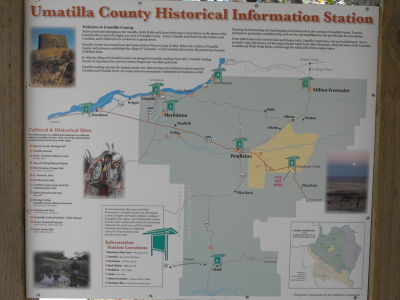
Took the quad out again Saturday to do some more riding in the Mercur/Ophir/Stockton area. My goal was to explore every side trail I could find.  
 
Even though I've been to this location at least a dozen times, I was surprised today when I found some trails that lead to new and interesting places.
 
The first new side trail was Above and just North of Jacob City. The trail climbed and climbed until it reached the peak of the mountain over Jacob City (north of). From there, a trail pressed North and would have dumped me into Soldier Canyon. Unfortunately, I had to turn around as a huge herd of bulls (horns and all) were blocking the trail, and I was in no mood to be gored by angry bulls (they were at 9800' elevation and seemed wild).


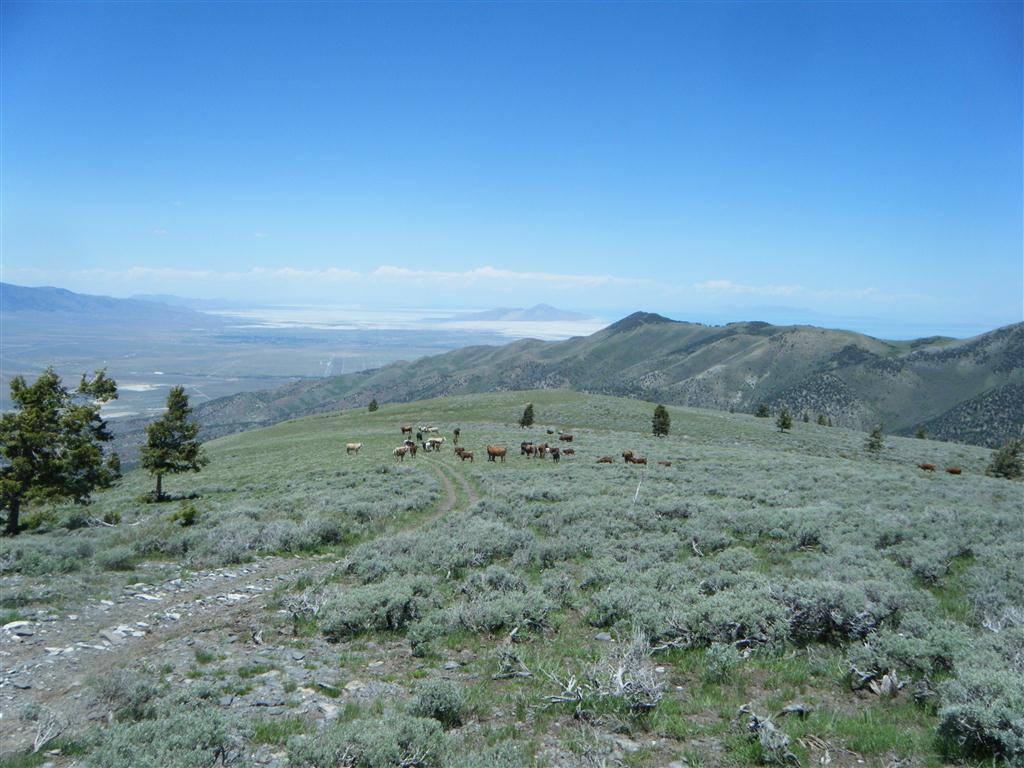
The next was N/E of Jacob City and in the neighborhood of N 40 24.034 W 112 14.720 . From this location, it would appear that I could drop all the way down to the far end of Ophir Canyon. Again, I had to turn around as a large herd of cows was blocking the trail and they refused to move.
 
While almost to Soldier Canyon, I ran into several members of the Northern Utah ATV Club (Gary & Co.). Thanks for stopping by, guys!


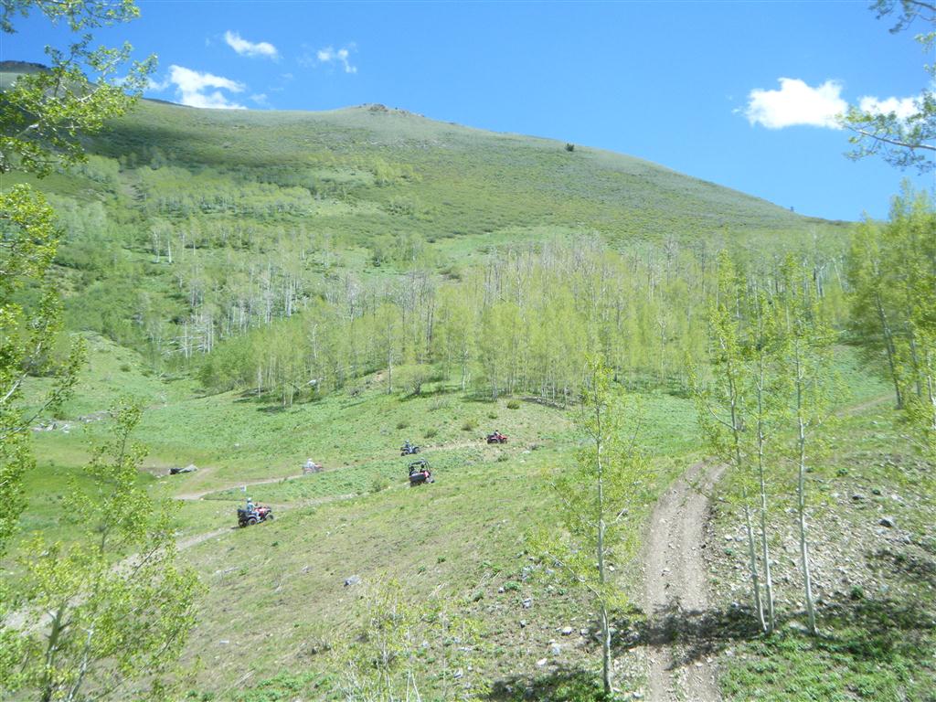
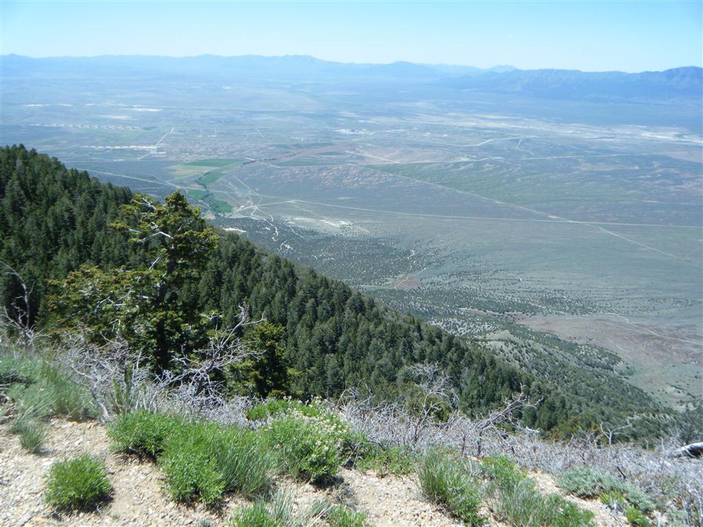
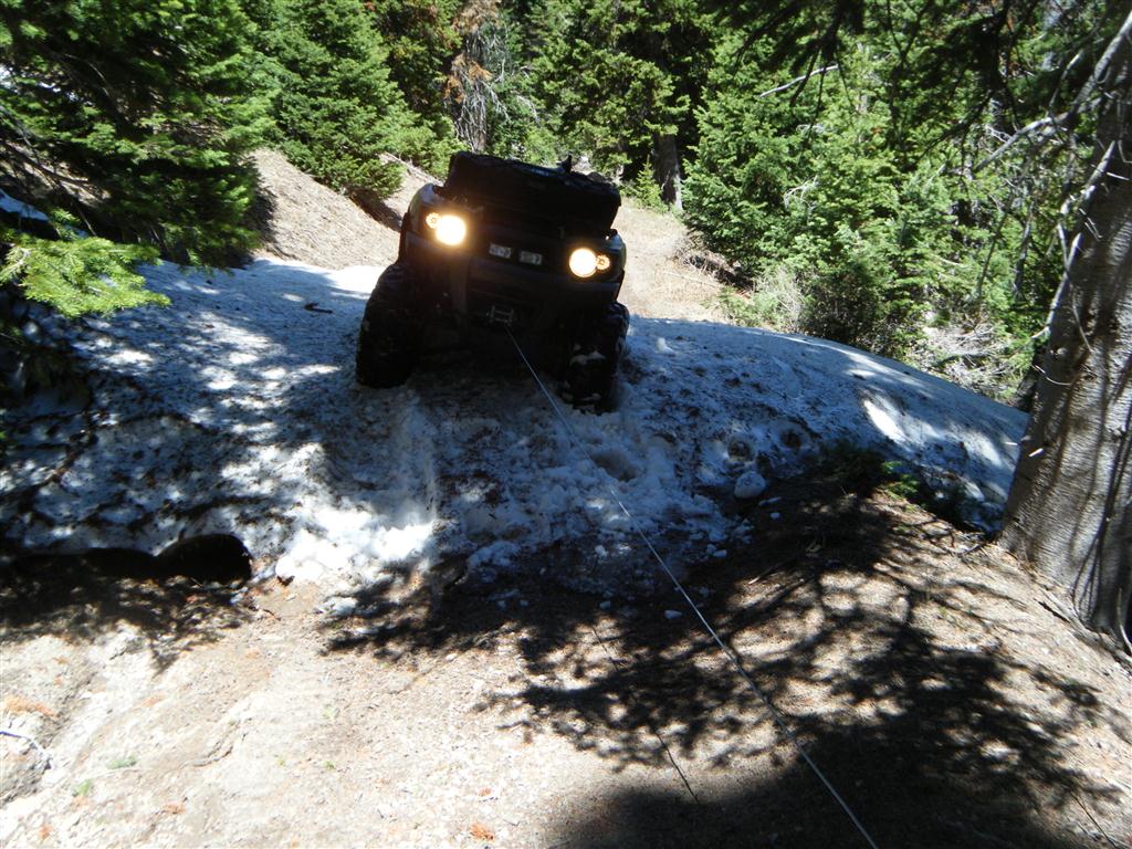
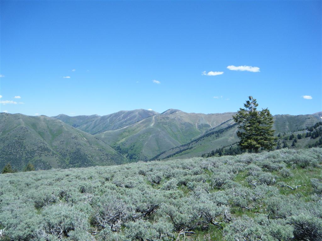
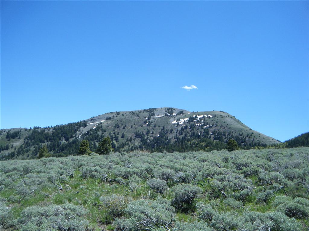
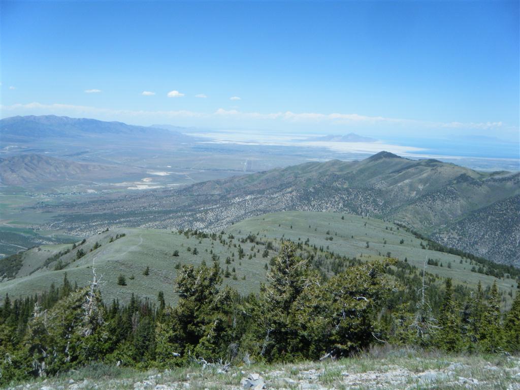
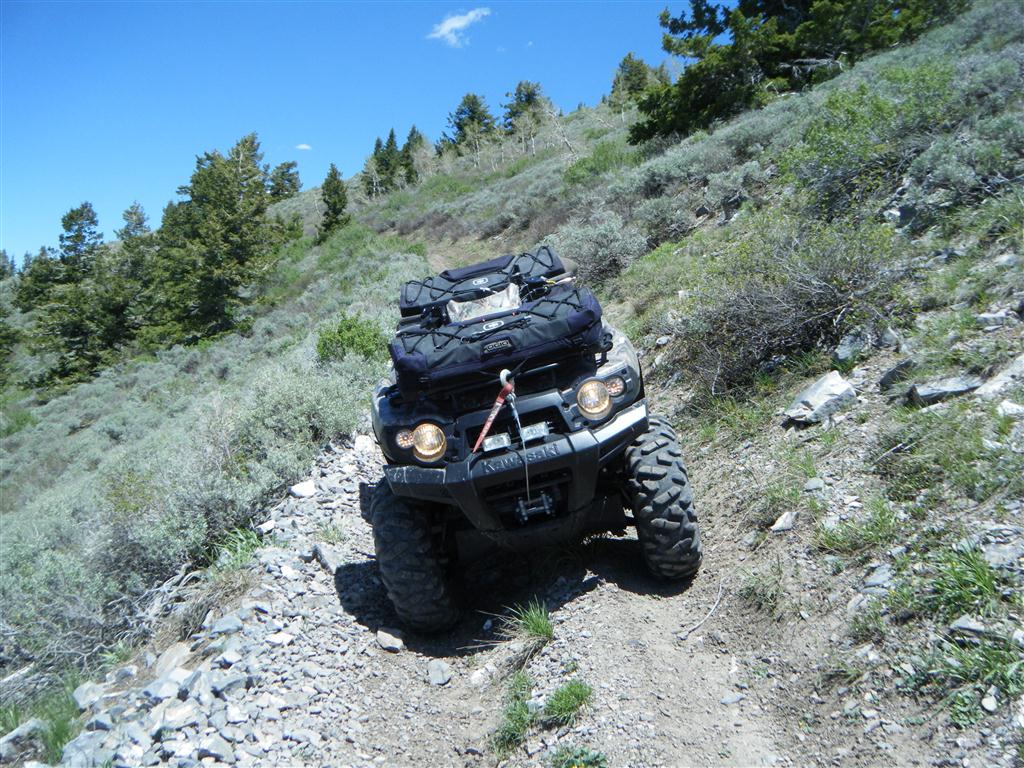
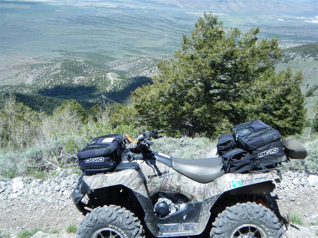
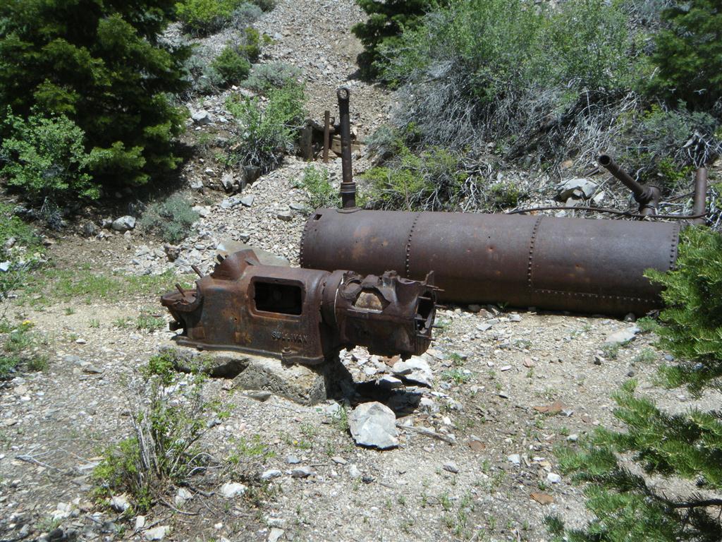
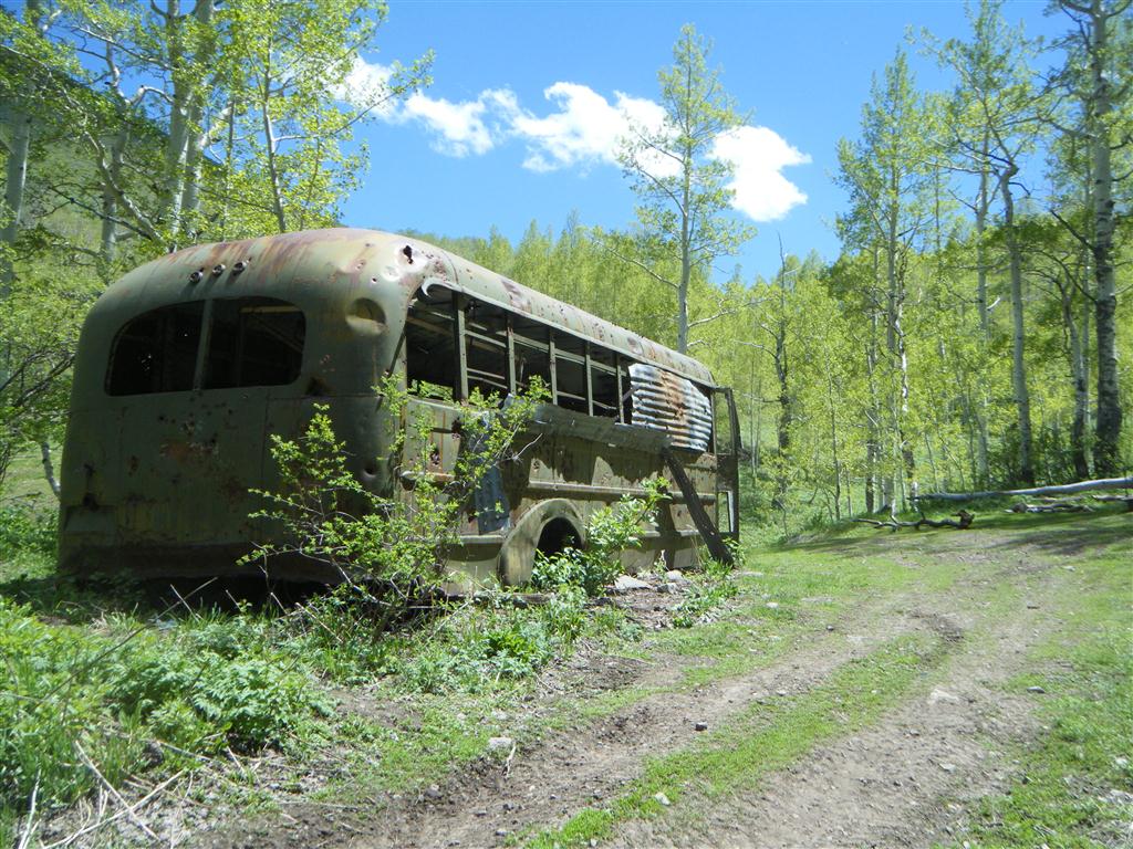
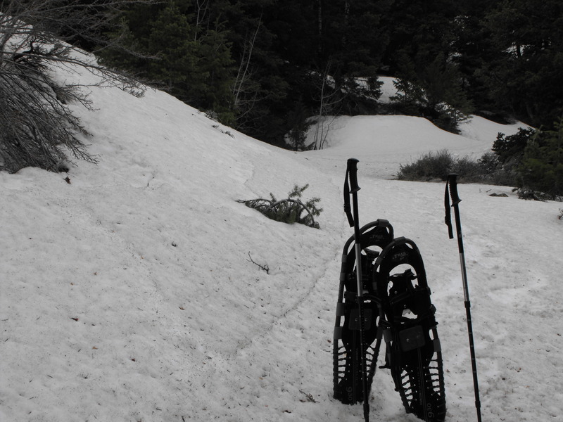
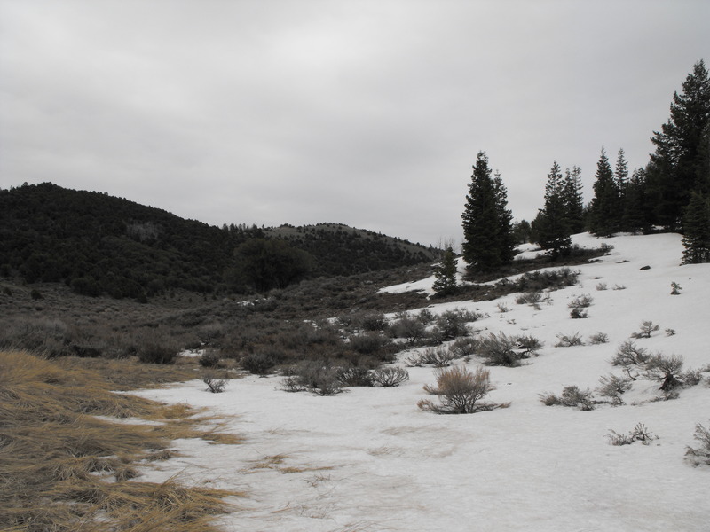
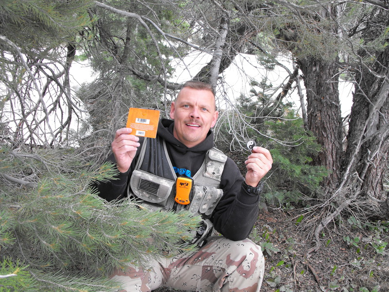
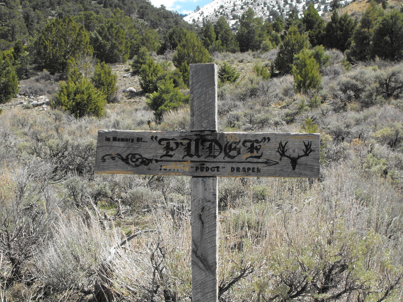
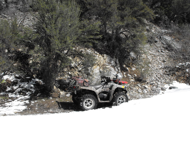
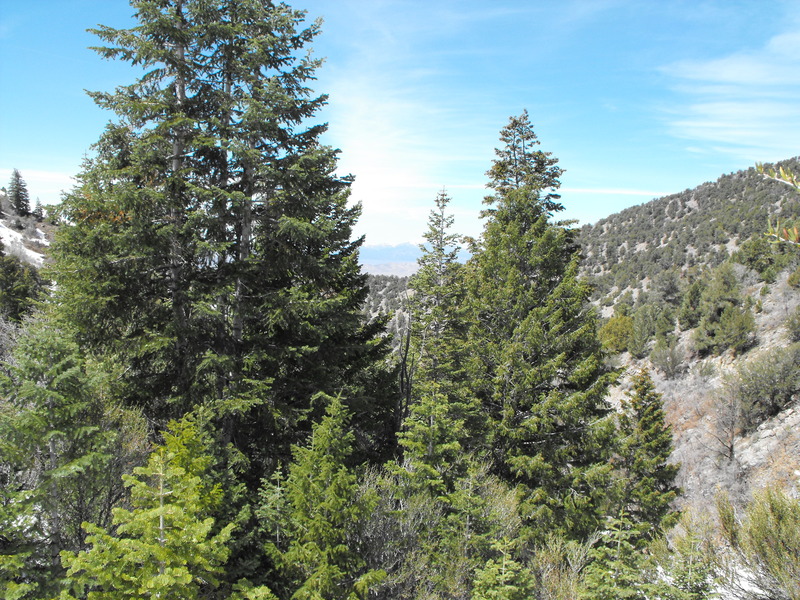
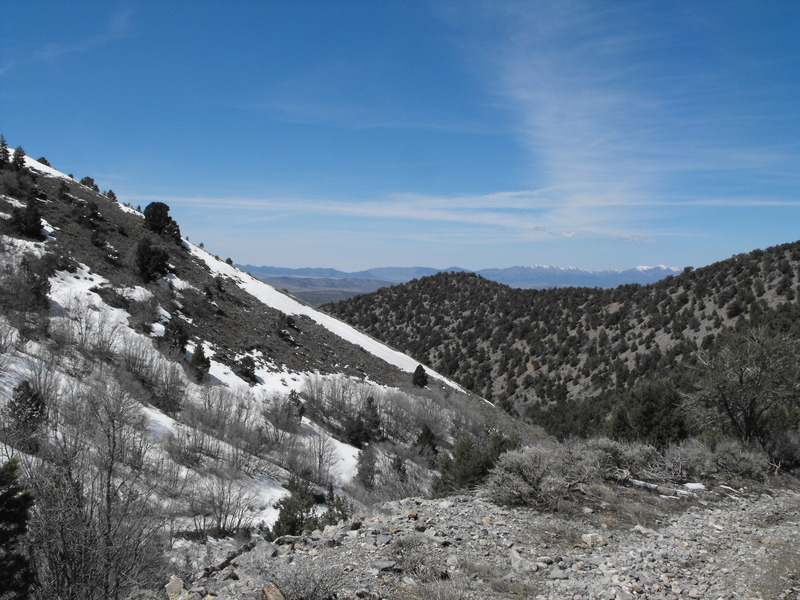
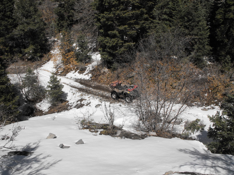
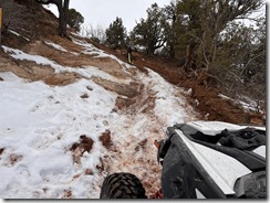
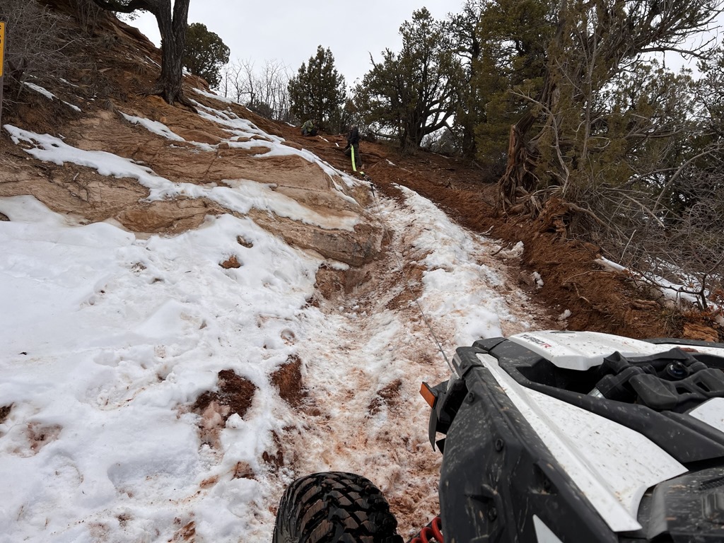
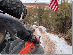
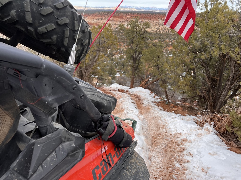
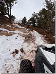
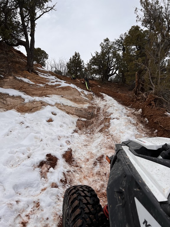
A few photos from my high elevation riding today:


There are several ways to get up there. One is along Ophir Canyon (paved road) at about: N 40 23 102 W 112 14.070. Another, which makes for a great loop is around: N 40° 20.355 W 112° 17.335 and then you could also come in from Stockton around: N 40 25.300 W 112 19.255.
 
All staging locations are very easy. It's not until you deviate from the marked trails that some of the riding gets a bit more aggressive.  
 
In fact, from the Stockton location, you could drive a regular truck most of the way up before the trail narrows to just ATV width. 


Tent, food and at least an extra 5gal. fuel required. We will cross two mountain ranges, hit elevations in excess of 12,000', encounter all manner of wildlife and have an awesome time. Who's coming along? You will need an ATV of 50" or less width.


Fillmore to Marysvale (or further).


Note: I've known for some time now that the US Military has been putting private birds into orbit. It's no surprise. Now we'll see if we get charged for GPS services.
--

View on Web

On April 1, 2010, The US Department of Defense announced its intention to give up ownership of its GPS Satellite Network, citing concerns about the mix of consumer and military traffic, and the cost to maintain the system as it experiences record growth in use.  

The GPS Satellite Mobile Phone Consortium, a group of the 24 largest telecoms worldwide, is expected to take ownership of the satellite network.  

The so-called 'GPS Satellite Mobile Phone Consortium' will combine 24 of the world's largest mobile carriers, including America Movil, AT&T, Bharti Airtel, China Unicom, Deutsche Telekom, KT, mobilkom Austria, MTN Group, NTT Docomo, Orange, Orascom Telecom, Telecom Italia, Telefonica, Telenor, TeliaSonera, SingTel, SK Telecom, Sprint, VimpelCom and WIND. The four operators in the Joint Innovation Lab (JIL) mobile apps initiative - Vodafone, China Mobile, SoftBank and Verizon Wireless - are also included.

Under the terms of the agreement, the mobile phone group will lease the satellites currently in operation and be responsible for the cost of launching any new ones. It is expected that GPS will be completely under their control by 2012. By that time, a GPS device will need to use a cellular identifier to decode GPS signals.   

Department of Defense officials declined comment on the future of the use of GPS in military applications, citing security concerns. It is speculated that the military has been launching a new satellite network strictly for its own use. 

Not all are happy with the move. High on the list of  consumer complaints is that the perception that mobile phone companies, in their typical fashion, will levy monthly fees for a GPS signal that used to be free.

In response to this criticism, the Mobile Phone Consortium stressed their intention to make the technology affordable and available to all. The Consortium itself will levy no fees for GPS use, but choices of pricing will be left to the individual telecoms.

The question comes up also of the future of GPS receivers that don't have a mobile phone component. While the number of mobile phone gps receivers has now overtaken these in number, there are still millions of these in existence. The GPS Satellite Mobile Phone Consortium says they are willing to license their technology to these manufacturers, and companies such as Garmin and Magellan may even join the consortium.    

Resistance to the idea of a mobile phone owned GPS network has gone beyond words. Programmers who preferred not to be identified announced their intention to hack the new network as soon as it was launched. If they succeed, exploits will be posted widely around the internet, with the goal of keeping the technology free for all. 

If you are concerned about this transfer of GPS ownership, add your name to those concerned by taking a short survey at this web address:

Respond to Mobile Phone Ownership of GPS


Hiding a geocache in the wild

| No Comments
I went exploring last Wednesday. Along my route, I found a great side trail that seemed ideal for an ammo-can geocache placement. I parked the ATV, inspected the area and got the GPSr situated and zero'd in.

I scampered up a small hill off the trail, found a suitable tree that would afford ample protection (from eyes and weather) and marked the spot.

Upon getting home, things got hectic and I didn't take the time to log the new hide.

Fast forward a week and I've still yet to log where I've placed my new hide. Last Sunday, I again decided to head out with Bill and erased all waypoints from my GPSr so I could load in the Ophir area.

Guess what? The location for my new hide was wiped out. Somewhere along a trail East of Bountiful sits a packed camo'd ammo can that may never be found (by me or anyone else).

Lesson learned. Post the geocache hides immediately upon getting home.


Push-up.jpg

UTAG Website (Webmaster)

| No Comments
So upon my return from vacation in late May, I discovered that I had been named a Webmaster for the UTAG (Utah Association of Geocachers) site.

Yesterday, I began the installation of the new server in preparation for cut-over from the existing hosting location in California.


Server configuration is as follows:

- IBM xSeries 335
- 2.8GHZ XEON CPU
- 5.2gb RAM
- 2x Mirrored 126gb 10k RPM U320 scsi drives
- 1.5gb SWAP, remaining EXT / volume
- Running Redhat Linux

Should be interesting to see if I can add value. I'm hoping others offer to assist in the transition.


Last week, starting Wed. afternoon, we loaded our 31' Jayco Greyhawk RV and set forth to the Seattle, WA. area.

On board was my family (wife & two sons) and my sister-in-law and her daughter. For good measure, the wife also brought the family cat -- "Rascal".

We took the standard route North/West via Boise, up through a bit of Oregon and into Washington State. Spent the night in the Boise, ID Walmart parking lot. Pretty noisy there.

Upon arrival, we got to see our new nephew, my sister's first child (Issac). All babies look the same to me. Not being PC, I said something like "nice kid" and "good job sis". Sheesh!

Went fishing in the Puget Sound with my Bro-in-Law (Rich, a Seattle FD fireman) and caught flounder (sole), rock fish (garbage) and some kind of ocean sucker fish (looked like a manta ray with big lips). Didn't have a filet knife, so the fish we kept went to waste. (sigh).

On the way home, we decided to make our route through Yellowstone, but mid-way there (and after hitting a few geocaches), I checked with the park service and they indicated heavy congestion, so I plotted a new course via the Garmin Nuvi.. about 100 miles of routing through farmland, WA and we were back on course.

A few photos from this trip:

Deadman (1).JPGDeadmans Pass

Deadman (4).JPG

Placard at Deadmans Pass
Deadman.jpg

Trish and Janet in front of the RV at Deadmans Pass
DSCF0004.JPG

Trish and baby Isaac

DSCF0015.JPG

Wild Horse Monument

DSCF0017.JPG

A view from Wildhorse monument (and geocache location)

And finally, this handsome snapshot of me asleep after coming back from Pacific Ocean fishing (dead-tired):

DSC_0056.JPG


One hell of a long drive (just over 2000 miles round trip) to do in a long weekend.

Immediately after returning, I loaded up my truck, ATV and ATV Tent/Trailer and head out to Fillmore for riding, camping and geocaching. That story coming up.


Vacation

| No Comments
So, I've been on vacation for over a week now. The first half was spent driving the family (in our 31' motorhome) to Seattle.

While there, we got to enjoy seeing my sister and brother. My sister had her first baby and was now 3 weeks into being a parent.

I also got to enjoy a bit of ocean and Puget Sound fishing.

Today, I drive out to Fillmore with my ATV and ATV Tent/Trailer to do a bit of riding and camping from Fillmore to Marysvale.

Photos and additional updates after my return or during if I can get an Internet signal.
Note: Not good! This is my primary means of off road (ATV) navigation and geocaching.
---

Mismanagement and underinvestment by the U.S. Air Force could possibly lead to the failure and blackout of the Global Positioning System (GPS), a federal watchdog agency says.

The risk of failure starts in 2010, according to the Government Accountability Office (GAO) report quoted by PC World.

The failure would impact not only military operations, but also the millions of people and businesses who rely on the satellite-based navigation systems built into cars, boats and cell phones.

"If the Air Force does not meet its schedule goals for development of GPS IIIA satellites, there will be an increased likelihood that in 2010, as old satellites begin to fail, the overall GPS constellation will fall below the number of satellites required to provide the level of GPS service that the U.S. government commits to," the GAO report states.

The report says the Air Force has struggled to build successful GPS satellites within cost and on schedule.

• Click here to read more on this story from PC World.


Since early April, we've been attempting to get up Mill Canyon / N 40° 01.518 W 112° 13.984, but the snow has just been too deep, with some drifts being 3+ feet in depth.

My main goal was to attain a geocache (not yet found) that was placed in December 2008 by Britt & Bill.

Since I enjoy riding in Mill Canyon (it dead-ends in a nice steep hill), and we also enjoying looping from Five Mile Pass / N 40° 14.221 W 112° 09.845, around the Tintic mountains, through Eureka (for a soda and fuel), through Little Moab, into 12 Mile Pass and back to Five Mile, it just made sense that I would come back every couple weeks to attempt this trail.

For the past few weeks, snow was receding at about 500'/week, but it still put me to within .5 mile of the final location (just before the Dry Lake).

So yesterday, I loaded up the ATV, extra fuel and my snow shoes, hell-bent to get to this location.

I got to within .5 miles before getting stuck in a 4' snow bank (that draped from the mountain, over the trail and down the hill). I put on the snow shoes and started hiking East toward the geocache location. The snow was quite deep for about .25 miles until it cleared and just turned into thick mud.

Mill (4).JPG

Fortunately, the geocache was not buried in snow, but was placed in a perfect area to keep it dry and accessible. The cache description indicated a First-to-Find prize, and I got it! The FTF prize was either the $10 Sportsmans Warehouse gift-card or the first ever Britt&Bill Geo-Coin.

Mill (2).JPG

Mill.jpg

Another Tintic Mountains Ride

| No Comments
Since we're going to be camping in the Jericho area next weekend (weather permitting), I decided against riding there today.

Instead, I opted for yet another Tintic mountains exploration trip.

I Parked in Little Moab, rode toward Allan Ranch, banked South, dropped into Eureka (for fuel), circled around the Tintic mountains, tried to get up Mill Canyon (no luck), placed two geocaches (in Memory of Pudge and Pudge Overlook), headed south to 12Mile and back to Little Moab.

Total mileage was around 65 miles for today.

I encountered monstrous mud, deep snow, dusty desert floor and large rocks.

At the end of the day, I came home filthy and very sunburned.

A few photos from today:

DSCF0001.JPG

DSCF0006.JPG

DSCF0007.JPG

DSCF0010.JPG

DSCF0012.JPG


 Where is James King?


Language Translation


Other Links:


 Main
 Public Trail Maps
 Archives
 CMS
 About/Contact
 Twitter @BruteForce
 Facebook
 LinkedIn
 Geocaching
 View DGP stats


My Audio & Video:


 Flickr
 YouTube
 Pandora


Elsewhere:


 ATV Utah
 Our ATV Obsession
 Bogley Outdoor Community
 ATV Escape
 Trish's Cake Shop
 Dennis Udink's Site
 Army Ranger
 Alex's World
 Grizzly Guy
 Adventure World TV
 WeatherCam: UofU
 Delta Bravo Sierra Comics  
 PowerPoint Ranger Comics
 Reversaroller ATV Winch

March 2022

Sun Mon Tue Wed Thu Fri Sat
    1 2 3 4 5
6 7 8 9 10 11 12
13 14 15 16 17 18 19
20 21 22 23 24 25 26
27 28 29 30 31    

Recent Photos

About this Archive

This page is an archive of recent entries in the Geocaching category.

Funny Stuff is the previous category.

Hiking and Climbing is the next category.

Find recent content on the main index or look in the archives to find all content.