Recently in Hiking and Climbing Category

Moab in February

| No Comments

DSCN0063DSCN0064DSCN0065

For the past few years, we've tried to remedy our cabin fever by either heading to Logandale, Nevada or some other warm destination. This year, the wife (Trish) and I decided that we'd head to Moab for a relaxing weekend.

What we discovered was that Moab really doesn't open for business until the 20th of February. Virtually none of the stores were open for business and the restaurant prices were double their normal cost (Bucks Steakhouse was asking $32 for a 13oz steak - based on their "Winter Menu" ).

Via Groupon, we secured a reservation a the Sunflower Hill Inn (Bed & Breakfast)). The room and location were perfect. Our room (The Sunset Suite) had an awesome balcony facing East.

DSCN0066DSCN0067DSCN0068DSCN0069DSCN0070

We got settled in, explored the area (by truck) for a bit then went on the search for dinner. We settled on Buck's Steakhouse (because there are only two food groups as far as I'm concerned: Steak and Meat).

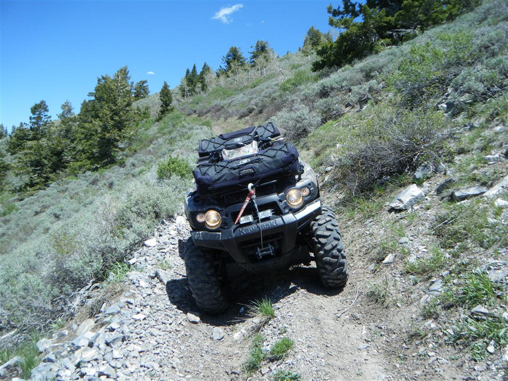
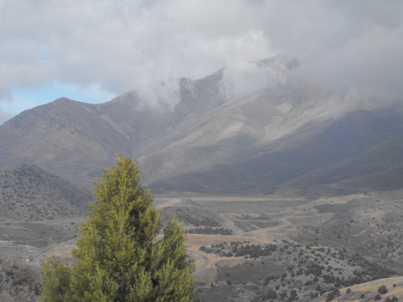
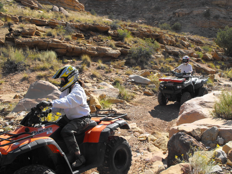
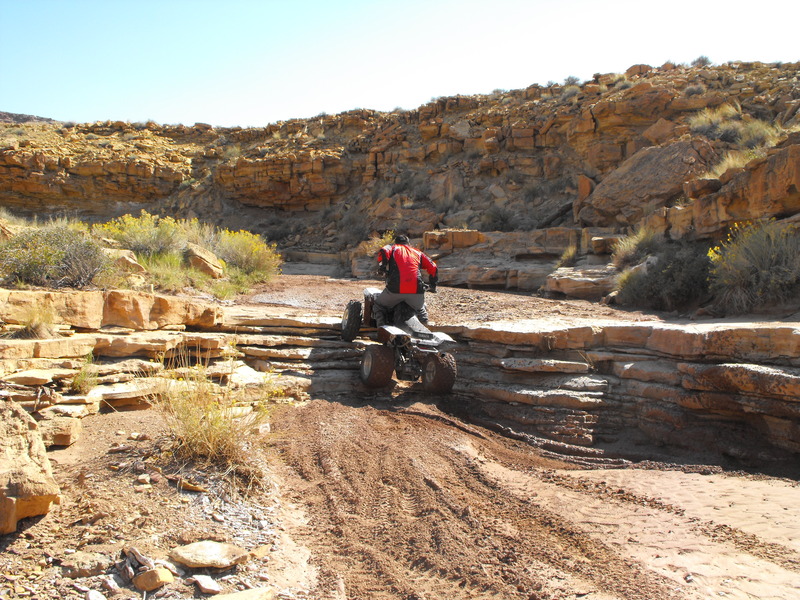
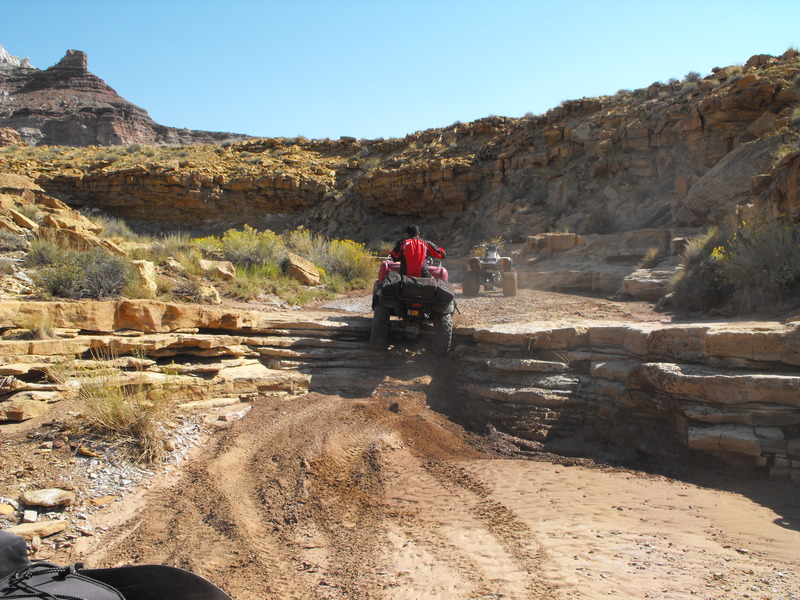
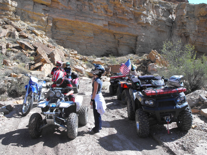
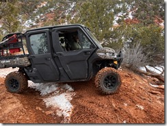
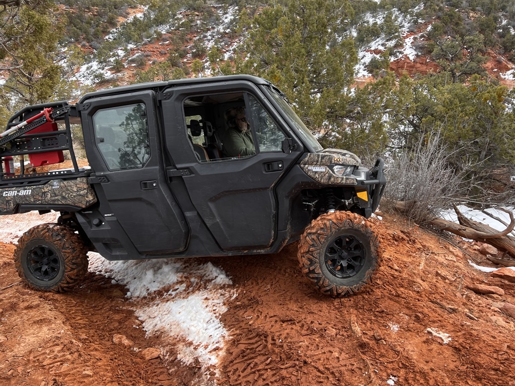
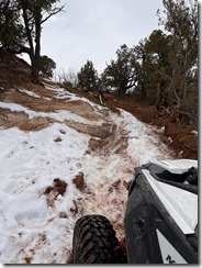
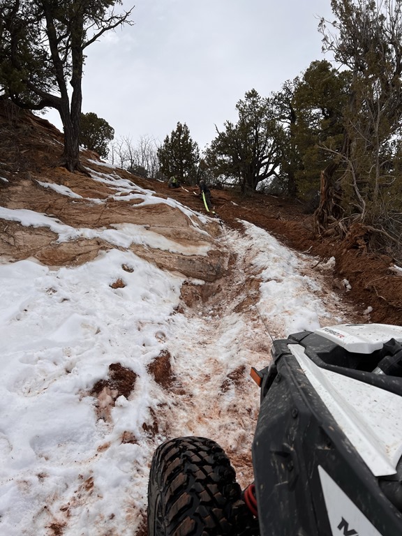
The next morning (Saturday) the temperature was only 32F, so we decided we'd find a location to hide the "Bogley Stash". I determined that the area around Fins -n- Things, Poison Spider, etc. would be a great location. Off we went in the dually to 4wheel our way through the park. I found an easy enough location to stash the ammo-can and back to town we went.

DSCN0075DSCN0076DSCN0077DSCN0078DSCN0079DSCN0080

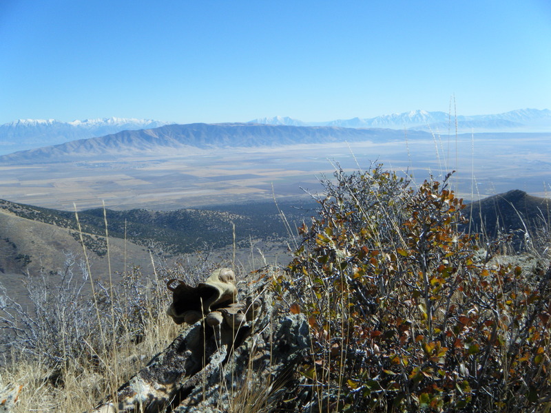
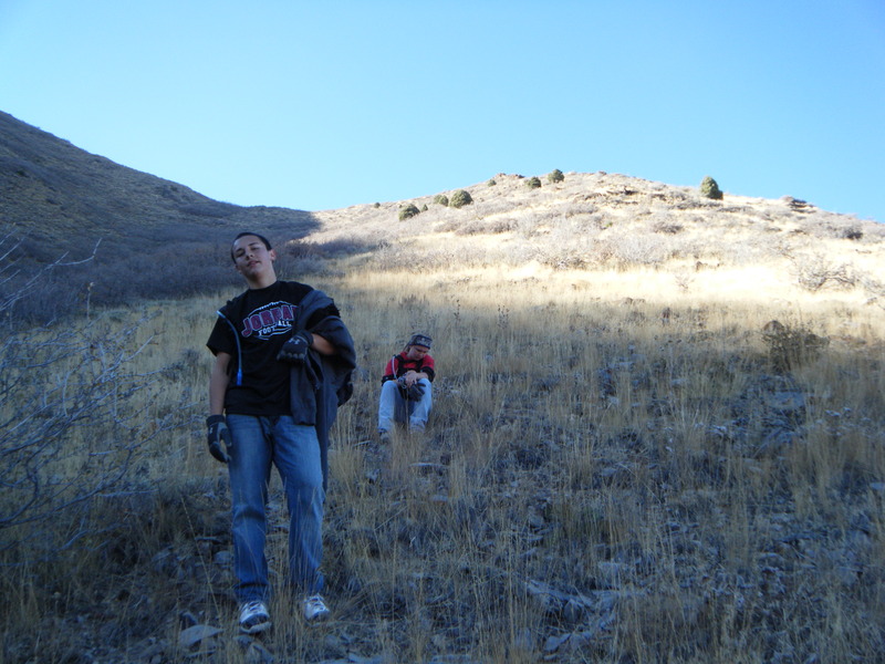
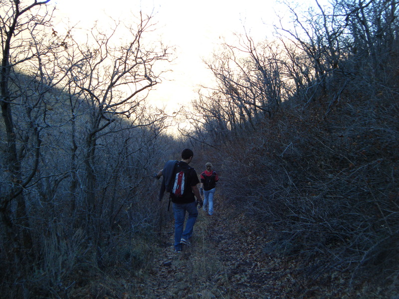
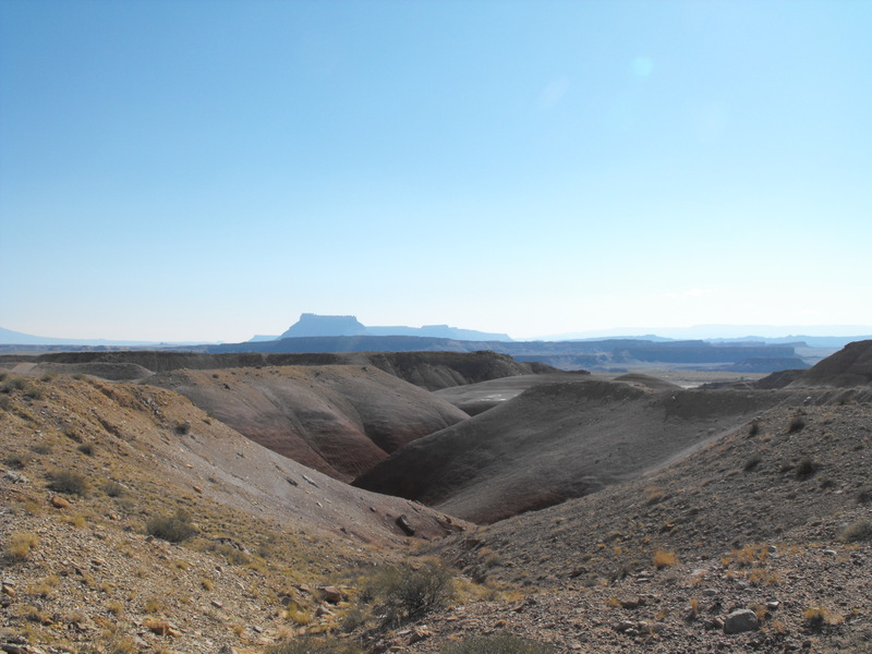
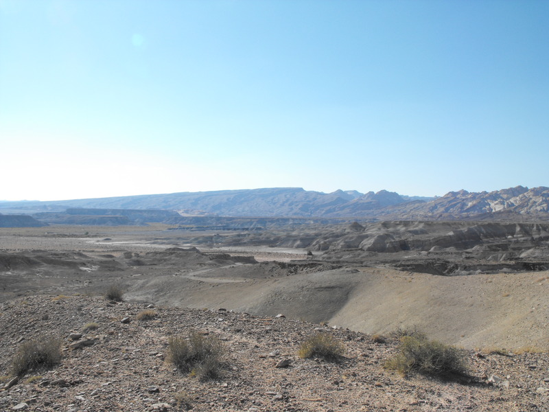
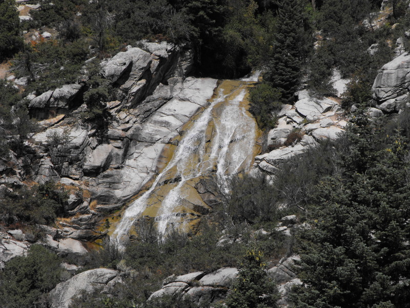
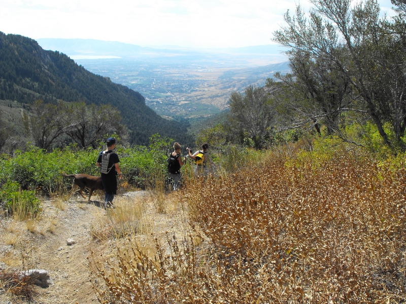
Once temperatures started to warm, we decided to go in search of hiking opportunities. Our first stop was Corona Arch (now made famous by a viral video found here). The hike in was an easy 2 mile rock and ladder crawl. Fortunately, we arrived before what must have been a school-bus unloaded a ton of kids.DSCN0104

DSCN0086DSCN0087DSCN0088DSCN0089DSCN0090DSCN0091DSCN0092DSCN0093DSCN0094DSCN0095DSCN0096DSCN0097DSCN0098DSCN0099DSCN0100DSCN0101DSCN0102DSCN0103

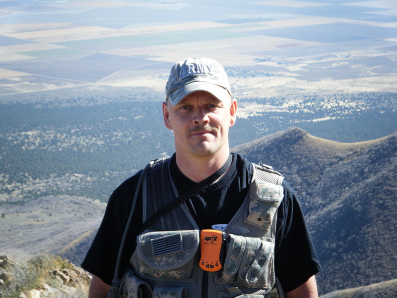
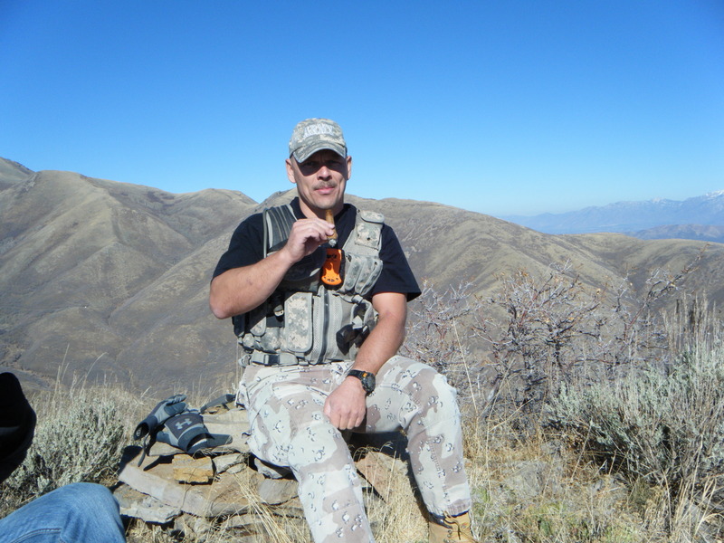
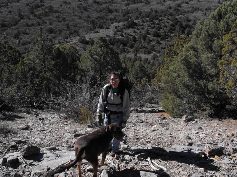
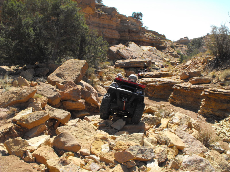
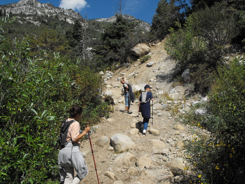
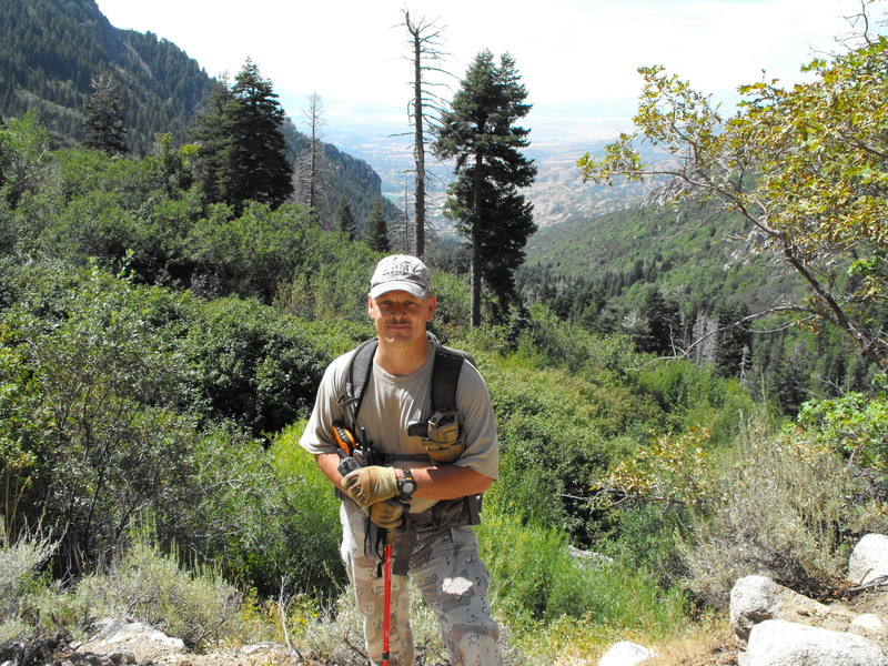
We hiked back to the truck and went into town for a quick lunch (thanks, Eddie McStiff's!). Once lunch had settled, we agreed to head to the Moab Rim trailhead. This trail is mostly used by huge rock crawlers and less so by hikers (due to the vast amount of rocks that need to be traversed). The hike up was about 2-3 miles of straight vertical gain; Trish really struggled with this hike and asked me repeatedly if I was trying to kill her.DSCN0119

DSCN0105DSCN0106DSCN0107DSCN0108DSCN0109DSCN0110DSCN0111DSCN0112DSCN0113DSCN0114DSCN0115DSCN0116DSCN0117DSCN0118

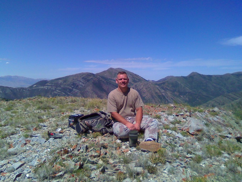
About half-way to the top of this hike, I placed my 123rd geocache hide in a small outcropping of rocks.

The hike back down was grueling. Gravity wanted to tear our toes off, but we obviously managed to make it back down.

DSCN0084DSCN0085

Back to the B&B we went to change, clean-up and inspect the nearby hot-tub.  With a bottle of red wine in hand, we enjoyed the hot-tub, clear star-lit sky until at least 11pm.

What a great escape. We'll definitely be doing this trip again later in the year (but this time, with our two boys).


Unfortunately, the drive home was pretty hairy. The route from Price to I-15 (about 80 miles) was snow packed, slick and hadn't seen a snow plow. I had my helmet cam nearby, so I put it on and started filming. The drive home:


Enhanced by Zemanta
Took the quad out again Saturday to do some more riding in the Mercur/Ophir/Stockton area. My goal was to explore every side trail I could find.  
 
Even though I've been to this location at least a dozen times, I was surprised today when I found some trails that lead to new and interesting places.
 
The first new side trail was Above and just North of Jacob City. The trail climbed and climbed until it reached the peak of the mountain over Jacob City (north of). From there, a trail pressed North and would have dumped me into Soldier Canyon. Unfortunately, I had to turn around as a huge herd of bulls (horns and all) were blocking the trail, and I was in no mood to be gored by angry bulls (they were at 9800' elevation and seemed wild).


The next was N/E of Jacob City and in the neighborhood of N 40 24.034 W 112 14.720 . From this location, it would appear that I could drop all the way down to the far end of Ophir Canyon. Again, I had to turn around as a large herd of cows was blocking the trail and they refused to move.
 
While almost to Soldier Canyon, I ran into several members of the Northern Utah ATV Club (Gary & Co.). Thanks for stopping by, guys!


A few photos from my high elevation riding today:


There are several ways to get up there. One is along Ophir Canyon (paved road) at about: N 40 23 102 W 112 14.070. Another, which makes for a great loop is around: N 40° 20.355 W 112° 17.335 and then you could also come in from Stockton around: N 40 25.300 W 112 19.255.
 
All staging locations are very easy. It's not until you deviate from the marked trails that some of the riding gets a bit more aggressive.  
 
In fact, from the Stockton location, you could drive a regular truck most of the way up before the trail narrows to just ATV width. 


Over Memorial weekend, we made the 5 hour journey South-East (30 miles from the Colorado border), just off I-70 at exit 131. Our goal was to enjoy a new section of the San Rafael Swell (the Swell) and camp along the North side, instead of our usual location near Temple Mountain and Goblin Valley. The North side is chock full of great off roading adventures, to include :The Devils Racetrack, Buckhorn wash/draw, Head of Sinbad and many others. The most enjoyable and challenging area of riding was easily the Devil's Racetrack. Although I knew about this location, we didn't plan on riding it until we stumbled upon the trailhead. With us were my 15 year old son (Alex), my 12 year old son (Nick), my nephews (Zach, Skyler), my neice (Megan) and my brother-in-law and his friend Jeff. I decided to ride up for the first 3 miles or so to determine if the kids could make it. There were a few rugged stair climbs and slick rock sections, but after that, it seemed to level out. I turned around and indicated that we could probably get the entire group up. What a mistake that was... A few photos from the trip:

Camp


DSCF0210

This guy was stinking up the area and completely blocking the trail. I had to winch him off the trail.

Underneath him were frogs, apparently eating away at the underside of this sheep. Carnivorous frogs?

DSCF0213

Our first planned ride and Zach’s machine blows out the CVT belt less than 2 miles from camp!

DSCF0215

The “Head of Sinbad”

DSCF0216

Rest break along Coal Wash:

DSCF0239

One of the many natural arches we encountered:

DSCF0240

Zach and GF climbing the rock pile.

DSCF0226

Spectators at the top of the Devils Racetrack.

DSCF0247

Note: I've known for some time now that the US Military has been putting private birds into orbit. It's no surprise. Now we'll see if we get charged for GPS services.
--

View on Web

On April 1, 2010, The US Department of Defense announced its intention to give up ownership of its GPS Satellite Network, citing concerns about the mix of consumer and military traffic, and the cost to maintain the system as it experiences record growth in use.  

The GPS Satellite Mobile Phone Consortium, a group of the 24 largest telecoms worldwide, is expected to take ownership of the satellite network.  

The so-called 'GPS Satellite Mobile Phone Consortium' will combine 24 of the world's largest mobile carriers, including America Movil, AT&T, Bharti Airtel, China Unicom, Deutsche Telekom, KT, mobilkom Austria, MTN Group, NTT Docomo, Orange, Orascom Telecom, Telecom Italia, Telefonica, Telenor, TeliaSonera, SingTel, SK Telecom, Sprint, VimpelCom and WIND. The four operators in the Joint Innovation Lab (JIL) mobile apps initiative - Vodafone, China Mobile, SoftBank and Verizon Wireless - are also included.

Under the terms of the agreement, the mobile phone group will lease the satellites currently in operation and be responsible for the cost of launching any new ones. It is expected that GPS will be completely under their control by 2012. By that time, a GPS device will need to use a cellular identifier to decode GPS signals.   

Department of Defense officials declined comment on the future of the use of GPS in military applications, citing security concerns. It is speculated that the military has been launching a new satellite network strictly for its own use. 

Not all are happy with the move. High on the list of  consumer complaints is that the perception that mobile phone companies, in their typical fashion, will levy monthly fees for a GPS signal that used to be free.

In response to this criticism, the Mobile Phone Consortium stressed their intention to make the technology affordable and available to all. The Consortium itself will levy no fees for GPS use, but choices of pricing will be left to the individual telecoms.

The question comes up also of the future of GPS receivers that don't have a mobile phone component. While the number of mobile phone gps receivers has now overtaken these in number, there are still millions of these in existence. The GPS Satellite Mobile Phone Consortium says they are willing to license their technology to these manufacturers, and companies such as Garmin and Magellan may even join the consortium.    

Resistance to the idea of a mobile phone owned GPS network has gone beyond words. Programmers who preferred not to be identified announced their intention to hack the new network as soon as it was launched. If they succeed, exploits will be posted widely around the internet, with the goal of keeping the technology free for all. 

If you are concerned about this transfer of GPS ownership, add your name to those concerned by taking a short survey at this web address:

Respond to Mobile Phone Ownership of GPS


Updated 31 October 2009:

Our SPOT and Garmin Tracks:
Hike to 8250.gdb 
8250.jpg

So at 0930, Megan (niece), Skyler (nephew) and I arrived in the approximate area of our hike. I had to park 1.3 miles away because the dense growth of oak trees were really scratching my truck up.

We geared up (Camelbaks, shoes, gloves, etc) and started the ascent. We had spotted a ridge line that we thought we be favorable for reaching the summit. From almost 2 miles away, it looked like a leisurely climb. Boy, were we wrong!

DSCF0002.JPG


Even the walk to the first ascent was difficult. We had to literally beat our way through large thickets of oak trees and scrub. The scratches were starting already and we hadn't really even begun to climb yet.

I convinced the kids (ages 15 and 16) to continue forward and that we'd take our first break at the approach to the first ridge line. They looked tired already.

DSCF0004.JPG


At this point, it was clear that the climb up was going to be more difficult than it originally appeared (from the Truck's vantage point). Told the kids to suck it up and off we went.

DSCF0008.JPG

We came to a large outcropping of rocks. They cleared couldn't be bypassed and could only be passed by walking right over the top. One wrong step and it would have been pain. We made it past and continued to our first ridge line. Quick break for the kids. Tie shoe laces, eat a power bar and press forward.

DSCF0010.JPG
By now, its already 2:30pm and we still have one more ridge line to hike up. This one being steeper than the others. Again, I urge the kids forward and we continue to climb up - knowing that the peak was a mere 400' above us.

SUCCESS! We reach the summit around 3:30 and take a well deserved rest. I brought along a favorite cigar and proceeded to chomp..

DSCF0013.JPG


DSCF0022.JPGDSCF0023.JPG
At this point, we had to decide where to make our descent. Clearly, going back down would be more difficult than going up. Two hilltops South, we could see what looked like an ATV or horse trail going half-way up the hill. From our vantage, it appeared as though that would be the best location to make the descent.

By now, the sun was starting to set behind the mountains (it was now around 5pm) and we made it to a ravine at the bottom of our first descent. What we couldn't see from the top however, was that this ravine was a 10' drop down and another 50' climb up. The only way to do it safely was by holding onto whatever saplings would hold our weight.

Megan went sliding straight down, filling her backside (and pants) with dirt, tree debris and rocks. Clearly not the best tactic for getting into the ravine. Skylar and I made it down without issue.

By now, everyone was tired and looking forward to finding the ATV trail.

Off to our right and fairly close was the "bleet bleet" of either an Elk or a mountain lion. The kids were getting nervous.

Fortunately, after busting through a huge thicket of oaks, we found the trail and started our hike back to the truck (another 2-3 miles away and down hill).

DSCF0025.JPG
DSCF0027.JPGThe drive back down Pole Canyon (in my Dodge Ram 2500) proved to be just as difficult as the hike. In a few locations, the trail was so rutted out and covered with 2-3' boulders that my truck was up on 2 tires, teeter-tottering side to side.

It was a long day of hiking, but everyone was glad our objective was met.

----------------

Since November of 2007, I've been trying to reach the ridge line in this area. Each time we (with and without the wife and/or dog) have tried to get up here, we've either hit the wrong ridge line or encountered trees and growth that were virtually impassable.

Now that fall is coming to an end, I believe there will be less vegetation to impede our ascent. If the weather holds this weekend (no snow or rain), I will make a final attempt for this year.

Total elevation gain is around 4000', virtually straight up and without any trails. This is 100% pure bush-wacking and peak bagging.

A few photos from our last attempt (Wife and dog Gauge):

trish1.jpg


DSCF0029.JPG

0823081256a.jpg


San Rafael Swell - Goblin Valley Area

| No Comments
Without much planning, the family packed up the RV and ATV's and joined a caravan of friends and family en route to the San Rafael Swell.

Our destination was Temple Mountain Road. We've camped here a few times already within the last 2 years and this location never disappoints. While still quite warm outside, once into the canyons, you were comforted by shade.

Some of our group decided to pursue slot canyons and hiking while the rest of us wanted to further explore the trails and areas between "Behind the Reef", "Temple Mountain", "Lil Wild Horse" and areas around those locations.

Although we left home around 4:30pm, we didn't arrive in the reef until late that evening. In the dark, I drove slowly with a flashlight out the window trying to identify camping locations that would accomodate 2x 31-34' RV's w/trailers and one truck with a bumper-pull camper.

Our camp spot:
DSCF0111.JPG


View from our camp spot - Temple Mountain:
DSCF0112.JPG
For the first time, my oldest had an interest in taking my 2005 Brute Force 750i for a ride. He's not ridden much, so I was worried the machine might be too much for him (even though he's 15). I gave him some guidance on how to ride, control power, switch into L or 4WD and off we went.

Wife and son riding down the trail:
DSCF0114.JPG


We decided to explore a dry wash just opposite our camp location. According to our map, the wash would take us toward additional trails.

3 miles of riding took over 2 hours along this very washed out trail. Not only were there plenty of fun obstacles, but my nephew's 2stroke sport quad kept stalling, he killed the battery and I need to tow him to drop the clutch (to start the machine).

One of the obstances: The Steps:
DSCF0117.JPG
Between my brother-in-law Kenny (pictured above) and I, we managed to get all the machines over without actually needing to use a winch.

DSCF0119.JPG

DSCF0120.JPG

Above, the wife was thinking about trying to take her 2wd Honda 350 over the top, but eventually backed out and I rode it up without use of the winch cable.

DSCF0121.JPG

Next up was my son's BF750i. It just about sailed over the top with very little effort:

DSCF0123.JPG


Further along the trail were even more obstacles. These came in the form of boulders and tree debris lining the entire length/width of the trail.

In some spots, it was just boulders making the trail narrow:

DSCF0126.JPG

DSCF0127.JPG

DSCF0128.JPG

Many times along the trail, we took a brief rest-break to allow the machines (and people) to cool:
DSCF0129.JPG


Some of the landscape in this area was desolate and looked like it could have been on the moon:

DSCF0136.JPG

DSCF0137.JPG


Along the trail, we found another washed out section. This time, it was a stretch of about 20' of boulders climbing to about 4' in height. I decided to ride up and over to inspect the trail to ensure it was passable by the rest of our crew:

DSCF0131.JPG

DSCF0132.JPG

Unfortunately for our group, this rock pile appeared to be as far as we could safely take our group. We turned around, went back down the many obstacles and proceeded to find another trail that took us a good 60+ miles around the area.

DSCF0148.JPG


We rode behind the reef, around Lil Wild Horse and toward Muddy Creek. Some of the dry washes we encountered contained standing water which made for some thick mud and smelly riding.

Eventually, we circled back around toward Temple Mountain where we encountered a couple in a Landcruiser, apparently very lost and unsure of the terrain they were about to drive on. We showed them our map, told them the trail would be tricky but passable and continued up toward Temple Mountain.

DSCF0150.JPG

DSCF0155.JPG


By 3pm on Sunday, we had completed our riding and were back at camp. We took a break, had some fresh salsa and packed up camp.

I started the drive out, with the caravan wanting to head back home through Price (instead of through Salina/Gunnison). The wife told me I had to go West (instead of East as my Navigation system was instructing), taking us about 100 miles out of our way.

We still went through Price (via Price/Loa exit) and again got misdirected and drove through the back areas of Price, eventually making our way back to the freeway.

All-in-all, yet another excellent weekend exploring and enjoying Utah!
On Sunday (day before Labor Day), the entire family (+ niece Megan and dog Gauge) took off to Alpine.  In the corner of that quiet, but very luxurious community lies a trail head that climbs for well over 3000' in elevation gain to the top of Lone Peak.

The trail head begins at: Dry Creek Trailhead

DSCF0056.JPG


From this location, the trail just climbs continuously, while going through pine, aspen and to our surprise - lush fern covered areas of trail.

About .38 miles up the trail, the family was already winded and stopped for a leg/breathing break.

DSCF0033.JPG


I convinced the family to keep moving and off we went, more upward climbing. At this point, we had already attained an elevation gain of 800'. The trail wanders through dense areas of trees and open spaces consisting of large boulders. (Read: HOT areas).

DSCF0036.JPG


Our goal was to hike at least 3-5 miles to an open spot at the top. This location affords both shade and areas to sit and enjoy a late lunch.

Along the way, we hit several geocaches that I had bagged in 2007.

DSCF0037.JPG

DSCF0040.JPG


Crossing the trail (closer to the top) was an awesome creek. The water runs fast and cold. Our dog Gauge really seemed to enjoy and appreciate the frequent creek crossings. As indicated in the photo above, there were also many water falls along the trail.

DSCF0043.JPG

DSCF0044.JPG


At the top, it was evident that everyone was exhausted. We found our sheltered area and broke out the food. In my pack (now weighing about 60 pounds) were several bottles of water (for the dog), several cans of stew, Vienna sausages and other delicacies.

DSCF0047.JPG


After resting up, enjoying the running creek and our lunch, we packed up and started the journey back down. Everyone was excited to walk downhill, but the excitement soon became reality when the group discovered that going downhill isn't as easy as it seemed it  should be. Loose rock and steep locations made for tricky footing and many in our group fell more than once.

DSCF0049.JPG

DSCF0055.JPG

Last year, I embarked on a two day adventure to place a 5x7' flag atop the Tintic Mountains, just about at the junction between Tooele, Juab and Utah counties.

I received several messages in support of and against the idea and it's execution. Those in support thought it was a symbolic and patriotic endeavor, while those against proclaimed that I was littering the wilderness.

After a day, I returned to recover the flag, pole and dispose of the cement that I used to secure the pole to the ground.


.

My decision to remove the flag was not due to any environmental concerns, but more out of concern that my flimsy PVC pole would snap (it's windy up there), leaving the flag to go flying down the mountain.

Once the snow melts up top, I'm contemplating a wooden or aluminum pole permanently affixed to the mountain top, with regular flag inspections on a ~ quarterly basis.

Good idea, bad idea or stupid idea? Thoughts?


Is this location still open to motorized vehicles? Approximate GPSr coordinates to the trail head are: Mineral Fork

We've been up in this area a couple of times, both hiking and ATV'ing. The last time we were up there, we rapelled to the top of the mountain at the very end of the canyon and had a spectacular view to all directions.

DSC07131.JPG
DSC07136.JPG


What an outstanding area to hike, climb, geocache in. Seeing these photos again made the case of Spring fever even worse. It's been two weekends now without any real outdoor activity. This past weekend (on Saturday), we celebrated my youngests 11th birthday by taking him and 8 friends to the park for a couple hours of Airsoft war.

On Sunday, a storm front came in, with temps. dropping quickly below freezing, making any chance of outdoor fun out of reach.

DSC07142.JPG


Weather forecasts are indicating that this week and weekend are going to be the same as the past two. It doesn't snow enough to allow me to snowshoe and snows just enough to make things a muddy/slushy mess and that's no fun for hiking and ATV'ing!

ARGH!

Note: I don't yet know what the total impact of this is to those of us that ATV/4wd and enjoy the trails. The AP has simply stated that the impact to Utah is


Utah:

_Protect more than 250,000 acres of wilderness in and near Zion National Park.

----

In what's being called the most sweeping land protection law in a quarter century, the US House of Representatives Wednesday passed a conservation plan to set aside more than 2 million acres of desert and forest in nine states.

The Omnibus Public Lands Management Act, which cleared the Senate last week, was approved by a margin of 285 to 140 and has been sent to President Obama for his signature.

The bill would officially designate land in California, Colorado, Idaho, Michigan, New Mexico, Oregon, Utah, Virginia, and West Virginia as wilderness. That means no logging, mining, drilling, or even vehicles.

The Associated Press details the provisions by state. They include setting aside more than 450,00 acres of wilderness near Santa Clarita, Calif., and along the California-Nevada border, nearly 250,000 acres of Colorado's Rocky Mountain National Park, 517,000 acres in Idaho's Owyhee Canyonlands, and more than 250,000 acres of wilderness in and near Utah's Zion National Park.

Environmentalists are hailing the measure. Upon passage of the bill, this blogger's email inbox was flooded with press releases.

William H. Meadows, president of The Wilderness Society was quoted as saying:

"This is a monumental day for wilderness and for all Americans who enjoy the great outdoors. With passage of this bill, Congress has made a great gift to present and future generations of Americans. These special places make our communities better places to live, clean our air and water for free, and provide ecological resilience in the face of climate change. They're also great places to hike and camp and fish with family and friends, of course."

And here's Dave Jenkins, director of government affairs for Republicans for Environmental Protection:

"This bill is the most important conservation legislation that Congress has passed in many years. We are especially pleased that 38 Republicans from all parts of the country supported this bill. It's a powerful demonstration of the good that can be accomplished for our country when Republicans return to their roots as the party of conservation."

Of course, not all were thrilled about the bill. The AP notes that opponents of the measure, mostly Republicans, called the bill a "land grab."

The news agency quotes Rep. Doc Hastings, a Washington Republican who argued that the bill would deprive the US of much-needed energy development.

"Our nation can't afford to shut down the creation of jobs for jobless Americans, and we can't afford to become even more dependent on foreign sources of energy," Hastings said.

The bill "even locks up federal lands from renewable energy production, including wind and solar," he said.


 Where is James King?


Language Translation


Other Links:


 Main
 Public Trail Maps
 Archives
 CMS
 About/Contact
 Twitter @BruteForce
 Facebook
 LinkedIn
 Geocaching
 View DGP stats


My Audio & Video:


 Flickr
 YouTube
 Pandora


Elsewhere:


 ATV Utah
 Our ATV Obsession
 Bogley Outdoor Community
 ATV Escape
 Trish's Cake Shop
 Dennis Udink's Site
 Army Ranger
 Alex's World
 Grizzly Guy
 Adventure World TV
 WeatherCam: UofU
 Delta Bravo Sierra Comics  
 PowerPoint Ranger Comics
 Reversaroller ATV Winch

March 2022

Sun Mon Tue Wed Thu Fri Sat
    1 2 3 4 5
6 7 8 9 10 11 12
13 14 15 16 17 18 19
20 21 22 23 24 25 26
27 28 29 30 31    

Recent Photos

About this Archive

This page is an archive of recent entries in the Hiking and Climbing category.

Geocaching is the previous category.

Hunting is the next category.

Find recent content on the main index or look in the archives to find all content.