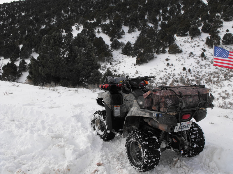
I've now been asked several times to provide coordinates for a solid ride in the Five Mile Pass area. Here's an excellent route that doesn't see too much traffic.
Stage your vehicle and unload in this area:
Staging Area
Then start riding North/West until this location:
Pre-Wash
If you're into geocaching, bag this cache location, sign the log and continue north through the dry wash until you reach:
Out the wash
Get back (slightly North/East) onto the main dry wash and proceed North to this point:
a new car (note this geocache was disabled due to vandalism)
From this location, the cache is on a fairly decent grated dirt/rock trail, but starts to wind uphill and become a bit more challenging. Continue up the hill and park at the top to find this location:
Treasure Chest Cache
Now, proceed along the slightly used trail to the East and proceed up the hill. At this point, you may want to consider being in 4wd as the trail will climb aggressively for several points for the next 3-5 miles (depending on how experienced a rider you are). Continue along the trail to this point:
Coyote Hill
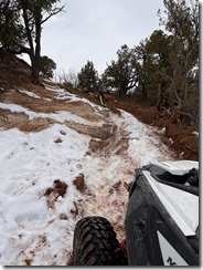
Just for good measure, check your tires for any punctures or rim damage. Be aware that somewhere up here is a pipe sticking about 7 inches out of the ground on the right side of the trail. I've seen a few tire blow-outs as folks hit this while climbing up.
Continue up further and proceed to:
Bald Mountain
At this location, it may be advisable to take a small break and let your motor cool a bit. This has been my hot-soup break location for the past 2 years when riding in the winter. It's a great view up here, but you're not at the top yet! Continue up and around (to the direct North now toward Mercur mine) until you reach:
Stump marker
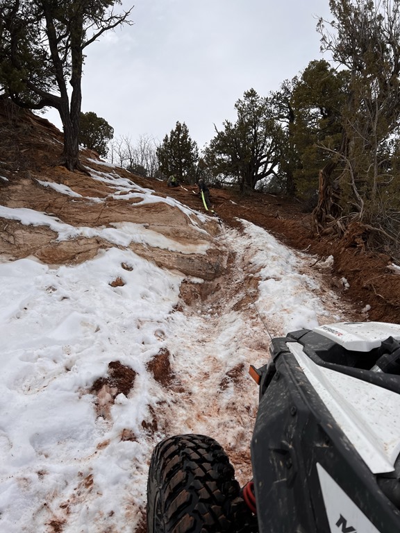
There's not much room to park here, but it is another geocache to bag while you're riding to the top of Skyline Drive. Again, be cautious of the jagged rocks and occasional steel pipes sticking out of the ground (from mining 100 or so years ago). Continue up the hill toward:
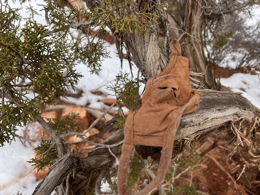
acorny place to hide a cache
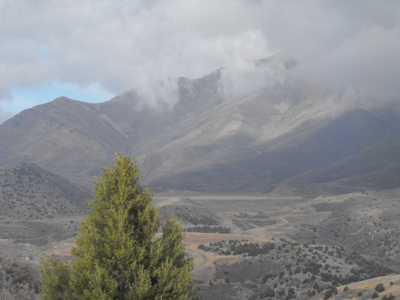
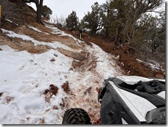
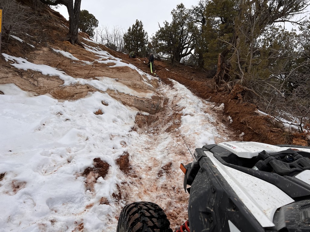
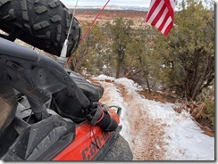
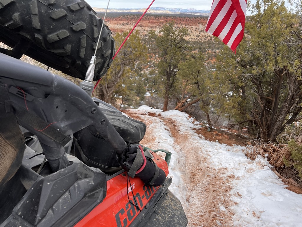
At this point, you are on the southern end of Mercur mine and have views of Ophir Canyon, Mercur Mine and Lewiston Peak. If you've reached this location and it's not yet mid-April, there's likely still much snow, mud and slush up here.
From this location, you can continue North/West and ride to the top of Skyline drive or drop down to the large mine tailings. I would recommend you explore this area up here and proceed west toward:
Mercur skyline drive and then find your way toward: Shiver me Timbers
Once you've explored these areas, consider finding your way toward:
Castle of Cacti
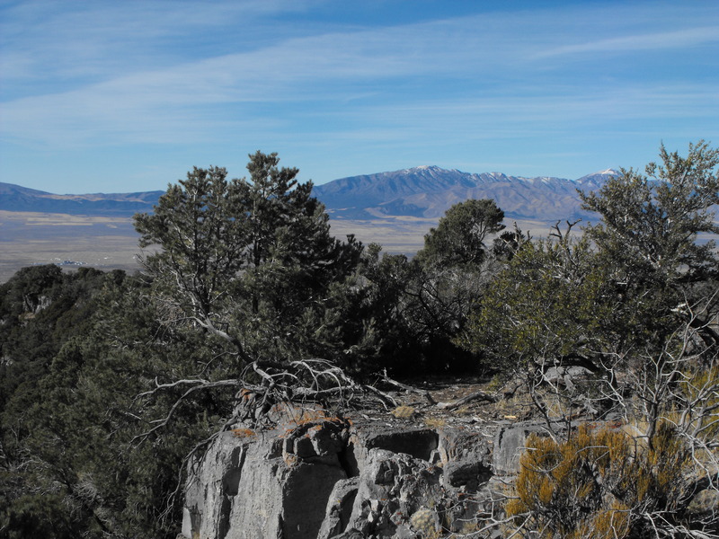
This location affords an excellent view to the west and is a great resting spot while you sit high atop the rocks. Watch for the cactus that grows throughout this rocky area.
Stage your vehicle and unload in this area:
Staging Area
Then start riding North/West until this location:
Pre-Wash
If you're into geocaching, bag this cache location, sign the log and continue north through the dry wash until you reach:
Out the wash
Get back (slightly North/East) onto the main dry wash and proceed North to this point:
a new car (note this geocache was disabled due to vandalism)
From this location, the cache is on a fairly decent grated dirt/rock trail, but starts to wind uphill and become a bit more challenging. Continue up the hill and park at the top to find this location:
Treasure Chest Cache
Now, proceed along the slightly used trail to the East and proceed up the hill. At this point, you may want to consider being in 4wd as the trail will climb aggressively for several points for the next 3-5 miles (depending on how experienced a rider you are). Continue along the trail to this point:
Coyote Hill
Just for good measure, check your tires for any punctures or rim damage. Be aware that somewhere up here is a pipe sticking about 7 inches out of the ground on the right side of the trail. I've seen a few tire blow-outs as folks hit this while climbing up.
Continue up further and proceed to:
Bald Mountain
At this location, it may be advisable to take a small break and let your motor cool a bit. This has been my hot-soup break location for the past 2 years when riding in the winter. It's a great view up here, but you're not at the top yet! Continue up and around (to the direct North now toward Mercur mine) until you reach:
Stump marker
There's not much room to park here, but it is another geocache to bag while you're riding to the top of Skyline Drive. Again, be cautious of the jagged rocks and occasional steel pipes sticking out of the ground (from mining 100 or so years ago). Continue up the hill toward:
acorny place to hide a cache
At this point, you are on the southern end of Mercur mine and have views of Ophir Canyon, Mercur Mine and Lewiston Peak. If you've reached this location and it's not yet mid-April, there's likely still much snow, mud and slush up here.
From this location, you can continue North/West and ride to the top of Skyline drive or drop down to the large mine tailings. I would recommend you explore this area up here and proceed west toward:
Mercur skyline drive and then find your way toward: Shiver me Timbers
Once you've explored these areas, consider finding your way toward:
Castle of Cacti
This location affords an excellent view to the west and is a great resting spot while you sit high atop the rocks. Watch for the cactus that grows throughout this rocky area.
Hopefully you were able to find the hidden trail that leads to Castle of Cacti, otherwise you surely ended up at: a desert mountain circle and are backtracking to find the trail.
Continue to explore this area if you like, then when you're ready to come down off the mountain, proceed back toward: acorny place to hide a cache and head down the hill. From here, you can stop just above the large mine tailing at:
5 Mile High
Coming down further from this location, you may start to encounter Jeeps and other larger rock crawling vehicles, and of late - construction/mining equipment, so be wary.
Continue following this trail toward:
PezCachePez (note this geocache is disabled, as I used it's container at another location).
At this point, you can either proceed south back toward the main staging area or follow this westward trail toward Sunshine Canyon. If you proceed west, head toward this rock crawling area:
Rattlesnake Jeep Trail 6: Space Capsule
Again, this is a favorite location for much larger vehicles (rock crawlers, Jeeps, etc).
If you haven't broken or bashed your machine on the rocks and windy curves, continue west toward:
Rattlesnake Jeep Trail #2: Trail Head
There are two other geocache placements before Trail #2, but I'll leave that to you to figure out. Continue west and you are now looking toward US 73 and the Tooele Chemical Depot.
By now, you should have had a great mixed-terrain ride and be ready to crack open your favorite beverage of choice.
Have fun, be safe and stay on the trails!

Leave a comment