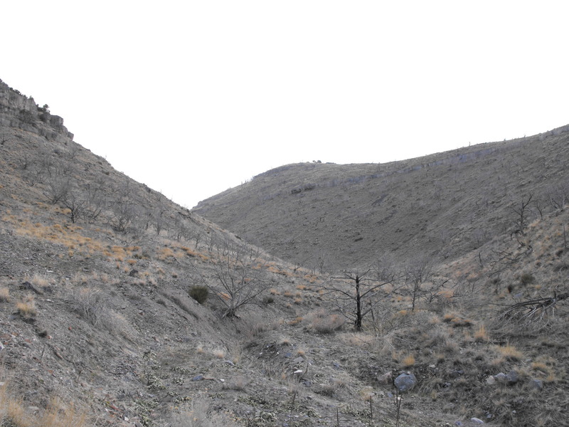
I decided that it was time to scout out this trail and see how much snow still exists up top. Since I parked at Sunshine Canyon, I decided to explore a canyon just to the East of the staging area. From a Google Earth perspective, there wasn't much of a trail going back.
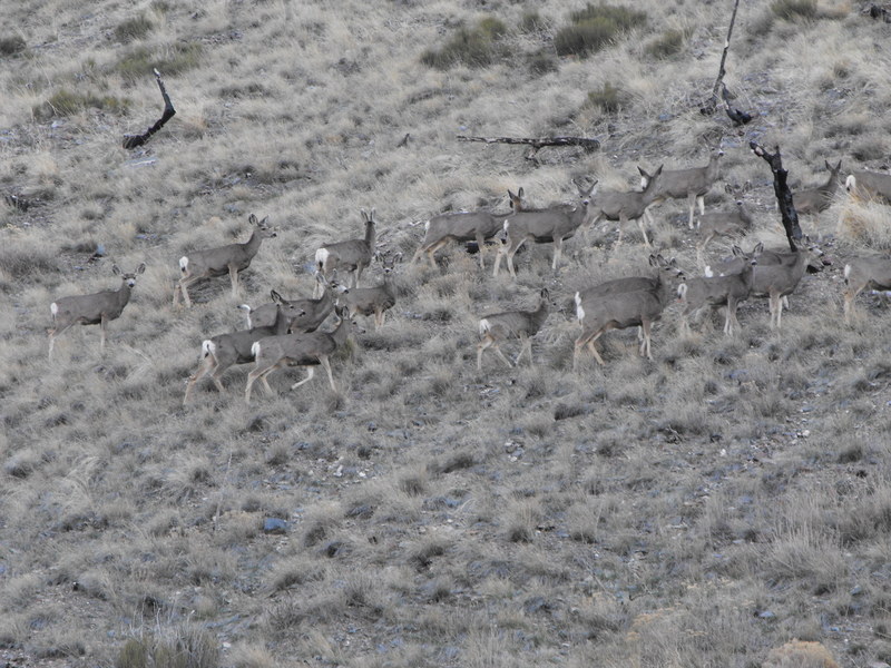
I was pleasantly surprised to find this canyon just kept climbing and heading into the mountain. About 1/2 way up, I surprised a huge herd of deer and parked to snap a few photos:
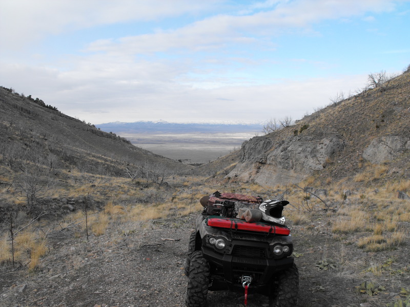
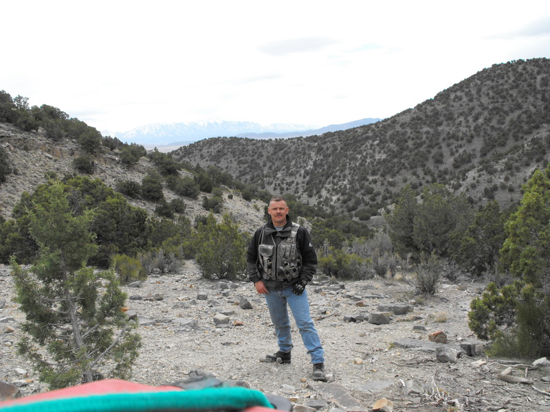
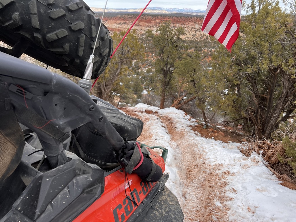
From this point, I turned around and proceeded North toward Mercur Canyon Road, crossed it and continued past the Airsoft gaming area and continued onward toward what I'll now call MercOphir Canyon trail.
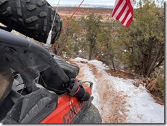
At this point, there wasn't much snow but I was starting to see signs that the snow would become problematic.
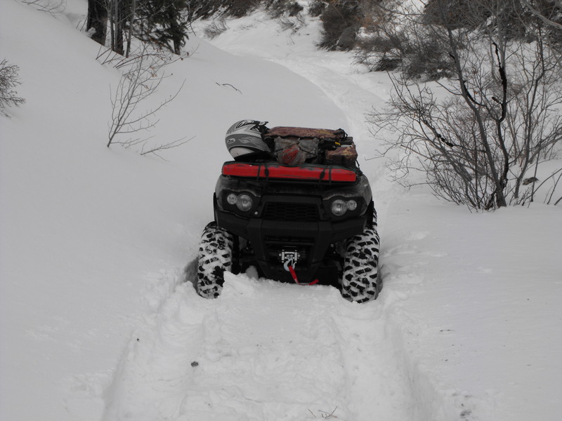
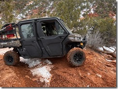
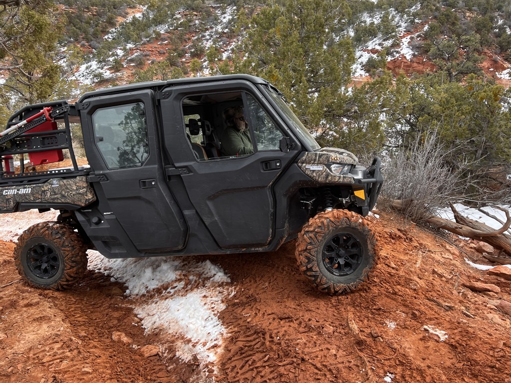
Did I mention that I only had 2 miles clocked on this brand new ATV before embarking on this scouting trip? What an awesome machine!
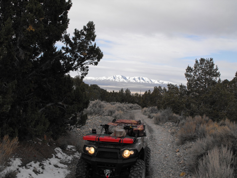
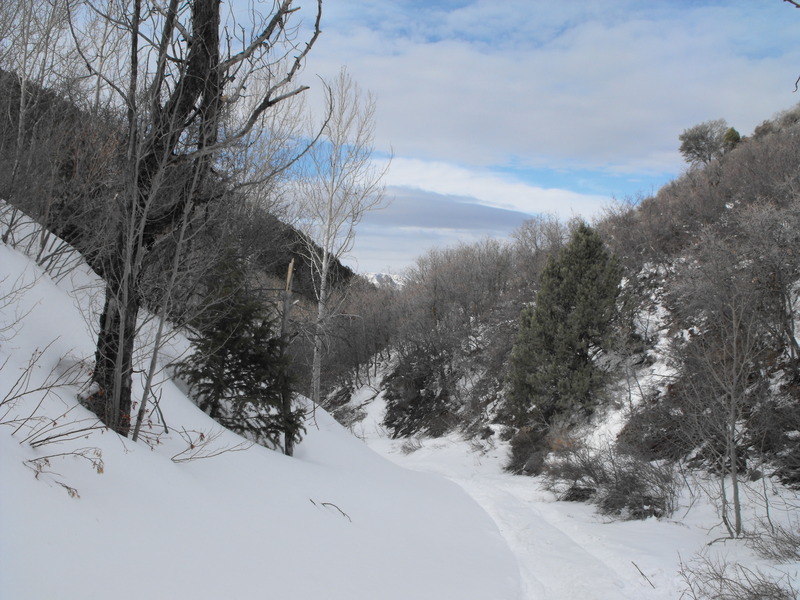
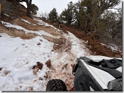
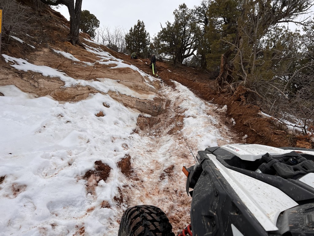
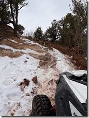
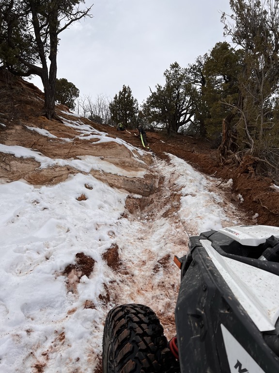
At any rate, I continued Eastward up into the canyon and the snow continued to get deeper. Fortunately, it was hard-packed and I easily rode over the top of 1' of packed snow until almost 3/4 of the way toward the top. At this point, the snow was now 1-3' packed in spots and was quickly becoming more difficult to plow through.
Again, I continued to plow through, but at this location, it was simply too deep and I was stuck.
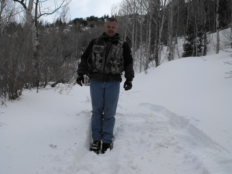
I then decided to place a geocache at this location, entitled: First Tracks on the MercOphir Trail . In a spot near the geocache placement, I sunk into a hole well past my knee. The snow is still really deep out here!
All-in-all, it was a great ride on the only day where we haven't seen snow, rain or high winds (or all at the same time). With the amount of snow up there, the ATV/Geocaching event will need to probably be pushed until May.
I was pleasantly surprised to find this canyon just kept climbing and heading into the mountain. About 1/2 way up, I surprised a huge herd of deer and parked to snap a few photos:
From this point, I turned around and proceeded North toward Mercur Canyon Road, crossed it and continued past the Airsoft gaming area and continued onward toward what I'll now call MercOphir Canyon trail.
At this point, there wasn't much snow but I was starting to see signs that the snow would become problematic.
Did I mention that I only had 2 miles clocked on this brand new ATV before embarking on this scouting trip? What an awesome machine!
At any rate, I continued Eastward up into the canyon and the snow continued to get deeper. Fortunately, it was hard-packed and I easily rode over the top of 1' of packed snow until almost 3/4 of the way toward the top. At this point, the snow was now 1-3' packed in spots and was quickly becoming more difficult to plow through.
Again, I continued to plow through, but at this location, it was simply too deep and I was stuck.
I then decided to place a geocache at this location, entitled: First Tracks on the MercOphir Trail . In a spot near the geocache placement, I sunk into a hole well past my knee. The snow is still really deep out here!
All-in-all, it was a great ride on the only day where we haven't seen snow, rain or high winds (or all at the same time). With the amount of snow up there, the ATV/Geocaching event will need to probably be pushed until May.

That looks like a great ride. The snow actually looks fun. :) About how high up is the snow line there? It looks like you gained quite a bit of elevation.
I changed the oil in my ATVs yesterday and I'm all ready for a ride, but the weather is supposed to be rainy/snowy most of the weekend, so I don't think I'll be getting out any time soon. :(
Since yesterday was the *ONLY* day without snow/rain, I just had to call-in-well and get in some hiking, riding and caching.
The snow line was less than 7500' in elevation from the desert floor. That location, considering its in the west desert is one of the most lush locations around. Up top, it's a forest of pines and aspen trees. Many mule deer and Elk up top. I was hoping most of the snow would be gone, but it looks like I still have a month+ before I can get up top without large drifts.
Sunday is looking promising for some riding and I may take my 11 year old out on his new Brute Force 750i ATV.