Start: N 40 14 10.79 W 112 09 43.12 (south side staging area)
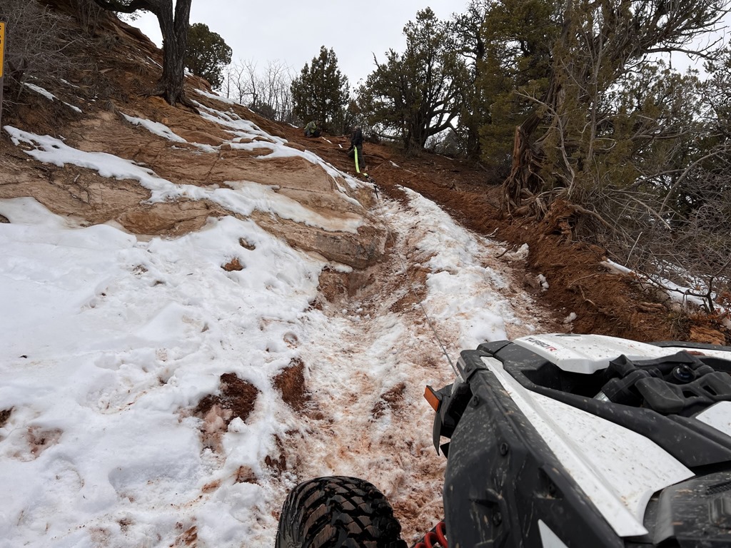
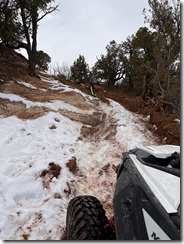
Rock Crawling: N 40° 12.203 W 112° 09.607
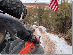
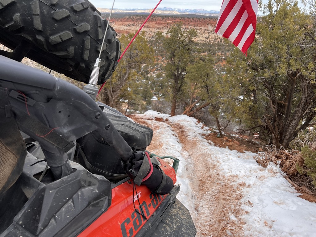
Ridge line: N 40° 11.134 W 112° 08.738
Hill Climb: N 40° 09.718 W 112° 09.490
12 Mile Pass: N 40° 05.591 W 112° 09.896
Black Rock Canyon: N 40 02 44.66 W 112 09 14.17
Meadow Ride: N 40° 01.899 W 112° 11.519
Mill Canyon (if there's interest): N 40° 01.518 W 112° 13.984
High Point: N 40° 00.207 W 112° 11.815
Eureka Sinclair: N 39° 57.272 W 112° 07.197
Chiulus Pass: N 39° 57.363 W 112° 07.778
Rock Crawl: N 39° 58.224 W 112° 07.718
Allen Ranch Road: N 40° 02.137 W 112° 04.290
..then back toward Five Mile Pass.
Who's coming for the ride?
Rock Crawling: N 40° 12.203 W 112° 09.607
Ridge line: N 40° 11.134 W 112° 08.738
Hill Climb: N 40° 09.718 W 112° 09.490
12 Mile Pass: N 40° 05.591 W 112° 09.896
Black Rock Canyon: N 40 02 44.66 W 112 09 14.17
Meadow Ride: N 40° 01.899 W 112° 11.519
Mill Canyon (if there's interest): N 40° 01.518 W 112° 13.984
High Point: N 40° 00.207 W 112° 11.815
Eureka Sinclair: N 39° 57.272 W 112° 07.197
Chiulus Pass: N 39° 57.363 W 112° 07.778
Rock Crawl: N 39° 58.224 W 112° 07.718
Allen Ranch Road: N 40° 02.137 W 112° 04.290
..then back toward Five Mile Pass.
Who's coming for the ride?

Leave a comment