On Sunday, I met a group at the One Man Band Diner in Spanish Fork. Breakfast was great. The restaurant was a combination of Village Inn & the Training Table.
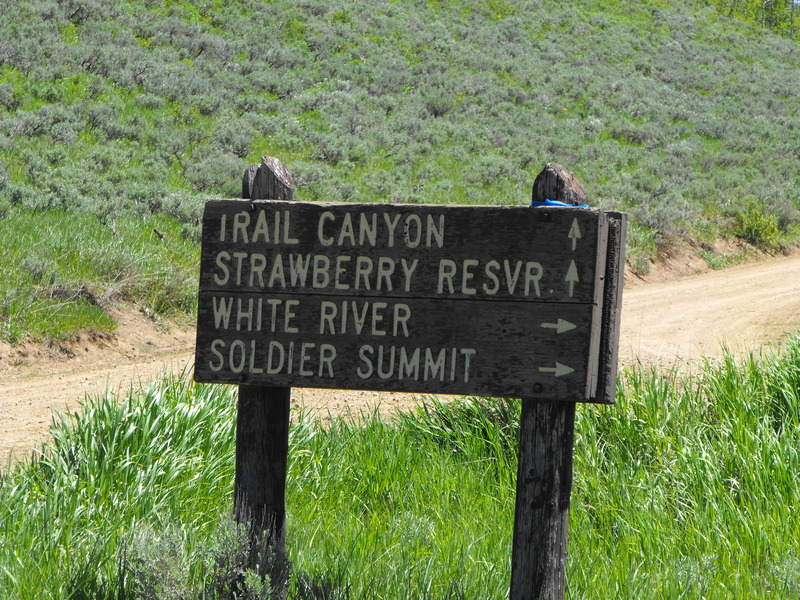
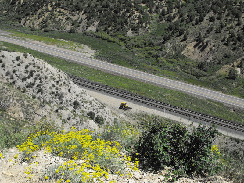
From that point, we drove up Spanish Fork Canyon (Hwy 6) east toward Price about 20 miles.
The Garmin Mapsource tracks are attached: TieForkCanyon.gdb
The SPOT .KML for use in Google is:TieFork.kml
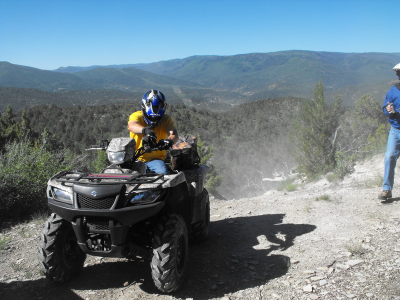
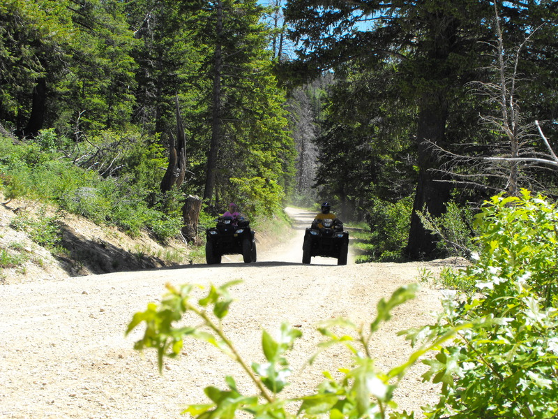
Tie Fork Canyon is easily a combination of the 76 Trail (Kimberly) along the Paiute and the Skyline drive above Bountiful. Large pines and Aspen cover the mountain, providing plenty of shade; small water crossings abound as well.
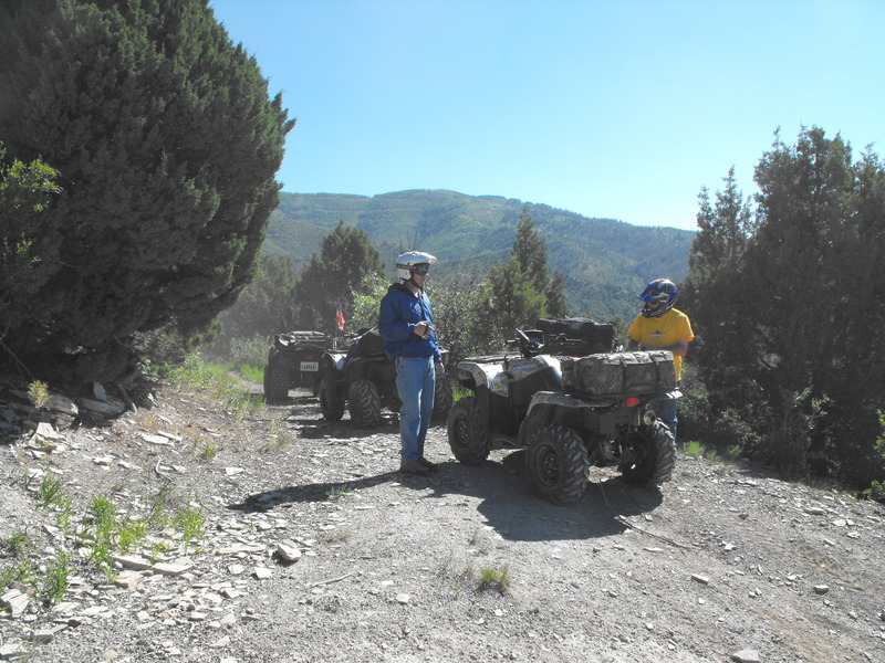
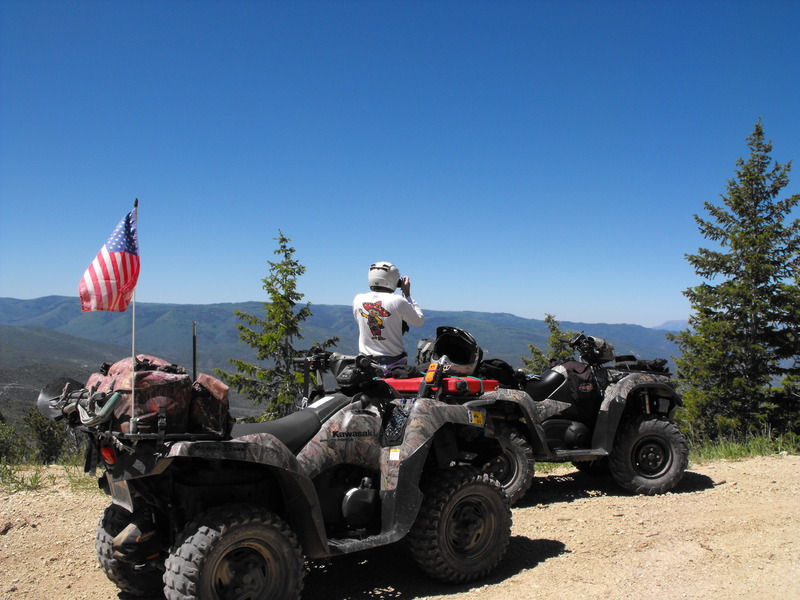
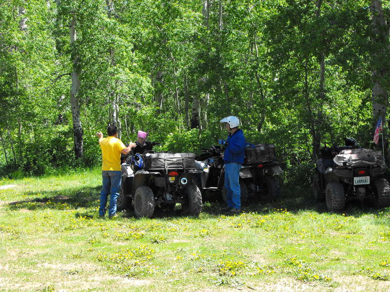
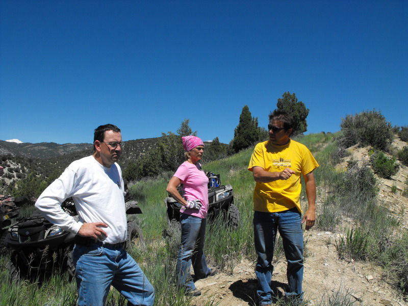
Along for the ride were Arnie Cooper (aka Coop), our trail guide, Jim and his wife Laura (I believe). The three of them were all on 700cc KingQuads, and I on my trusty Kawasaki Brute Force 750i (Fuel Injected).
Tie Fork Canyon - Updated
Where is James King?
Language Translation
Other Links:
Main
Public Trail Maps
Archives
CMS
About/Contact
Twitter @BruteForce
Geocaching
View DGP stats
My Audio & Video:
Flickr
YouTube
Pandora
Elsewhere:
ATV Utah
Our ATV Obsession
Bogley Outdoor Community
ATV Escape
Trish's Cake Shop
Dennis Udink's Site
Army Ranger
Alex's World
Grizzly Guy
Adventure World TV
WeatherCam: UofU
Delta Bravo Sierra Comics
PowerPoint Ranger Comics
Reversaroller ATV Winch


Leave a comment