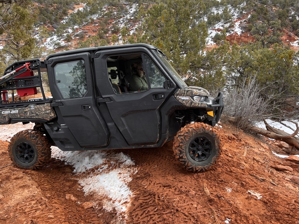
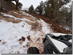
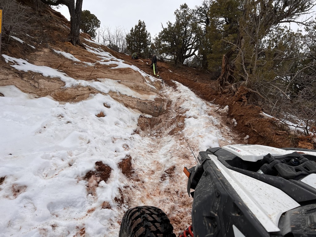
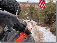
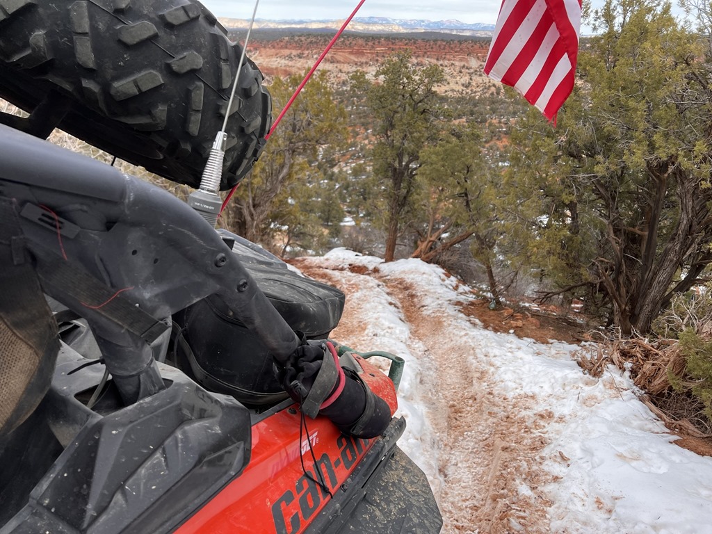
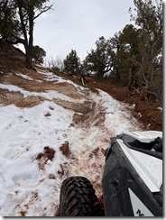
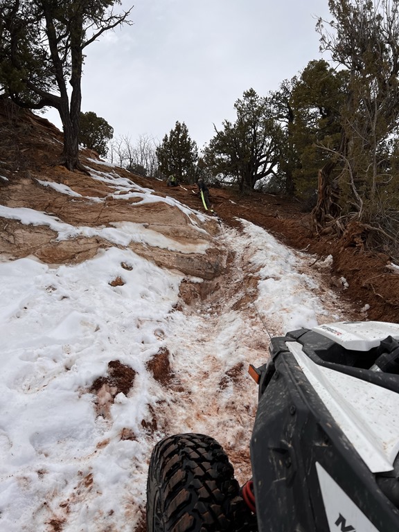
So a friend of mine did some riding and exploring in the mountains to the North of HWY6/Spanish Fork Canyon. The USFS has marked most of the trails in this area, and most are accessible via 4x4 and OHV's; in fact, we've seen many RV's and campers up in this area as well.
Here's a video that Coop made from his ride last weekend:
Here's the Garmin tracks from the area:
L.H fork to Daniels, 65 mile loop.gdb
Starvation to Tucker (Spanish Fork Canyon / Hwy 6)
Where is James King?
Language Translation
Other Links:
Main
Public Trail Maps
Archives
CMS
About/Contact
Twitter @BruteForce
Geocaching
View DGP stats
My Audio & Video:
Flickr
YouTube
Pandora
Elsewhere:
ATV Utah
Our ATV Obsession
Bogley Outdoor Community
ATV Escape
Trish's Cake Shop
Dennis Udink's Site
Army Ranger
Alex's World
Grizzly Guy
Adventure World TV
WeatherCam: UofU
Delta Bravo Sierra Comics
PowerPoint Ranger Comics
Reversaroller ATV Winch

Leave a comment