I decided to take a quick ride up Mineral Fork on Sunday (2 August). It had been over two years since I'd been up there last.
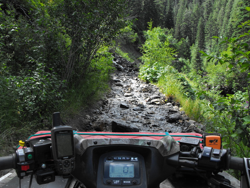
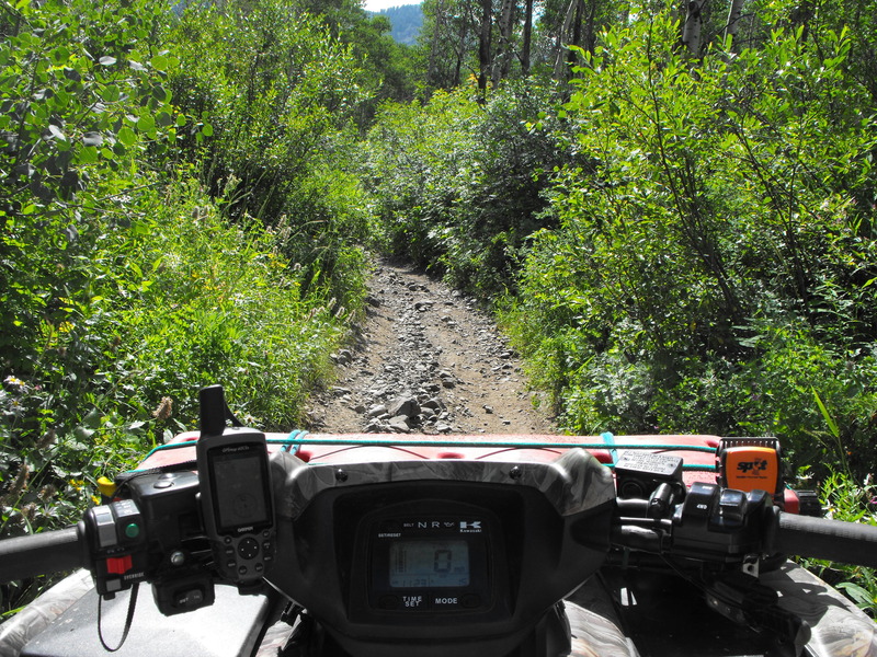
I had forgotten just how technical and rocky this little 6 mile stretch of canyon is. There are many locations that are obstructed by large rocks, off-camber cliffs and just boulder after boulder along the trails.
Here's the Garmin tracks from the ride:
MineralFork.gdb
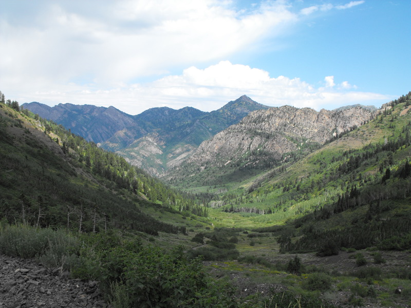
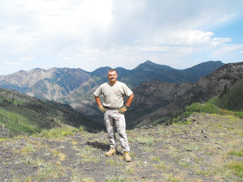
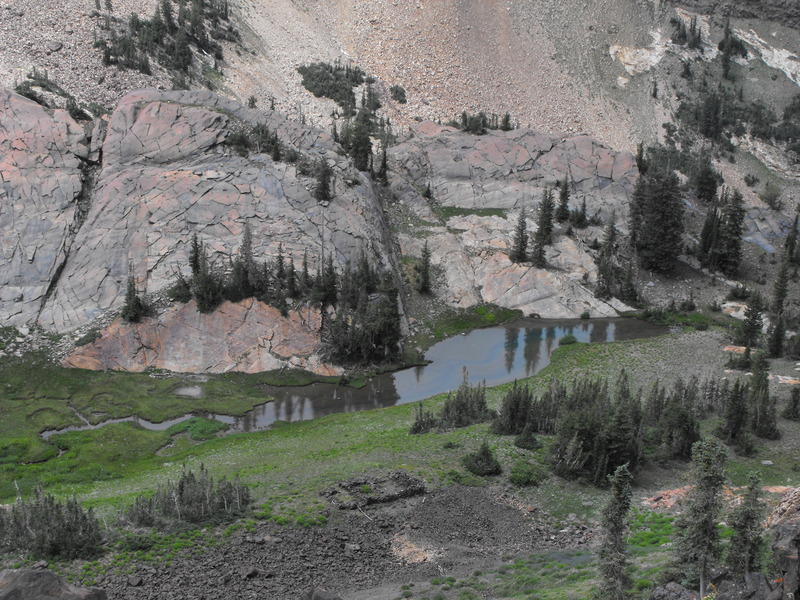
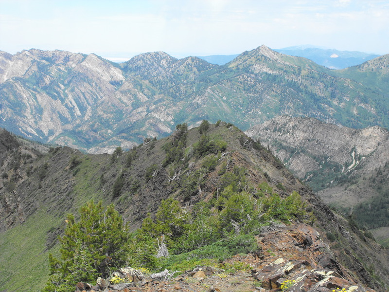
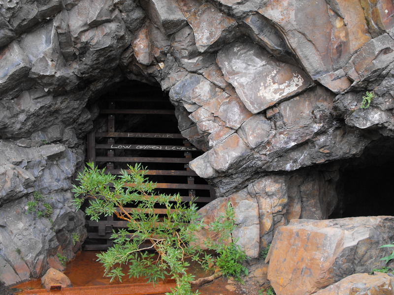
Once I had reached the end of the trail (at the old mine), I decided to climb (on hands-and-knees in some spots) to the top of the ridge line. From up there, you can see down to Lake Blanche and over the peaks to the Salt Lake valley below.
A few photos from the ride and hike:
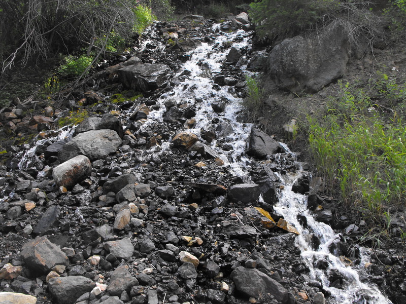
The trail up (the water fall):



Leave a comment