Updated 31 October 2009:
Our SPOT and Garmin Tracks:
Hike to 8250.gdb
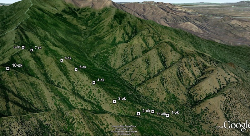
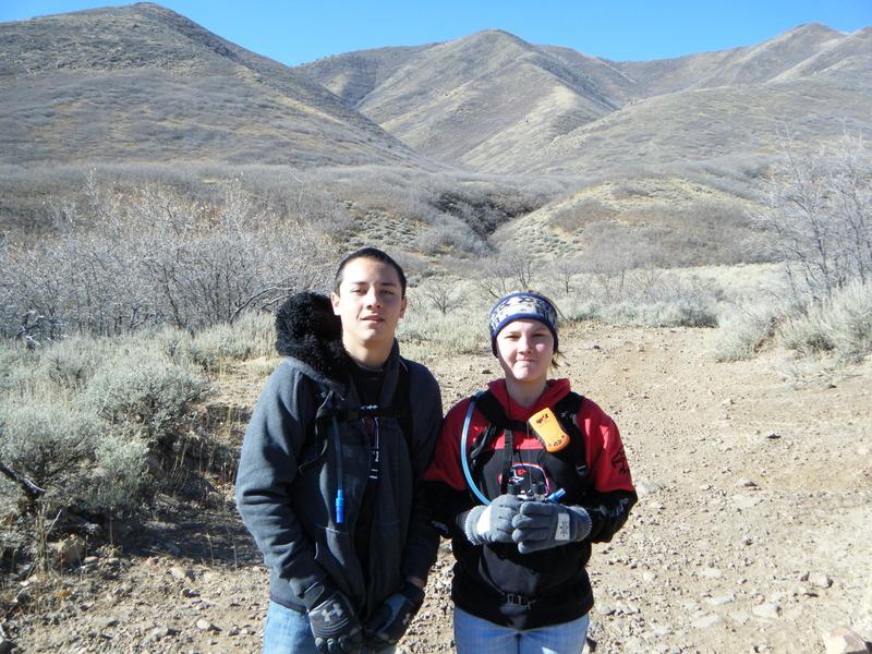
So at 0930, Megan (niece), Skyler (nephew) and I arrived in the approximate area of our hike. I had to park 1.3 miles away because the dense growth of oak trees were really scratching my truck up.
We geared up (Camelbaks, shoes, gloves, etc) and started the ascent. We had spotted a ridge line that we thought we be favorable for reaching the summit. From almost 2 miles away, it looked like a leisurely climb. Boy, were we wrong!
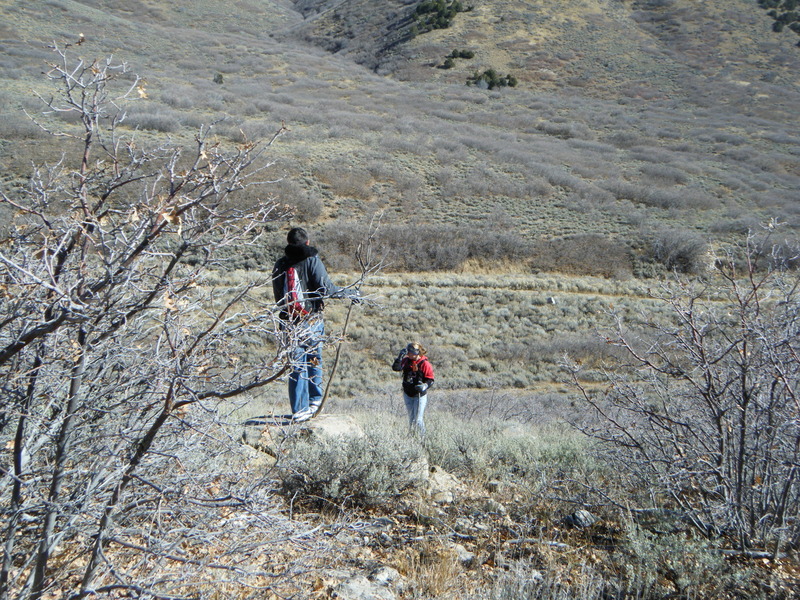
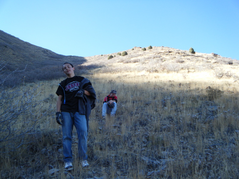
Even the walk to the first ascent was difficult. We had to literally beat our way through large thickets of oak trees and scrub. The scratches were starting already and we hadn't really even begun to climb yet.
I convinced the kids (ages 15 and 16) to continue forward and that we'd take our first break at the approach to the first ridge line. They looked tired already.
At this point, it was clear that the climb up was going to be more difficult than it originally appeared (from the Truck's vantage point). Told the kids to suck it up and off we went.
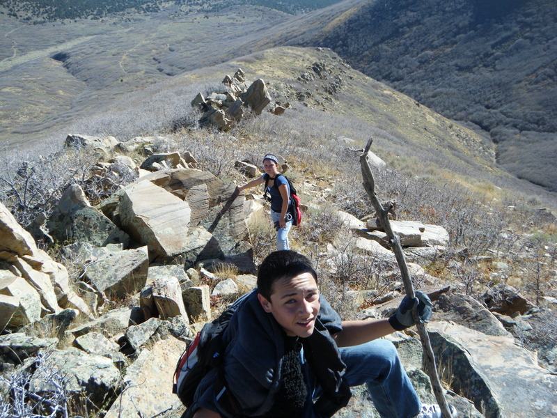
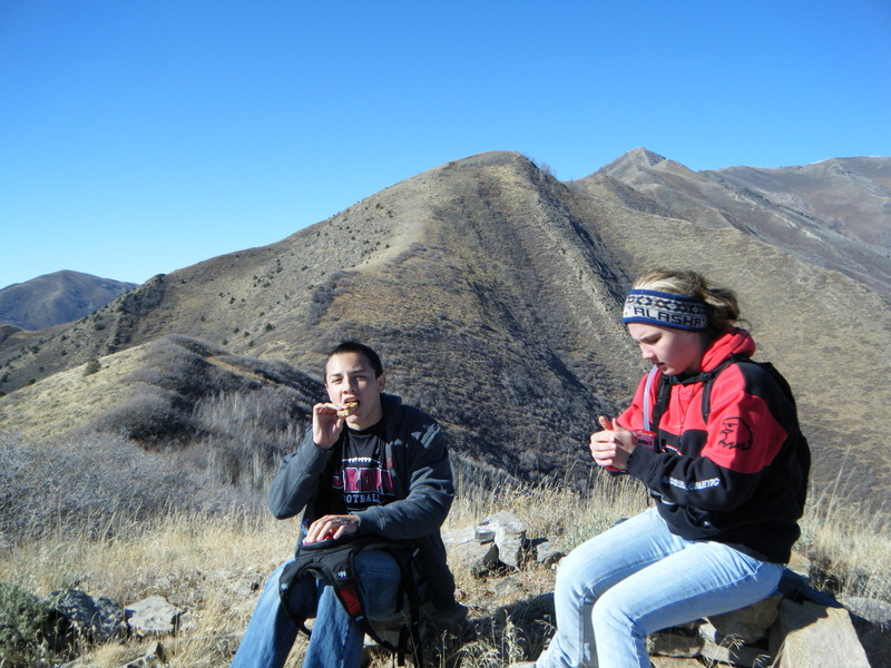
We came to a large outcropping of rocks. They cleared couldn't be bypassed and could only be passed by walking right over the top. One wrong step and it would have been pain. We made it past and continued to our first ridge line. Quick break for the kids. Tie shoe laces, eat a power bar and press forward.
By now, its already 2:30pm and we still have one more ridge line to hike up. This one being steeper than the others. Again, I urge the kids forward and we continue to climb up - knowing that the peak was a mere 400' above us.
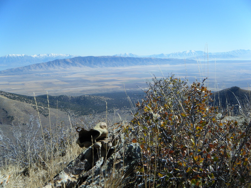
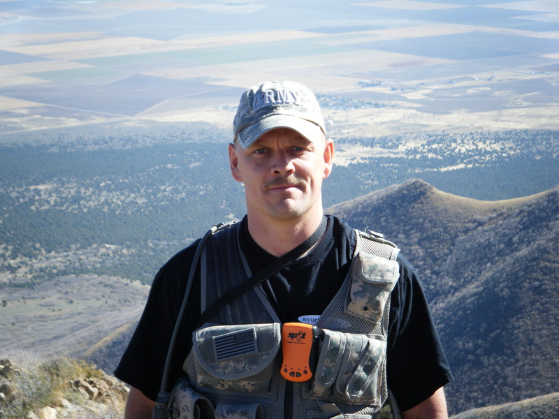
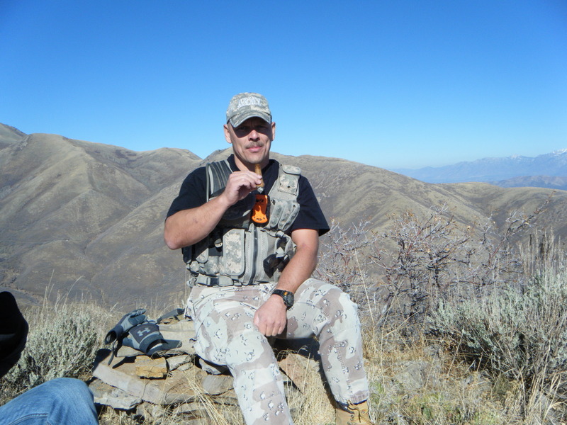
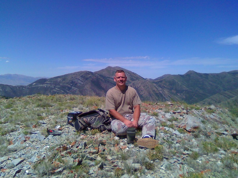
SUCCESS! We reach the summit around 3:30 and take a well deserved rest. I brought along a favorite cigar and proceeded to chomp..
At this point, we had to decide where to make our descent. Clearly, going back down would be more difficult than going up. Two hilltops South, we could see what looked like an ATV or horse trail going half-way up the hill. From our vantage, it appeared as though that would be the best location to make the descent.
By now, the sun was starting to set behind the mountains (it was now around 5pm) and we made it to a ravine at the bottom of our first descent. What we couldn't see from the top however, was that this ravine was a 10' drop down and another 50' climb up. The only way to do it safely was by holding onto whatever saplings would hold our weight.
Megan went sliding straight down, filling her backside (and pants) with dirt, tree debris and rocks. Clearly not the best tactic for getting into the ravine. Skylar and I made it down without issue.
By now, everyone was tired and looking forward to finding the ATV trail.
Off to our right and fairly close was the "bleet bleet" of either an Elk or a mountain lion. The kids were getting nervous.
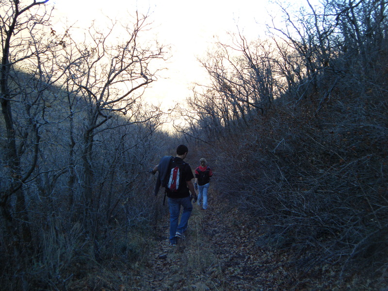
Fortunately, after busting through a huge thicket of oaks, we found the trail and started our hike back to the truck (another 2-3 miles away and down hill).
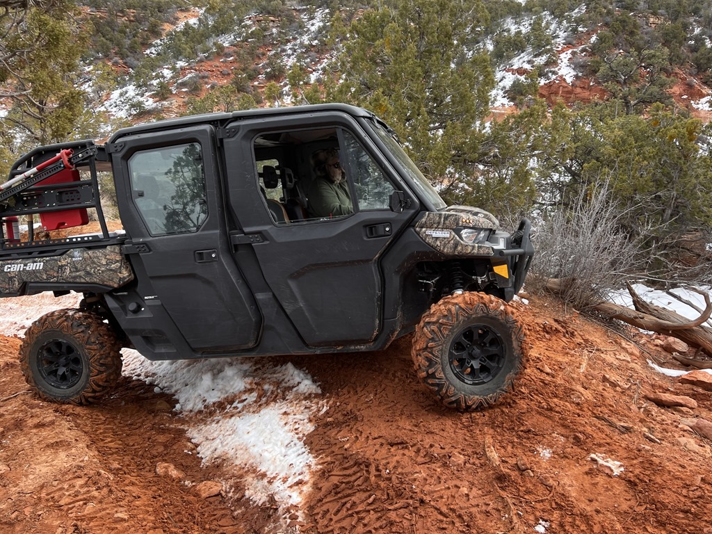
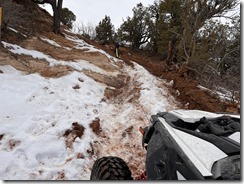
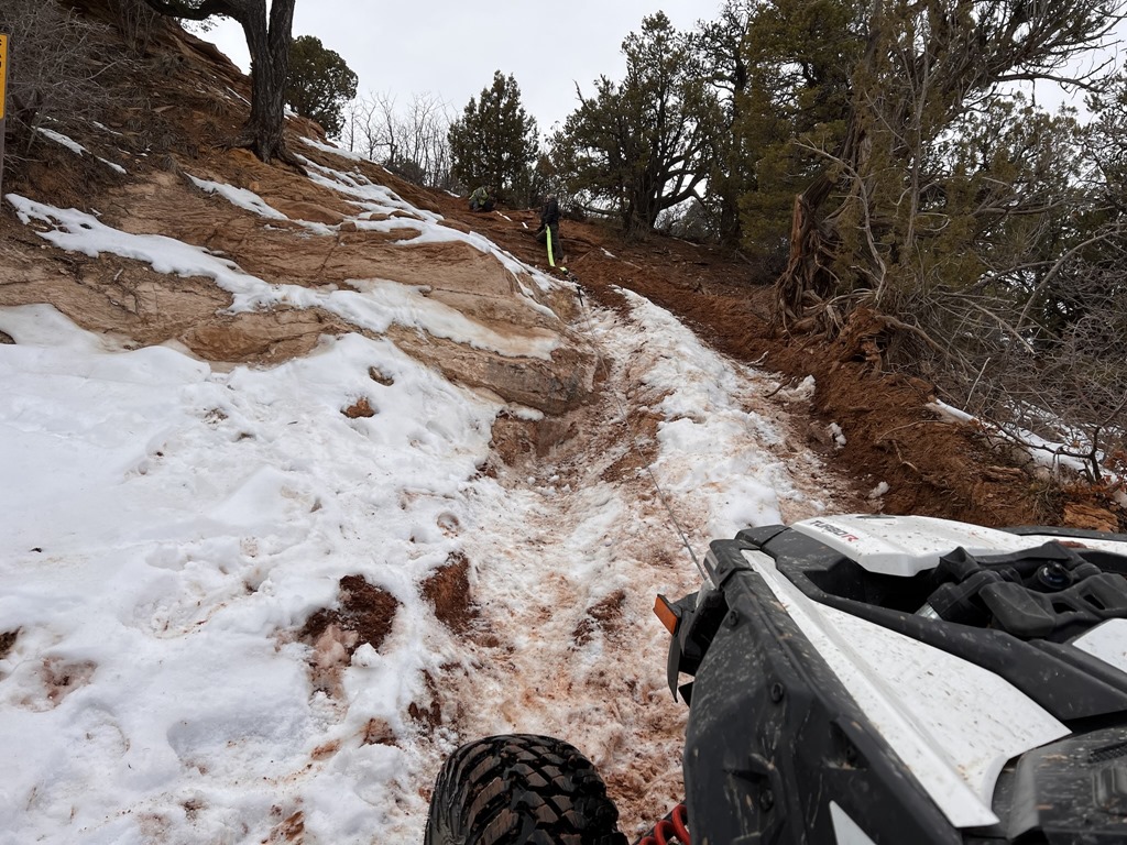
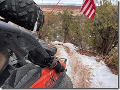
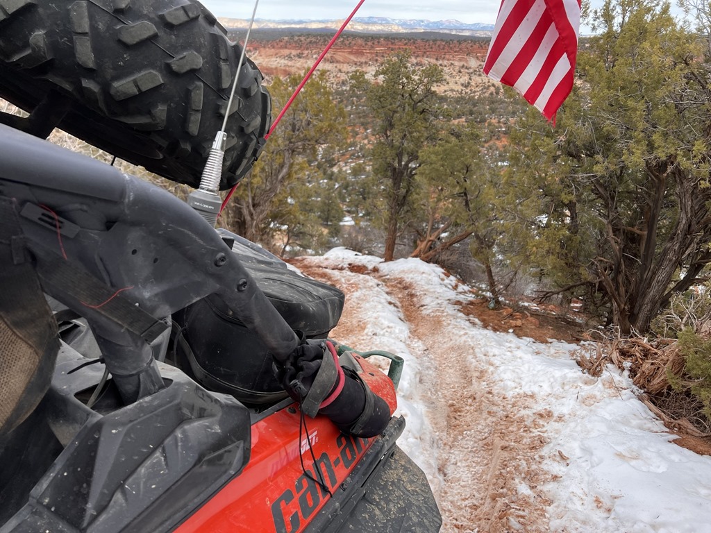
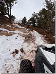
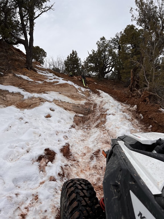
 The drive back down Pole Canyon (in my Dodge Ram 2500) proved to be just as difficult as the hike. In a few locations, the trail was so rutted out and covered with 2-3' boulders that my truck was up on 2 tires, teeter-tottering side to side.
It was a long day of hiking, but everyone was glad our objective was met.
----------------
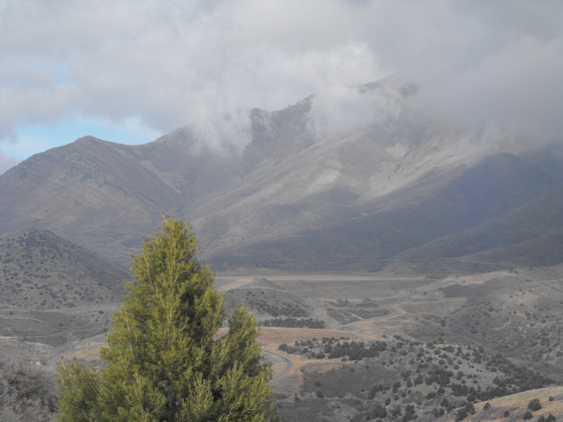
Since November of 2007, I've been trying to reach the ridge line in this area. Each time we (with and without the wife and/or dog) have tried to get up here, we've either hit the wrong ridge line or encountered trees and growth that were virtually impassable.
Now that fall is coming to an end, I believe there will be less vegetation to impede our ascent. If the weather holds this weekend (no snow or rain), I will make a final attempt for this year.
Total elevation gain is around 4000', virtually straight up and without any trails. This is 100% pure bush-wacking and peak bagging.
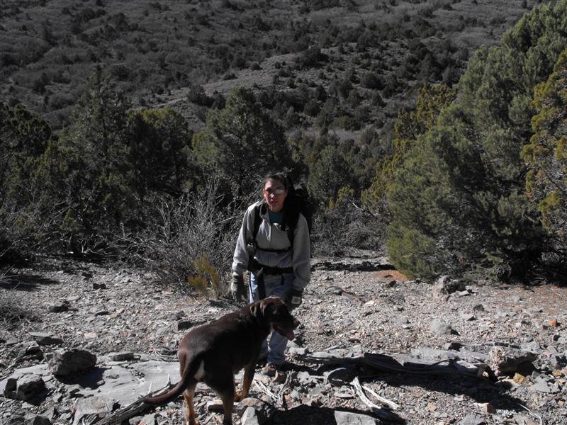
A few photos from our last attempt (Wife and dog Gauge):
Our SPOT and Garmin Tracks:
Hike to 8250.gdb
So at 0930, Megan (niece), Skyler (nephew) and I arrived in the approximate area of our hike. I had to park 1.3 miles away because the dense growth of oak trees were really scratching my truck up.
We geared up (Camelbaks, shoes, gloves, etc) and started the ascent. We had spotted a ridge line that we thought we be favorable for reaching the summit. From almost 2 miles away, it looked like a leisurely climb. Boy, were we wrong!
Even the walk to the first ascent was difficult. We had to literally beat our way through large thickets of oak trees and scrub. The scratches were starting already and we hadn't really even begun to climb yet.
I convinced the kids (ages 15 and 16) to continue forward and that we'd take our first break at the approach to the first ridge line. They looked tired already.
At this point, it was clear that the climb up was going to be more difficult than it originally appeared (from the Truck's vantage point). Told the kids to suck it up and off we went.
We came to a large outcropping of rocks. They cleared couldn't be bypassed and could only be passed by walking right over the top. One wrong step and it would have been pain. We made it past and continued to our first ridge line. Quick break for the kids. Tie shoe laces, eat a power bar and press forward.
By now, its already 2:30pm and we still have one more ridge line to hike up. This one being steeper than the others. Again, I urge the kids forward and we continue to climb up - knowing that the peak was a mere 400' above us.
SUCCESS! We reach the summit around 3:30 and take a well deserved rest. I brought along a favorite cigar and proceeded to chomp..
At this point, we had to decide where to make our descent. Clearly, going back down would be more difficult than going up. Two hilltops South, we could see what looked like an ATV or horse trail going half-way up the hill. From our vantage, it appeared as though that would be the best location to make the descent.
By now, the sun was starting to set behind the mountains (it was now around 5pm) and we made it to a ravine at the bottom of our first descent. What we couldn't see from the top however, was that this ravine was a 10' drop down and another 50' climb up. The only way to do it safely was by holding onto whatever saplings would hold our weight.
Megan went sliding straight down, filling her backside (and pants) with dirt, tree debris and rocks. Clearly not the best tactic for getting into the ravine. Skylar and I made it down without issue.
By now, everyone was tired and looking forward to finding the ATV trail.
Off to our right and fairly close was the "bleet bleet" of either an Elk or a mountain lion. The kids were getting nervous.
Fortunately, after busting through a huge thicket of oaks, we found the trail and started our hike back to the truck (another 2-3 miles away and down hill).
The drive back down Pole Canyon (in my Dodge Ram 2500) proved to be just as difficult as the hike. In a few locations, the trail was so rutted out and covered with 2-3' boulders that my truck was up on 2 tires, teeter-tottering side to side.It was a long day of hiking, but everyone was glad our objective was met.
----------------
Since November of 2007, I've been trying to reach the ridge line in this area. Each time we (with and without the wife and/or dog) have tried to get up here, we've either hit the wrong ridge line or encountered trees and growth that were virtually impassable.
Now that fall is coming to an end, I believe there will be less vegetation to impede our ascent. If the weather holds this weekend (no snow or rain), I will make a final attempt for this year.
Total elevation gain is around 4000', virtually straight up and without any trails. This is 100% pure bush-wacking and peak bagging.
A few photos from our last attempt (Wife and dog Gauge):

Leave a comment