In early May 2010, my brother, youngest son (Nick) and his friend (Alex) all took off for Fillmore. We brought our rolling Marriott to stage at the Fillmore KOA.
Fillmore-To-Beaver.gdb


The weather was moderate with temperatures in the high 50's and lower 70's. Our plan was to ride (and camp) from Fillmore to Beaver, stopping for food and fuel along the trail.
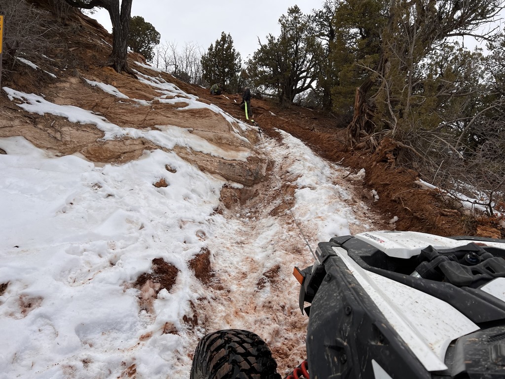
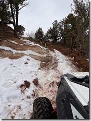
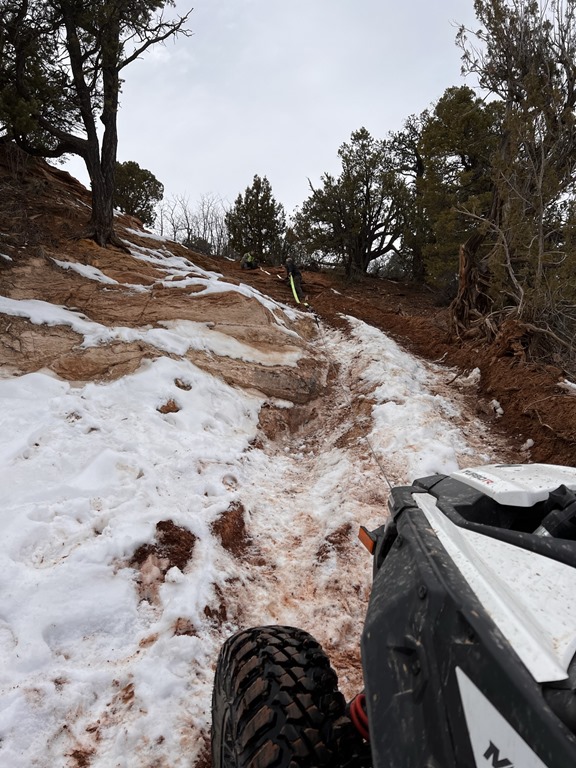
Rather than my normal route through Meadow and Kanosh, we decided to head out via Chalk Creek, exploring many side trails along the way. Water levels in the creek were moderate.


By the end of Day 1, we had already crossed I-70 and staged our camp just between the Paiute 01 and 02 trails at about 10,000' elevation. Unfortunately, a massive storm blew in soaking everything. Fortunately, our little camp was well prepared to last through the storm.
Before getting too far toward Marysvale, we stopped at our favorite hole-in-the-wall restaurant (Hoovers) and enjoyed an excellent meal.


Nick made a bet that he could finish an 1 pound slice of chocolate cake. Needless to say, we didn't allow him to complete that bet.
Off to Marysvale we went.


We awoke the next morning, broke camp and headed into Marysvale for food and fuel. Next stop was somewhere near Beaver and the lakes above the mountain. First though, it was a nice jaunt through Delano Peak and Big John Flat.


We found a few lakes about 15 miles south of Big John Flat and decided to make camp again. Fortunately, we had planned ahead and brought our fishing gear. Unfortunately, the fish weren't biting, so we just enjoyed the day.


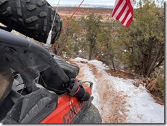
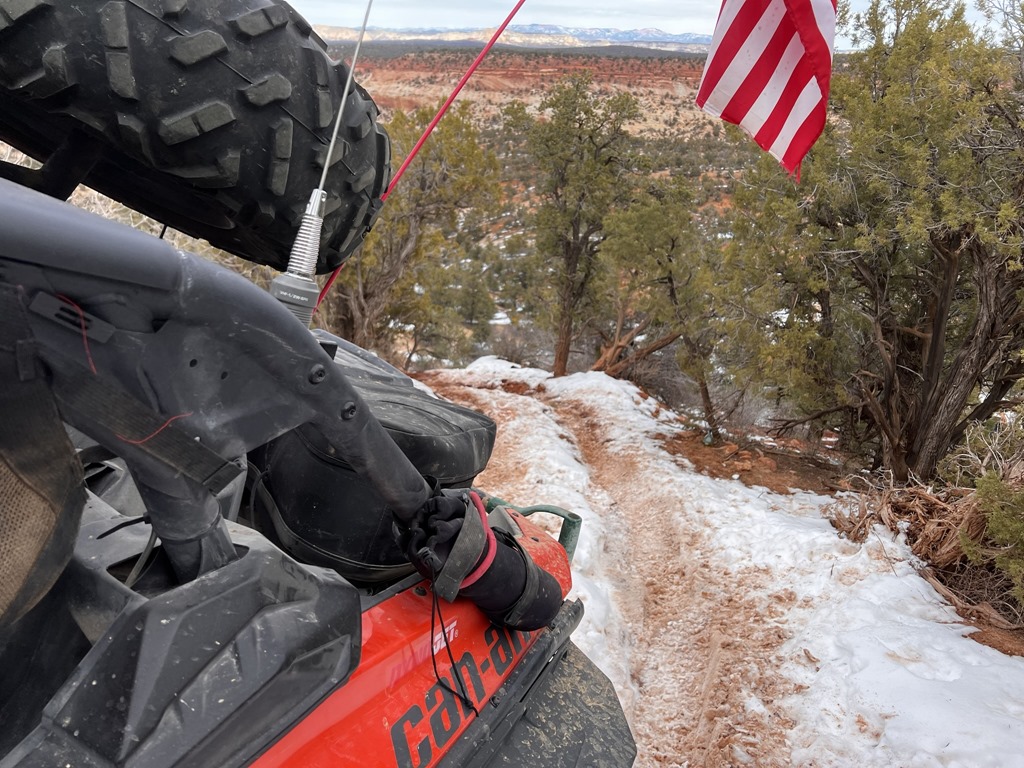
For the return leg, we definitely wanted to hit the Max Reid and Paiute 76 trails. Toward the end of the 76 trail, we encountered a washed out section of trail and had to build it up with rocks to make it safely passable.


Moments after reinforcing the drop-off, another group approached from behind and we gladly helped them down the 4' drop-off - were they ever grateful!


Most of the way through the Max Reid trail, we stopped to climb my favorite spot. I went up first to stage a rope so the boys could have a safety line.


All in all, this was a fantastic way to spend 3-4 days with family! For Sept 2011, we're planning something similar, but in a new and interesting location near Casto Canyon.


Leave a comment