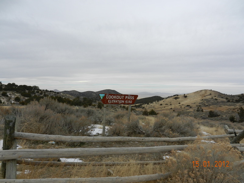
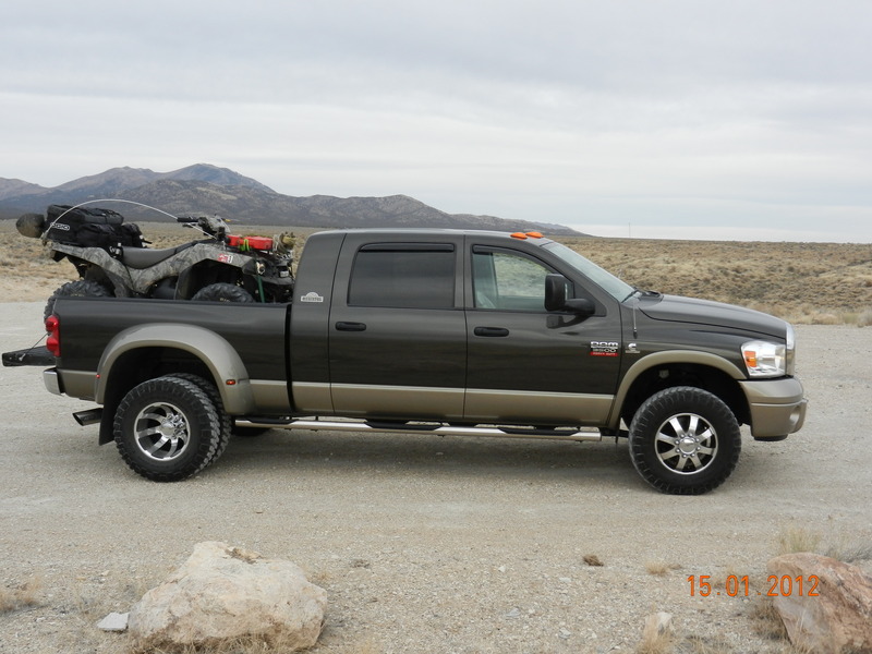
I loaded up the ATV and drove out along the Pony Express trail and continued west to Lookout Pass.
A little information about the Pony Express trail:
Ride the Pony Express Trail National Back Country Byway
The Pony Express Trail National Back Country Byway begins near Fairfield and ends at Ibapah, Utah. Along the route visitors can enjoy history and a variety of recreation.To begin tracing the hoofprints of the "Pony" visit the Camp Floyd / Stagecoach Inn State Park on state highway 73, 5 miles south of Cedar Fort. The Inn was an overnight stop for weary travelers along the Overland and Pony Express Trail. Hours are 9 am to 5 pm. It is open 7 days a week during main season and closed Sundays from October 15 through March 31.
Next, visit the Pony Express National Back Country Byway Visitor Information Site. This interpretive site was constructed in the spring of 1992. It is located 1.8 miles west of the Faust Junction along the north side of the Pony Express Trail on an overlook. The site is clearly marked at the turn-off.
The Pony Express National Back Country Byway route is approximately 133 miles in length. Most of the route is classified as rangeland and managed by the Bureau of Land Management. The elevations along the route vary from 4,900 feet near Fairfield to over 6,100 feet at Lookout Pass. The most common use of the rangeland along the trail is livestock grazing which dates back to the mid 1800s.
The Pony Express Trail is interpreted at a number of locations:
A
Fairfield/Camp Floyd
This station was located with John Carson's Inn and was used by both the Pony Express and stage travel. The Fairfield adobe building was built in 1958 and is still standing, has a wooden facade, and is open to the public. It was operated by the Carson family until 1947 and lodged such visitors as Mark Twain, Porter Rockwell, Bill Hickman and Sir Richard Burton.
Adjacent to Fairfield is Camp Floyd. It was established in November 1858 and named for Secretary of War, John B. Floyd. Camp Floyd was the second military establishment in Utah and its mission was to establish a military route to California and to investigate the Gunnison Massacre.
At its peak, Fairfield had a population of 7,000 of which 3,000 were soldiers. At the time, Fairfield was the third largest city in the territory.
B
Faust Junction
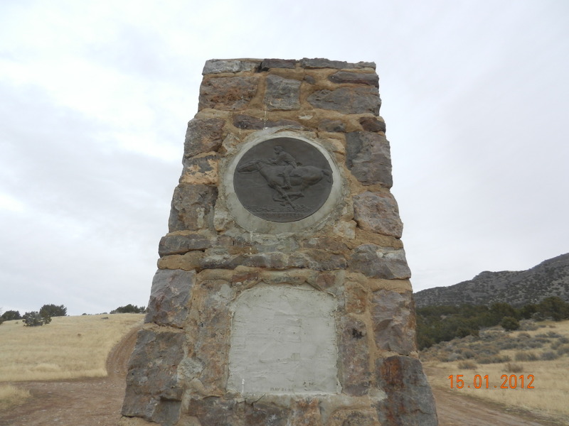
As you travel west along the Pony Express Trail, this stop offers the first opportunity to view interpretive work completed in 1976 by the BLM. There is also a marker at the site which was constructed in 1939 by the Civilian Conservation Corps as part of its project to mark the original Pony Express Trail. Named after station keeper "Doc" Fausts, the station was a two-story stone structure located some distance from the present marker. A change of riders took place and the mail stage stopped for rest breaks at this station.
C
Simpson Springs Station
 This station bears the name of explorer Captain J.H. Simpson who stopped
here in 1858 while searching for an overland mail route between Salt
Lake City and California. It is one of the most dependable watering
points in this desert region. George Chorpenning established a mail
station at this site in 1858, which was later used by the Pony Express
and Overland Express.
A number of structures have been built and destroyed in the vicinity of Simpson Springs over the years. It is not known for sure which served as the station for the Pony Express. The restored structure is located on a building site which dates to the period (1860) and closely resembles the original. A BLM campground is located just east of the station with drinking water, toilets, and 14 camping sites.
D
Boyd Station
This relay station gets its name from Bid Boyd, a station keeper who continued to live here into the early years of this century. In the days of the Pony Express, it was known as Butte or Desert Station. Only a portion of the rock walls that once provided protection from the elements now remains.
Living conditions were extremely crude. The partially dug out, rock-walled living quarters contained bunks which were built into the walls. Furniture consisted of boxes and benches. Life at the isolated station was lonely. Activities of the station keeper, spare rider and blacksmith centered around caring for the horses and a simple existence. The monotony was broken only by the arrival and almost immediate departure of two riders each day.
E
Canyon Station
The Canyon Station was located northwest of this site in Overland Canyon. Built in 1861, it consisted of a log house, a stable, and a dugout where meals were cooked and served. In July 1863, Indians killed the Overland agent and four soldiers, and burned the station. The Overland Station was built in 1863 at the present marked site, which was a more defensible location. Stone outlines of the 1863 station are still visible.
There are remnants of a round fortification built just behind the station which served as a lookout and place of refuge. It probably never had a roof so defenders could speedily climb over the wall and begin firing through the rifle ports. The depression on the south side of the parking lot indicates where the corral and blacksmith shop were probably located.
Pony Express Facts
- St. Joseph, MO to Sacramento, CA
Distance: 1900 miles - Number of Stations: 190 (peak operation)
Note: The Utah Territory (Utah, Nevada and W. Colorado) carried 65 of the 190 - Number of Horses: 420 (peak)
- Number of Riders: 80 (peak)
- Average Speed: 7 miles per hour
- Average Time: 10 days
- Fastest time: 7-1/2 days (Lincoln's Inaugural Message)
- Distance per Rider: 60-120 miles each
- William C. "Buffalo Bill" Cody: Rode 322 miles in 21 hours and 40 minutes using 21 horses.
- Home Stations: 60 miles apart
- Swing Stations: averaged 11 3/4 miles apart
- Rider Salary: $120-$125 per month
- Station Personnel: 2 agents, l station keeper, and l assistant
The Road Ahead
The sand and gravel road ahead can become unstable when wet. Areas may look solid, however, getting stuck is very easy. Also, watch for flash flooding during the thunderstorm season and be very careful during extreme hot and cold periods. Desert terrain is deceptive in distance and orientation, so study the map carefully.
Come prepared for desert travel--bring extra water and have plenty of gas. There is no gas available between Vernon and Wendover, however gas is sometimes available in Ibapah.
----
While en route to Lookout Pass, my first stop was a Pony Express marker.
The next stop was the peak at Lookout Pass. The cloud continued to get darker and the wind more ominous:

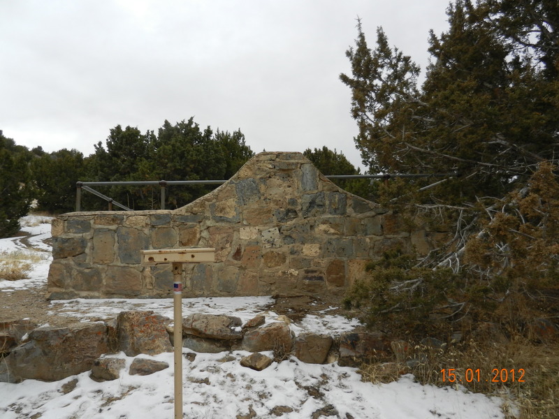
From this location, I proceeded further West and found a staging area adjacent to the Lookout Pass Pet cemetery. A bit of history on the cemetery:
-----
In the 1850/60 era the station keeper was Horace and Libby Rockwell. Libby, had a pet cemetery constructed for her pet dogs that passed on. Rumor has it, that her dogs were buried side by side with emigrants who died along the trail as well as employees killed by Indians. The strange part is that the dogs graves were the only ones that were marked with tomb stones.
----

All in all, it was an interesting trip to the West desert, but the 30+mph winds, low clouds and rapidly dropping temperatures brought my activities to a close.


Leave a comment