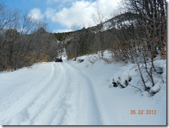
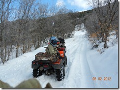
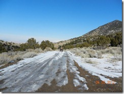
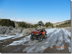
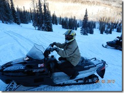
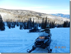
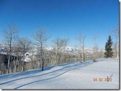
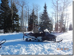
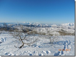
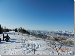
In early January 2012, I posted a single question on ATVUtah.com regarding interest in riding the Swell late February. I received a few initial replies from less than 8 folks. As the proposed date (Feb 25) got closer, I saw more replies from folks indicating they had invited others to participate.
Little did I know that this initial query would turn into a massive event where more than 20+ people arrived with truck, trailer and ATV - including one gentlemen all the way from Texas.
My youngest son (Nick) and I arrived early Friday morning (having hoped to depart Thursday, but due to high winds felt it prudent to postpone our departure).
The drive up and over Soldier's summit was hairy. Fresh snow and Ice were on the ground and we really had to take our time towing the 43' 5th wheel down (and up) those grades.
Upon arriving at our camp destination (Buckhorn Well), we were surprised to find that some agency had created a cleared and dedicated camping location - complete with fencing, cattle guards, covered picnic tables and some sort of building structure.
Getting in (due to the size of my 5th wheel) was problematic. The graded county road did not provide enough turning radius to maneuver my rig through the cattle guard. After a bit of maneuvering, I was able to cut a 45 degree angle through the gate and make it in without making contact with the steel posts. Yet more damage to my 5th wheel averted!
Upon arrival, the gentleman from Texas (Jerry) was already camped in his 20' travel trailer. We discussed the weather and overnight temperatures (being reported as being 13-20F each night) and agreed to do some exploratory riding in the morning.
As the next morning came, Jerry approached me to inform me that his exposed fresh water tank had frozen solid overnight and that he was headed into Castledale to secure some form of heater to thaw his tank ( in his words, "I am in need of a shower").
Since the outside temperature was still less than 20F by 8am, we gladly waited for his return and placement of a UV light under his TT tank.
Off we went to explore the nearby trails - our first stop being the crossing at the San Rafael River. The water depth appeared to be 2-3', fast moving with a very thick layer of ice over the far bank. Additionally, the far trail was very washed out, off-camber and thick with mud. We weren't quite prepared to make the crossing that day (considering Nick was on a 2wd Honda and Jerry was somewhat inexperienced (or so it seemed) ).
Since we chose to not cross the river that day, we instead chose to follow Buckhorn draw South and cross the "Swinging Bridge". The trail was not technical, but it was scenic - to include a stop at the pictographs on Buckhorn Wash.
While wandering around the side trails on Buckhorn Wash, we stumbled upon some sort of encampment. On the first pass by, I stopped to examine the contents: Many 5 gal water jugs, black bags of tin cans and other assorted gear. Nobody was around. After we backtracked and went by again, we noticed that a huge backpack (5+ day variety) and set of boots was now obvious near the 5gal water jugs. Whoever was there was clearly hiding from us.
So, for Friday, daytime temps were reportedly 42F, but the real-feel (due to wind) was less than 32F. Nighttime temps dropped below 20F. I emailed the group on ATVUtah.com to come prepared with extreme cold weather gear as Saturday was supposed to be same (or worse) weather - with the addition of high wind warnings.
Saturday morning arrives and I spend over an hour getting my ATV to start (due to the extreme overnight temperature). Just after 9am, the first trucks start pulling into the camp spot. After 30 minutes, over 20 vehicles had parked and more seemed to be coming down the county road. I was shocked to see so many people unloading machines.
I take a few minutes to collaborate on the trail route with a few regulars (Dennis and Glenn (both from the Ogden area), gather everyone around to determine experience levels (there were so many that I didn't know) and discuss trail etiquette (if we get to a turn, wait for positive signal from the person BEHIND you before you proceed on a trail turn). We decide to split up into two groups (at least initially) with 12 being in my group and depart. Our first stop, the river.
Glenn goes through first and we determine that the water wasn't as deep as it appeared and he makes it across. We start to funnel others through. Our third rider (Dave) makes it through, but hits the sheet of ice with his tire and breaks the bead, but still manages to make it across. We spend the next 1-2 hours getting the tire back on the wheel. Who knew that Mayonnaise would substitute for grease.. Jerry sure discovered that after 40psi and when the bead does finally settle, that mayonnaise flies everywhere.. (he was covered head to foot in the stuff).
From this location, we continued South along Sid's Mountain, Eva Conover and through the ice and snow to Swayze's Cabin (south of I-70). We had now progressed over 40 miles into our route and were at the half-way point, but already 2pm.
The next few sections were the most difficult: The Devil's Racetrack and Fix-it Pass. Boulder crawling, off-camber and rough terrain for several miles - this really slowed our group's progress. Stopping to assist, prevent tip-overs or rolling off the cliff was critical, especially considering were were rapidly running out of daylight and knowing that we had ~3 hours before the sun went down and were just past the half-way mark.
We managed to get through the Devil's Racetrack with no issues. Most of the riders were capable and with some light spotting, we managed to get everyone through. Off to Sid's Mountain and Fix-it Pass. This location proved to be more difficult, especially for our younger and more eager 2wd young lady. While she seemed unafraid of the terrain and willing, the machine simply wasn't capable of climbing the extreme rocks. With 3 guys man-handling the machine and her father at the controls, we managed to get her machine out of the tight spot.
Now for the other ~20 machines.
After what seemed like 30-40 minutes, we got the entire convoy through Fix-it Pass and continued our journey north. By the time we arrived at Coal Wash, the sun was already going down and the wind was howling. We stopped to regroup, do a head-count and allowed everyone to get even more bundled up with their cold weather gear. The temperature had easily dropped 20F.
Down coal wash we sped (with me at the front, easily hitting 40-50mph) and the group trailing behind. By the time we got to our next turn to head toward the Swinging Bridge, it was pitch black and very cold. At this point, trail etiquette went out the window. Nobody wanted to be left behind or in the dark. I waited (or so I thought) for the last riders to pass, waited an extra 5 minutes then proceeded alone (in the dark) on my own. Unfortunately, I was wearing my tinted goggles, and they made it far too dark to see at night, so I had to ride the remaining ~15-20 miles without eye protection. It was VERY COLD. Shortly before the Swinging Bridge, I caught sight of the convoy ahead of me (easily 1-2 miles ahead) and pressed on. Part of the group became confused at the next turn and I ensured they knew to turn left (West) instead of right (which they seemed about to do).
By the time we made it back to camp (staging area), folks were scrambling in the bitter cold to start trucks, load their machines and get out of the Swell. The time was 8pm.
So concluded a memorable and very long adventure in the Swell. Nick and I remained at camp that night, suffered through the howling winds and freezing temperatures and departed at sun-up the following morning (Sunday).
Unfortunately, it appeared to have snowed at Soldier's Summit again the night before and we had to again traverse snow covered roads towing our 18,000 pound load.
Total mileage was just under 100miles as indicated in these attachments:
Garmin Track (unfortunately, my batteries died on the GPSr and I only saved the return half of the tracks):Swell-Return.gdb
A huge thank-you to Doug McGee for reluctantly (but still willing) to lead a good portion of the trail sections.


