GPS Tracks: WhiteSandsWash.gdb
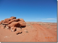
In October, my brother-in-law Ken and I departed for the Green River, Utah area. Our destination was the White Sands wash area - approximately 15 miles South/East of Green River. Our intent was to stay almost two weeks while boondock camping and ride/explore all the nearby trails and areas.
I was told that due to the size of my 5th wheel (43'), that it would be best if I came in via Blue Hills Road, just south of the Moab airport and HWY191; what a mistake. The wash-outs and dips on that graded dirt road caused the rear-end of my 5th wheel to make contact at least 12 times during the ~25 mile drive in. The easier route would have been Floy Wash road, just off I-70. Floy Wash road was only 10 miles to White Sands, with only 3-4 deep wash-outs.
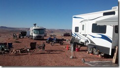
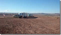
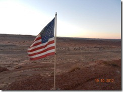
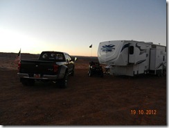
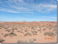
At any rate, after a grueling 2 hours running the ~25 miles down Blue Hills, I finally arrived in advance of my brother-in-law, drove to the top of a mesa overlooking the sand dunes and set up camp.
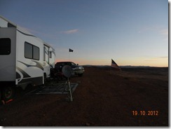
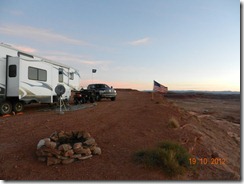
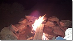
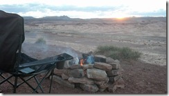
The weather, other than some wind was holding up quite nicely. I dug a nice deep fire pit, surrounded it with rocks found on the mesa and got my first fire underway.
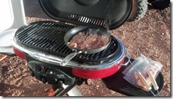
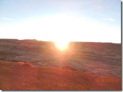
The following morning, it was clear that a decent breakfast with grill made bacon was in order, so I prepared everything and ate breakfast as the sun came up.
By the next day, many in our group were starting to arrive, including a dually towing a monster Jeep rock-crawler. Sadly, I never got to see the rock crawler leave the trailer or head into the dunes. The others that joined were locals from Moab and knew these trails and the trails around Moab very well.
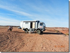
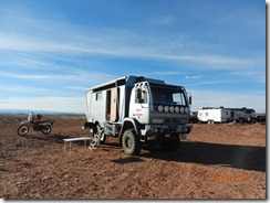
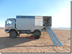
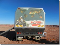
That afternoon, we saw in the distance a large and very fast moving vehicle. As it turned out, it was a couple from Austria in a global expeditionary vehicle; they were travelling through from Canada to South America on a year-long adventure.
They were so intrigued with Utah, that most of our discussions in German and some broken English revolved around how they could possibly relocate from Austria to Moab and open a German themed restaurant. Fast forward to late December 2012 and I received an email from the couple indicating how much they dislike Mexico and want to come back to Utah.
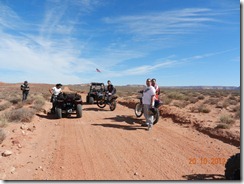
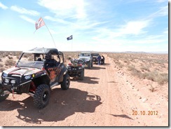
Day 3 (or 4, I don't recall) and our group loads up to ride the trails to the South of White Sands. In our group are 2x Jeeps, a SxS, a few motorcycles and a few ATV's. We travel about 40 miles that day before returning to camp.
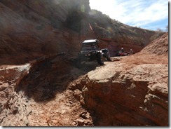
The following morning, we pack up again with our destination being "The Pickle" with the trailhead starting at N 38 42.606 W 109 47.675
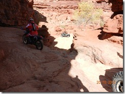
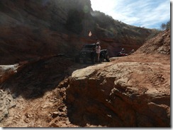
According to Traildamage.com, the trail is rated an 8 out of 10 for technical challenge and is a favorite for extreme rock crawlers, which made it even more interesting for a short wheel based ATV (mine!).
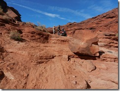
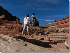
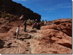
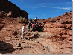
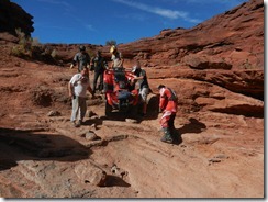
Just as we entered the trail head, we noticed two guys on ATV following us in. It was apparent they were in above their pay grade the minute we hit our first descent. We helped them as much as possible until the last HUGE drop-off, at which point, we helped them "walk" their ATV's down the descent.
A brief video showing the walk-down..
Shortly after returning from this ride, most of our party departed to head back to Moab or their respective homes, leaving Ken (my brother-in-law) and I on the mesa. By this time, winds were approaching 40-60mph sustained, eliminating further potential for fires or outdoor BBQ'ing. Our plan for the following day was to head north, explore the Green River, then see if we could find the Green River Missile Complex and the "Crystal Geyser" along the Green River.
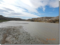
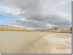
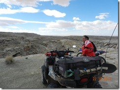
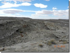
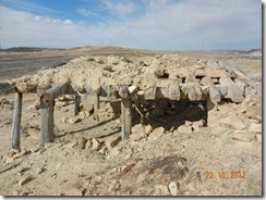
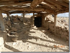
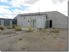
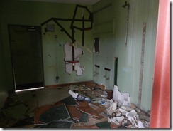
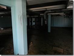
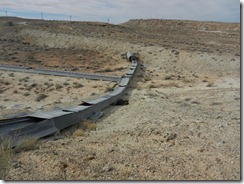
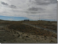
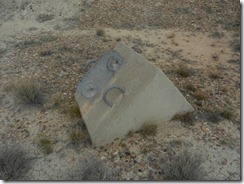
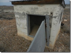
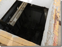
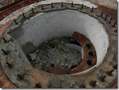
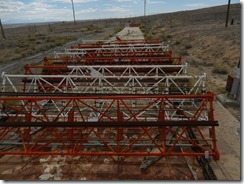
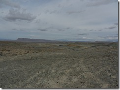
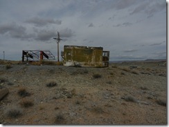
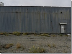
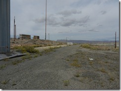
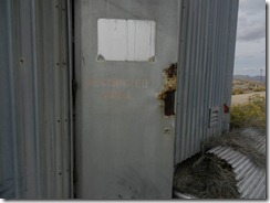
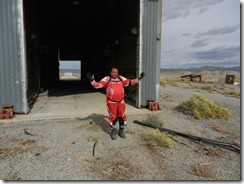
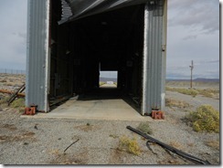
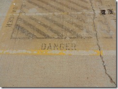
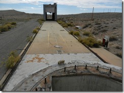
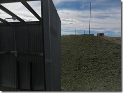
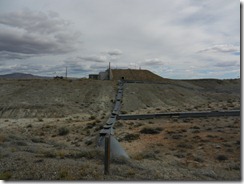
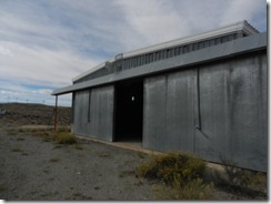
We took off late morning and found many trails that took us to the Green River, but no option to cross. We then decided to find the Missile Complex (which we did). What an interesting relic from the 60's and 70's and the cold war.
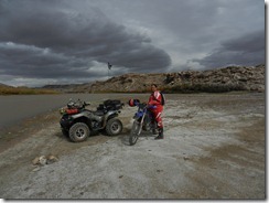
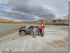
After riding to the edge of the Green River, it was off to the Missile Complex:
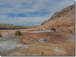
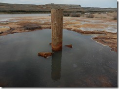
After thoroughly checking this location out, we took off to the West to find the Geyser. Sadly, the Geyser never erupted during our ~30 minute visit.
We contemplated riding into Green River for a beer and snacks, but thought perhaps our non-street legal machines would get us in trouble, so instead we turned around and made the ~15 mile ride back to camp.
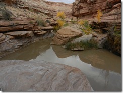
The following morning, despite the winds and rapidly dropping temperatures, we decided to ride into 10 Mile Wash toward the Green River. The wash is narrow and deep, with the walls towering overhead in some spots as high as 100+ feet.
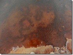
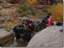
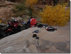
About 3/4 of the way through the wash, we came to a deep "pond" that we decided to traverse. Little did we know just how deep this "pond" was. Ken went in first on his Yamaha and laid it down for a fraction of a second.. just long enough to allow the bike to ingest over a gallon of water; his machine was flooded out.
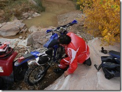
We decided that since I had ample tools that we'd dismantle the bike and get as much water out as possible, then figure out next steps. After over an hour of wrenching, we got as much water out as possible and limped the bike out another mile or so, before reaching dry trail. The decision was made that I'd drive the ~20 miles back to camp and return with a gallon of oil and other supplies to do an in-the-field oil change. Sadly, even after putting a full gallon of oil through the machine, the oil was still white and milky. We still decided to ride the machine out and wildly, the machine survived the trek. Just after getting out of the wash, the sky went dark, rain started and the winds whipped up to at least 60mph. What a day!
So now with my Kawasaki broken and Ken's bike no longer rideable, we decided the next morning, we'd pack up and head for home. We will be back..


Leave a comment