GPS Tracks: 5Mile-Skyline-Ophir-Stockton.gdb
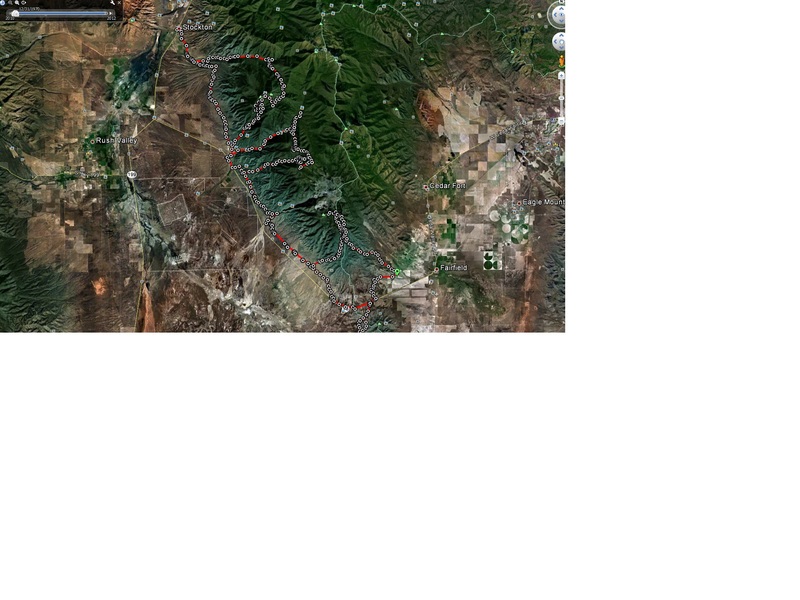 On Saturday, my friend Russ and I decided to pre-ride a route I was contemplating taking my team on. Somewhere along the route, we decided to go way off plan and hit every rugged section we could find.
We staged at the far NE corner of 5Mile pass, then proceeded north to the Skyline drive, then dropped down into Sunshine Canyon before heading toward the MercOphir (yes, I named it that) trail to the top and South of Ophir Canyon. From there, we dropped into Ophir Canyon and rode East to see if the fence was still intact. Sadly, the fence is still there, so we had to run the pavement back toward Hwy73 before heading toward Jacob City. From the top of Jacob City, we continued North down into Soldier Canyon, via the bus and then into Stockton for fuel/drinks.
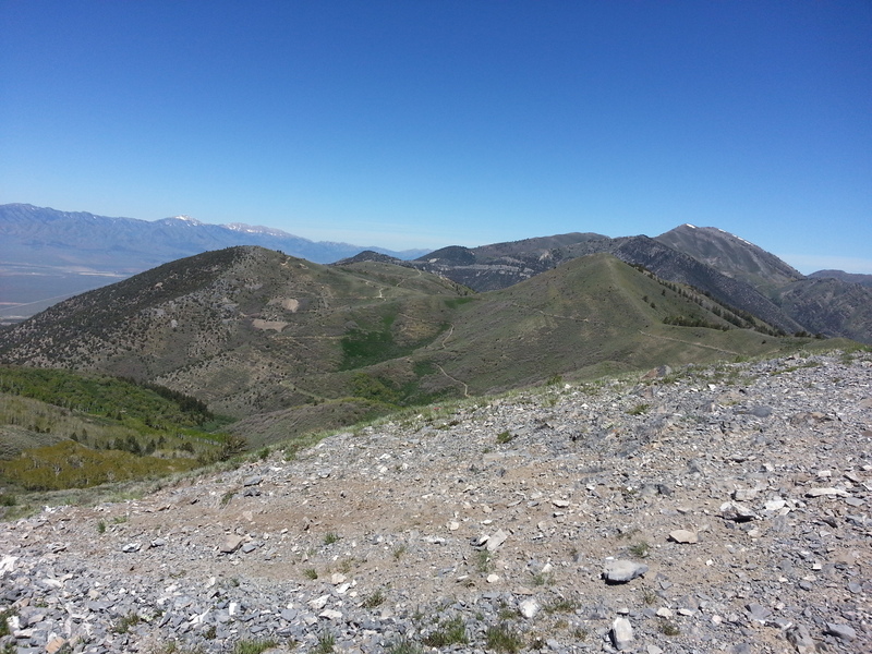
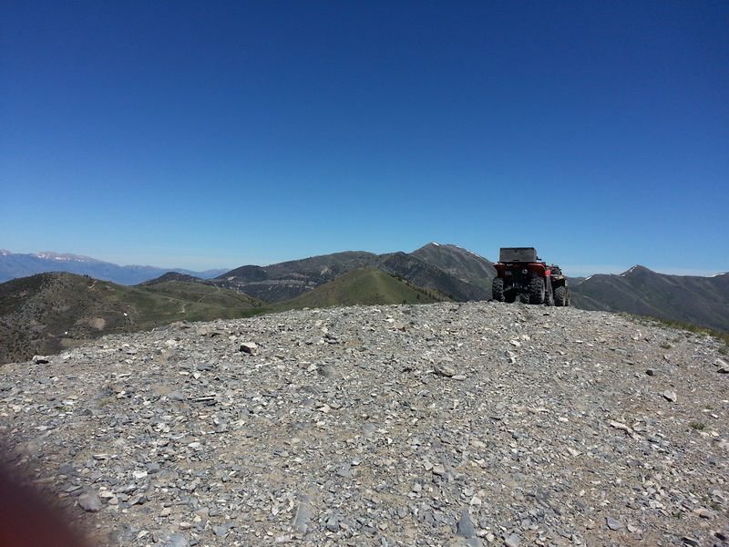
A few photos from the South side and top of MercOphir, overlooking the Mercur mine:


Running 95 miles in the 5Mile Pass area was quite an undertaking, but it was a blast - especially the last few wicked climbs. As Russ stated so plainly: I'll have to clean out my shorts later"..
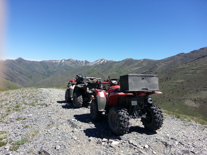
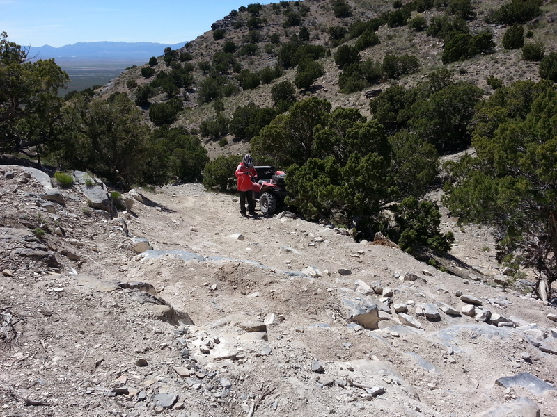
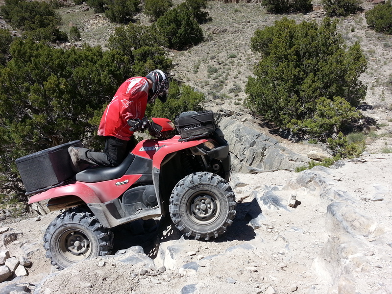
After returning to 5Mile Pass, we rode across Hwy73 to hit the challenging sections on the South side. The stair steps, the Boulderdash (yes, I named this too) and a few other good climbs.


Leave a comment