Rattlesnake Canyon: Tintic Mountains

| No Comments

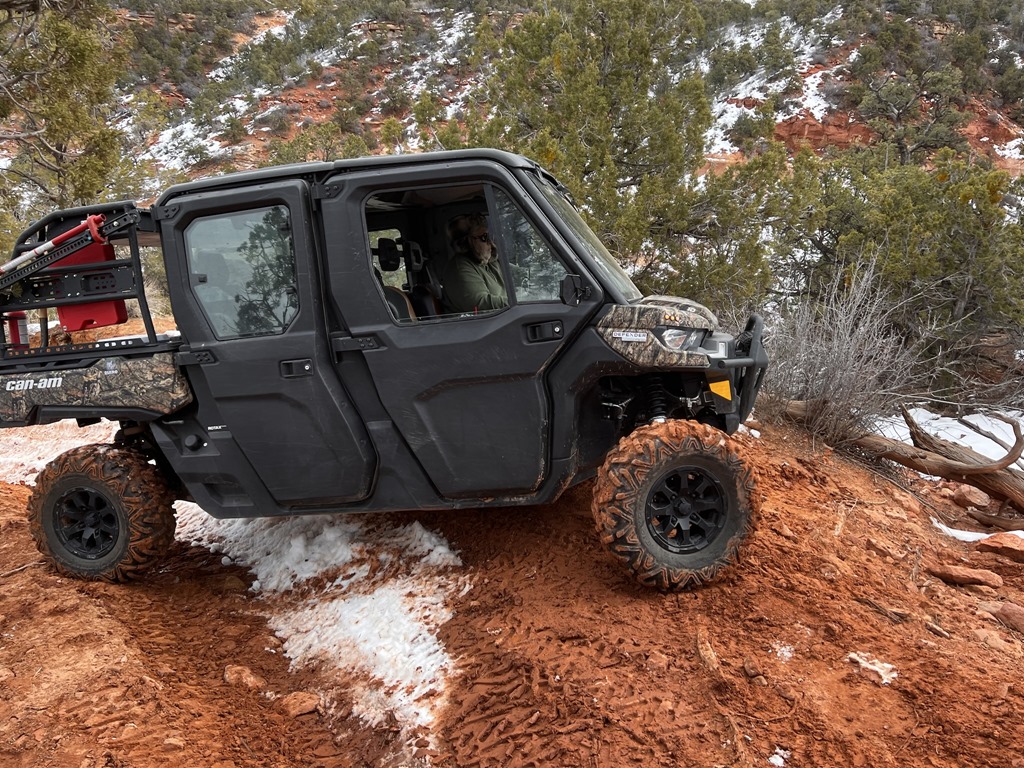
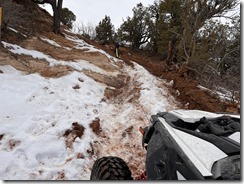
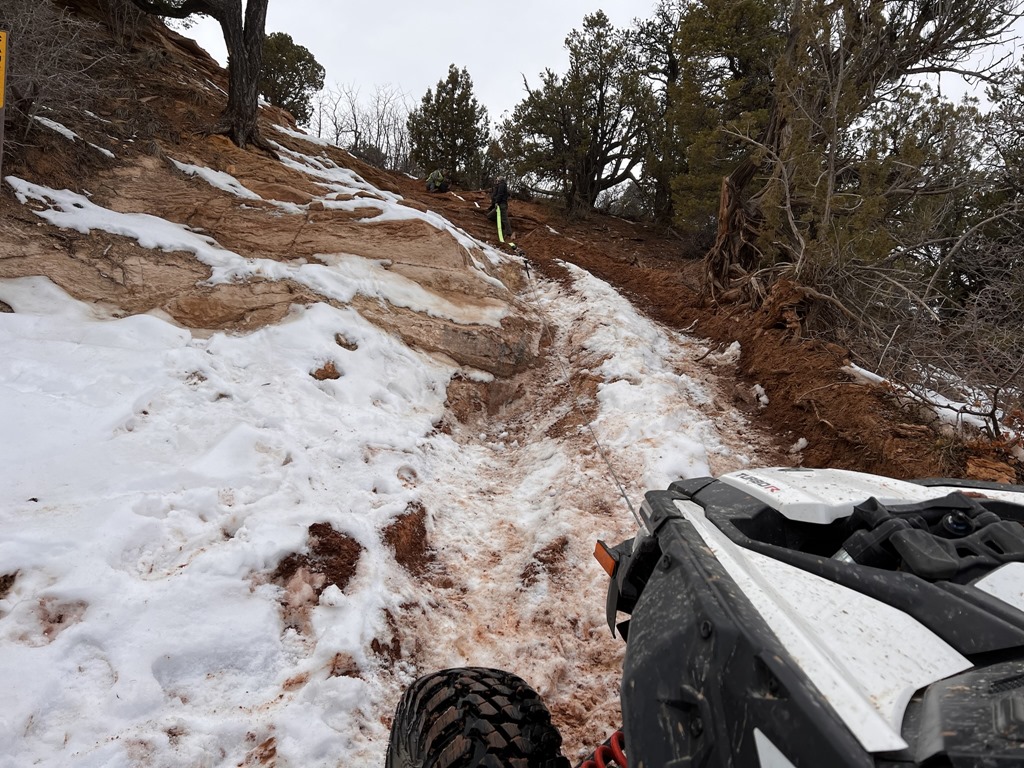
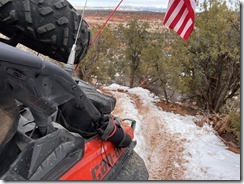
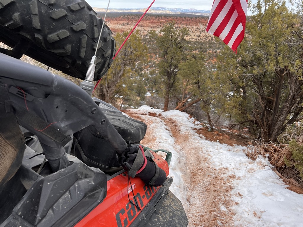
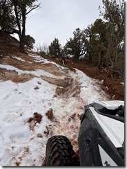
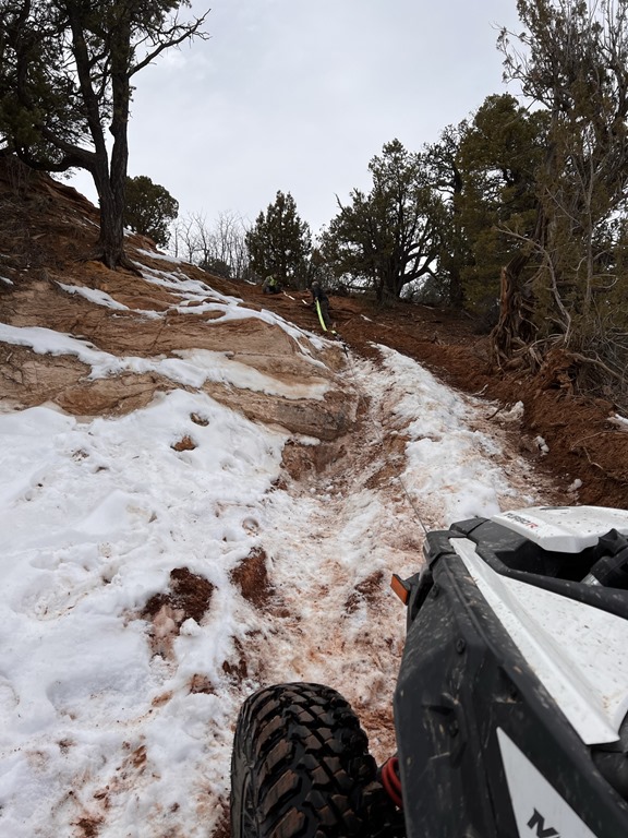
On 3 November, Mike and I staged at Little Moab. Our singular goal was to run Rattlensnake Canyon, a narrow 50" trail that drops down over the top of the mountain to the North end of the Tintic range. Having untouched snow on the ground made the ride even better. A geocache has been placed near the center of the trail and can be found at:

https://www.geocaching.com/geocache/GC8FMJH_rattlesnake-by-bruteforce

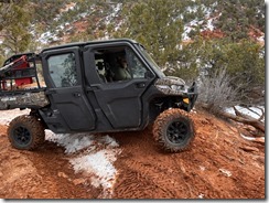
A couple photos and GPSr tracks for this area:

snake1snake2


GPSr Garmin tracks found here:

Eureka-Rattlesnake-Loop.gdb


Leave a comment


 Where is James King?


Language Translation


Other Links:


 Main
 Public Trail Maps
 Archives
 CMS
 About/Contact
 Twitter @BruteForce
 Facebook
 LinkedIn
 Geocaching
 View DGP stats


My Audio & Video:


 Flickr
 YouTube
 Pandora


Elsewhere:


 ATV Utah
 Our ATV Obsession
 Bogley Outdoor Community
 ATV Escape
 Trish's Cake Shop
 Dennis Udink's Site
 Army Ranger
 Alex's World
 Grizzly Guy
 Adventure World TV
 WeatherCam: UofU
 Delta Bravo Sierra Comics  
 PowerPoint Ranger Comics
 Reversaroller ATV Winch

March 2022

Sun Mon Tue Wed Thu Fri Sat
    1 2 3 4 5
6 7 8 9 10 11 12
13 14 15 16 17 18 19
20 21 22 23 24 25 26
27 28 29 30 31    

Recent Photos

About this Entry

This page contains a single entry by James King published on November 5, 2019 8:07 AM.

Circleville to Antimony via Rocky Ford was the previous entry in this blog.

FYTO 2019 is the next entry in this blog.

Find recent content on the main index or look in the archives to find all content.