Recently in Nick Category

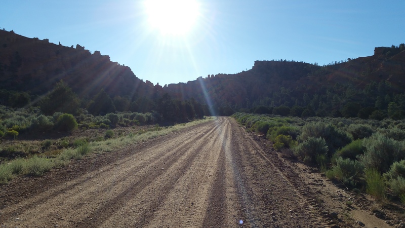
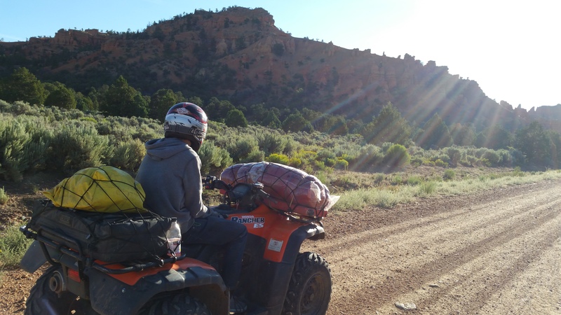
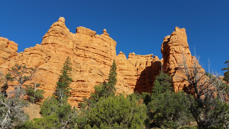
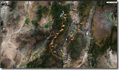
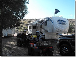
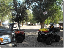
On 01 Sept 2012 - 03 Sept 2012 (over Labor Day weekend), I set out for Lizzie -n- Charlies RV Park in Marysvale, Utah.
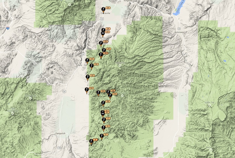
GPSr tracks here: Marysvale-to-Panguitch-Loop.gdb
Our goal was to complete a full loop from Marysvale to Panguitch and back, staying overnight in Panguitch before returning back to Marysvale.
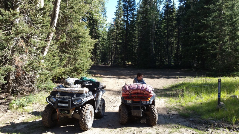
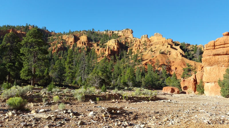
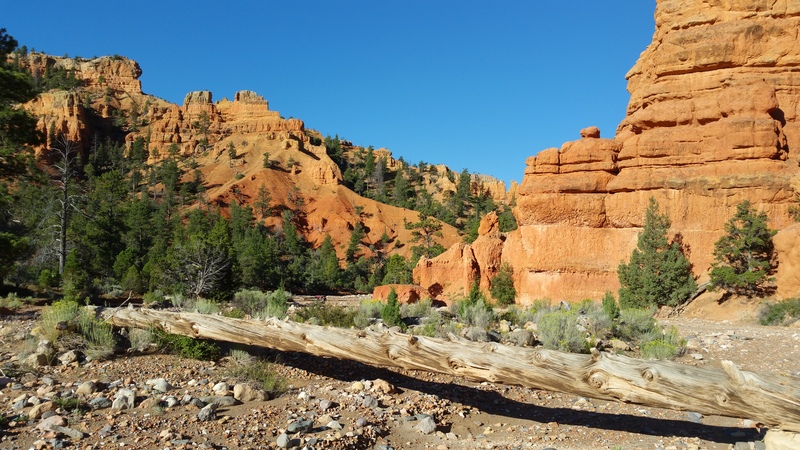
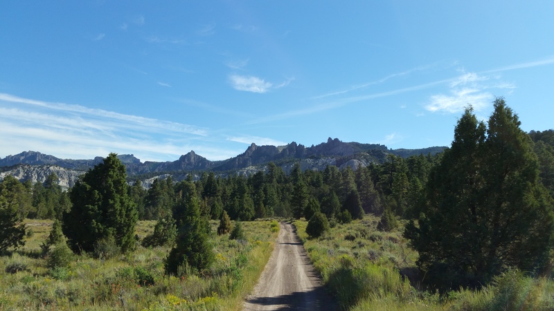
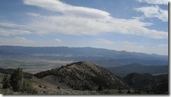
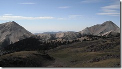
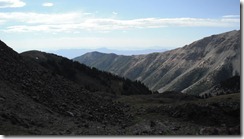
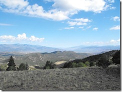
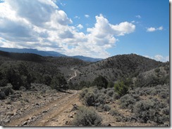
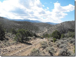
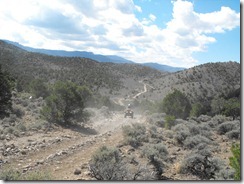
We departed Marysvale at 0930 Saturday morning, following the Paiute 02 trail until it connected to the Paiute 01 South. We climbed elevation until reaching about 11,600' near Delano Peak. The views were breath taking.
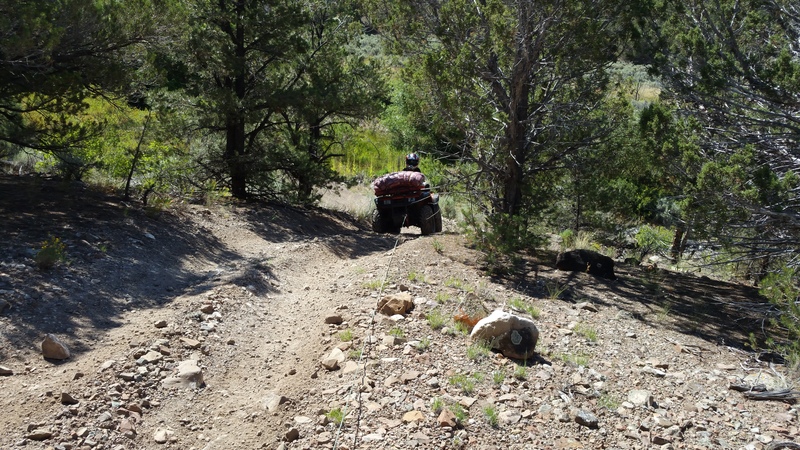
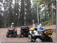
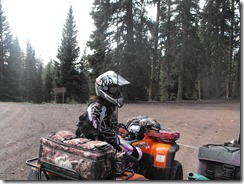
After bypassing the Beaver High Adventure Camp and Three Creeks, we started onto the Paiute 88 trail. This trail was a very narrow two-track surrounded on all sides by Aspen and Pine. As the kids soon discovered, the trail was also quite technical in sections, with tight switchbacks, loads of rocks and other obstacles.
The 88 trail seemed to last 50 miles, as it just went forever. Somewhere high above and West of Junction, East of Beaver, we finally connected to the Paiute 67 trail and continued out southbound journey.
Again, we continued southbound until reaching the 68 trail, which then took us out of the Paiute trail system and onto the Panguitch system. At this point, the trail was foreign and not on my GPSr tracks, so we relied on our compass to continue navigating us to the South and to the East.
Finally, at around 7pm, we could see in the distance Bryce Canyon and what looked to be Panguitch (albeit three mountains to our East).
We continued on. Butts were sore, kids (and I) were hungry and tired. At this point, we were about 90 miles into the days journey.
We pressed on and finally made it into the far South/West corner of Panguitch. We checked into the New Bryce Western Motel, cleaned up and walked over to the Cowboy Steakhouse. Steaks were awesome, but I forgot this place specializes in traditional smoked/BBQ and not in fire grilled steaks.
Day 2: We fuel up and start searching for a place to have breakfast. A local informs us that a truck stop 3 blocks away serves breakfast. We are the only customers. We eat, head back to the motel to pick up the last of our gear and head out.
With everyone being exausted after Day 1 and the 101 miles covered, we decide to skip Casto Canyon and instead, follow the Fremont 02 trail into Circleville. Most of the Fremont 02 is wide open roads, so our speeds were averaging 30-35 mph. We were making great time!
At Circleville, we turn East and catch the Paiute 01 and follow that North, stopping for a brief break just before crossing Kingston Canyon.
Again, the trail pretty much was wide open throttle until we again reached the junction of the 01 and 02 into Marysvale.
We arrived back at camp filthy, exhausted and glad to be back!
In early January 2012, I posted a single question on ATVUtah.com regarding interest in riding the Swell late February. I received a few initial replies from less than 8 folks. As the proposed date (Feb 25) got closer, I saw more replies from folks indicating they had invited others to participate.
Little did I know that this initial query would turn into a massive event where more than 20+ people arrived with truck, trailer and ATV - including one gentlemen all the way from Texas.
My youngest son (Nick) and I arrived early Friday morning (having hoped to depart Thursday, but due to high winds felt it prudent to postpone our departure).
The drive up and over Soldier's summit was hairy. Fresh snow and Ice were on the ground and we really had to take our time towing the 43' 5th wheel down (and up) those grades.
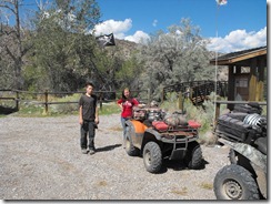
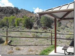
Upon arriving at our camp destination (Buckhorn Well), we were surprised to find that some agency had created a cleared and dedicated camping location - complete with fencing, cattle guards, covered picnic tables and some sort of building structure.
Getting in (due to the size of my 5th wheel) was problematic. The graded county road did not provide enough turning radius to maneuver my rig through the cattle guard. After a bit of maneuvering, I was able to cut a 45 degree angle through the gate and make it in without making contact with the steel posts. Yet more damage to my 5th wheel averted!
Upon arrival, the gentleman from Texas (Jerry) was already camped in his 20' travel trailer. We discussed the weather and overnight temperatures (being reported as being 13-20F each night) and agreed to do some exploratory riding in the morning.
As the next morning came, Jerry approached me to inform me that his exposed fresh water tank had frozen solid overnight and that he was headed into Castledale to secure some form of heater to thaw his tank ( in his words, "I am in need of a shower").
Since the outside temperature was still less than 20F by 8am, we gladly waited for his return and placement of a UV light under his TT tank.
Off we went to explore the nearby trails - our first stop being the crossing at the San Rafael River. The water depth appeared to be 2-3', fast moving with a very thick layer of ice over the far bank. Additionally, the far trail was very washed out, off-camber and thick with mud. We weren't quite prepared to make the crossing that day (considering Nick was on a 2wd Honda and Jerry was somewhat inexperienced (or so it seemed) ).
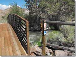
Since we chose to not cross the river that day, we instead chose to follow Buckhorn draw South and cross the "Swinging Bridge". The trail was not technical, but it was scenic - to include a stop at the pictographs on Buckhorn Wash.
While wandering around the side trails on Buckhorn Wash, we stumbled upon some sort of encampment. On the first pass by, I stopped to examine the contents: Many 5 gal water jugs, black bags of tin cans and other assorted gear. Nobody was around. After we backtracked and went by again, we noticed that a huge backpack (5+ day variety) and set of boots was now obvious near the 5gal water jugs. Whoever was there was clearly hiding from us.
So, for Friday, daytime temps were reportedly 42F, but the real-feel (due to wind) was less than 32F. Nighttime temps dropped below 20F. I emailed the group on ATVUtah.com to come prepared with extreme cold weather gear as Saturday was supposed to be same (or worse) weather - with the addition of high wind warnings.
Saturday morning arrives and I spend over an hour getting my ATV to start (due to the extreme overnight temperature). Just after 9am, the first trucks start pulling into the camp spot. After 30 minutes, over 20 vehicles had parked and more seemed to be coming down the county road. I was shocked to see so many people unloading machines.
I take a few minutes to collaborate on the trail route with a few regulars (Dennis and Glenn (both from the Ogden area), gather everyone around to determine experience levels (there were so many that I didn't know) and discuss trail etiquette (if we get to a turn, wait for positive signal from the person BEHIND you before you proceed on a trail turn). We decide to split up into two groups (at least initially) with 12 being in my group and depart. Our first stop, the river.
Glenn goes through first and we determine that the water wasn't as deep as it appeared and he makes it across. We start to funnel others through. Our third rider (Dave) makes it through, but hits the sheet of ice with his tire and breaks the bead, but still manages to make it across. We spend the next 1-2 hours getting the tire back on the wheel. Who knew that Mayonnaise would substitute for grease.. Jerry sure discovered that after 40psi and when the bead does finally settle, that mayonnaise flies everywhere.. (he was covered head to foot in the stuff).
From this location, we continued South along Sid's Mountain, Eva Conover and through the ice and snow to Swayze's Cabin (south of I-70). We had now progressed over 40 miles into our route and were at the half-way point, but already 2pm.
The next few sections were the most difficult: The Devil's Racetrack and Fix-it Pass. Boulder crawling, off-camber and rough terrain for several miles - this really slowed our group's progress. Stopping to assist, prevent tip-overs or rolling off the cliff was critical, especially considering were were rapidly running out of daylight and knowing that we had ~3 hours before the sun went down and were just past the half-way mark.
We managed to get through the Devil's Racetrack with no issues. Most of the riders were capable and with some light spotting, we managed to get everyone through. Off to Sid's Mountain and Fix-it Pass. This location proved to be more difficult, especially for our younger and more eager 2wd young lady. While she seemed unafraid of the terrain and willing, the machine simply wasn't capable of climbing the extreme rocks. With 3 guys man-handling the machine and her father at the controls, we managed to get her machine out of the tight spot.
Now for the other ~20 machines.
After what seemed like 30-40 minutes, we got the entire convoy through Fix-it Pass and continued our journey north. By the time we arrived at Coal Wash, the sun was already going down and the wind was howling. We stopped to regroup, do a head-count and allowed everyone to get even more bundled up with their cold weather gear. The temperature had easily dropped 20F.
Down coal wash we sped (with me at the front, easily hitting 40-50mph) and the group trailing behind. By the time we got to our next turn to head toward the Swinging Bridge, it was pitch black and very cold. At this point, trail etiquette went out the window. Nobody wanted to be left behind or in the dark. I waited (or so I thought) for the last riders to pass, waited an extra 5 minutes then proceeded alone (in the dark) on my own. Unfortunately, I was wearing my tinted goggles, and they made it far too dark to see at night, so I had to ride the remaining ~15-20 miles without eye protection. It was VERY COLD. Shortly before the Swinging Bridge, I caught sight of the convoy ahead of me (easily 1-2 miles ahead) and pressed on. Part of the group became confused at the next turn and I ensured they knew to turn left (West) instead of right (which they seemed about to do).
By the time we made it back to camp (staging area), folks were scrambling in the bitter cold to start trucks, load their machines and get out of the Swell. The time was 8pm.
So concluded a memorable and very long adventure in the Swell. Nick and I remained at camp that night, suffered through the howling winds and freezing temperatures and departed at sun-up the following morning (Sunday).
Unfortunately, it appeared to have snowed at Soldier's Summit again the night before and we had to again traverse snow covered roads towing our 18,000 pound load.
Total mileage was just under 100miles as indicated in these attachments:
Garmin Track (unfortunately, my batteries died on the GPSr and I only saved the return half of the tracks):Swell-Return.gdb
A huge thank-you to Doug McGee for reluctantly (but still willing) to lead a good portion of the trail sections.
On Friday, October 21st (2011), we departed Salt Lake City for Fillmore. Our goal was to get in one more camping and ATV'ing adventure before the weather turned cold and snowy.
On the first Fillmore exit, we stopped to hit Carls Jr. for a quick lunch. Just as we parked, we noticed a guy on a golf cart inspecting every trailer that pulled into the lot. At first, we didn't think much of it.
A few minutes later, this guy was looking at my 5th wheel tires with much interest. He came over and told me that my tire tread was separating and that if I pulled my rig to the service station a few hundred feet away, his guys would gladly mount my spare. I pulled to the service station and was immediately told that all six of my 5th wheel tires were coming apart.
Initially, it looked very likely that I was in a very dangerous situation with my trailer. I was quoted $2100 for 6x Cooper "Provider" tires in 235/80 R16. I declined and we made the 2-3 mile tow to the Fillmore KOA.
Google was fired up and I researched Cooper tires. To my dismay, I learned that Cooper doesn't carry a brand called "Provider", nor did they carry my tire size. Clearly, these guys were pedaling Chinese knock-off tires at twice the price I could source replacements from Discount Tire/Sears/Walmart.
To compound matters, upon arriving at the KOA, we determined that the front electric motor for the levlling legs was not working. We had to manually crank to lower (and then raise) the legs. Additionally, the rear garage door was not sealing completely, allowing both sunlight and bugs to come through.
We settled in that Friday night and for dinner, drove the ~50 miles to Hoovers for another awesome meal.
The following morning (Saturday), we decided to sleep in a bit. Overnight temps were near freezing, so nobody was really inclined to get out into the cold morning air.
My 11am, we had the ATV's loaded and were ready to roll. Destination: Marysvale (just shy of 60 miles one-way across two mountain ranges (Pahvant & Tushar).
Our route would start at the far North/East corner of Fillmore via the Paiute 03 trail through Chalk Creek.
Somewhere near the middle of the Max Reid trail (Paiute 01), the Honda Rancher lost all brakes at one of the steepest sections of trail. My tactic: Get my ATV and my sons in front of the wife and have her just coast down using the two front ATV's at brakes. Success!
Hunters were everywhere in the woods. How they managed to spot a deer is amazing considering how close they all were to each other. Deer to hunter ratio had to be 100:1 (100 hunters for every deer).
We returned to camp after sun-down with temps in the 40-50F range.
That evening, we discussed the situation with the 5th wheel tires. I went out and inspected and determined the tires would be able to handle the 140 mile return trip home.
We departed early Sunday morning and didn't exceed 55mph the entire trip home. We arrived without incident. Seems to me that tire center in Fillmore has a pretty interesting (and unethical) racket: Scope out every trailer, spread FUD (Fear, Uncertainty and Doubt), then when they hook somebody, they increase their tire prices by $600-800 over normal retail.
The quest for replacement tires is underway and the 5th wheel goes back to Motorsportsland for service on Friday. What an eventful weekend. It would be nice to have one outing with the 5th wheel not end with maintenance/repair issues!
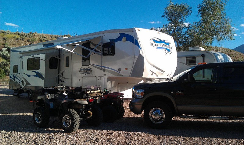
We arrived Wed. early afternoon (after a nice lunch at Hoovers), staged the RV (can't camp without Satellite TV, XBOX360, Air conditionining, 50amp power and ice cubes!) and called it a day.
On Thursday, we met with the TBU group and initially participated in the ride up to Bullion Falls and Monroe Mountain. After eating dirt & dust for a few miles, we (my son, myself and Gary Eli) decided to leave the group and seek out our own adventure. Our destination: Koosharem via the 53 and 33 Paiute trails (some of the most Black Diamond rated trails in the area).
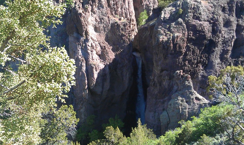
Considering we've ridden this area in years past without issue, we went with our normal half-day gear (wet weather, lunch, drinks). Normally, Marysvale to Koosharem is a 4 hour round trip. This day, it turned out to be a 9am-midnight adventure.
Why was it adventure? Let me tell you our story:
The ride up the Paiute 01 and 02 can be done in a truck; That was our initial trail up the mountain. Upon reaching 7000' elevation, we started to encounter many trails blocked by either downed trees or a combination of massive snow drifts and downed trees. Our only available trails to Koosharem were the 53 and 33. Did I mention Black Diamond rated? (BD=Extremely difficult).
Gary was in a Razr SxS while my 13 year old was in a 2wd Honda Rancher.
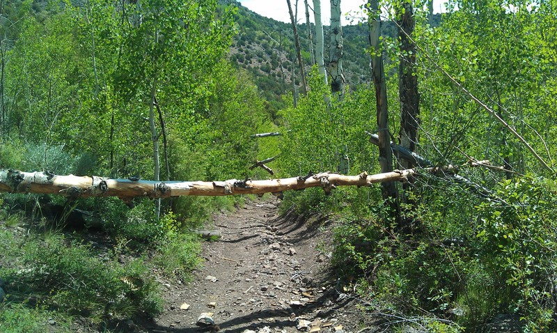
Both trails were not easily accessed due to the amount of trees that had fallen over the trail. We spent a considerable amount of time cutting the trees back. I initially used my trusty handsaw (never leave without it) until Gary came clean that he brought a battery powered Sawz-All. What a relief!
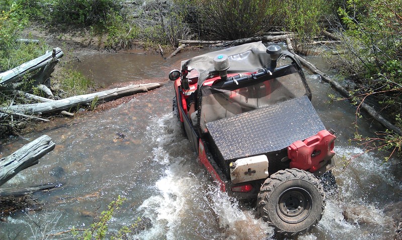
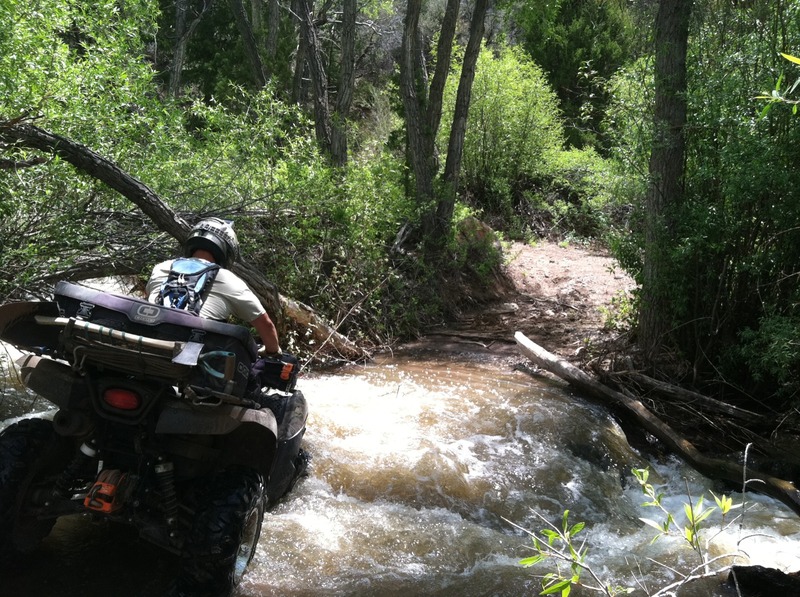
About 1/2 way up the mountain, we encountered our first creek crossing. Was the creek ever moving and deep. After gauging depth, we determined that creek was 2-3'. Probably not safe to cross without either taking water into the intake or having a machine pushed-over on its side. I decided to toss my winch cable across, get across the creek via a fallen tree and hook up the winch cable.
Without fail, a few feet into the creek, I found a hole and the front-end of the quad sunk to the front-rack. Quick action on the winch and throttle popped me out before I ingested water into the machines intake.
Upon arrival on the other side, I reversed the winch process and connected to Nick's 2wd Honda. He clearly didn't want to ride it across, so I tried to pull it across with the winch without a passenger. The power of the creek tried to tip the ATV over, so I quickly jumped into the creek to stabilize the machine. Water was rushing over the top of the quad, so I had to react quickly by shutting the machine off (to minimize any damage to the motor). We got the Honda across and repeated the process with the massive Razr.
Other than fouled plugs, no harm or damage was sustained! (WHEW!).
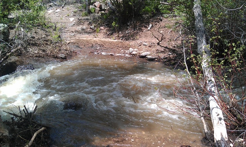
This creek crossing process was repeated a few times while trying to make our way down the mountain.
Near the top (9800'), we encountered a trail junction: Monroe or Koosharem. The sun was going down and the trail we wanted to take was buried by a massive snow drift. Nick egged me on to try the snow-packed trail. I made it 30' into the snow drift before becoming high-centered and stuck. Gary decided he could get his machine in to assist, but also got stuck. Unfortunately, there was nothing close-by to winch to. After combining my 50' winch cable, my extra 50' nylon-coated winch cable, my 12' tow strap, Nicks 8' tow strap and a hand-winch from Gary, we were able to reach the sign post. Our fear was that we'd yank the sign out. We were grateful the USFS sunk and cemented those posts in well, because it got my machine free. In turn, I was able to winch Gary's Razr out. Another hour lost on the mountain.
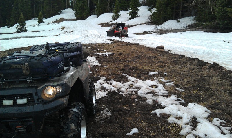
By now, it was nearly 5pm. Where did those hours go? Hmm.. cutting down trees, playing in the snow.. they all added up.
Shortly after extracting ourselves from the snow, we noticed the sky was becoming increasingly black and overcast. Temperatures had dropped 30-40F and the wind was picking up.
By now, we were thinking about an exit strategy and abandoning our route to Koosharem. Unfortunately, all other routes except the Black Diamond rated 33 and 53 trails were not accessible. The safe play was to get closer to civilization. Down the mountain we continued.
We finally reached Koosharem at ~6pm. The gas station and Cafe' were still open. Gary (being diabetic) needed food in order for us to continue. As we dined on burgers and corn-dogs, the storm started raging outside. Winds were easily 60+ mph with raging rain. Temps continued to plummet.
I had no cell service, but Nick's iPhone4g had some ability to dial out. I phoned the wife and put her on standby and to start contacting Flat-bed tow truck companies in Richfield in the event we couldn't make the ~60 mile trek back to camp.
We made two night attempts back up the mountain in driving rain & wind. Unfortunately, our visibility was so low, we constantly missed the trail we needed to take. Back down to Koosharem we went. As luck should have it, the gas station owner was just closing, but allowed us inside while the tow truck arrived (ALWAYS have a PLAN B). By ~10pm, we were loaded up on the two truck and en route to Marysvale. By midnight we were unloaded and back at camp.
Quite an interesting day.. and I'd do it again without hesitation!
The weather was terrible. We only had half a day without rain, snow, sleet or hail. We had to make every minute count and went riding and exploring as much as the cold wet weather would allow.
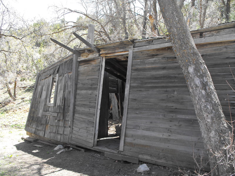
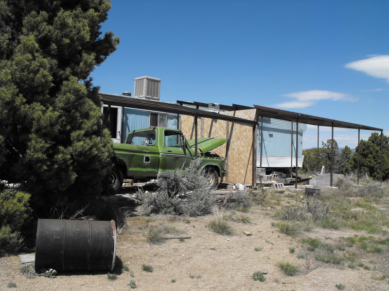
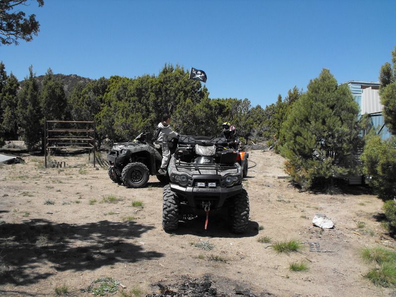
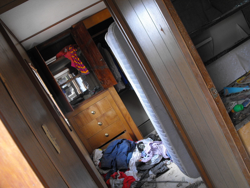
While on a quick morning outing (30 mile round trip), those of us riding discovered an abandoned settlement of some kind. It must have been hastily abandoned a few years ago, because clothing, books, bills (some in Dutch) and two pickup trucks were still there.
En route to Eureka (or so we thought):
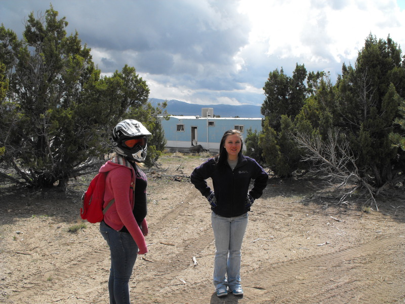
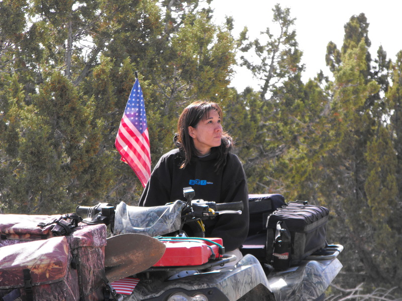
Wife, youngest son Nick, Neice (Megan) and her friend
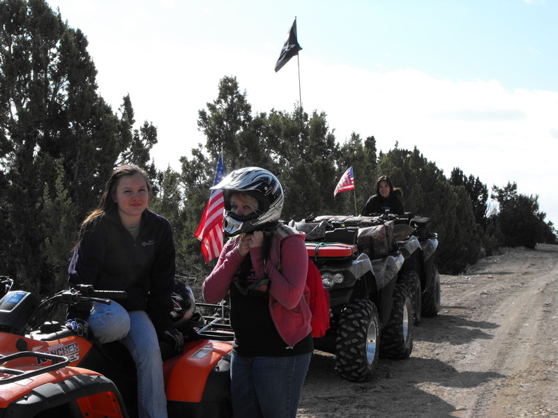
The lovely wife (she hates cameras and is very camera-shy):
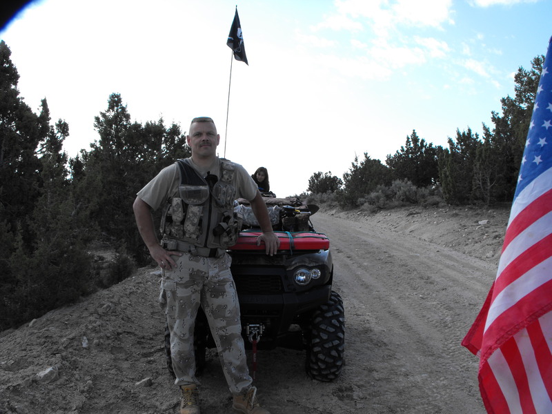
 Me, of course:
One of the abandoned trailer homes found:
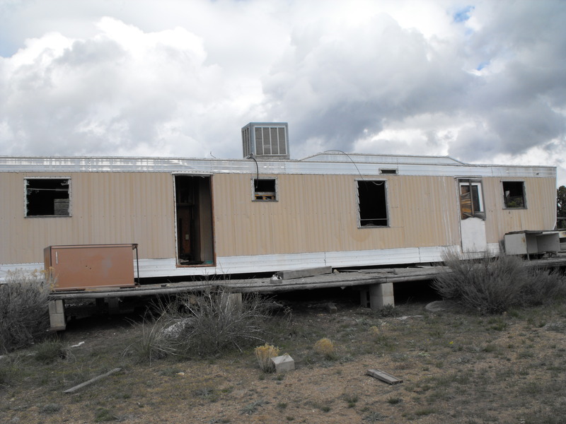
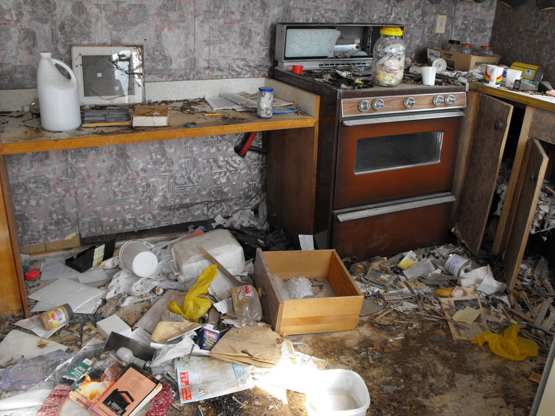
Now, it's not unusual to find abandoned dwellings in the desert, but it is unusual to find them still loaded with clothing and other personal effects. These still had toys, kids bikes, clothes, food, kitchen-ware and two pick-up trucks. Also scattered throughout were books on astrology, generating solar power and various science studies.
Closets still full of clothes. Vermin have thoroughly invaded the location:
On Sunday, a group of friends wanted to be led to this location. The weather was looking grim, but we pressed on anyway. About 3/4 of the way to the location, we entered a cloud layer and it began to rain, then snow and finally hail. I turned the group around and had to stop, setup an emergency fire and get everyone somewhat warm and dried out:
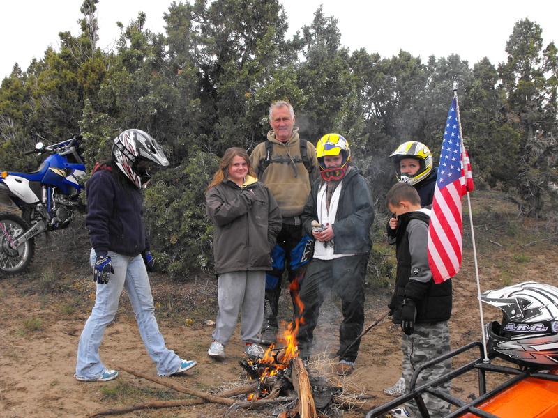
After a grueling 45 minutes of driving through rain, hail and snow we finally made it back to camp. Everyone (myself included) were tired, wet and miserable.
An hour or two later, the weather broke, a bit of sun peeked through and I decided to ride to the mountain to the South of Little Sahara.
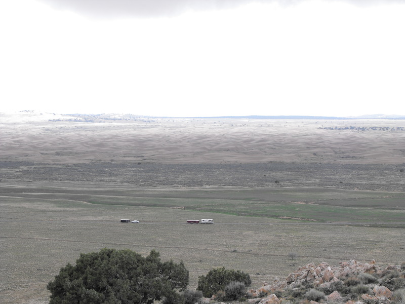
Here's our camp or RV/5th Wheel trailers:
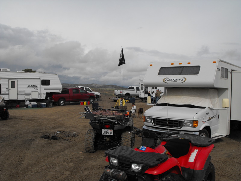
All in all, and even though the weather was gloomy cold and rainy - it still beat sitting around the house over the weekend. I hope to get back out to this area and explore the Jericho area to the North of Little Sahara. Seems there still much to be seen and many trails to be enjoyed.
And.. I'm still no fan of the sand dunes!

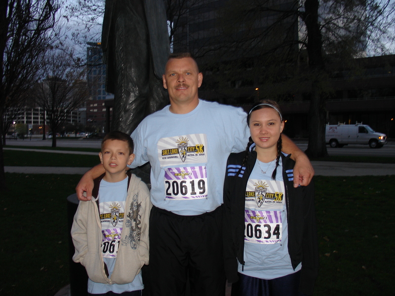
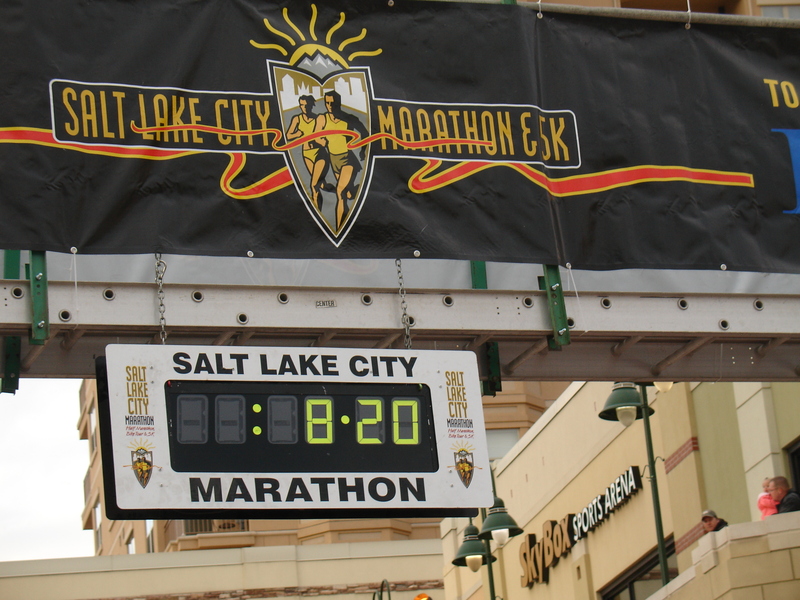
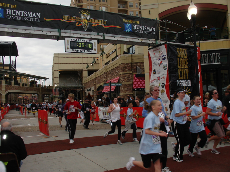
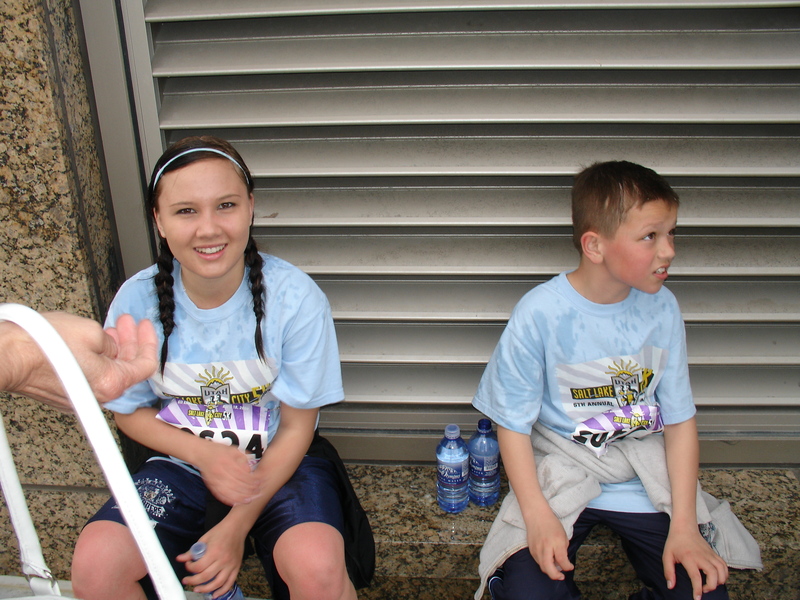
This morning at 0730, we (my 11 year old son Nick and 14 year old niece Megan) ran the 5k portion of the Salt Lake City Marathon.
We didn't train up for this one too much this year and are seriously consider a half marathon (12.2 miles) for our next run.
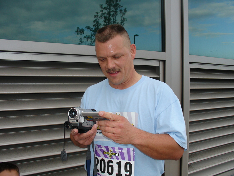
While we're not the fastest runners (35 minutes), we were consistent and sprinted the last 1/4 mile (I'm uploading a short video to YouTube).
It was quite a turn-out, well over 20,000 runners I believe. The fastest runner came in at like 12 minutes for the 5k. WOW! We watched several folks throwing up spaghetti and vomiting other contents. Quite interesting.
The route for this years 5k went from the Salt Lake City Building (400 South and State Street), south to 900 South, then to State Street and State north to South Temple, then over to the Rio Grande station, around and into the Gateway mall area.
SLC_09_5K_coursemap.pdf
Our goal was the Sportsmans Toolkit geocache, approx. 2.5 miles up Mill Canyon Trail. En route to this location, we decided to check on my geocaches that were along the way.
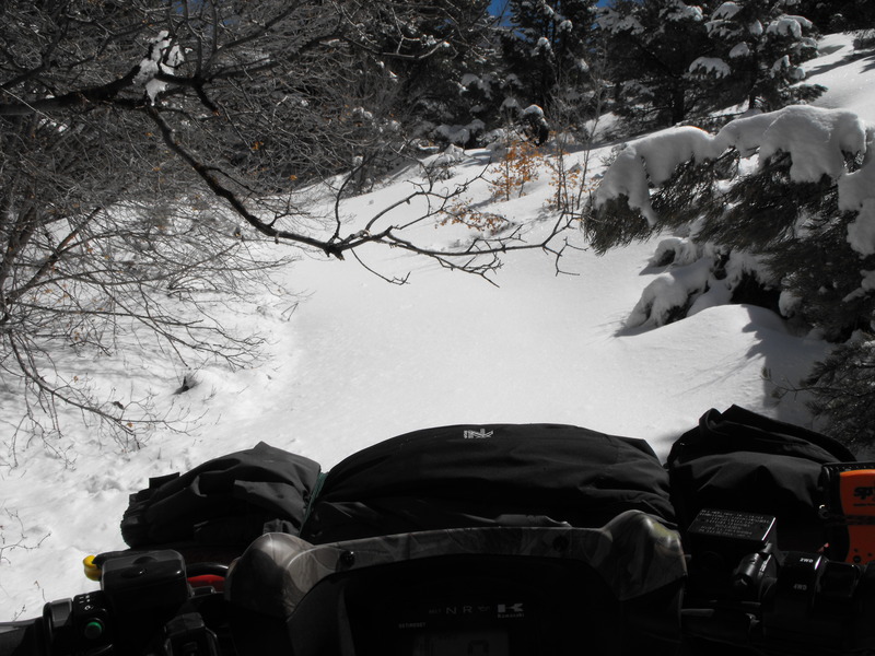
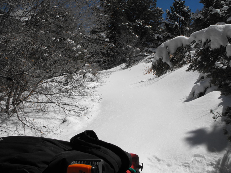
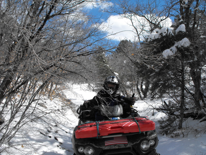
Most of the trail was dry until we got near Mill Canyon. At this point, there was again snow on the ground and further up the trail, several feet of packed snow.
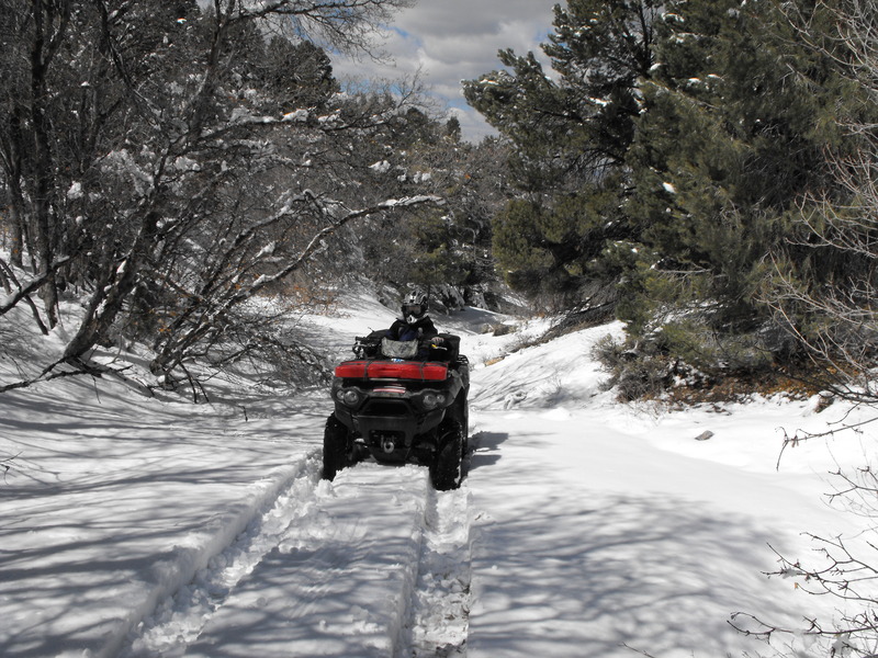
At this point, we both managed to get high centered in the deep snow. Fortunately each machine has a winch and mine also has the TigerTail rear tow-hook system.
To get out, we had to connect the tow hook from my machine to Nicks, and Nicks machine winched to a tree. Voila!
We left the snow and exited Mill Canyon and proceeded back to the main road (graded dirt road) to have a small snack and drink. At this point, a father/son team parked next to us an unloaded a Rhino and proceeded up Mill Canyon.
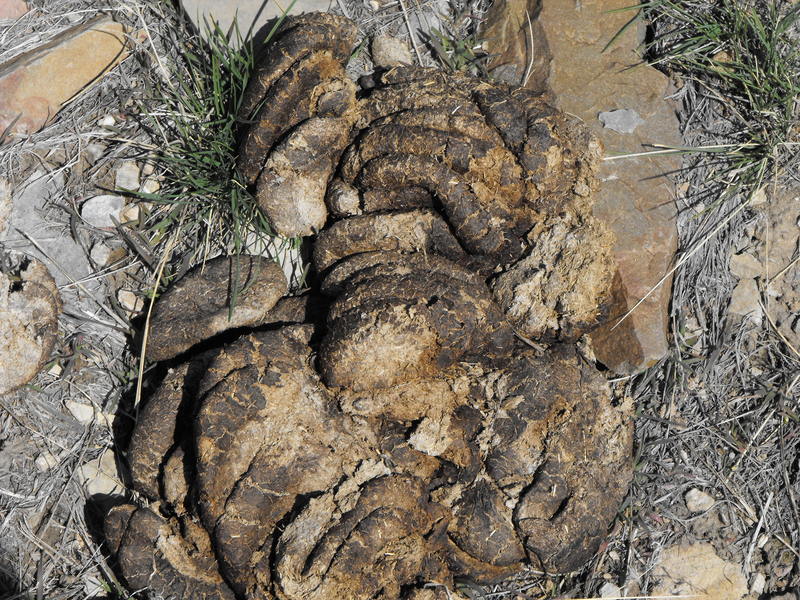
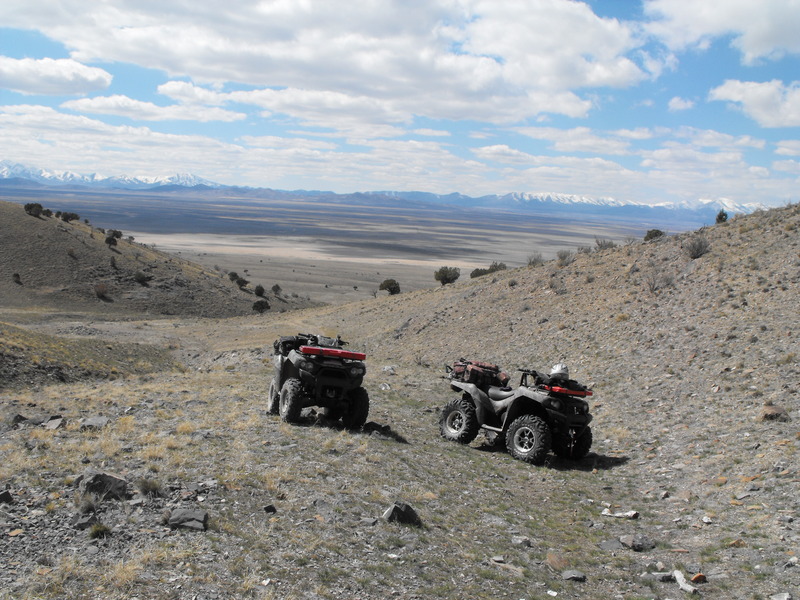
We continued South and explored a few canyons near the old mining ghost towns. At this point, we hid a geocache (think you can figure out where it's at based on the photos?):
When the geocache becomes active, it will be located at: China Poop Canyon
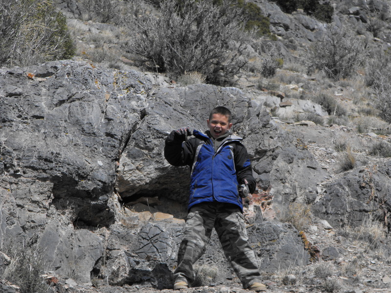
We've been up in this area a couple of times, both hiking and ATV'ing. The last time we were up there, we rapelled to the top of the mountain at the very end of the canyon and had a spectacular view to all directions.
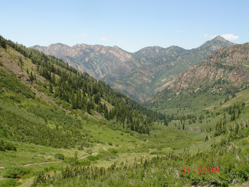
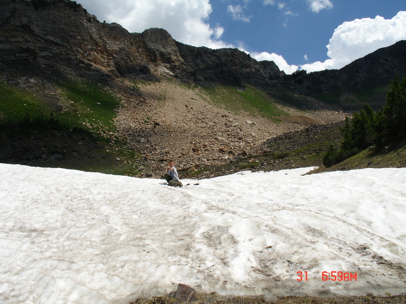
What an outstanding area to hike, climb, geocache in. Seeing these photos again made the case of Spring fever even worse. It's been two weekends now without any real outdoor activity. This past weekend (on Saturday), we celebrated my youngests 11th birthday by taking him and 8 friends to the park for a couple hours of Airsoft war.
On Sunday, a storm front came in, with temps. dropping quickly below freezing, making any chance of outdoor fun out of reach.
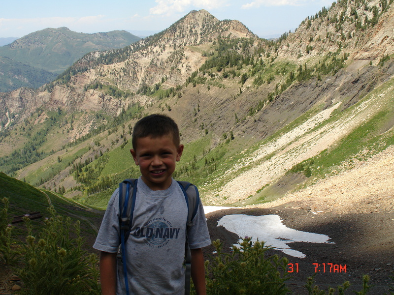
Weather forecasts are indicating that this week and weekend are going to be the same as the past two. It doesn't snow enough to allow me to snowshoe and snows just enough to make things a muddy/slushy mess and that's no fun for hiking and ATV'ing!
ARGH!
Where is James King?
Language Translation
Other Links:
Main
Public Trail Maps
Archives
CMS
About/Contact
Twitter @BruteForce
Geocaching
View DGP stats
My Audio & Video:
Flickr
YouTube
Pandora
Elsewhere:
ATV Utah
Our ATV Obsession
Bogley Outdoor Community
ATV Escape
Trish's Cake Shop
Dennis Udink's Site
Army Ranger
Alex's World
Grizzly Guy
Adventure World TV
WeatherCam: UofU
Delta Bravo Sierra Comics
PowerPoint Ranger Comics
Reversaroller ATV Winch
