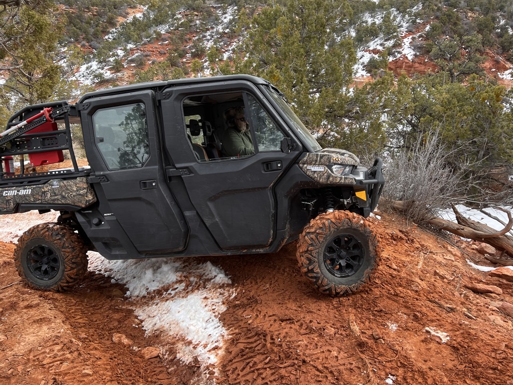
The following is a route I've followed a couple of times to ride from the Five Mile Pass to Jacob City (through Mercur Canyon and over the top of Ophir Canyon).
Total mileage will probably exceed 50+ miles round trip, so if you plan on following this route, bring ample supplies and perhaps extra fuel.
Staging area:
Sunshine Canyon / Rattlesnake Jeep Trail #1 / N 40° 14.882 W 112° 12.823
Note that a hyperlinked name denotes a geocache placement, while just providing a Google Maps or GPSr coordinates simply denotes a trail / location.
From this point, we'll continue North, paralleling both US73 and the Mountains to the East. Bear North/East and proceed to the trail junction at:
N 40 15.369 W 112 12.395
Proceed North/West until you encounter another trail junction at:
N 40 15.901 W 112 13.410
From here, continue North/West for a long stretch until you reach yet another trail junction at:
N 40 16.707 W 112 14.665
At this point, and if you're into geocaching, you can proceed North along this trail along a dry wash and up into the hill until you reach (and hopefully find):
Fire Support / N 40° 17.480 W 112° 13.288
If you decide to pursue this geocache, log it, then continue back to the junction at:
N 40 16.707 W 112 14.665 and continue North/West.
Again, proceed along the North/West trail until the next junction at:
N 40 17.458 W 112 15.656
At this point, we'll bear North / North West toward:
Ogre / N 40° 18.236 W 112° 15.108
If you bag this geocache, sign the log, then proceed North/West until you reach the Mercur Canyon Road (asphalt) at:
N 40 18.508 W 112 15.227
From this point, drive the asphalt South/West until you see the hill banking North/West at:
N 40 18.412 W 112 15.460
This location is more of an improved dirt road than a trail, but it continues North/West and parallels the mountain(s) to the North/West of Mercur. Be aware that further up ahead is a favorite destination for Paintball and AirSoft combat, so don't be surprised if you see Hummers and men outfitted for combat. There are plenty of abandoned concrete buildings and structures along this trail. In addition, the soldiers from Tooele and Dugway sometimes like to take their HumVee's out here to "break-them-in".
Continue to follow this trail North/West to the trail junction at:
N 40 19.456 W 112 17.099
At this location, break North/East (toward the mountain) and proceed North toward:
N 40 19.557 W 112 17.087
Continue following this trail North, then slightly banking West to the junction at:
N 40 19.866 W 112 17.300
At this location, continue North again until:
N 40 20.314 W 112 17.608
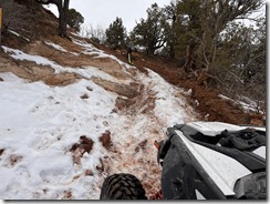
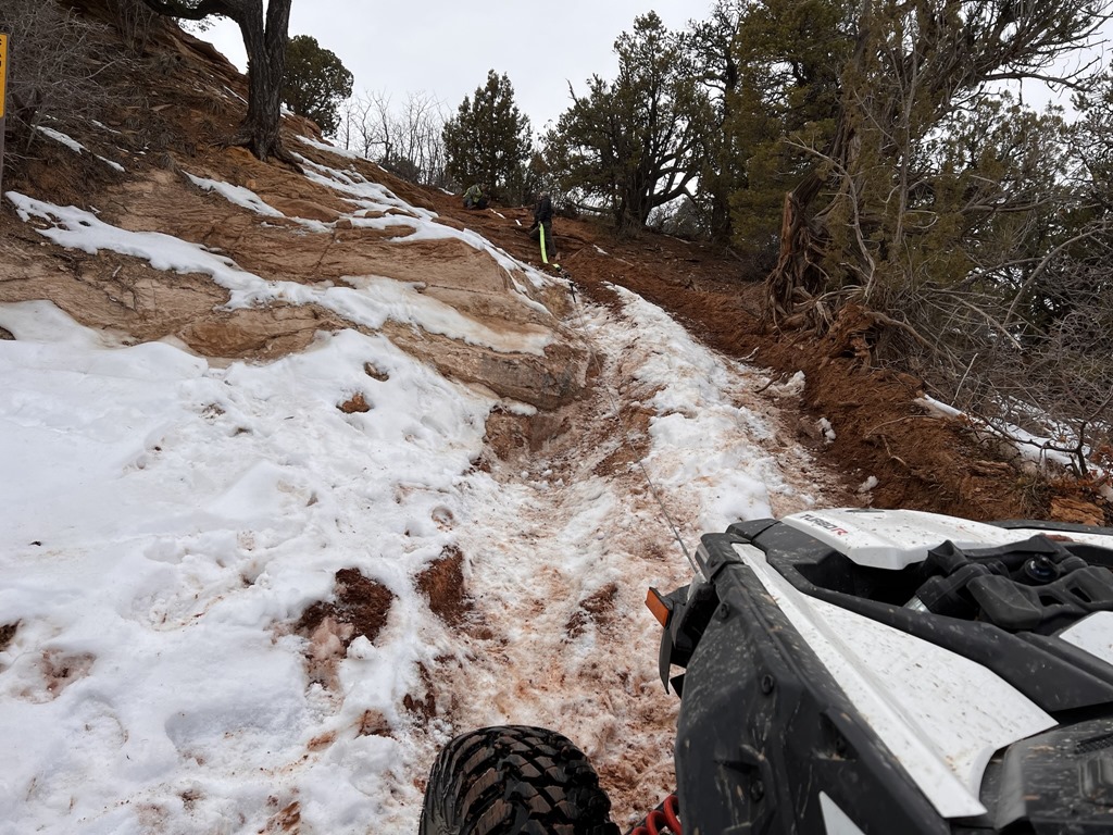
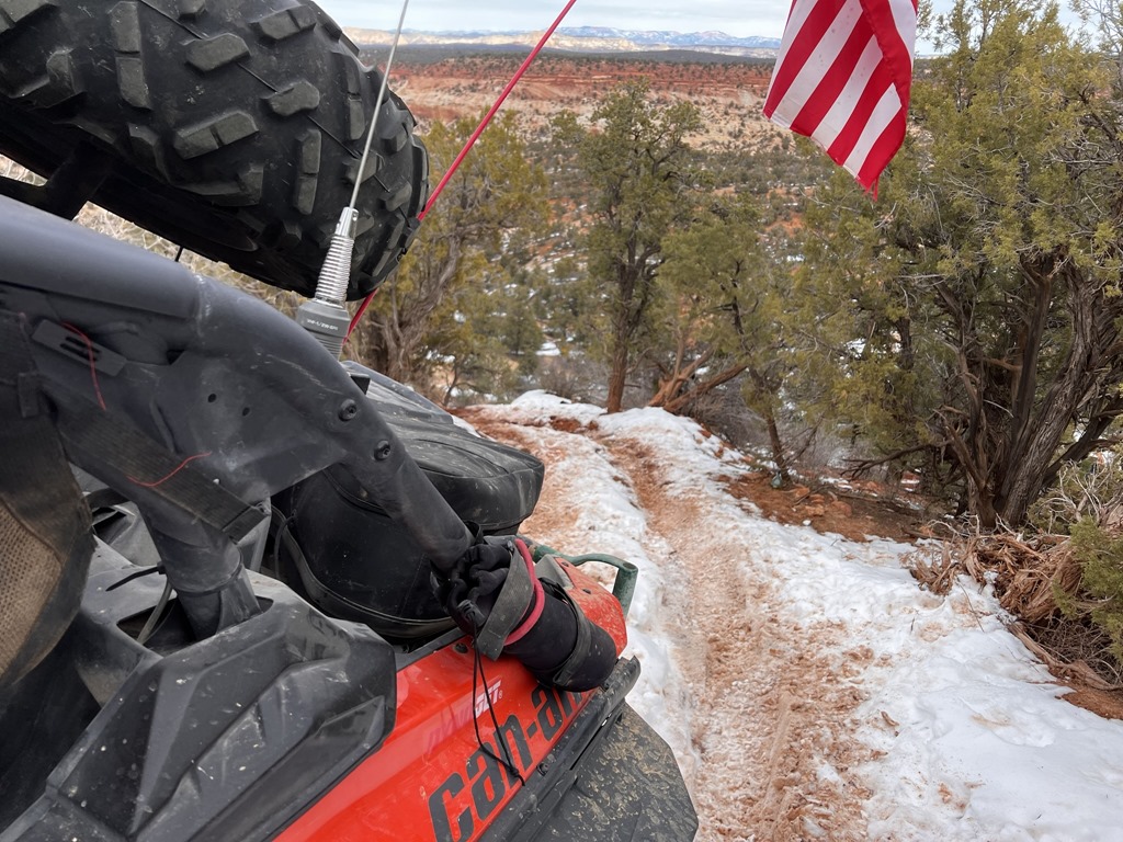
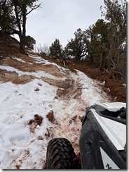
From this location, we head up and into the mountain and proceed due East up above Mercur and Ophir Canyons. Simply follow this trail up and around. Be cautious for cows, cowboys, snakes and other items along this somewhat narrow and very rocky trail. Proceed East until approximately:
N 40 21.060 W 112 14.138
At this point, the trail breaks North and South. Proceed North (left) toward Ophir, or South (right) toward the top of Mercur Mine. At this point, it's up to you, but the continue to Jacob City, you must proceed North (left).
Catch the switchbacks and continue North/East toward approximately:
N 40 21.305 W 112 14.335
From this location, follow the trail North and downward (down the hill toward):
N 40 21.406 W 112 14.338
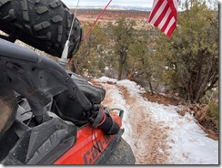
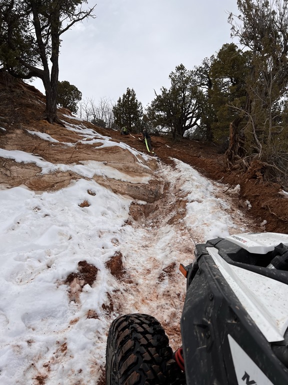
There are several abandoned mines and buildings in this area. Feel free to explore, but please don't go off trail or destroy anything. When you've finished your discovery, continue down the mountain, following the various switchbacks until you're at the bottom of Ophir Canyon at approximately:
N 40 22.724 W 112 14.427
Most of the property (if not all) at the base of the canyon is private (and marked), but the road is owned by the county and can be ridden on with ATV's provided you do not exceed 25mph (per signage). Poeple do live in this valley, so please respect their privacy, noise, etc.
More to come later. How to get back is not quite as simple!
Total mileage will probably exceed 50+ miles round trip, so if you plan on following this route, bring ample supplies and perhaps extra fuel.
Staging area:
Sunshine Canyon / Rattlesnake Jeep Trail #1 / N 40° 14.882 W 112° 12.823
Note that a hyperlinked name denotes a geocache placement, while just providing a Google Maps or GPSr coordinates simply denotes a trail / location.
From this point, we'll continue North, paralleling both US73 and the Mountains to the East. Bear North/East and proceed to the trail junction at:
N 40 15.369 W 112 12.395
Proceed North/West until you encounter another trail junction at:
N 40 15.901 W 112 13.410
From here, continue North/West for a long stretch until you reach yet another trail junction at:
N 40 16.707 W 112 14.665
At this point, and if you're into geocaching, you can proceed North along this trail along a dry wash and up into the hill until you reach (and hopefully find):
Fire Support / N 40° 17.480 W 112° 13.288
If you decide to pursue this geocache, log it, then continue back to the junction at:
N 40 16.707 W 112 14.665 and continue North/West.
Again, proceed along the North/West trail until the next junction at:
N 40 17.458 W 112 15.656
At this point, we'll bear North / North West toward:
Ogre / N 40° 18.236 W 112° 15.108
If you bag this geocache, sign the log, then proceed North/West until you reach the Mercur Canyon Road (asphalt) at:
N 40 18.508 W 112 15.227
From this point, drive the asphalt South/West until you see the hill banking North/West at:
N 40 18.412 W 112 15.460
This location is more of an improved dirt road than a trail, but it continues North/West and parallels the mountain(s) to the North/West of Mercur. Be aware that further up ahead is a favorite destination for Paintball and AirSoft combat, so don't be surprised if you see Hummers and men outfitted for combat. There are plenty of abandoned concrete buildings and structures along this trail. In addition, the soldiers from Tooele and Dugway sometimes like to take their HumVee's out here to "break-them-in".
Continue to follow this trail North/West to the trail junction at:
N 40 19.456 W 112 17.099
At this location, break North/East (toward the mountain) and proceed North toward:
N 40 19.557 W 112 17.087
Continue following this trail North, then slightly banking West to the junction at:
N 40 19.866 W 112 17.300
At this location, continue North again until:
N 40 20.314 W 112 17.608
From this location, we head up and into the mountain and proceed due East up above Mercur and Ophir Canyons. Simply follow this trail up and around. Be cautious for cows, cowboys, snakes and other items along this somewhat narrow and very rocky trail. Proceed East until approximately:
N 40 21.060 W 112 14.138
At this point, the trail breaks North and South. Proceed North (left) toward Ophir, or South (right) toward the top of Mercur Mine. At this point, it's up to you, but the continue to Jacob City, you must proceed North (left).
Catch the switchbacks and continue North/East toward approximately:
N 40 21.305 W 112 14.335
From this location, follow the trail North and downward (down the hill toward):
N 40 21.406 W 112 14.338
There are several abandoned mines and buildings in this area. Feel free to explore, but please don't go off trail or destroy anything. When you've finished your discovery, continue down the mountain, following the various switchbacks until you're at the bottom of Ophir Canyon at approximately:
N 40 22.724 W 112 14.427
Most of the property (if not all) at the base of the canyon is private (and marked), but the road is owned by the county and can be ridden on with ATV's provided you do not exceed 25mph (per signage). Poeple do live in this valley, so please respect their privacy, noise, etc.
More to come later. How to get back is not quite as simple!

OK, I think I am ready to try this. Thanks for posting those ride coordinates.