On Sunday (day before Labor Day), the entire family (+ niece Megan and dog Gauge) took off to Alpine. In the corner of that quiet, but very luxurious community lies a trail head that climbs for well over 3000' in elevation gain to the top of Lone Peak.
The trail head begins at: Dry Creek Trailhead
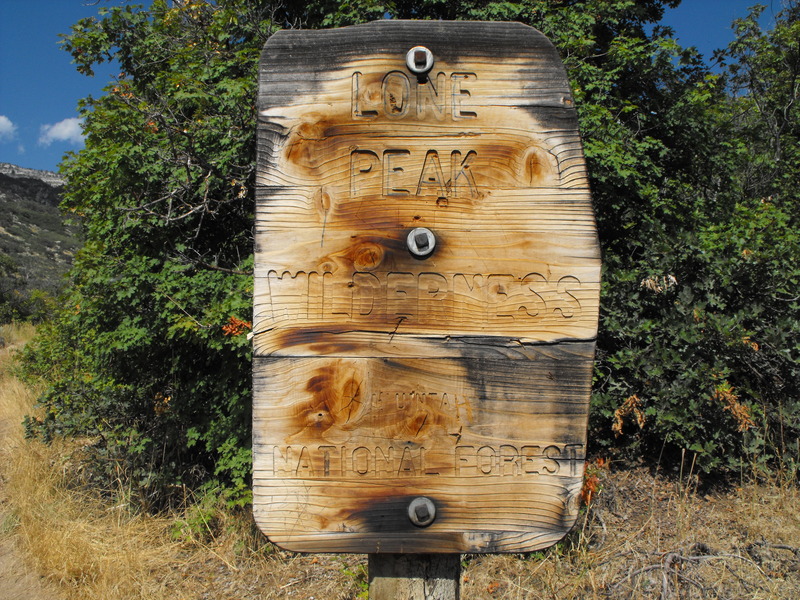
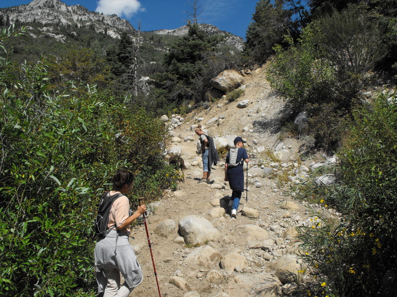
From this location, the trail just climbs continuously, while going through pine, aspen and to our surprise - lush fern covered areas of trail.
About .38 miles up the trail, the family was already winded and stopped for a leg/breathing break.
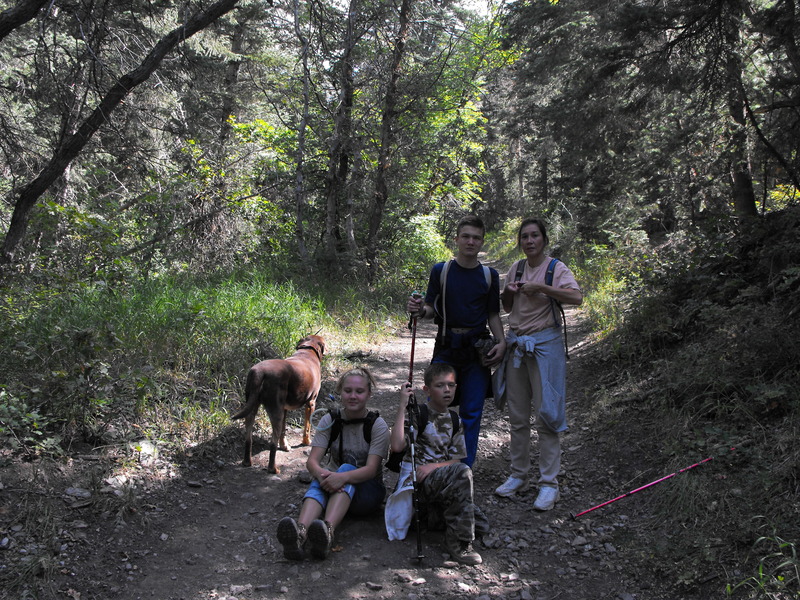
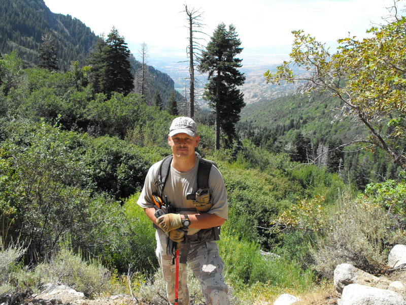
I convinced the family to keep moving and off we went, more upward climbing. At this point, we had already attained an elevation gain of 800'. The trail wanders through dense areas of trees and open spaces consisting of large boulders. (Read: HOT areas).
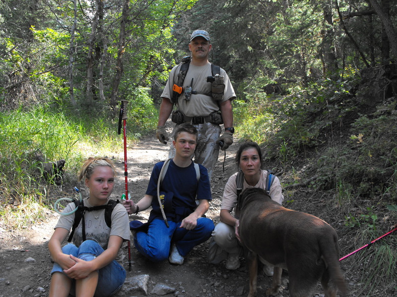
Our goal was to hike at least 3-5 miles to an open spot at the top. This location affords both shade and areas to sit and enjoy a late lunch.
Along the way, we hit several geocaches that I had bagged in 2007.
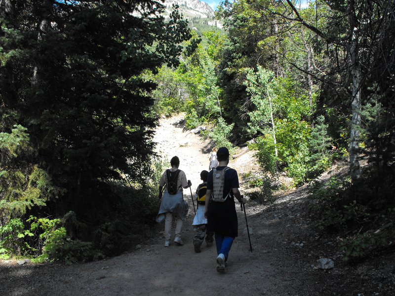
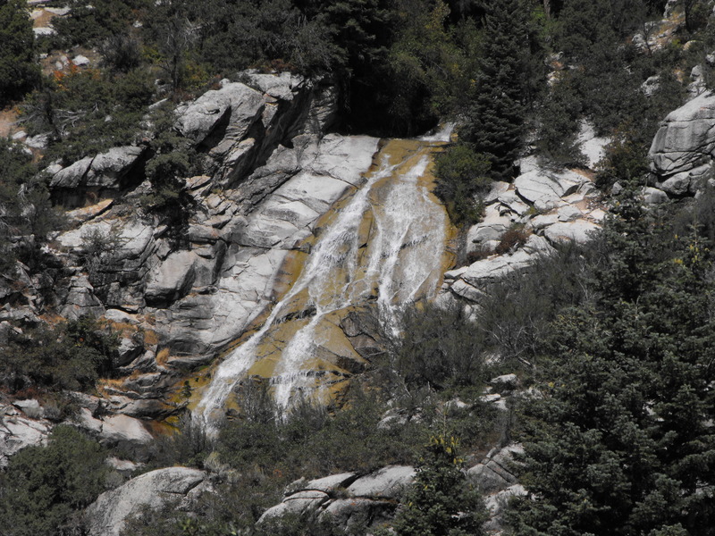
Crossing the trail (closer to the top) was an awesome creek. The water runs fast and cold. Our dog Gauge really seemed to enjoy and appreciate the frequent creek crossings. As indicated in the photo above, there were also many water falls along the trail.
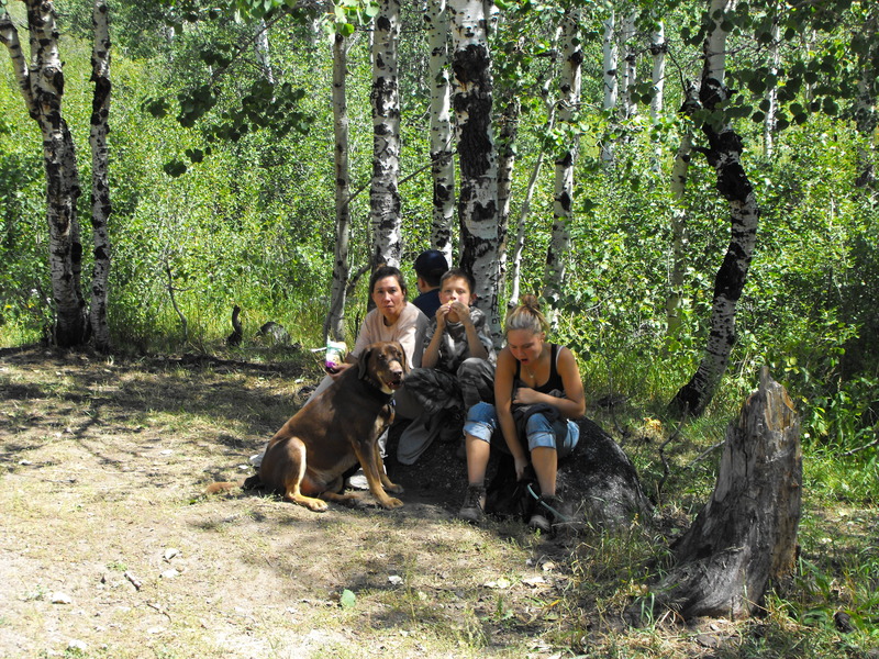
At the top, it was evident that everyone was exhausted. We found our sheltered area and broke out the food. In my pack (now weighing about 60 pounds) were several bottles of water (for the dog), several cans of stew, Vienna sausages and other delicacies.
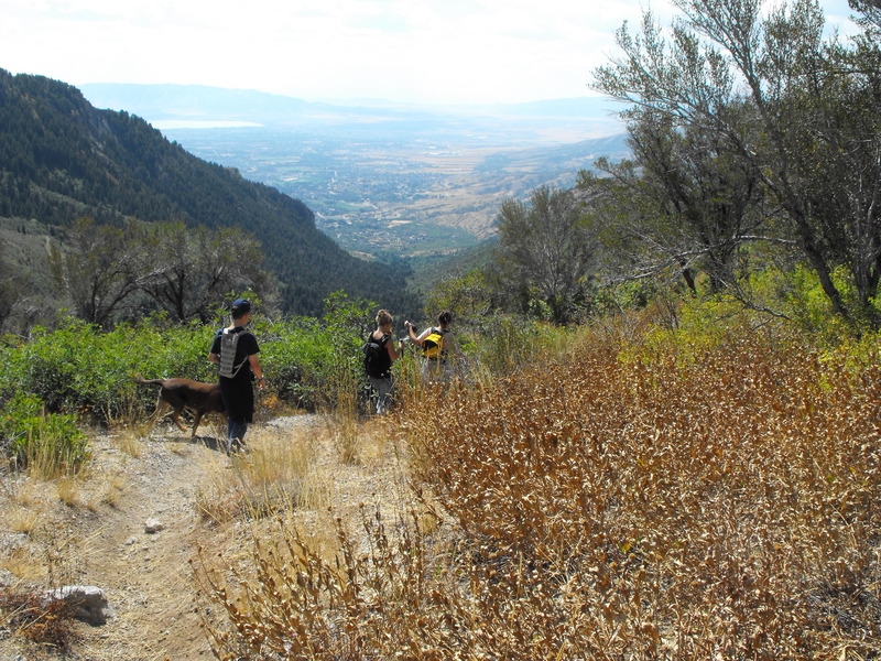
After resting up, enjoying the running creek and our lunch, we packed up and started the journey back down. Everyone was excited to walk downhill, but the excitement soon became reality when the group discovered that going downhill isn't as easy as it seemed it should be. Loose rock and steep locations made for tricky footing and many in our group fell more than once.
The trail head begins at: Dry Creek Trailhead

From this location, the trail just climbs continuously, while going through pine, aspen and to our surprise - lush fern covered areas of trail.
About .38 miles up the trail, the family was already winded and stopped for a leg/breathing break.

I convinced the family to keep moving and off we went, more upward climbing. At this point, we had already attained an elevation gain of 800'. The trail wanders through dense areas of trees and open spaces consisting of large boulders. (Read: HOT areas).

Our goal was to hike at least 3-5 miles to an open spot at the top. This location affords both shade and areas to sit and enjoy a late lunch.
Along the way, we hit several geocaches that I had bagged in 2007.

Crossing the trail (closer to the top) was an awesome creek. The water runs fast and cold. Our dog Gauge really seemed to enjoy and appreciate the frequent creek crossings. As indicated in the photo above, there were also many water falls along the trail.

At the top, it was evident that everyone was exhausted. We found our sheltered area and broke out the food. In my pack (now weighing about 60 pounds) were several bottles of water (for the dog), several cans of stew, Vienna sausages and other delicacies.

After resting up, enjoying the running creek and our lunch, we packed up and started the journey back down. Everyone was excited to walk downhill, but the excitement soon became reality when the group discovered that going downhill isn't as easy as it seemed it should be. Loose rock and steep locations made for tricky footing and many in our group fell more than once.



Leave a comment